
NATIONAL PARKS
Big Bend
A Field Guide
On this page
Two November days on the Rio Grande: a cold, rainy soak at Langford Hot Springs and a rare desert snow, the visitor center exhibits, the green river through Santa Elena Canyon, and one of the best sunsets of my life. Plus an off-grid rental that went wrong, and how to pick lodging so yours doesn't.
Version 1.1 · Updated Nov 17, 2026
Map
When to go
Average monthly visits, 2023–2025. Source: NPS visitor statistics. ● marks the months we visited.
| January | 44,957 |
|---|---|
| February | 49,630 |
| March | 96,795 |
| April | 67,936 |
| May | 39,707 |
| June | 22,425 |
| July | 18,262 |
| August | 16,110 |
| September | 23,443 |
| October | 46,859 |
| November | 59,151 |
| December | 60,956 |
Big Bend did not start well. Our rental was a disaster, the first day was cold and rainy, and the hot springs were one of the more awkward experiences we've had in a park.
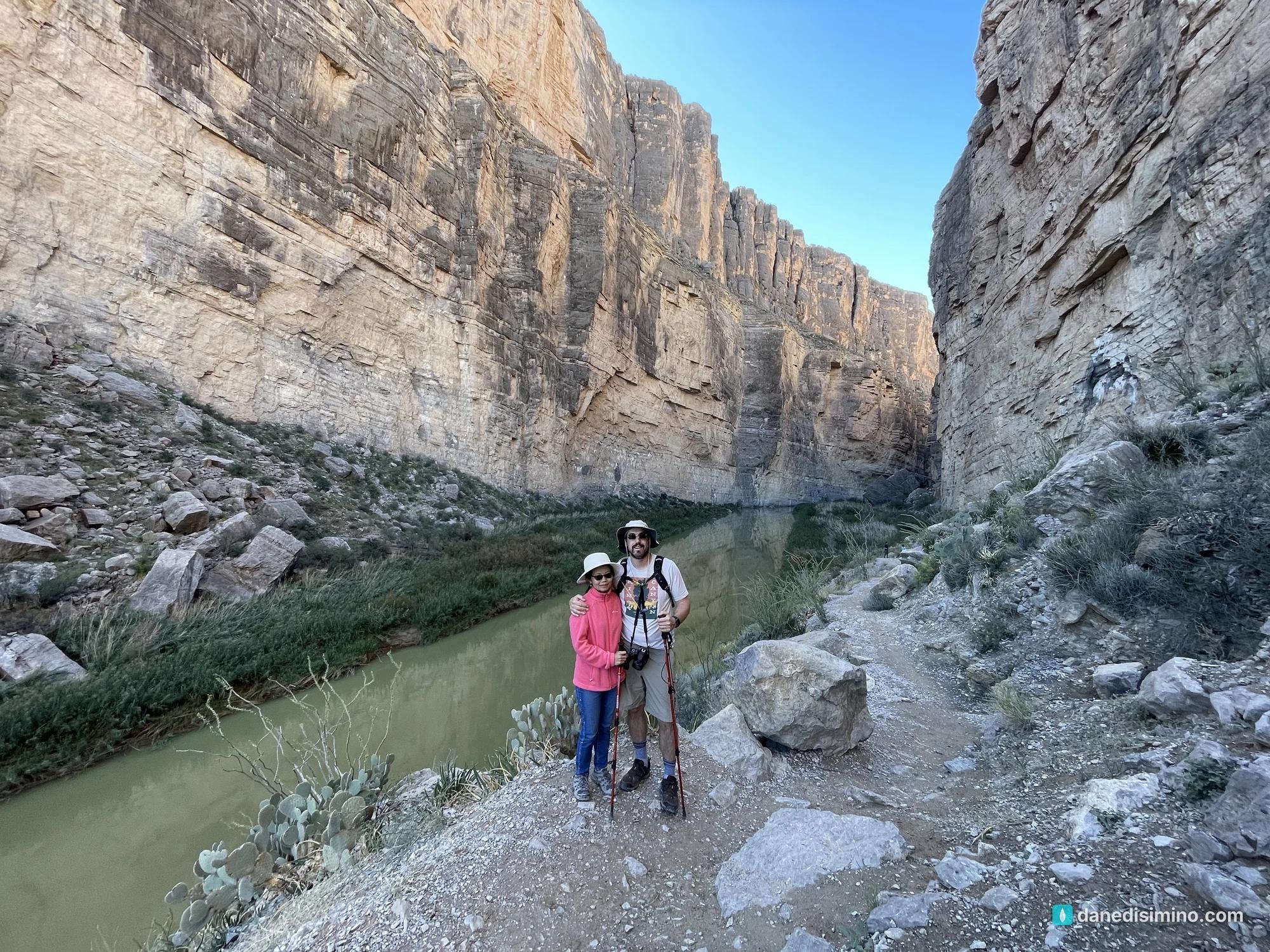
Then the sky cleared. The next day we walked into Santa Elena Canyon beside a green Rio Grande, with Mexico on the other side of the water, and that evening the mountains lit up orange in one of the top two or three sunsets I've ever seen.
We went over Thanksgiving weekend, late November 2022.
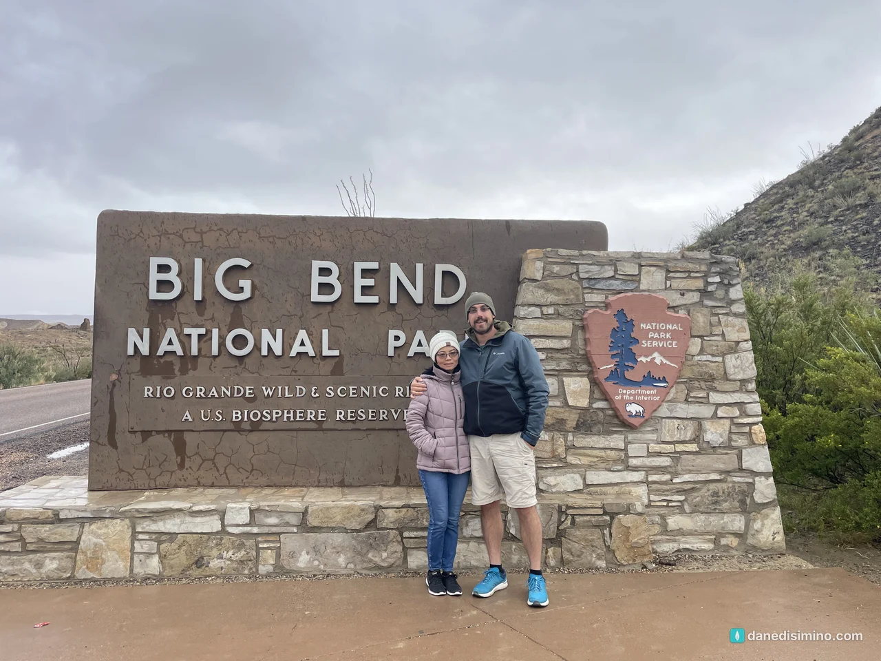
The first day tested us. The second day was one of the best we've had in any park.
The short version
Vet your lodging hard. Big Bend is remote, and a lot of rentals near the park are off-grid. Ask about power and water before you book.
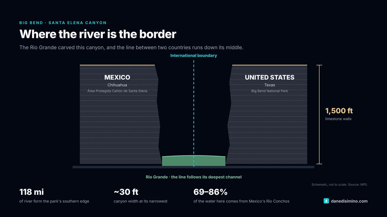
Hike Santa Elena Canyon. It's 1.6 miles round trip with 80 feet of climbing, between 1,500-foot walls, beside the river that forms the border.
Drive the Ross Maxwell Scenic Drive. Sotol Vista, Cerro Castellan and the canyon overlook are all on the way to the trailhead.
Stay out for sunset and the stars. The light on the Chisos Mountains at dusk is unforgettable, and the night skies are some of the darkest in the country.
Soak in the hot springs on a nice day. They're best when the weather's warm and the crowd is small. We had neither.
The park at a glance
- 118 mi
- Of Rio Grande along the park's edge
- 1,500 ft
- Santa Elena Canyon's walls
- 7,832 ft
- Emory Peak, the highest point
- 450+
- Bird species recorded
Where: far west Texas, on the big bend of the Rio Grande. It's a long way from anywhere, so plan your gas and groceries.
Size: 801,163 acres, one of the larger parks in the system. Driving between the river, the desert and the mountains takes real time.
Entrance fee: $15 to $30 depending on how you enter. Card only, no cash, and no reservations needed.
When: March is the busiest month and August the quietest. Fall, winter and spring are the comfortable seasons; summer in the desert is brutal.
Contact: nps.gov/bibe. In an emergency, call 911.
A geologist's paradise
Geologists have called Big Bend both a paradise and a nightmare. Rock layers stand on end, lie at odd angles or sit upside down. A Texas historian in 1937 called it "the finest example of earth-wreckage in Texas." Here's the short version of how it got that way:
Ancient seas. Around 135 million years ago, a warm, shallow sea covered the area. Shells and lime mud piled up into the thick limestone you see in the cliffs of the Sierra del Carmen and the walls of Santa Elena Canyon. You can spot fossil seashells along the Santa Elena Canyon trail.
Mountains pushed up. Near the end of the age of dinosaurs, the same squeeze that built the Rocky Mountains folded the rock here. Mariscal Mountain is the southernmost tip of the Rockies in the U.S.
Volcanoes. Between about 38 and 32 million years ago, eruptions inside the park built most of the Chisos Mountains and spread the colorful ash and lava you see near Castolon.
The middle dropped out. Starting around 26 million years ago, the land stretched and the center of the park sank along faults. The limestone at the base of the mountains on one side matches the layers at the top on the other.
The river cut through. Only in the last two million years did the Rio Grande break through to the Gulf and carve the park's great canyons.
The park also has one of the richest fossil records in the National Park System: more than 1,200 fossil species over a 130-million-year span, including the dinosaur extinction. Big Bend was home to Quetzalcoatlus, a pterosaur that was the largest flying creature of all time, and Deinosuchus, a giant crocodile that ate dinosaurs. The Fossil Discovery Exhibit is the place to see them.
Texas' gift to the nation
People have lived here for nearly 10,000 years, including the Chisos, Jumano, Mescalero Apache and Comanche. Ranchers, miners and farmers followed around 1900. In 1933, Texans set the land aside as a state park, and in 1942 the state spent $1.5 million to buy about 600,000 acres from private owners. Texas handed the deed to the federal government in 1943, and Big Bend National Park was established on June 12, 1944. That's why it's called Texas' Gift to the Nation. It was named an International Biosphere Reserve in 1976.
Where we stayed, and the lesson
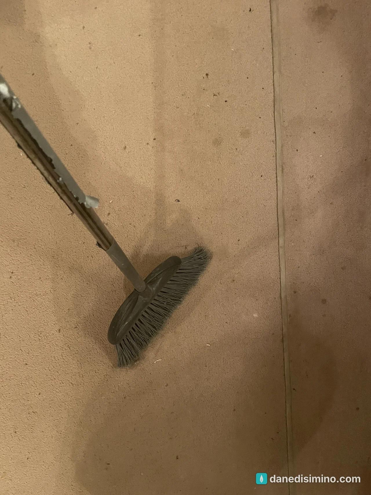
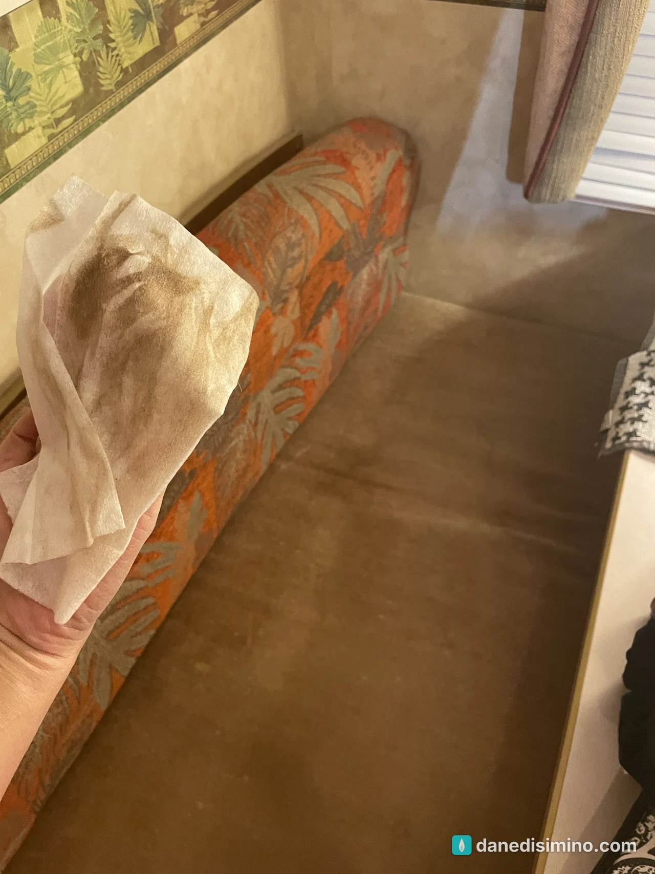
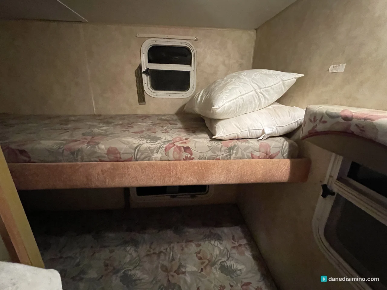
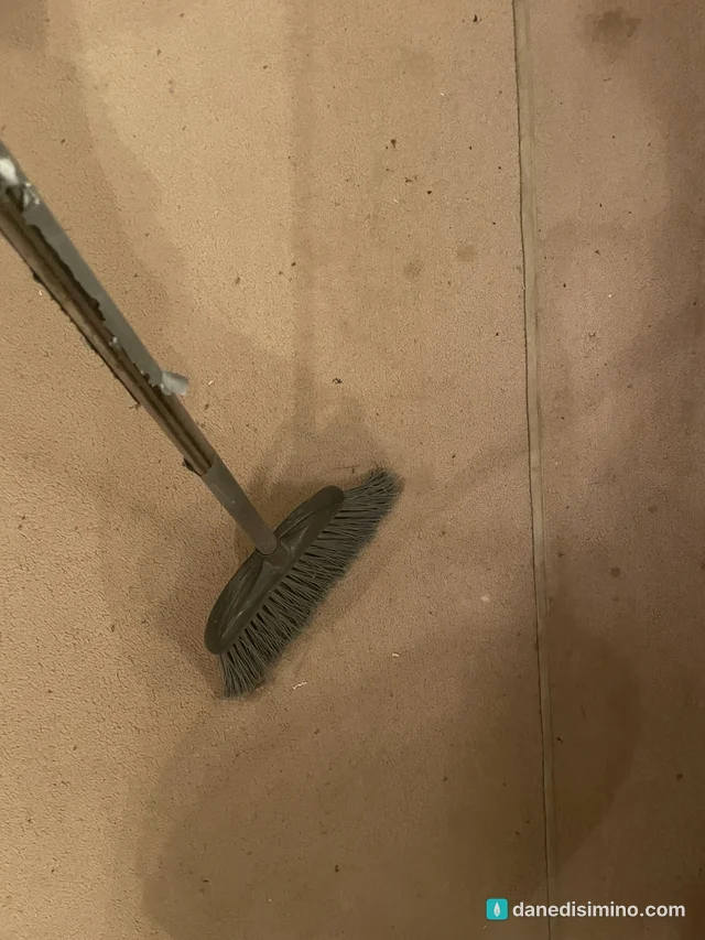
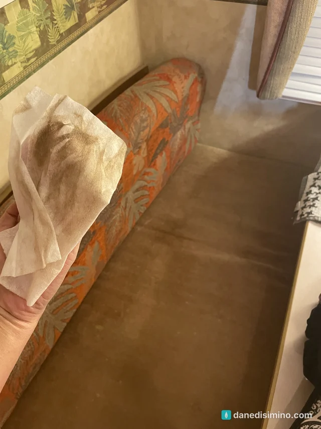
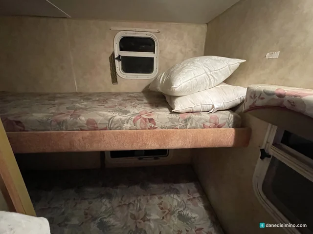
Our rental was a trailer out in the desert, and it was a disaster. It was hard to find. The solar power and the water both ran out. And it was filthy, with an inch of dirt on everything; we spent our first two hours cleaning before we could settle in. It was the first time I've ever reported a host.
We arrived on Thanksgiving night, and these are from our first hour inside. The proof:
Day one: rain on the Rio Grande
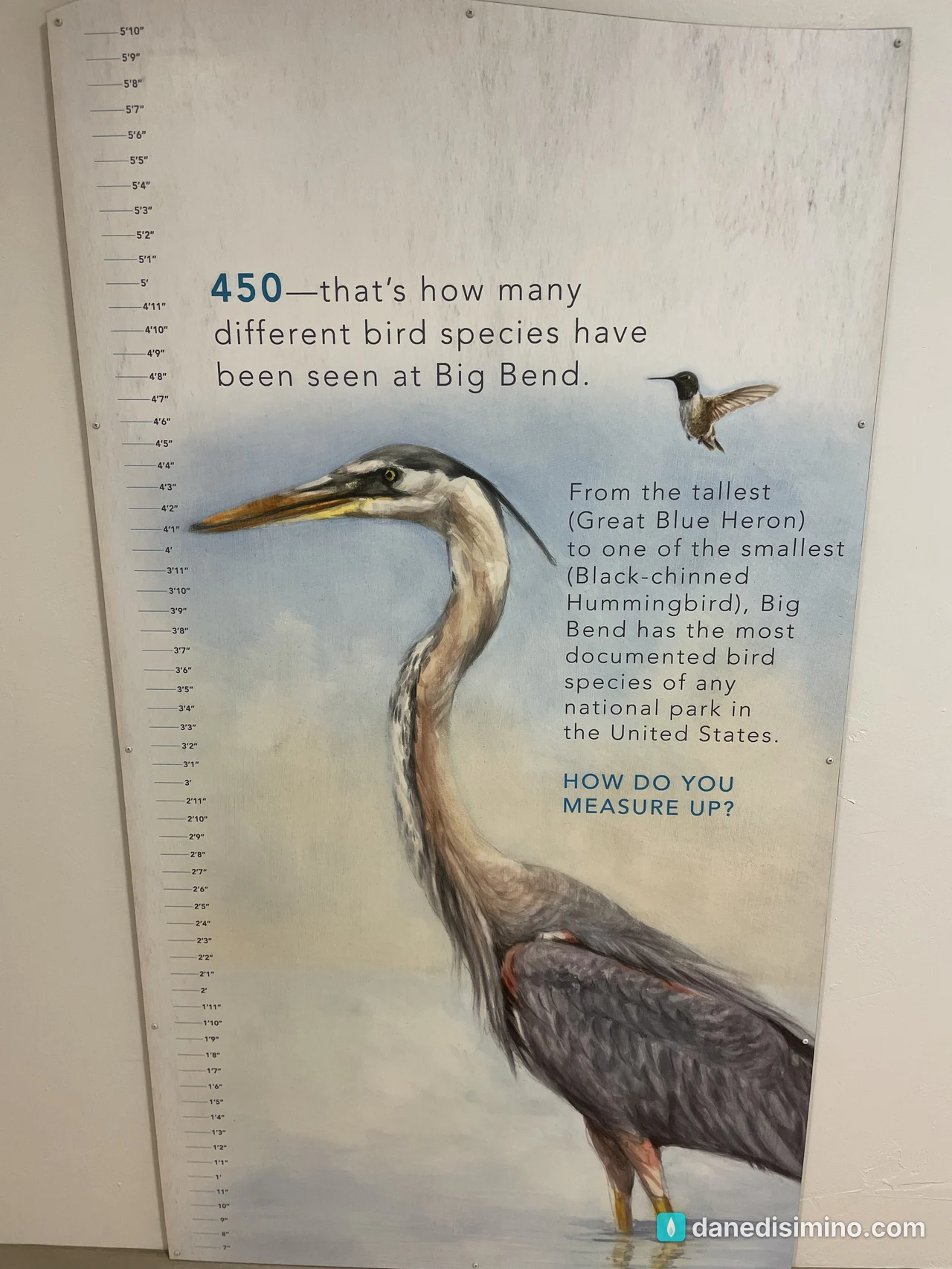
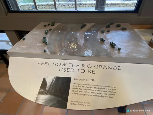
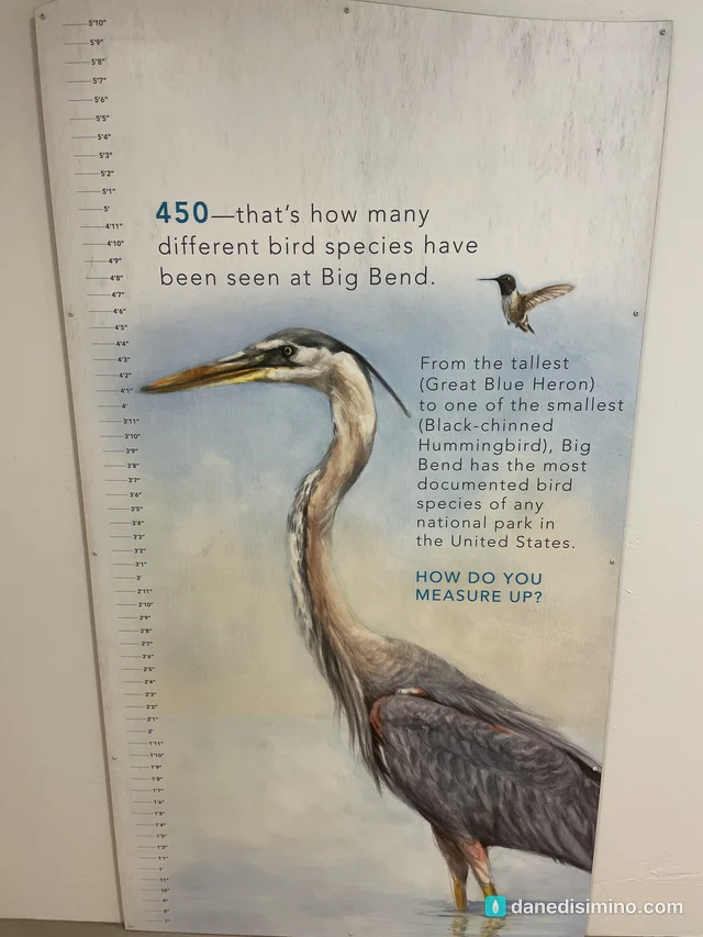
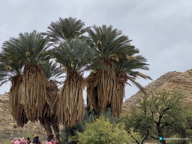
The first day was cold, about 45 degrees, with rain. We started at the Rio Grande Village Visitor Center on the east side of the park, and the exhibits were great. The big display is a three-dimensional model of the river showing how it ran in 1899: wide, fast and full of fish. Others explain why so many birds come here (more than 450 species have been recorded in the park) and how black bears came back on their own, crossing the river from Mexico in the 1980s after they'd been wiped out.
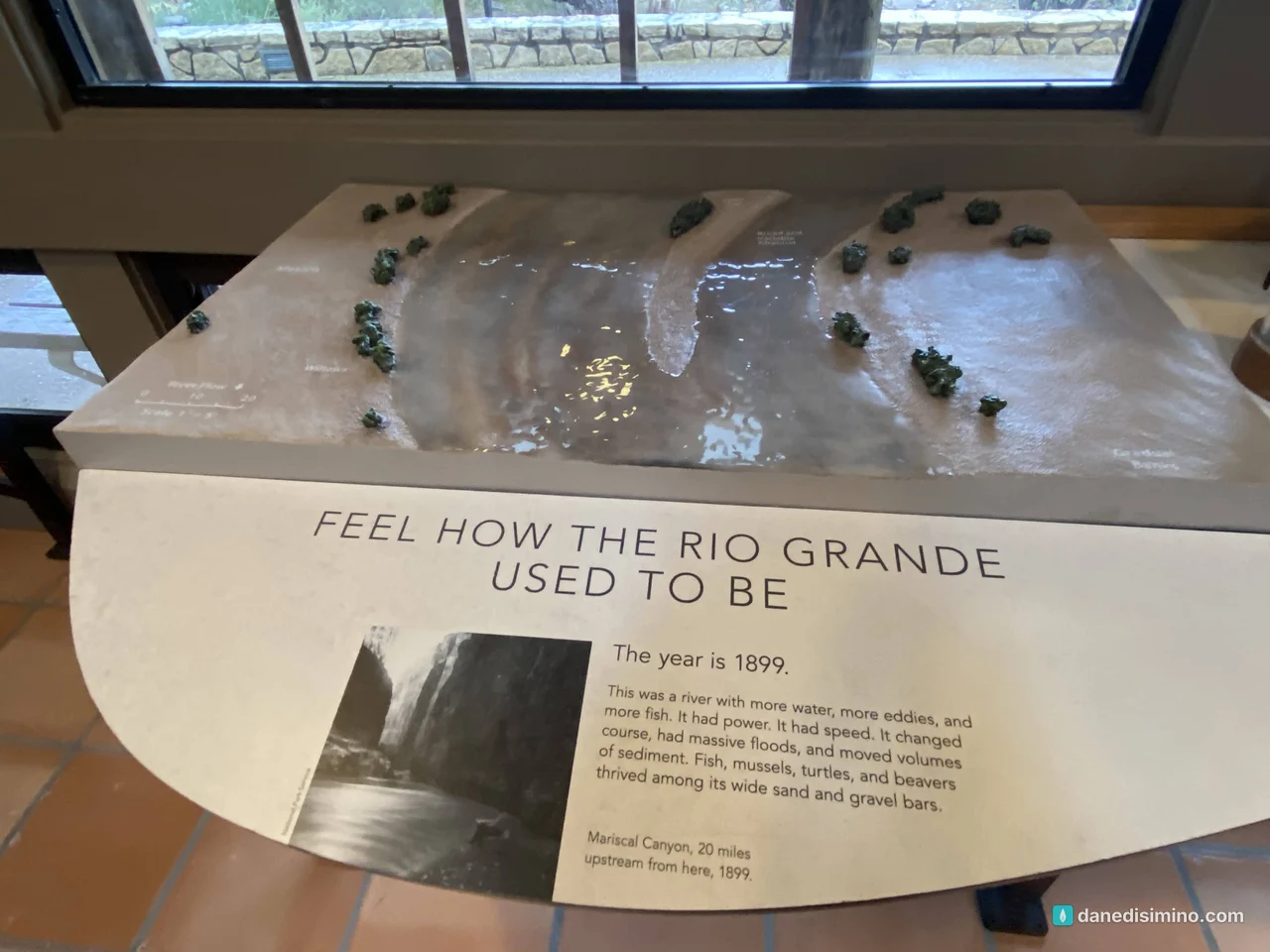
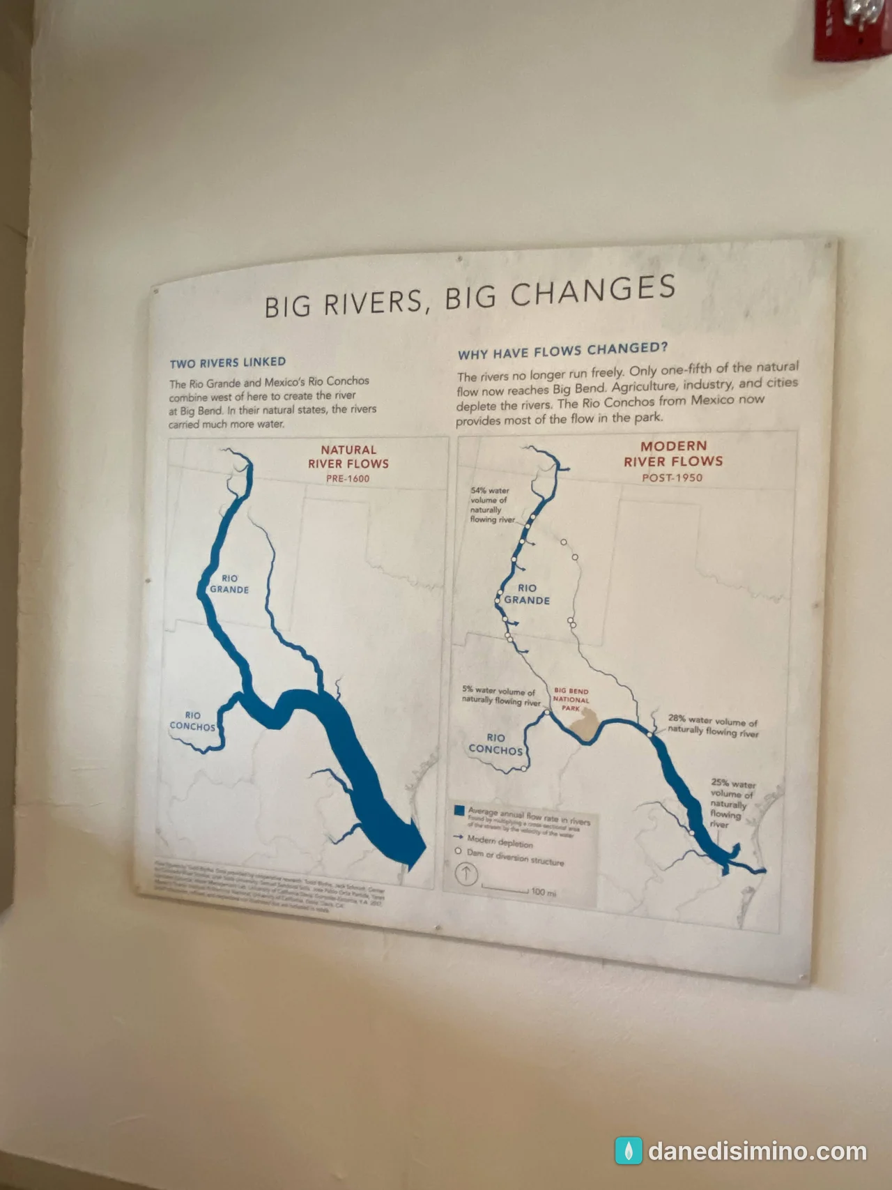
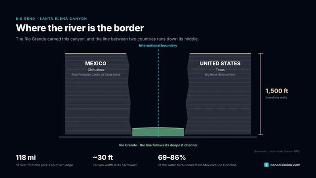
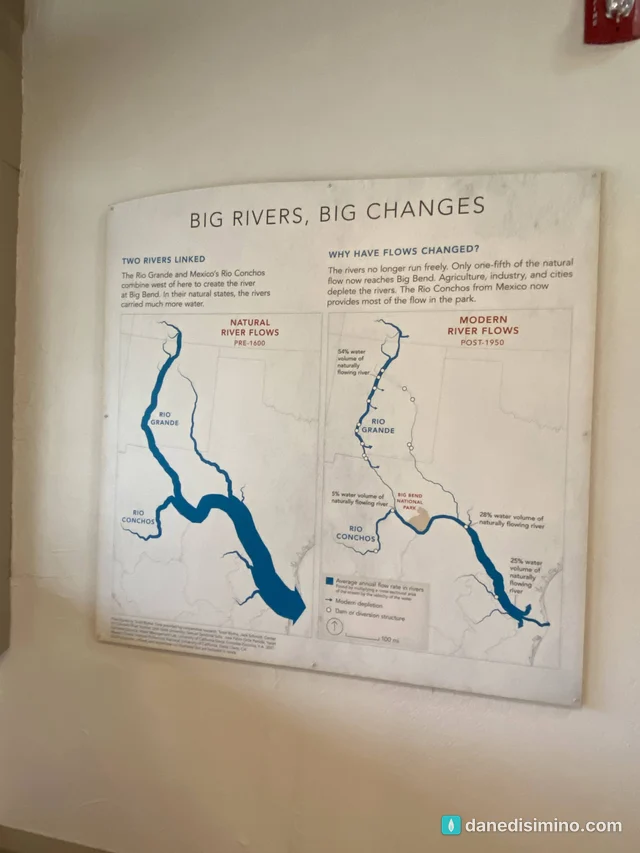
That exhibit stuck with me. The Rio Grande starts in the mountains of Colorado, but so much of it is diverted along the way that the riverbed between El Paso and Presidio is often dry. Most of the water flowing through Big Bend, 69 to 86 percent depending on the year, actually comes from Mexico's Río Conchos.
The hot springs, in the rain
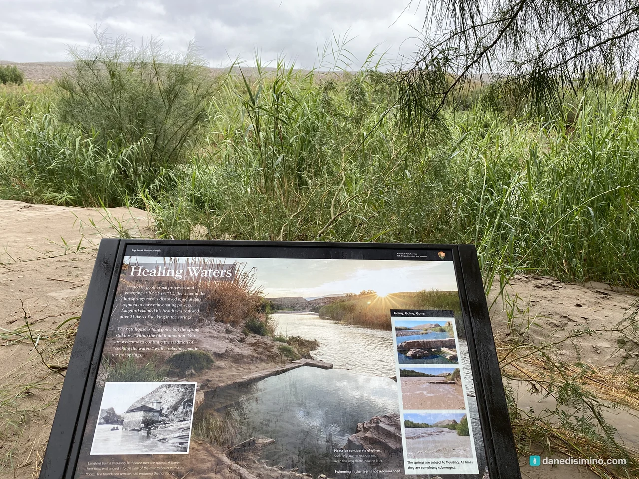
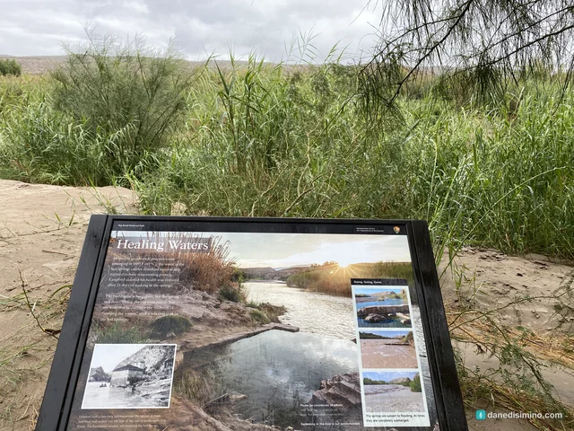
Then we went to Langford Hot Springs. On paper it's an easy outing: the Hot Springs Historic Trail is a one-mile loop past the old post office and motel, and the spring sits right on the bank of the Rio Grande. But unless you have a high-clearance vehicle, you park at a lot farther up the dirt road, which adds about a mile round trip. In 45-degree rain, it felt a lot longer than that. Carrie was not happy.
The spring itself is the stone foundation of J.O. Langford's old bathhouse, holding water that comes out of the ground at about 105°F. Langford claimed his health was restored after 21 days of soaking here. I lasted about five minutes. It was full of strangers, it was awkward, and then we walked back out in the rain.
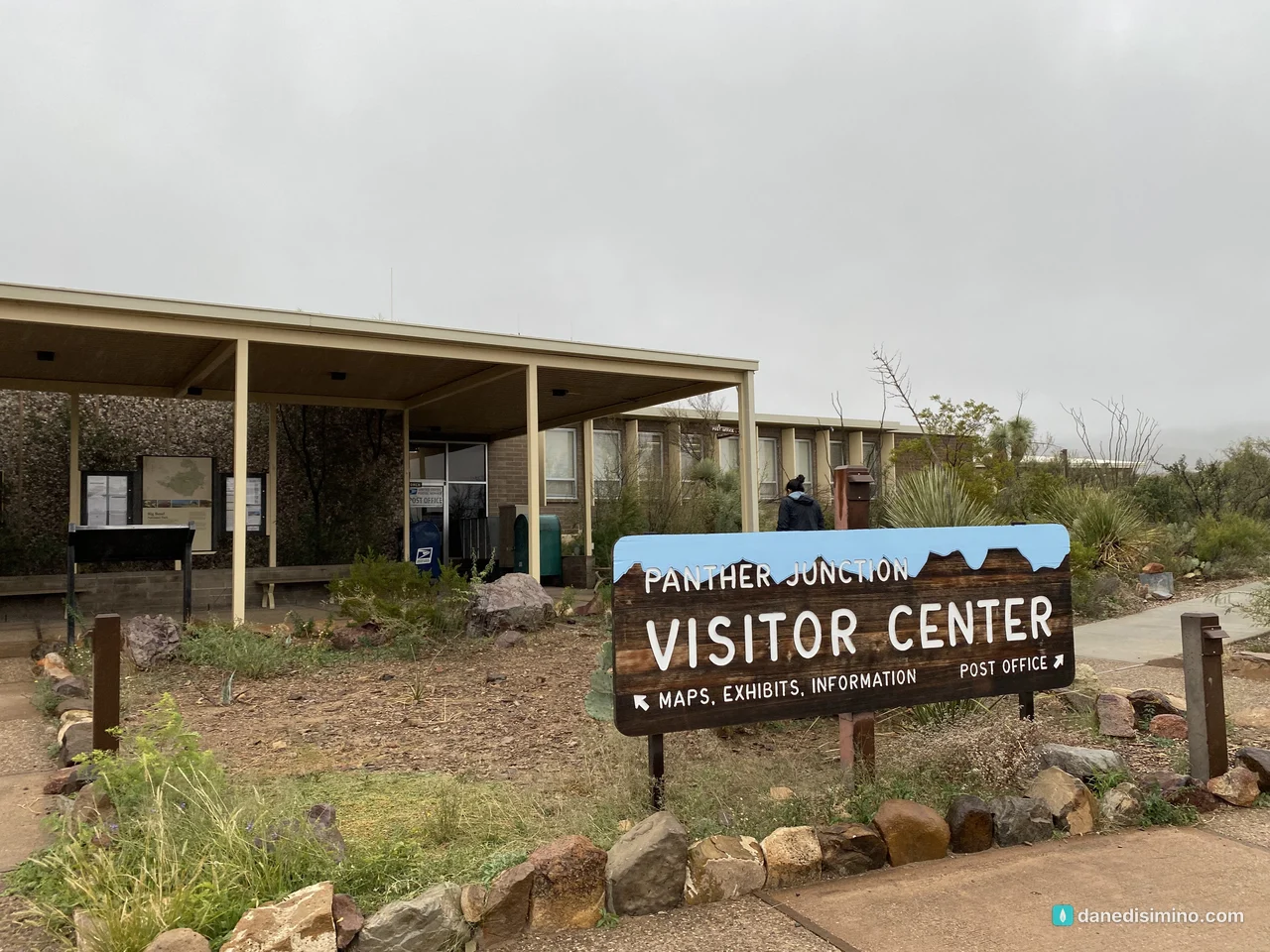
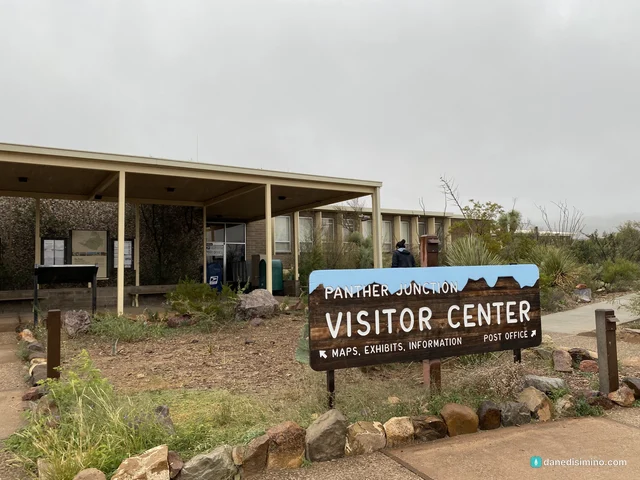
The visitor center at Panther Junction
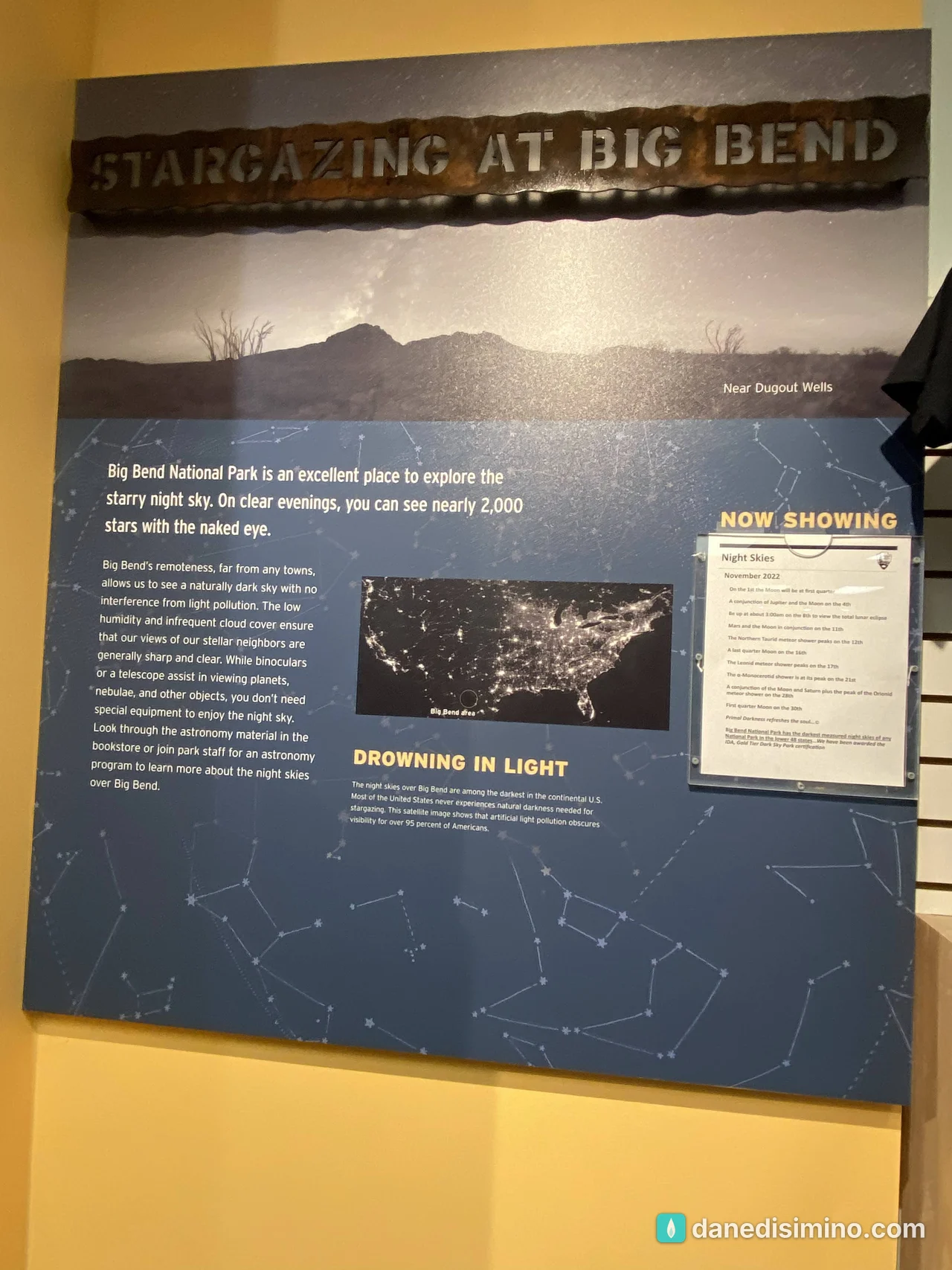
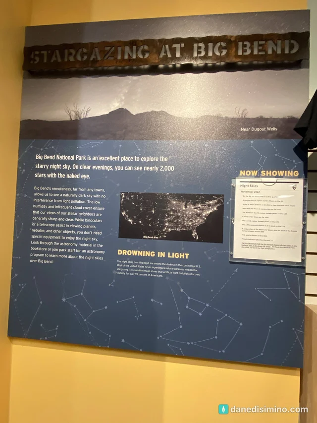
We dried off at Panther Junction, the park's main visitor center, in the middle of the park. One exhibit there is all about the night sky: on a clear night at Big Bend you can see nearly 2,000 stars with your naked eye. The park is an International Dark Sky Park at the highest Gold tier.
Then it snowed
On the drive back to the trailer that evening, it started snowing. In Big Bend, in the Chihuahuan Desert.
I found out later how unusual that is. The Park Service calls snow here "rare and generally light." At Panther Junction, the park headquarters, NOAA's 1991–2020 records show an average of less than half an inch a year and a measurable snow day only about once every five years. Ours came from what the National Weather Service in Midland called the Black Friday storm of November 25, 2022, an unusual storm track that buried the high country of west Texas and southeast New Mexico in snow. Only a handful of storms have taken a similar path.
The Chisos Mountains catch more snow than the desert floor, and every so often the park gets a big one. In the New Year's storm at the end of 2020, park staff reported 18 to 24 inches in the highest parts of the Chisos Basin, which the Weather Service called a once-in-a-lifetime event. We only saw flakes in the headlights. But snow in Big Bend, on the same day as a hot spring, is a story we still tell.
Day two: the Ross Maxwell Scenic Drive
The next morning the clouds were gone. The sunrise over the desert was gorgeous, and we headed for the west side of the park on the Ross Maxwell Scenic Drive, which winds about 30 miles down to Santa Elena Canyon.
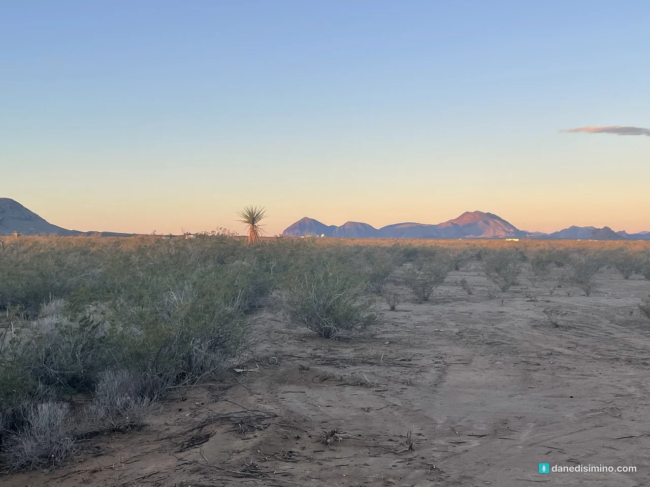
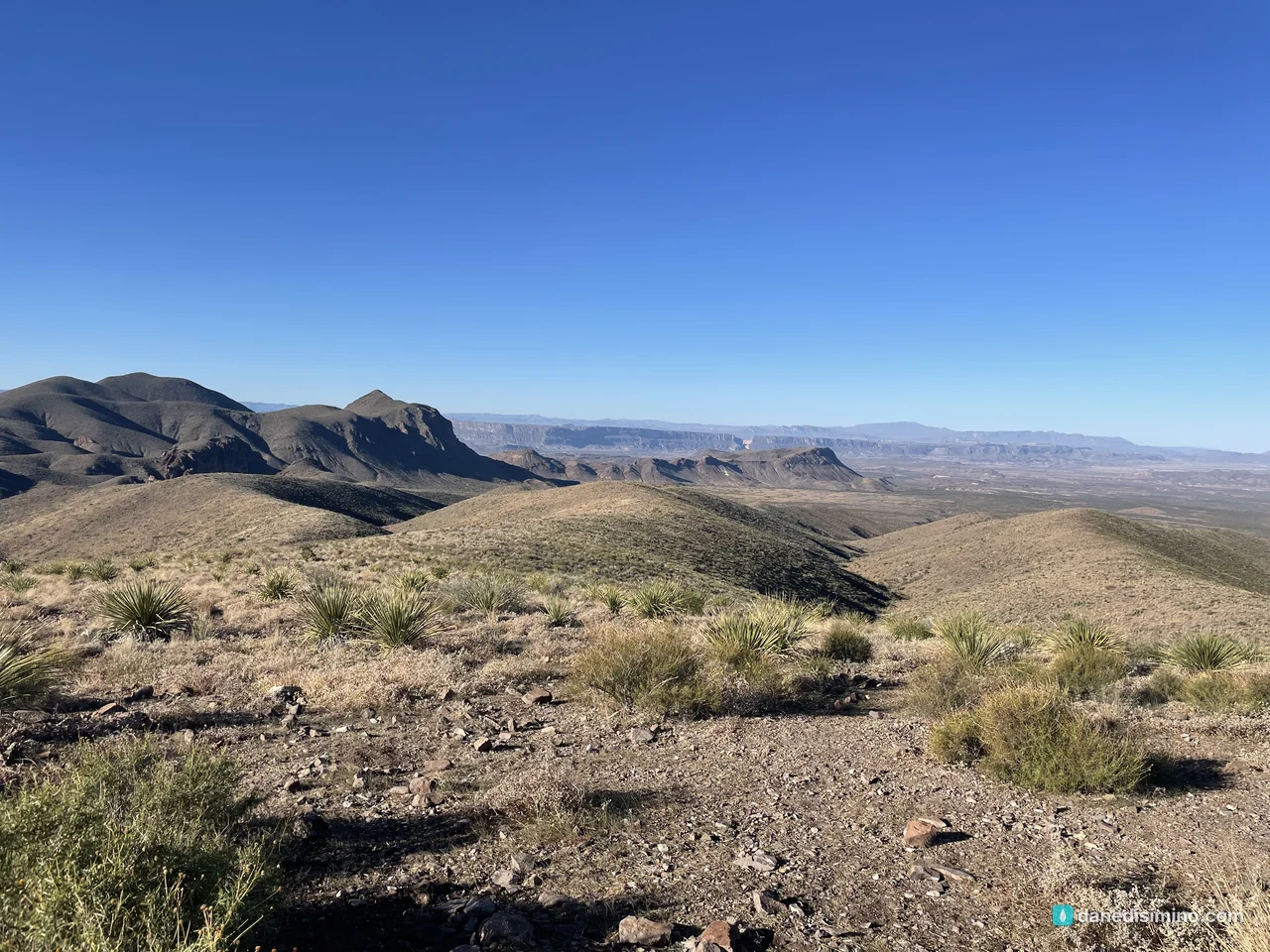
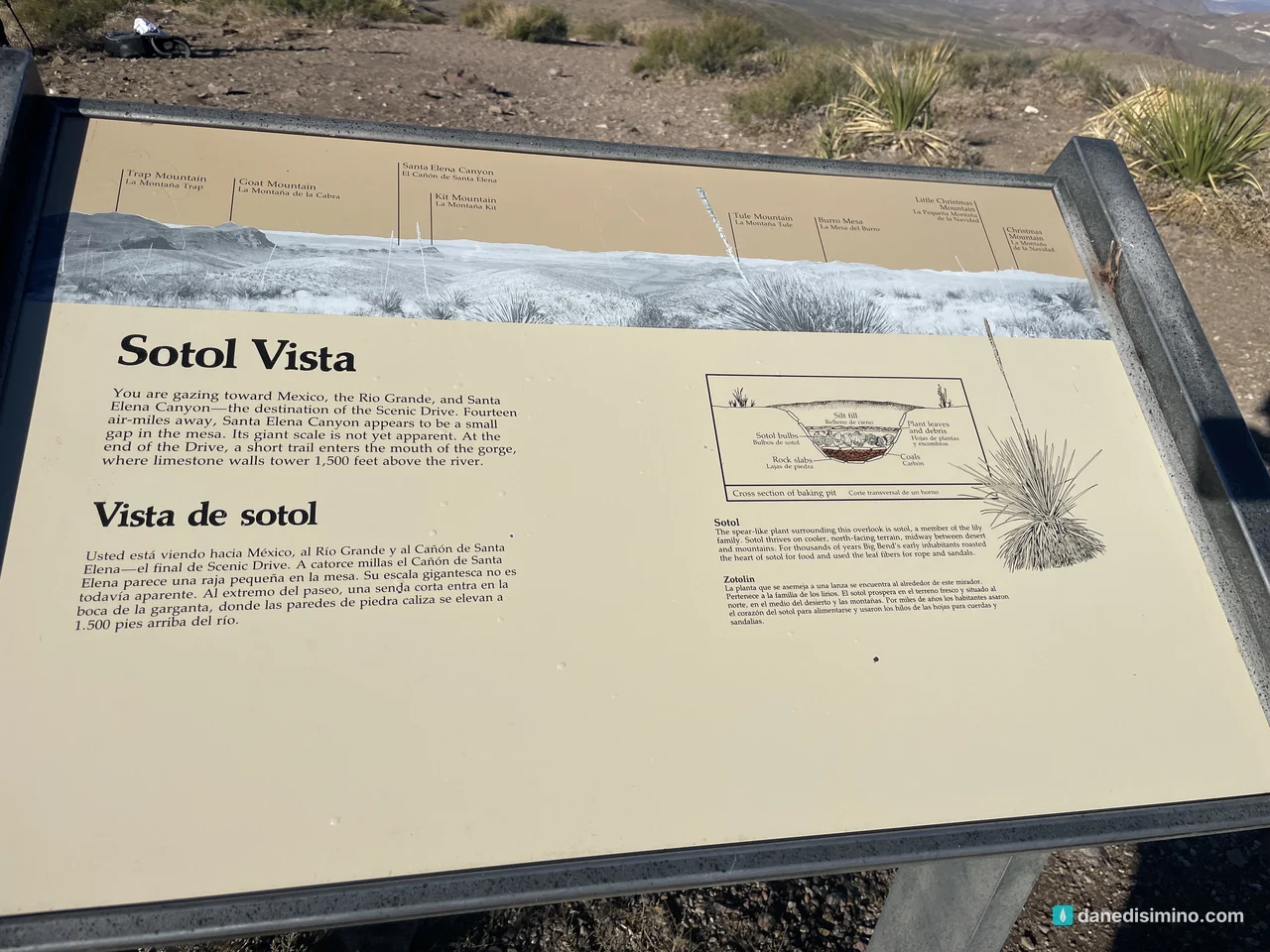
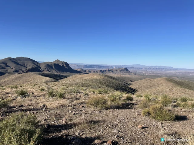
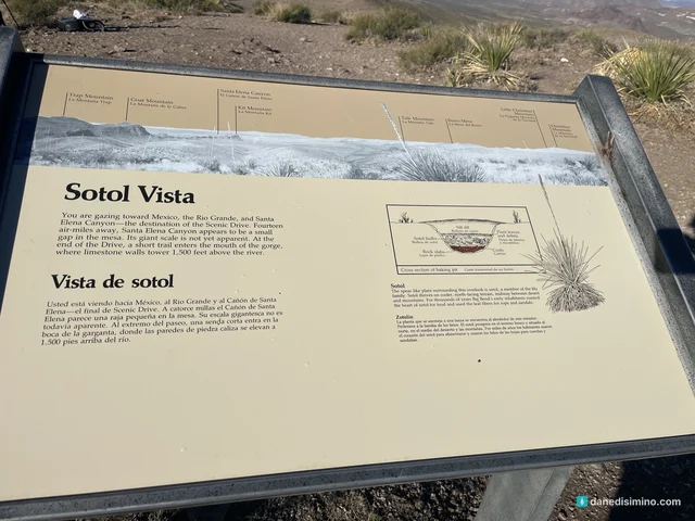
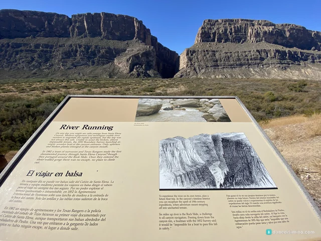
Stop at Sotol Vista. The whole western side of the park spreads out below you, and Santa Elena Canyon is the small notch in the distant cliffs, about 14 miles away as the crow flies. It's a great spot for sunrise, sunset or stars.
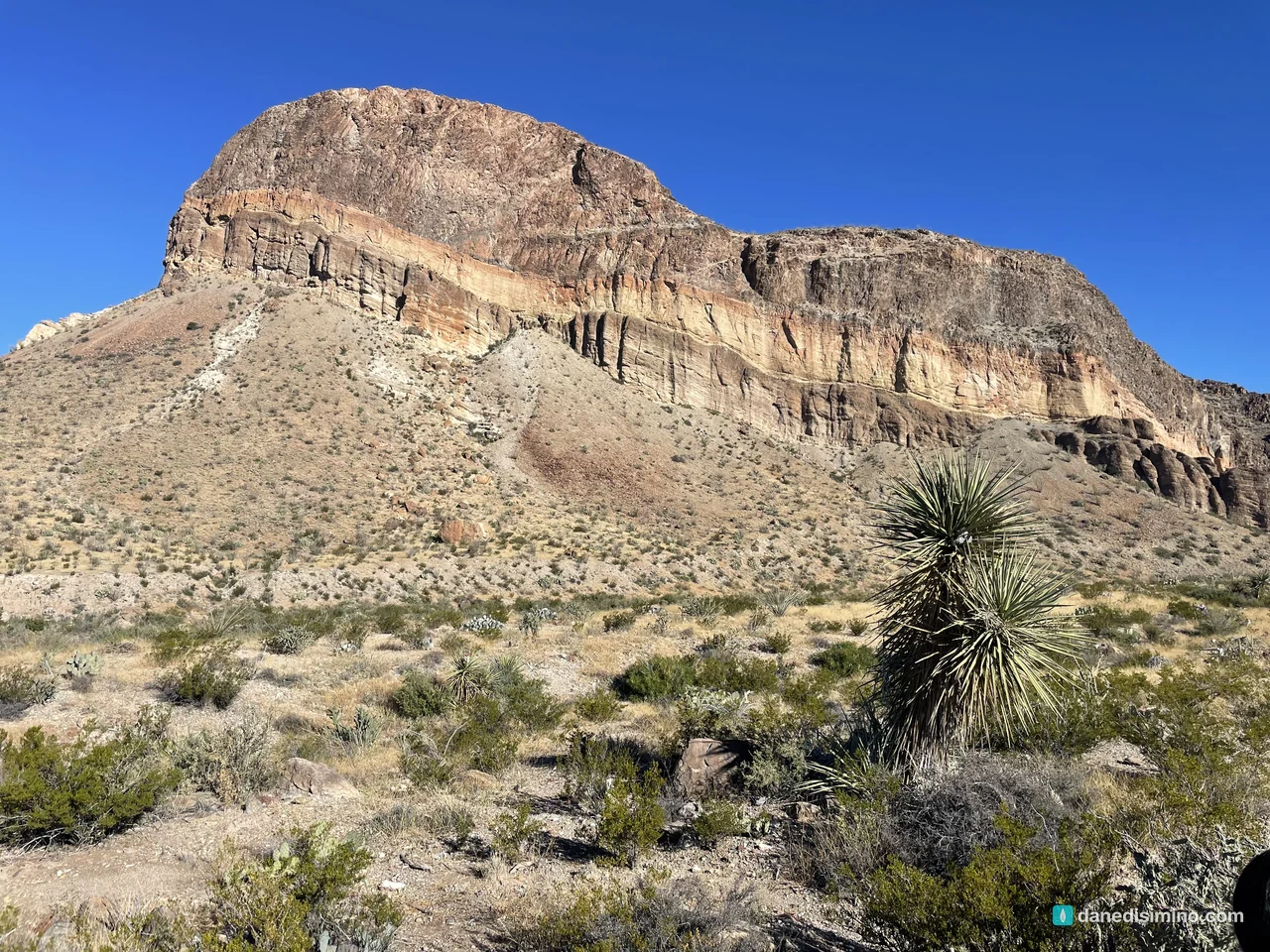
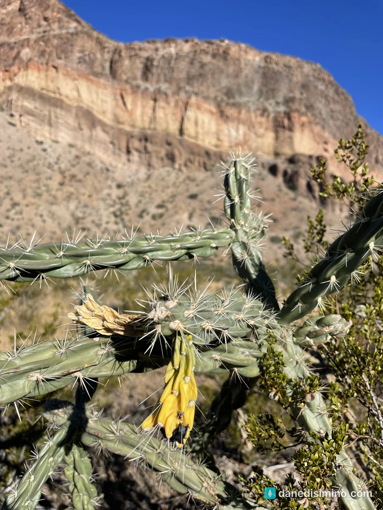
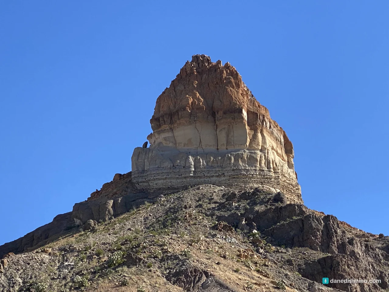
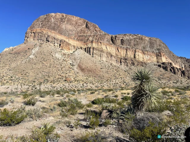
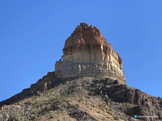
Farther down, Cerro Castellan rises over the road like a layer cake. Each band is a different eruption: lava flows and volcanic ash stacked over millions of years, with gravel and clay in between from the quiet times.
Santa Elena Canyon
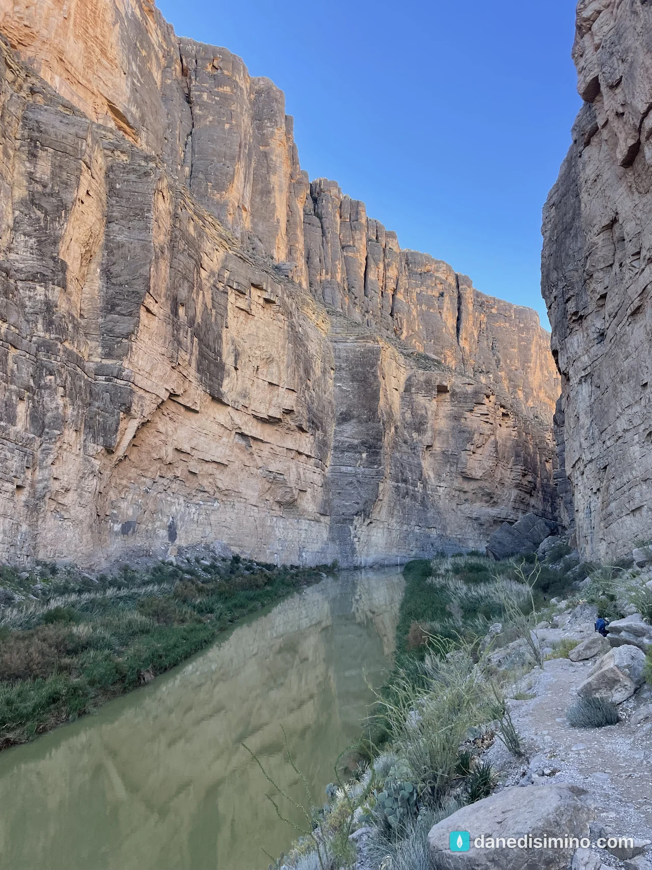
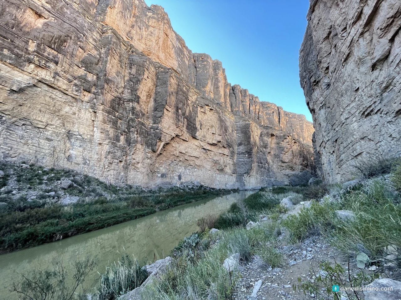
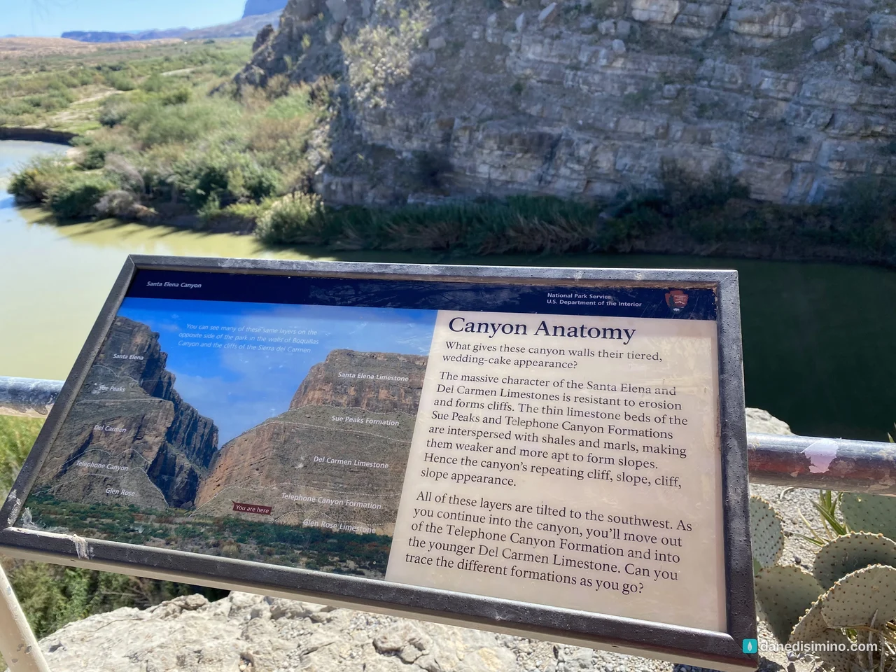
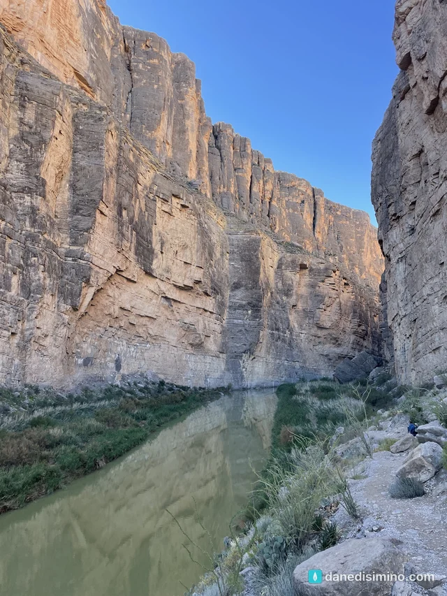
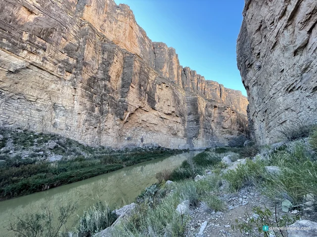
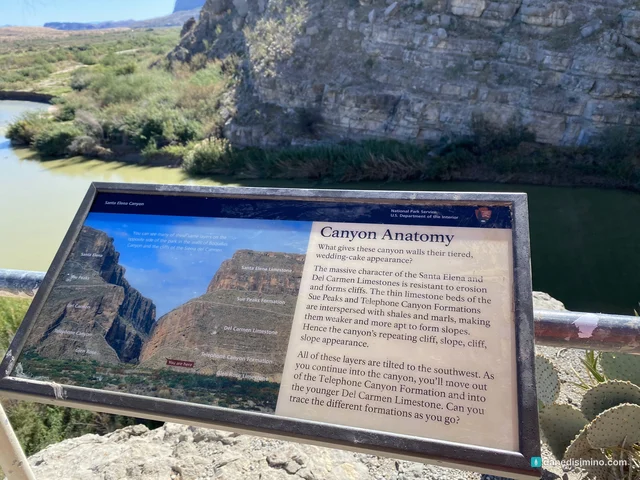
This was the highlight of the trip. From the overlook, Santa Elena looks like someone sliced a mesa in half with a knife. The Rio Grande has cut a canyon 1,500 feet deep through solid limestone, as narrow as 30 feet in places.
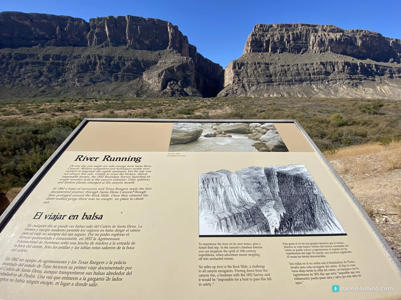
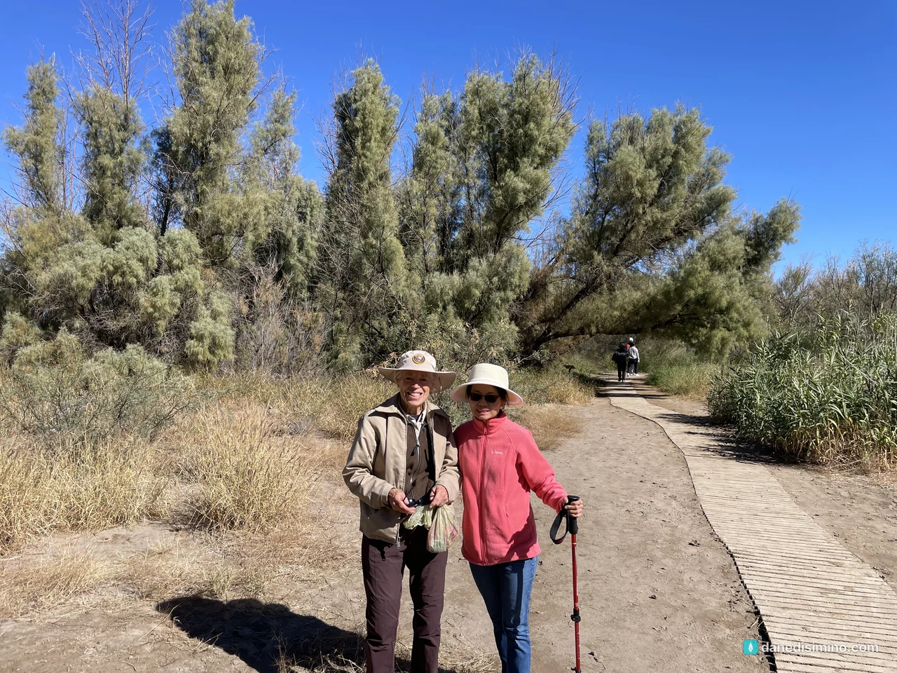
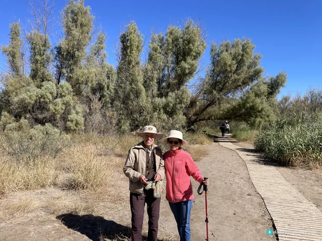
The trail starts at the end of the road. You cross the bed of Terlingua Creek, which can be muddy or wet, climb a short set of switchbacks, then walk into the canyon along the river until the trail ends at the canyon wall. It's 1.6 miles round trip, 80 feet of climbing, and about an hour. It's one of the prettiest short hikes in any park.
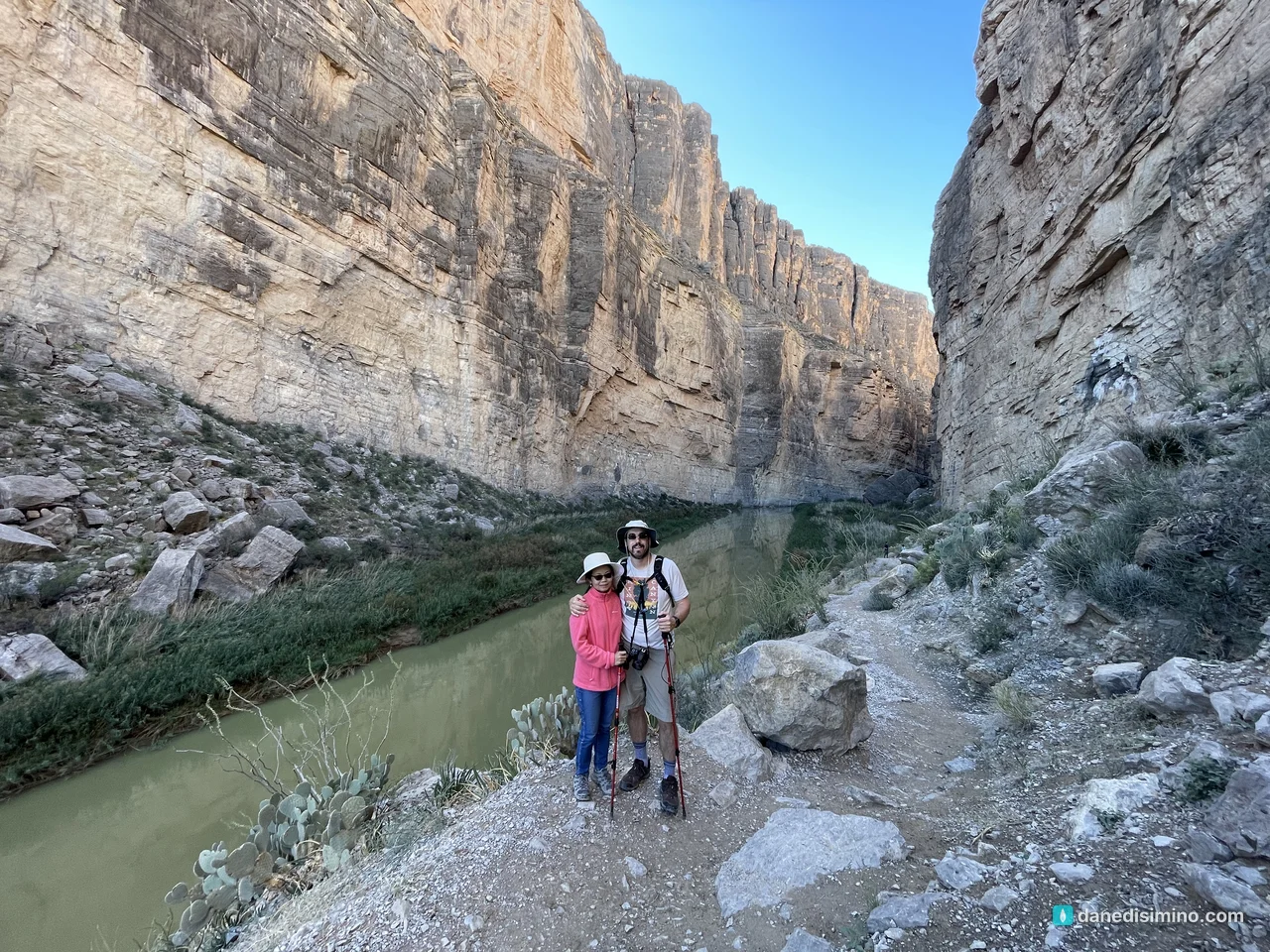
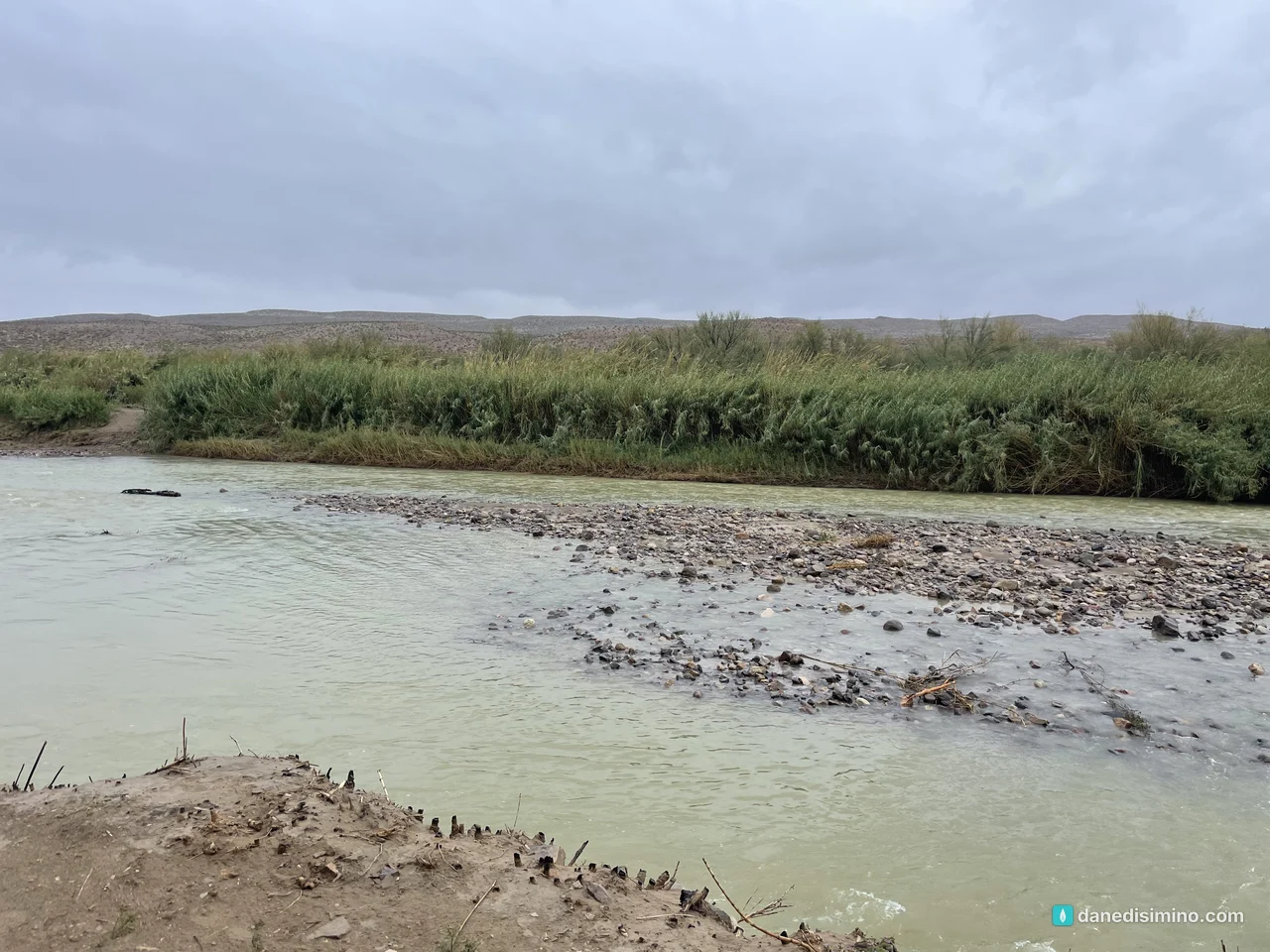
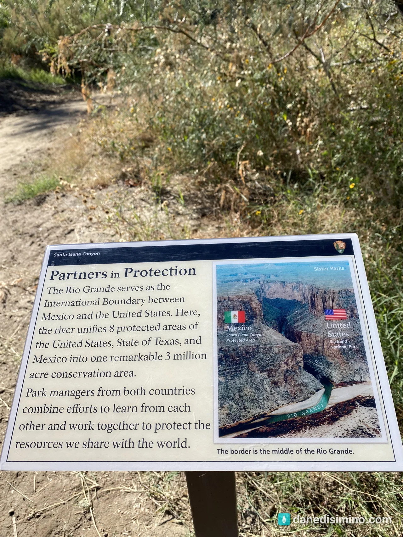
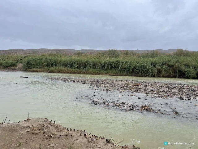
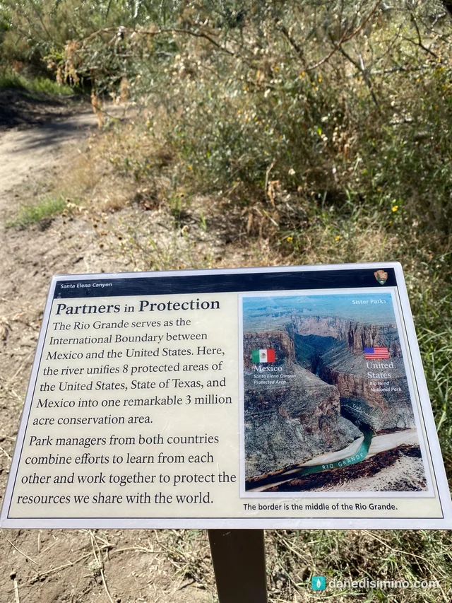
And the river is green. I didn't expect it, and it was special. The trail signs explain what you're looking at: the border runs down the deepest channel of the river, and the far wall belongs to Mexico's Cañón de Santa Elena protected area. The two countries manage the river and canyons together.
The Chisos Basin
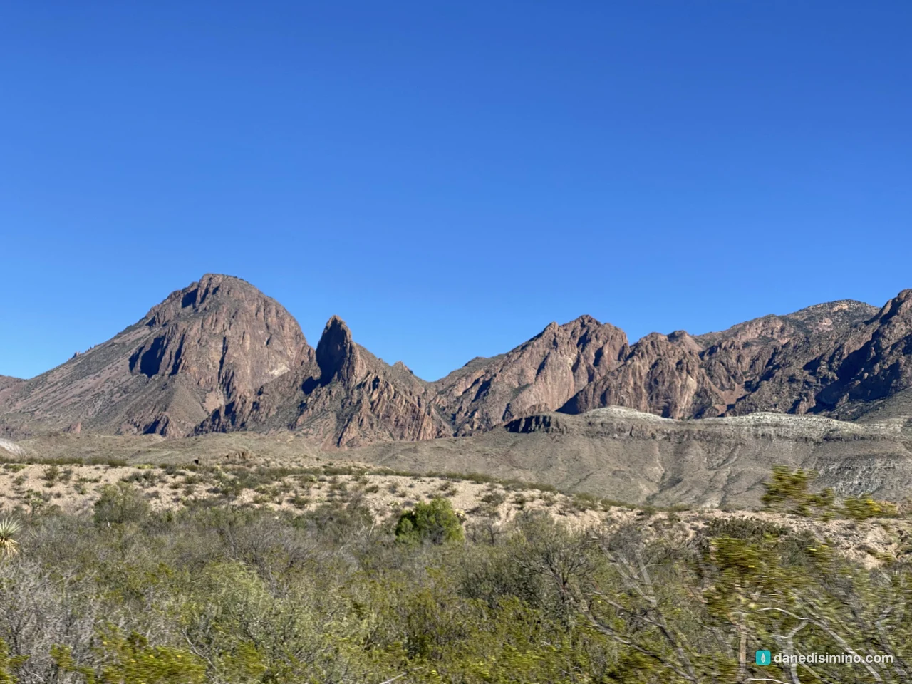
In the afternoon we drove up into the Chisos Mountains. The road climbs 2,000 feet out of the desert into oaks, junipers and pines, and the air turns cool. The basin is the trailhead for the Window Trail and a good place to watch the light change.
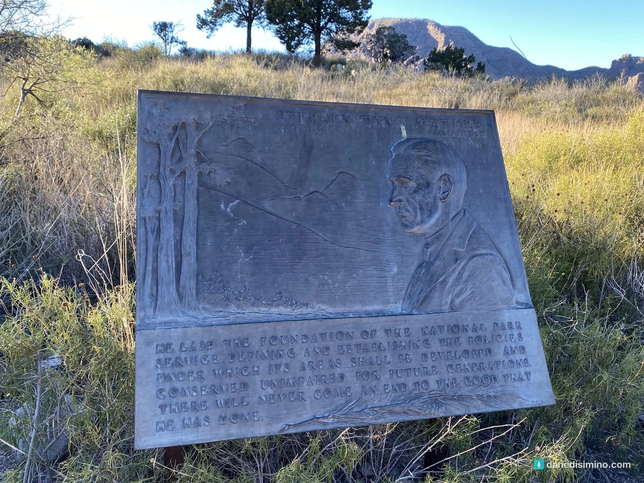
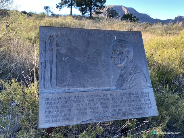
Near the trailheads there's a bronze plaque to Stephen Mather, the first director of the National Park Service. It ends with a line I liked: "There will never come an end to the good that he has done."
The sunset
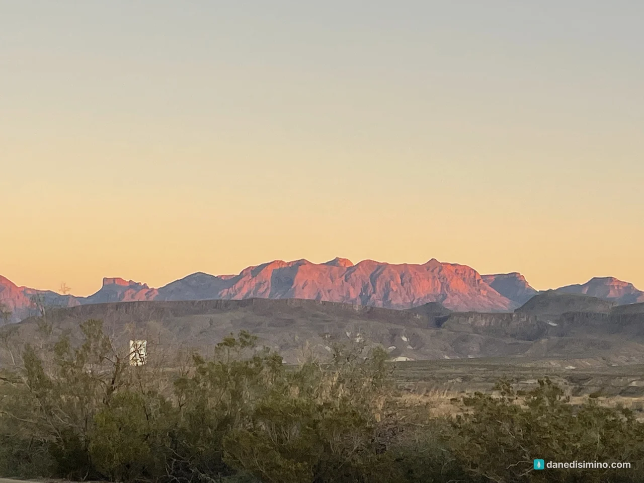
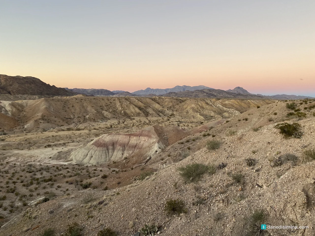
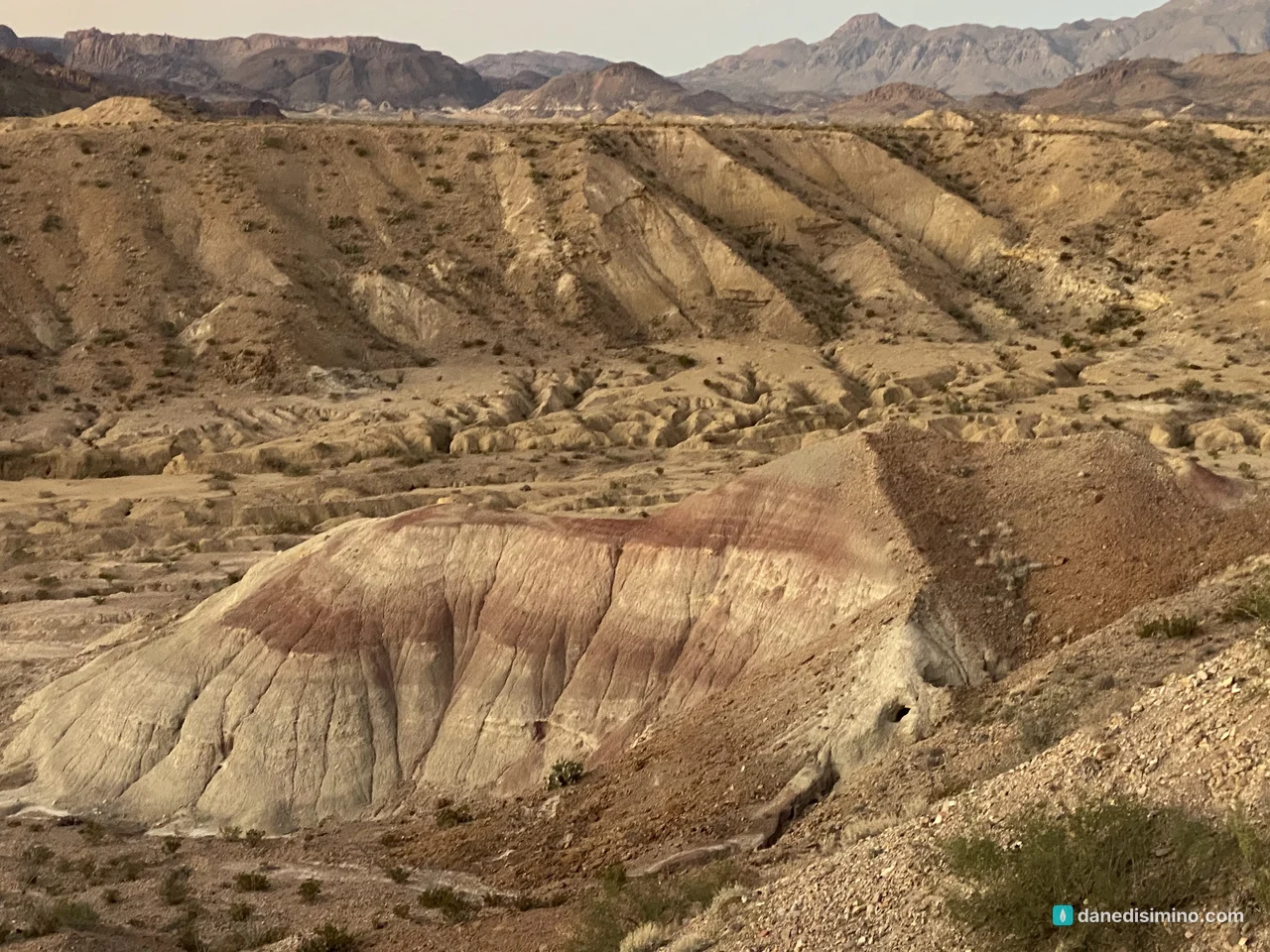
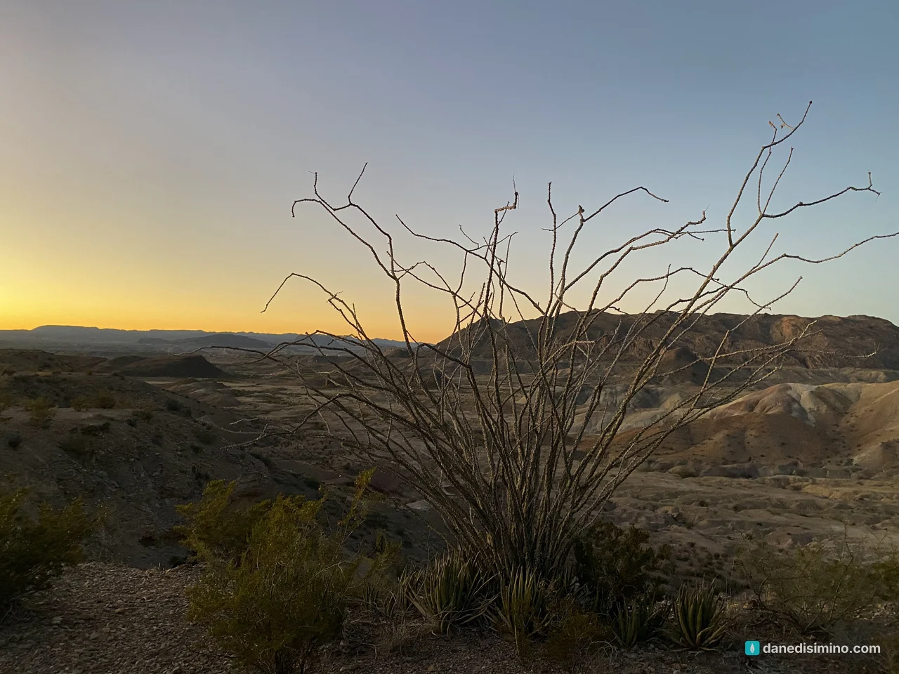
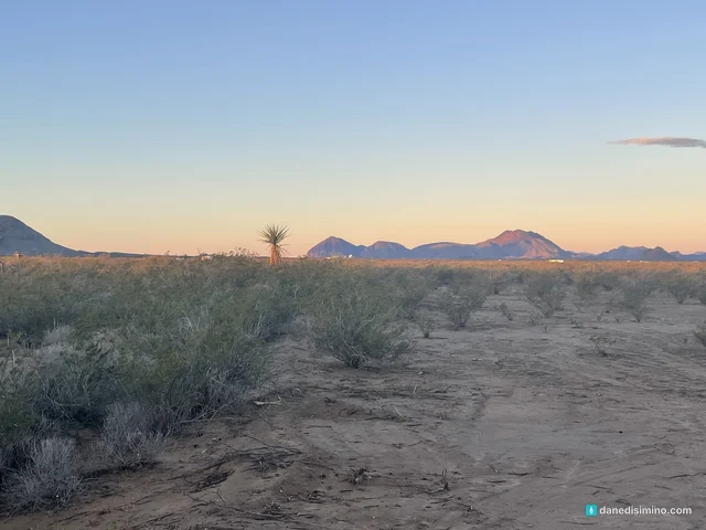
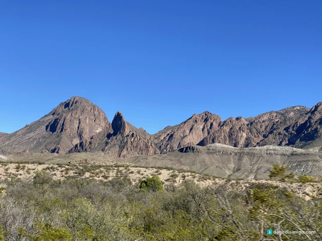
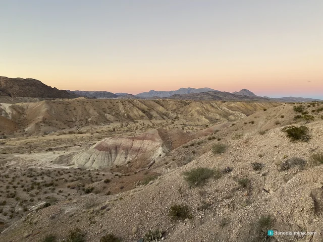
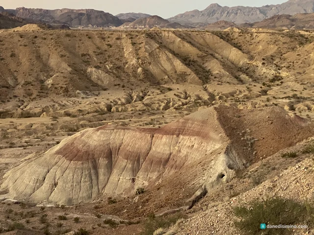
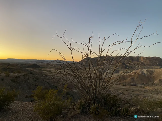
That evening was one of my top two or three sunsets ever. The sky over the desert went soft gold, and then the whole wall of the Chisos Mountains caught the last light and glowed orange, like something lit from inside. In front of us, the badlands turned red and purple and gold.
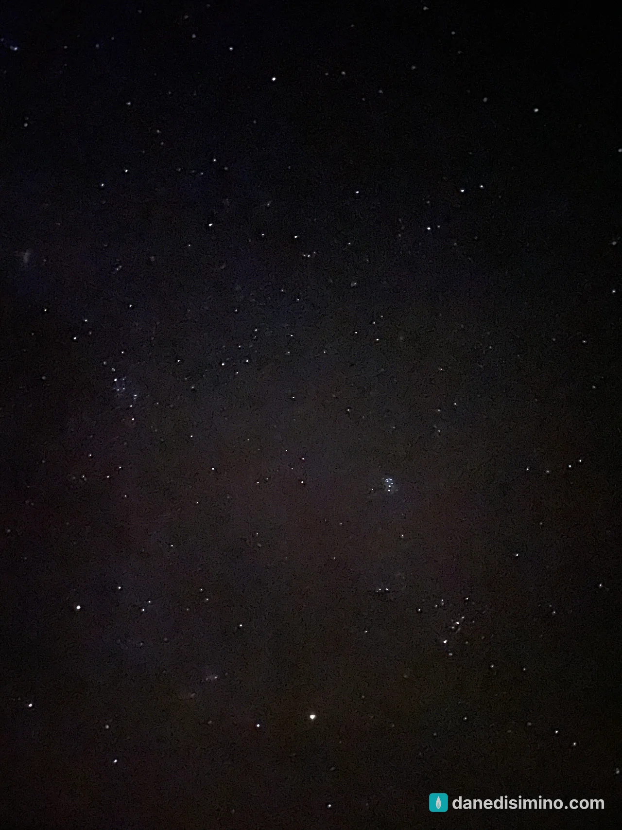
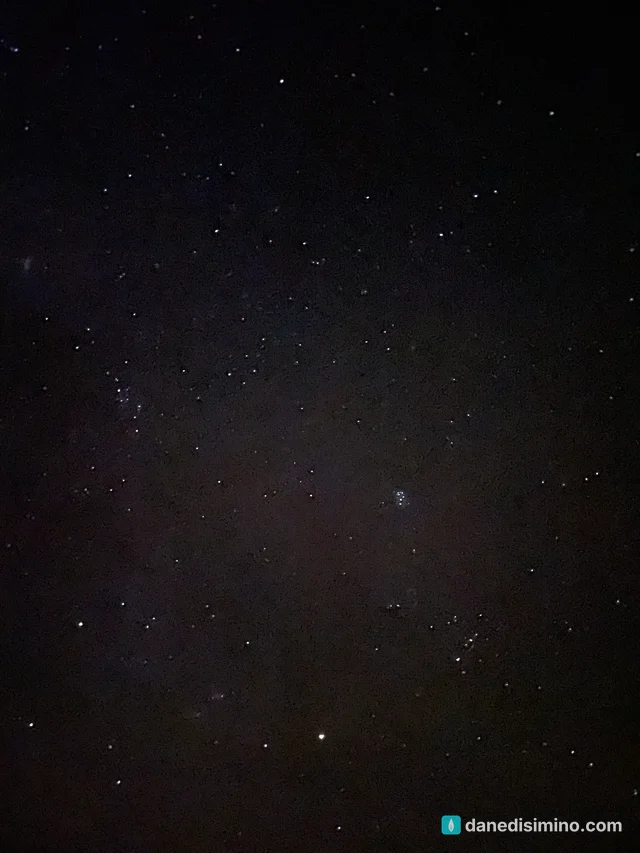
After dark, the stars came out by the thousands. Even my phone caught some of it: look for the Pleiades, the tight little cluster of blue stars just right of center. This is what the Gold-tier dark sky looks like.
What I'd do differently
Book better lodging. Stay at the Chisos Mountains Lodge, a park campground, or a well-reviewed rental, and confirm the power and water.
Hit the hot springs on a warm day. Save it for good weather and go early.
Hike the Window Trail. It's 5.5 miles round trip from the Chisos Basin trailhead, down through Oak Creek Canyon to a pour-off that frames the desert.
Walk Boquillas Canyon too. It's 1.5 miles round trip into another of the park's great river canyons, on the east side.
Give it three or four days. The park is huge, and the drives between the river, desert and mountains take time.
What Big Bend taught me
Big Bend taught me not to judge a trip by its first day. We started in a filthy trailer, a cold rain and even snow, and I was ready to write the whole thing off. The next morning the sun came up over a clean, clear desert, and by sundown we'd had one of the best days of our lives.
"The faithful love of the LORD never ends! His mercies never cease. Great is his faithfulness; his mercies begin afresh each morning." (Lamentations 3:22–23, NLT)
The rain ends. The mercy doesn't.
Questions?
Ask me anything about Big Bend: where to stay, Santa Elena Canyon, the hot springs, or how to plan the long drive. I answer every question.
Photos
Sources
- Big Bend National Park (NPS)
- Big Bend fact sheet (NPS)
- The Rio Grande (NPS)
- Santa Elena Canyon Overlook (NPS)
- Santa Elena Canyon Trail (NPS)
- Langford Hot Springs (NPS)
- Hot Springs Historic Trail (NPS)
- Sotol Vista (NPS)
- Cerro Castellan Exhibit (NPS)
- Lodging (NPS)
- Fees and passes (NPS)
- Weather (NPS)
- Black Friday storm, November 25, 2022 (NWS Midland)
- Historic New Year's snowstorm, 2020 (NWS Midland)
- Stories in Stone: geology (NPS)
- Fossils (NPS)
- Texas' Gift to the Nation (NPS)
Pathlight
Park guides from the road. A printable trip sheet comes with them when one is ready.