
NATIONAL PARKS
Canyonlands
A Field Guide
On this page
A hot September day trip to the Needles District from Mesa Verde country: the red-rock drive in on Utah 211, a cowboy camp and ancient rock art on the Cave Spring Trail, and Newspaper Rock's 2,000 years of petroglyphs. How to beat the heat, and why it's the second half of a Mesa Verde trip.
Version 1.1 · Updated Nov 17, 2026
Map
When to go
Average monthly visits, 2023–2025. Source: NPS visitor statistics. ● marks the months we visited.
| January | 7,828 |
|---|---|
| February | 15,843 |
| March | 74,799 |
| April | 105,982 |
| May | 120,039 |
| June | 89,336 |
| July | 69,905 |
| August | 63,706 |
| September | 102,053 |
| October | 95,187 |
| November | 39,983 |
| December | 20,296 |
Canyonlands should be the second half of a Mesa Verde trip. Mesa Verde has the history; Canyonlands has the scenery. We drove over from our campground in Cortez for a day trip in September 2020, the day after Mesa Verde.
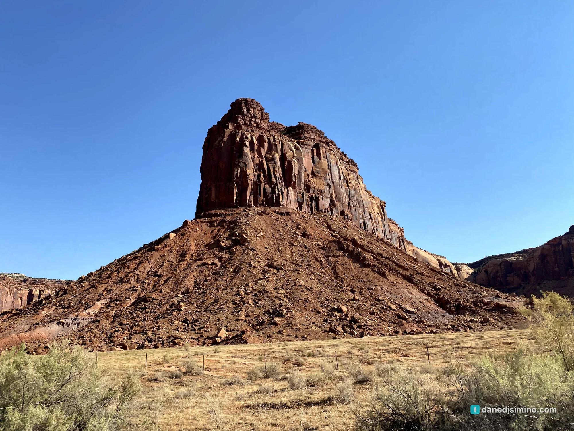
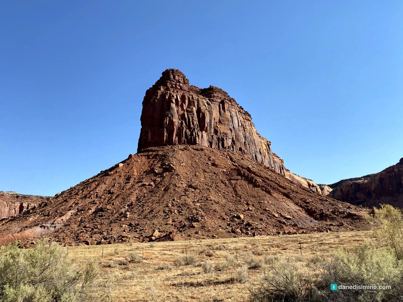
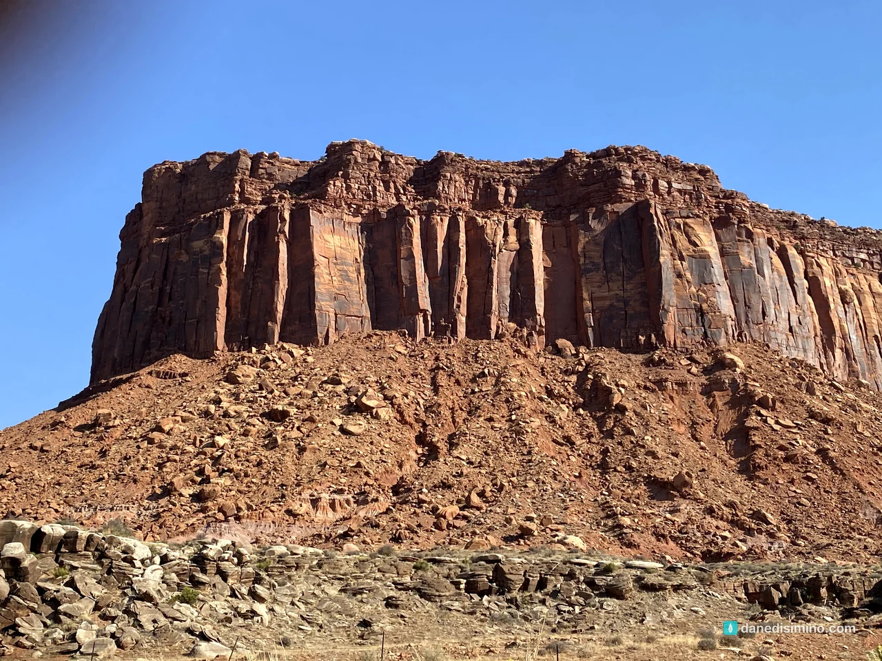
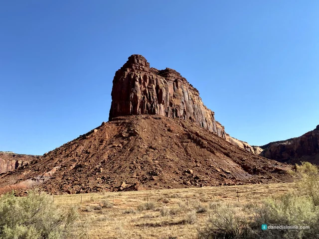
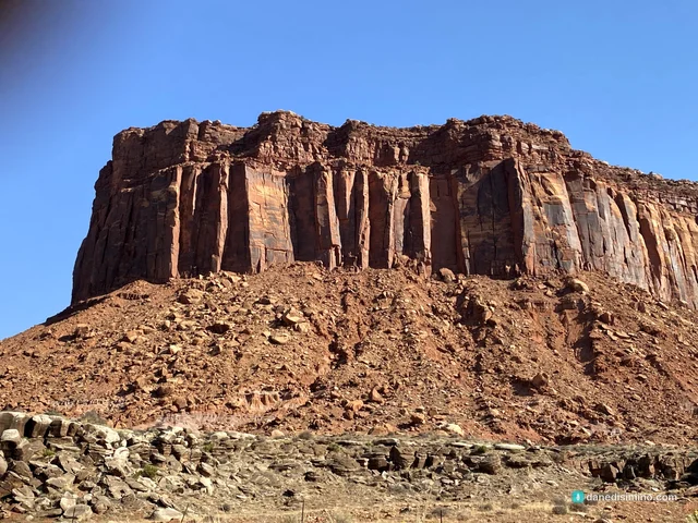
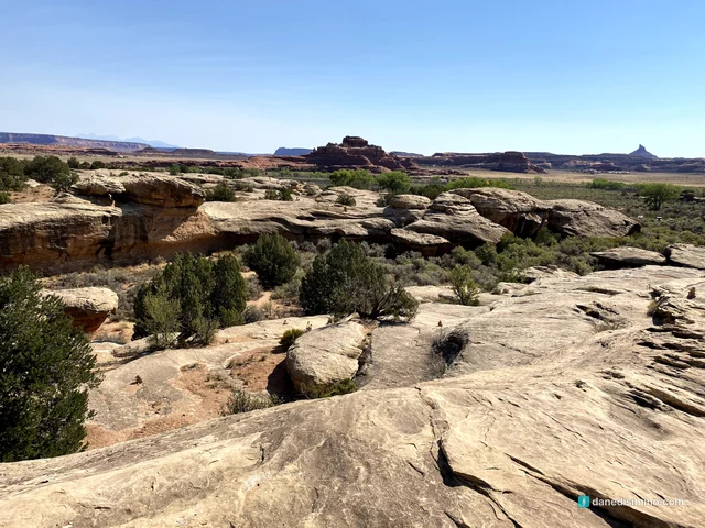
It's remarkable country. A lot of it looks like a scene from a 1950s or '60s western: mesas, buttes and spires of red sandstone that seem built for a camera crew. And some of it just looks like Mars.
One warning up front: the heat. I'll never forget stepping out of the car into it. It limited how much we could hike, and we got to the trails later in the day than we should have. Plan around it.
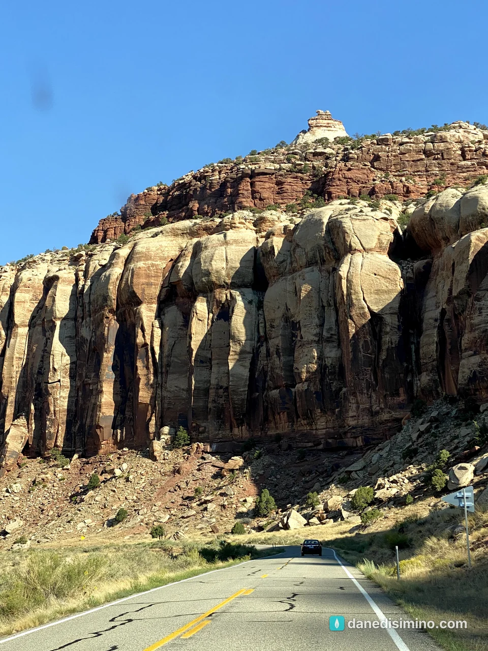
It looked like a western. It felt like Mars. And it was hot.
The short version
Pair it with Mesa Verde. The Needles District is about two hours from Cortez. Do Mesa Verde one day and Canyonlands the next, or fold it into a bigger Utah trip.
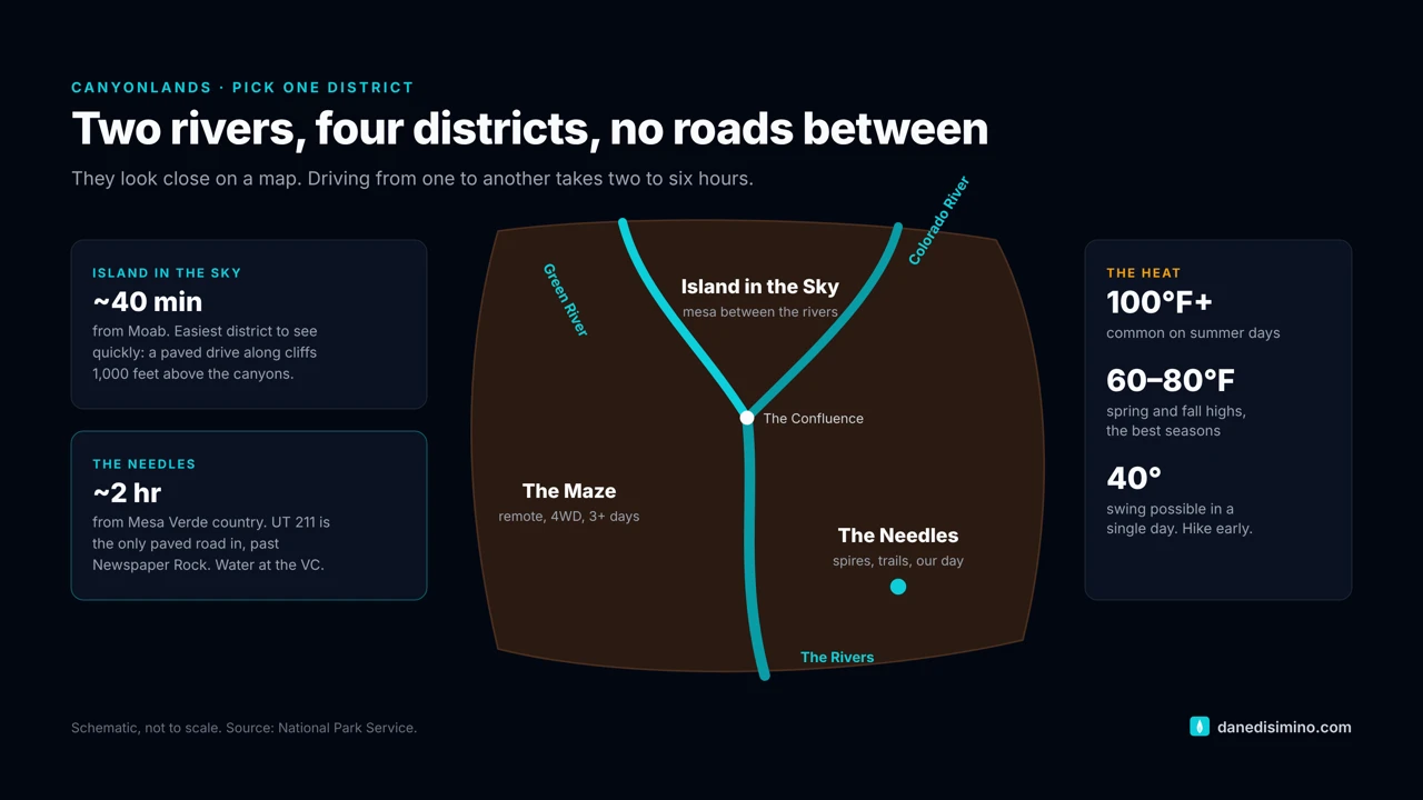
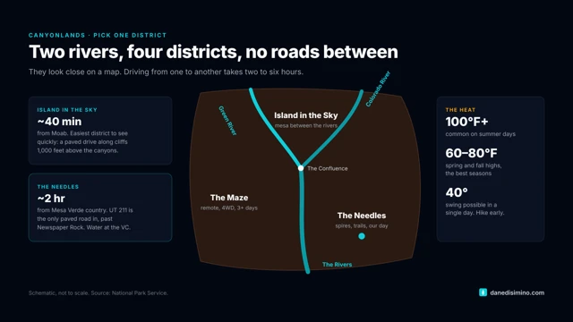
Pick one district. Canyonlands is split into four districts by the Green and Colorado rivers, and no roads connect them inside the park.
Hike early. Summer days often top 100°F. Be on the trail at sunrise and off it by late morning.
Carry more water than you think. The Needles Visitor Center has water year-round. There's almost none anywhere else.
Stop at Newspaper Rock. It's on the road in: 2,000 years of rock carvings on one cliff face.
The park at a glance
- 4
- Districts, split by two rivers
- 100°F+
- Common on summer days
- 35 mi
- Utah 211 from US 191 to the Needles
- $30
- Per vehicle at the gate
Where: southeast Utah. The Needles is reached on US 191, 40 miles south of Moab or 14 miles north of Monticello, then about 35 miles west on Utah 211, the only paved road in.
Entrance fee: $30 per vehicle, good for seven days. Pay by card at the entrance station.
When: May is the busiest month and January the quietest. Spring and fall highs average 60 to 80°F. Summer often goes over 100°F, and late-summer monsoon storms bring flash floods.
Water: available at the Needles Visitor Center year-round. Bring your own for everything else.
Contact: nps.gov/cany. In an emergency, call 911.
Which district?
The Green and Colorado rivers cut Canyonlands into four districts that look close on a map but are two to six hours apart by car.
The Needles: the southeast corner, named for its spires of banded sandstone, with over 60 miles of trails. This is the one we did, and the natural pairing with Mesa Verde.
Island in the Sky: a mesa that sits more than 1,000 feet above the canyons, about 40 minutes from Moab. The easiest district to see in a short visit, with overlooks along a paved drive. Pair it with Arches.
The Maze: remote, rugged and for the fully self-sufficient. Most people spend at least three days.
The Rivers: the Green and Colorado themselves, by raft or canoe.
How the canyons were made
Canyonlands is a geology lesson you can drive into. The NPS describes it as a layer cake cut open by two rivers.
The layers. For millions of years, wind and water carried sand and mud here from distant mountains, including the ancestral Rockies. Rivers, swamps, dune fields and the shores of an ancient sea stacked up layer after layer of sedimentary rock. Some of the rock the Green River cuts through was laid down nearly 300 million years ago. Back then there were no canyons, just plains.
The uplift. Most of these rocks formed near sea level. Starting about 20 million years ago, the whole Colorado Plateau began to rise, possibly as much as 10,000 feet. The average elevation here is now over 5,000 feet. Molten rock pushed up from below at the same time, and erosion later exposed it as the La Sal, Henry and Abajo mountains you can see from the park.
The carving. As the land rose, the Green and Colorado rivers cut down into the layer cake and met at the confluence, the heart of the park. Summer thunderstorms and seeping water did the rest. Soft layers wear away and hard ones form ledges, which gives the canyon walls their stair-step look. In the Needles, water widened cracks in the sandstone until only the banded spires remained.
How it became a park
People have been coming to this country for over 10,000 years, and the rock art at Newspaper Rock and Cave Spring is part of that story. The park itself owes a lot to one ranger. Bates Wilson, superintendent of nearby Arches, spent years leading officials on jeep tours with campfire talks and Dutch-oven dinners. In 1961, Interior Secretary Stewart Udall came along on one, and he started lobbying for a park. On September 12, 1964, President Lyndon Johnson signed the law creating Canyonlands National Park. Wilson became its first superintendent and is remembered as the "Father of Canyonlands."
The drive in on Utah 211
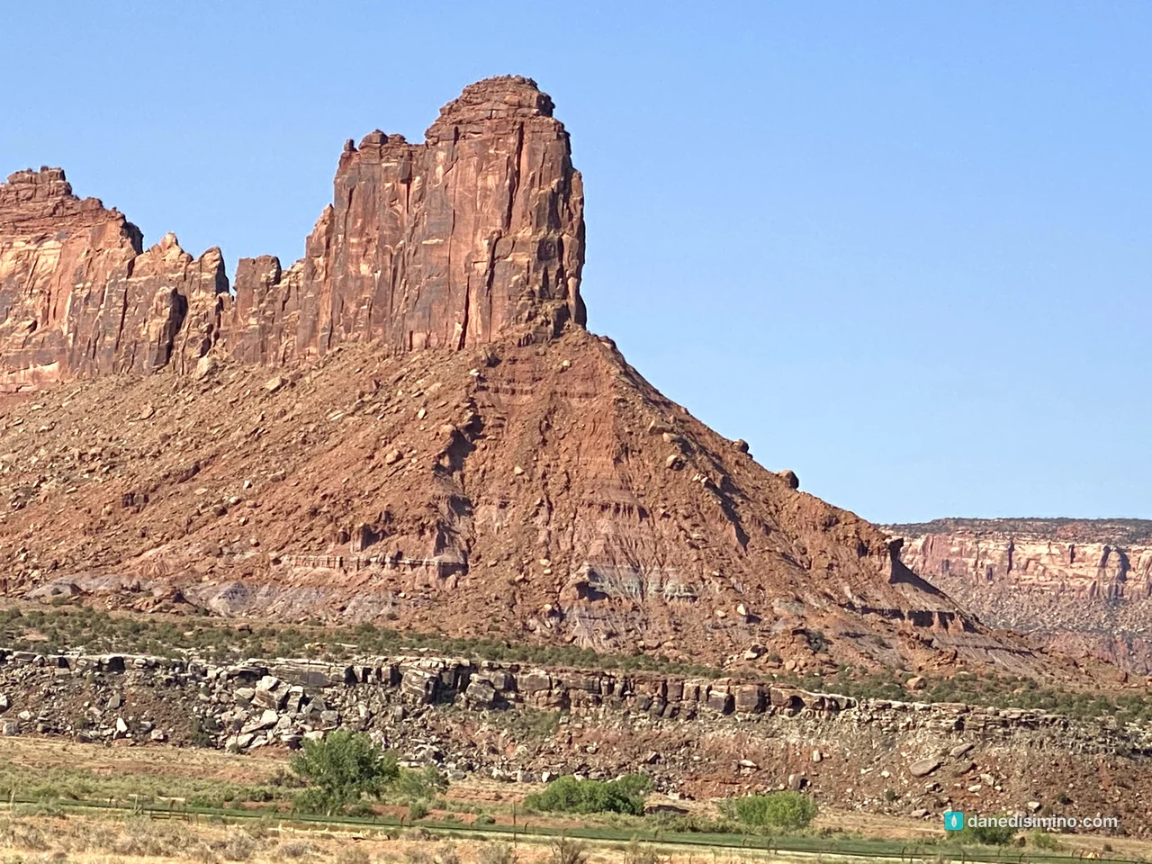
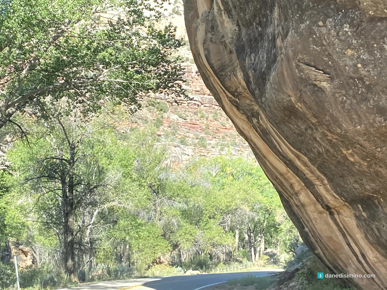
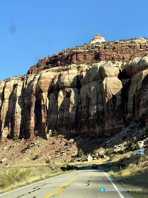
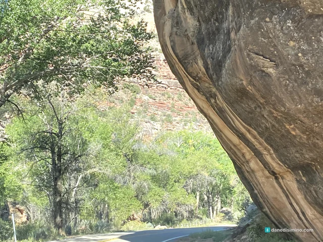
Some of the best scenery of the day was before the park boundary. Utah 211 follows Indian Creek through a canyon of red Wingate sandstone: cliffs, buttes and towers that glow in the morning light, with green cottonwoods along the creek. This is the western-movie part. Take your time and use the pullouts.
Newspaper Rock
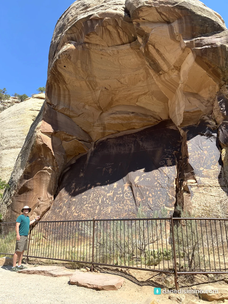
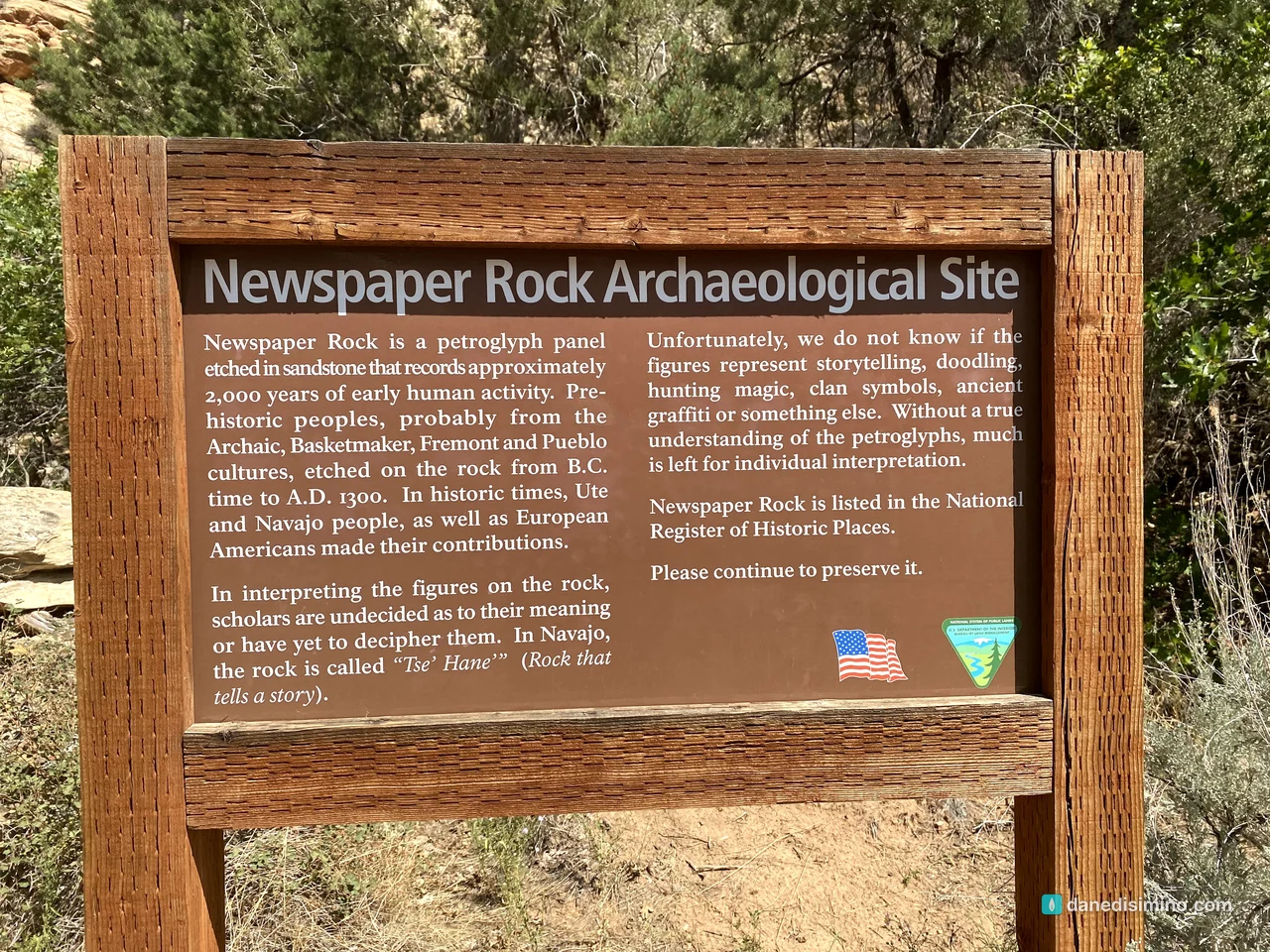
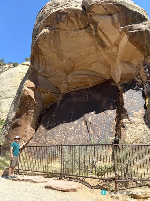
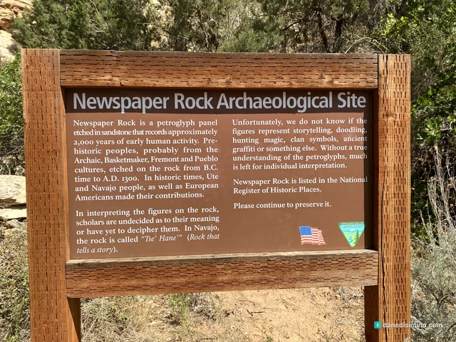
On the way in, stop at Newspaper Rock, a few minutes off Utah 211. It's one dark, varnished cliff face covered in hundreds of carved figures: people, animals, hand and foot prints, wheels and symbols. It records roughly 2,000 years of human activity. Archaic, Basketmaker, Fremont and Pueblo peoples carved it from before the time of Christ to about 1300, and later Ute and Navajo people and European Americans added their own. The Pueblo carvers were part of the same ancestral culture that built Mesa Verde's cliff dwellings.
Nobody knows exactly what the figures mean: stories, hunting magic, clan symbols, ancient graffiti, or something else. In Navajo, it's called Tse' Hane', "rock that tells a story." It's on the National Register of Historic Places and managed by the Bureau of Land Management, not the park, and it's free.
Cave Spring: a cowboy camp and ancient rock art
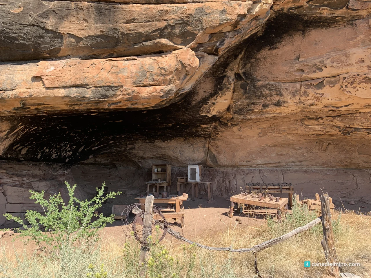
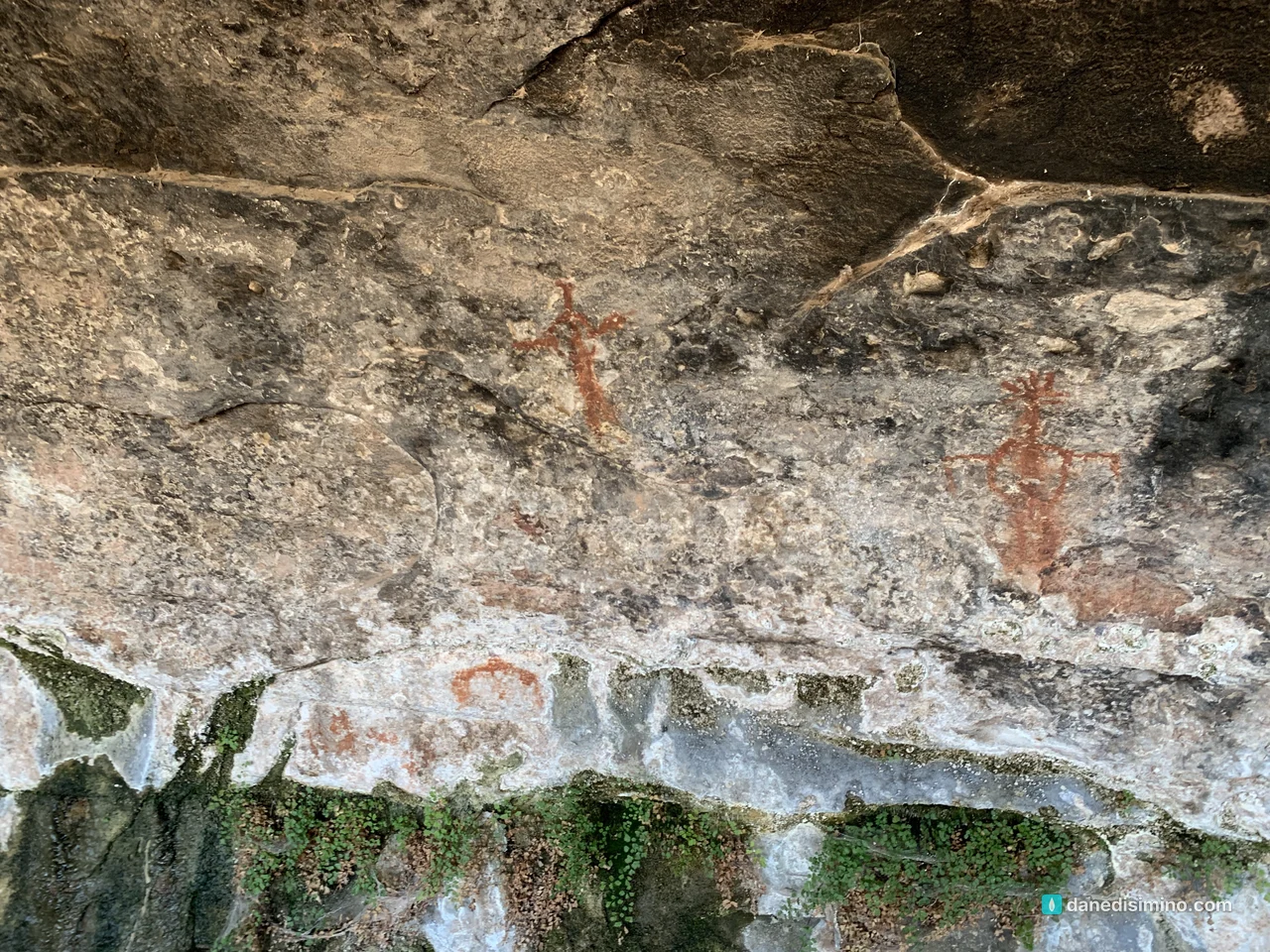
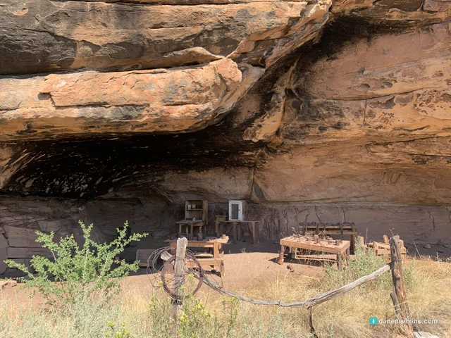
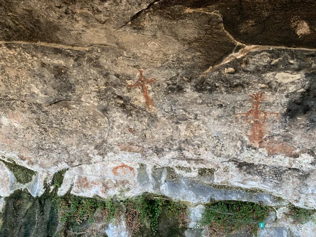
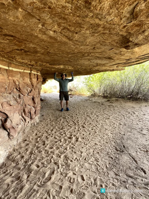
Inside the Needles, we walked the Cave Spring Trail, a short 0.6-mile loop that's the best introduction to the district. It leads past a historic cowboy camp tucked under a sandstone overhang, still furnished with old tables and gear, and prehistoric painted figures on the alcove walls. All of it is there because of a small spring, rare water in a very dry place.
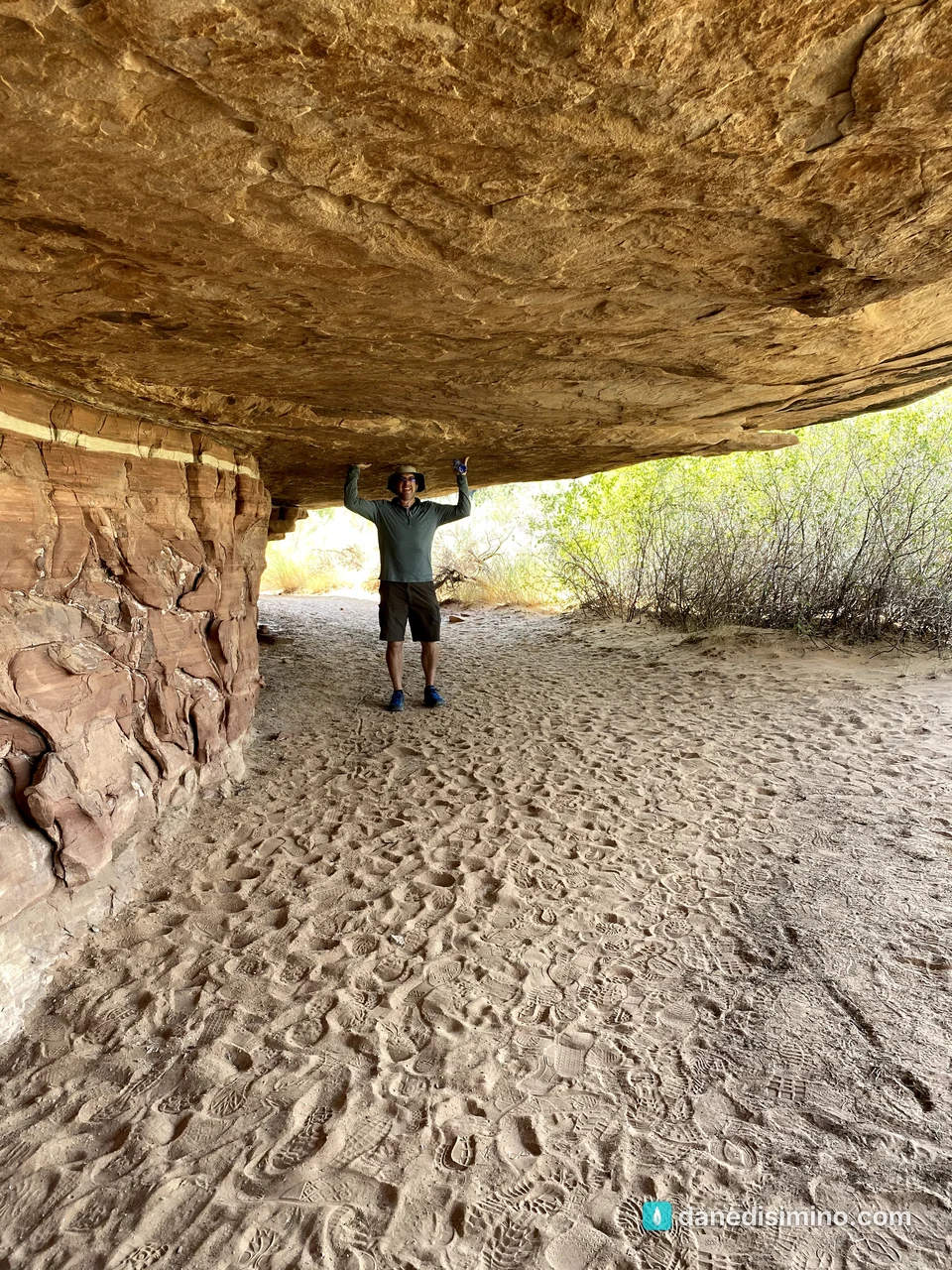
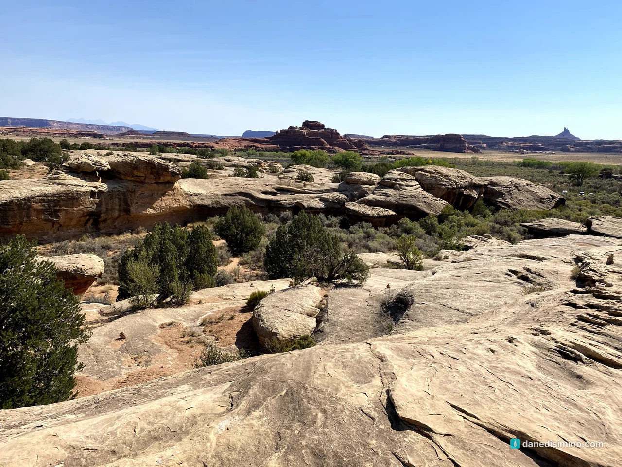
From the slickrock above, you can see out across the district toward the spires that give the Needles its name. Under that sun, it really does look like Mars.
Where we slept
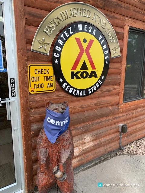
We stayed at the KOA in Cortez and did Canyonlands as a day trip, about two hours each way. It worked, but it meant arriving at the trails late. If I did it again, I'd sleep closer: the Needles Campground is inside the district and open year-round, and Monticello is the nearest town.
What I'd do differently
Sleep near the park. Camp at the Needles Campground so you're on the trail at dawn.
Go in spring or fall. April, May, mid-September and October have the best temperatures.
Hike farther, earlier. Chesler Park and the Joint Trail are the classic Needles day hikes. Start them at sunrise.
Give Utah more days. Add Island in the Sky and Arches near Moab and make it a real red-rock trip.
What Canyonlands taught me
Canyonlands taught me what thirst feels like. In a place where shade and water are the most valuable things around, you understand why a small spring under a rock became a camp for cowboys and a stopping place for people long before them.
"O God, you are my God; I earnestly search for you. My soul thirsts for you; my whole body longs for you in this parched and weary land where there is no water." (Psalm 63:1, NLT)
The desert makes the thirst obvious. It's there in every other place too.
Questions?
Ask me anything about Canyonlands: picking a district, beating the heat, Newspaper Rock, or pairing it with Mesa Verde. I answer every question.
Photos
Sources
Pathlight
Park guides from the road. A printable trip sheet comes with them when one is ready.