
NATIONAL PARKS · PARK 4 OF 64
Great Sand Dunes
A Field Guide
On this page
One windy September day at the tallest dunes in North America: climbing the sand below snowcapped peaks, wading up a creek into Zapata Falls, sunset at San Luis Lakes, and a hot-springs campground down the road. What to bring, where to sleep, and a warning about dogs.
Version 1.1 · Updated Nov 17, 2026
Map
When to go
Average monthly visits, 2023–2025. Source: NPS visitor statistics. ● marks the months we visited.
| January | 5,409 |
|---|---|
| February | 7,575 |
| March | 18,248 |
| April | 23,778 |
| May | 67,307 |
| June | 87,130 |
| July | 84,381 |
| August | 63,164 |
| September | 47,005 |
| October | 36,694 |
| November | 11,661 |
| December | 8,439 |
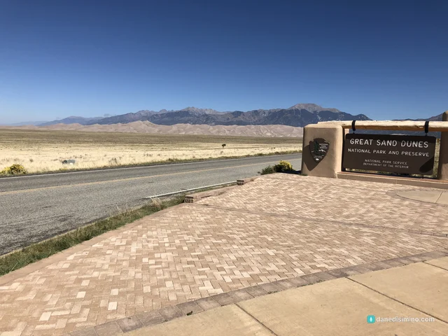
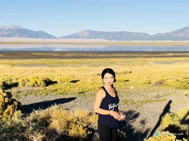
Great Sand Dunes came two and a half weeks after Yellowstone, in September 2018. That's not a fair comparison for any park, but this one holds its own. It's a few hours' drive from Colorado Springs, and the first look is unreal: a field of sand dunes piled right in front of snowcapped peaks, like someone dropped a desert at the foot of the Rockies.
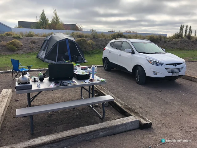
By then we were tent pros. Yellowstone had taught us everything the hard way, so camp went up fast. Good thing, because the one thing I remember most clearly about this trip is the wind.
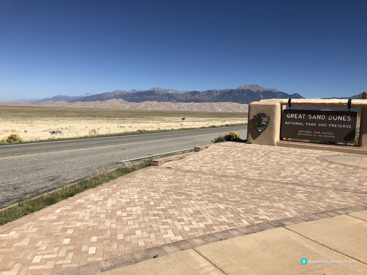
A desert at the foot of the Rockies. It doesn't look real until you're standing in it.
The short version
It's the tallest sand in North America. Star Dune rises 750 feet. The first high ridge, the one most people climb, is a 1.25-mile slog in soft sand.
Bring a real sand sled, or rent one. Snow sleds barely move on dry sand. The rental shops near the park have sleds and boards built for it.
Expect wind. Afternoon gusts are part of the deal, especially in spring. Pack eye protection and stake the tent like you mean it.
Wade into Zapata Falls. A short, steep hike just south of the park ends with walking up a creek into a hidden waterfall.
Stay for sunset. The dunes turn gold and the valley goes quiet.
Keep dogs on a leash. It's the rule, and I'll tell you why below.
The park at a glance
- 750 ft
- Star Dune, the tallest in North America
- 30 sq mi
- Main dunefield
- ~3 hr
- Drive from Colorado Springs
- $25
- Per vehicle at the gate
Where: the San Luis Valley in southern Colorado, about three hours from Colorado Springs or four from Denver.
Entrance fee: $25 per vehicle. The park also sells its own annual pass, and America the Beautiful passes work too.
When: June is the busiest month and January the quietest. September, when we went, has about half of June's crowds and cooler sand.
Summer heat: the air stays mild at 8,200 feet, but the sand surface gets dangerously hot on sunny summer afternoons. Hike the dunes early or late.
Contact: nps.gov/grsa. In an emergency, call 911.
How the dunes got here
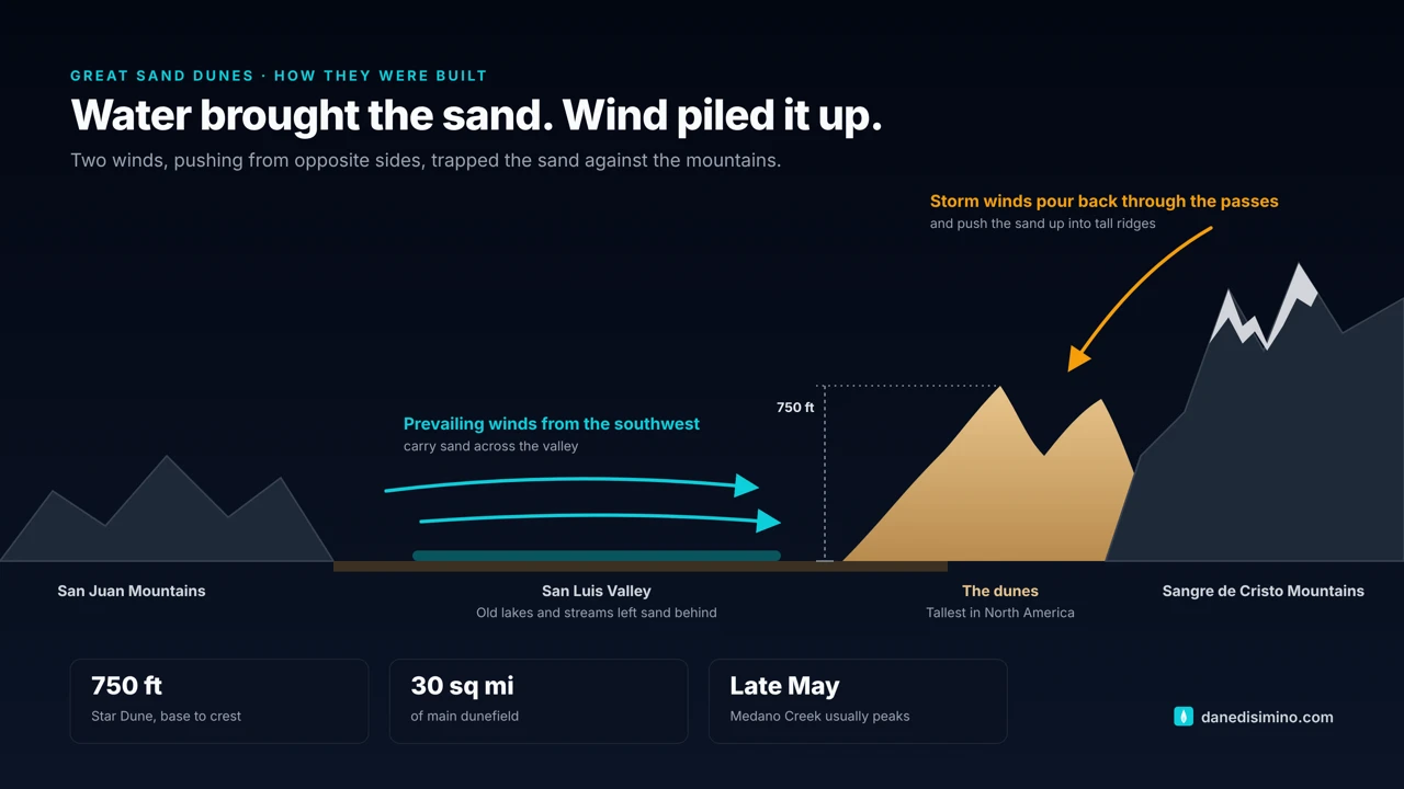
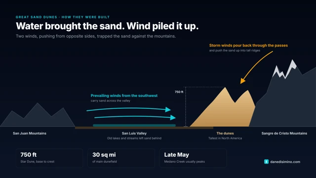
It seems impossible that this much sand ended up against a mountain range, so here's the short version from the park's geologists. The San Luis Valley between the San Juan and Sangre de Cristo mountains filled with sediment and, for a long stretch, a huge lake. As the lakes and streams dried up, they left sand behind on the valley floor.
Then the wind went to work. Prevailing winds from the southwest carry the sand across the valley toward a bend in the Sangre de Cristos. Storm winds pour back the other way through the mountain passes. Caught between the two, the sand has nowhere to go but up. That's why the dunes are so tall, and why it was so windy the day we were there.
How it became a park. In the 1920s, gold was found in the dunes and mining began. Worried residents of the San Luis Valley, led by women of the local P.E.O. chapters, pushed for protection, and Herbert Hoover proclaimed Great Sand Dunes National Monument in 1932. Decades later, the threat was groundwater: companies wanted to pump the valley's water. Valley residents banded together again, and Congress passed a 2000 law expanding the monument into a national park and preserve almost four times its original size. It became Great Sand Dunes National Park and Preserve in 2004.
Our day in the sand
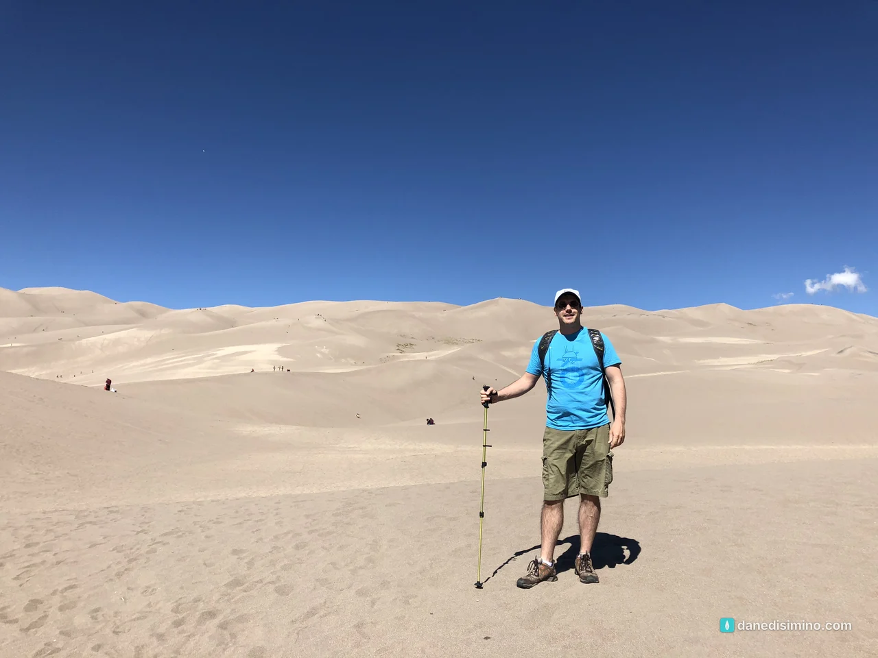
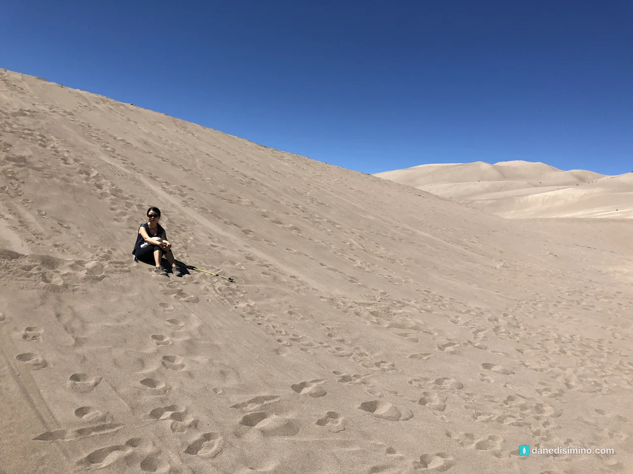
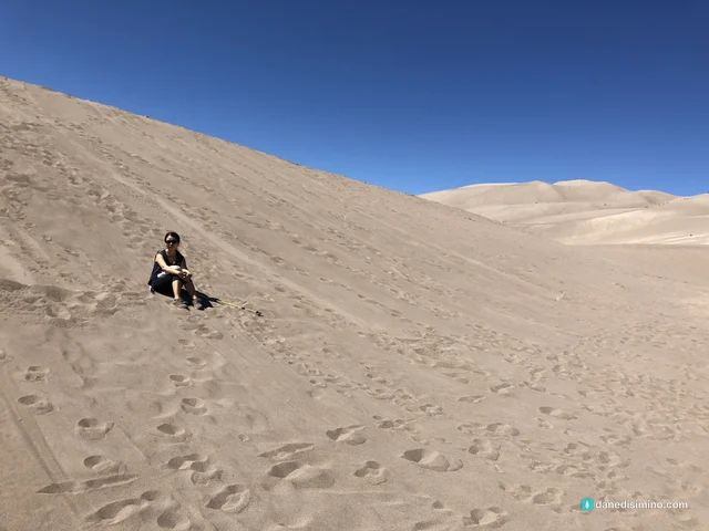
We started at the main dunes parking area and walked out across the wide, flat bed of Medano Creek and up into the dunes. Walking in sand is harder than it looks: two steps up, one step back. Pace yourself, bring more water than you think, and turn around before you're spent. Coming down is the fun part.
Zapata Falls
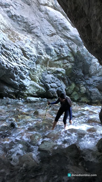
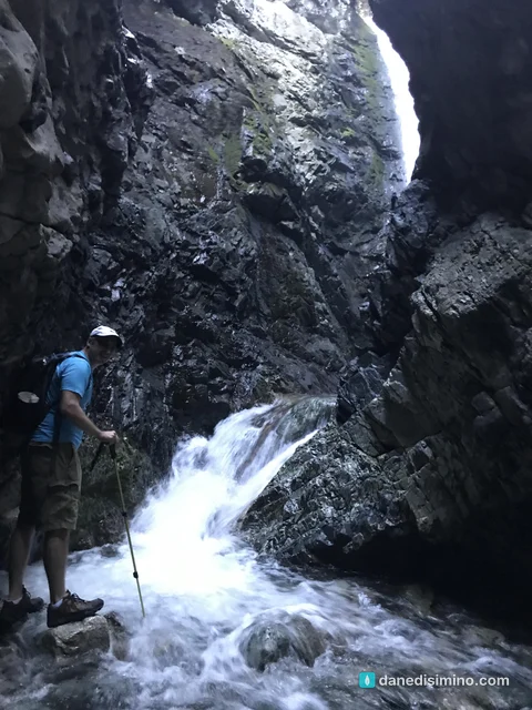
In the afternoon we drove a few miles south to Zapata Falls. It's not in the national park; the Bureau of Land Management and the State Land Board manage it together. The trail is only about half a mile each way, but it's rocky and steep. The fun part is the end: the falls sit inside a narrow rock crevice, and the only way in is to wade up the creek. Everybody walks in and out through the water. It's cold, so wear sturdy shoes you can get wet.
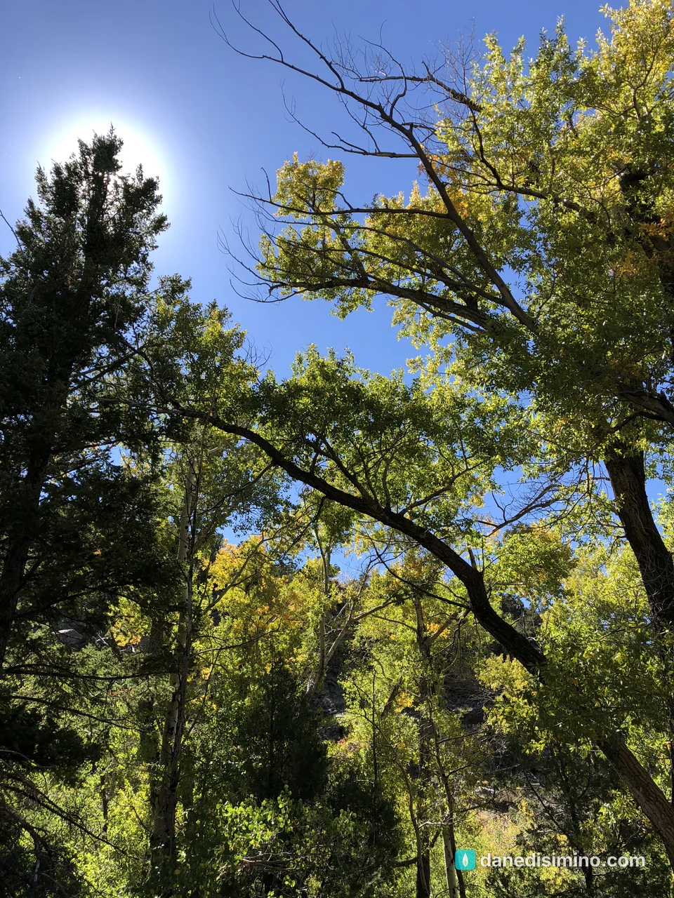
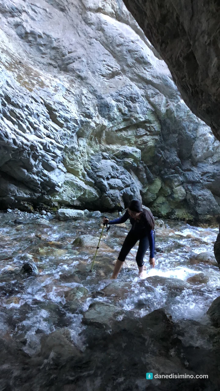
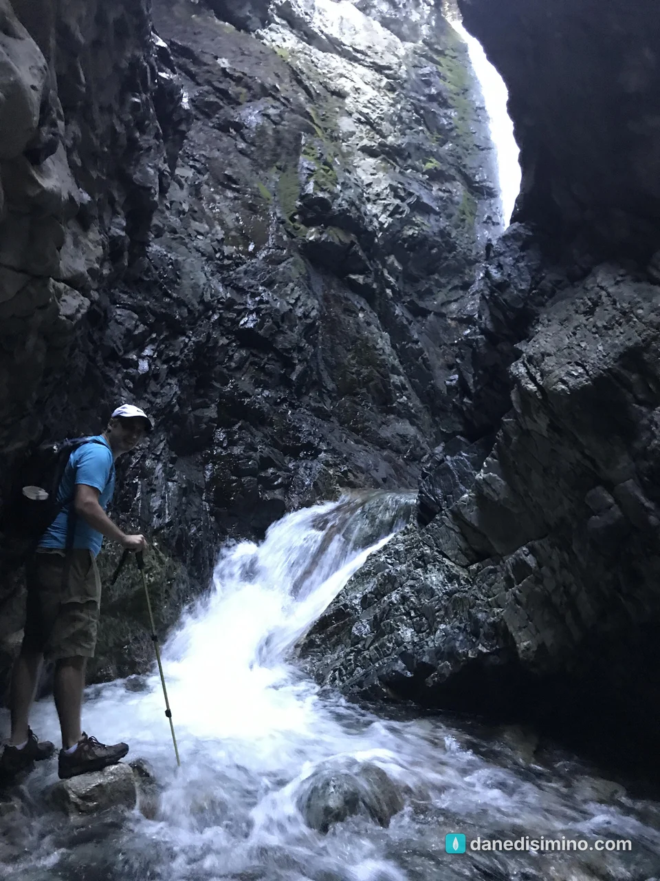
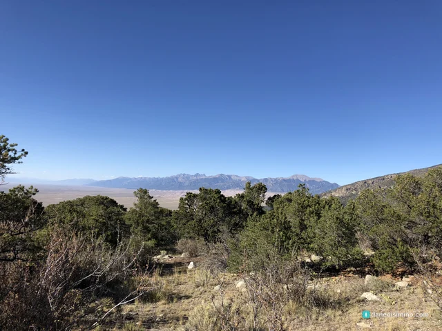
The road to the trailhead is 3.5 rough, steep miles; the land managers recommend four-wheel drive. Don't climb the falls. It's slick, it's dangerous, and it's nesting habitat for black swifts. From the parking lot you get one of the best views of the dunes across the valley.
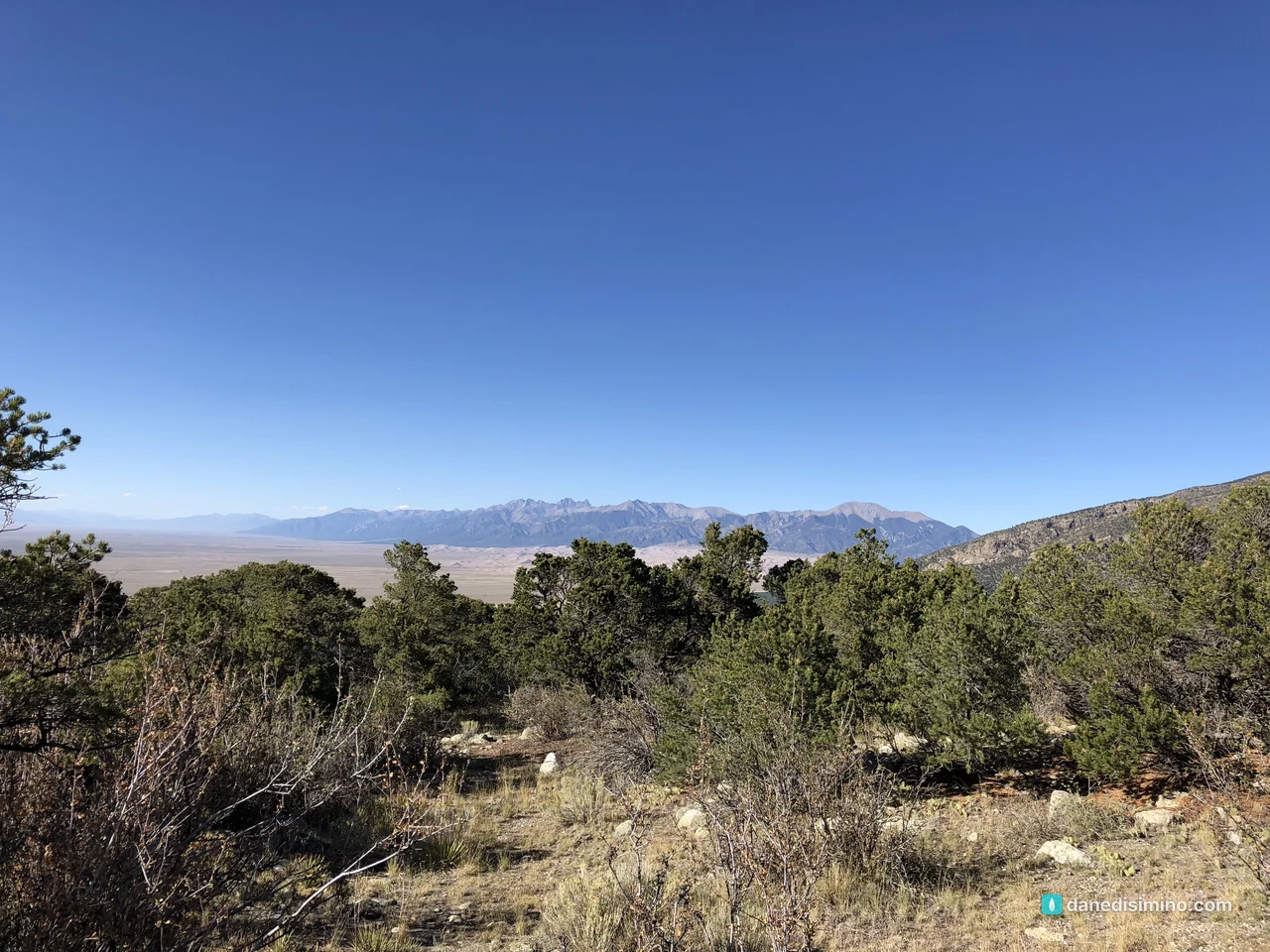
Sunset across the valley
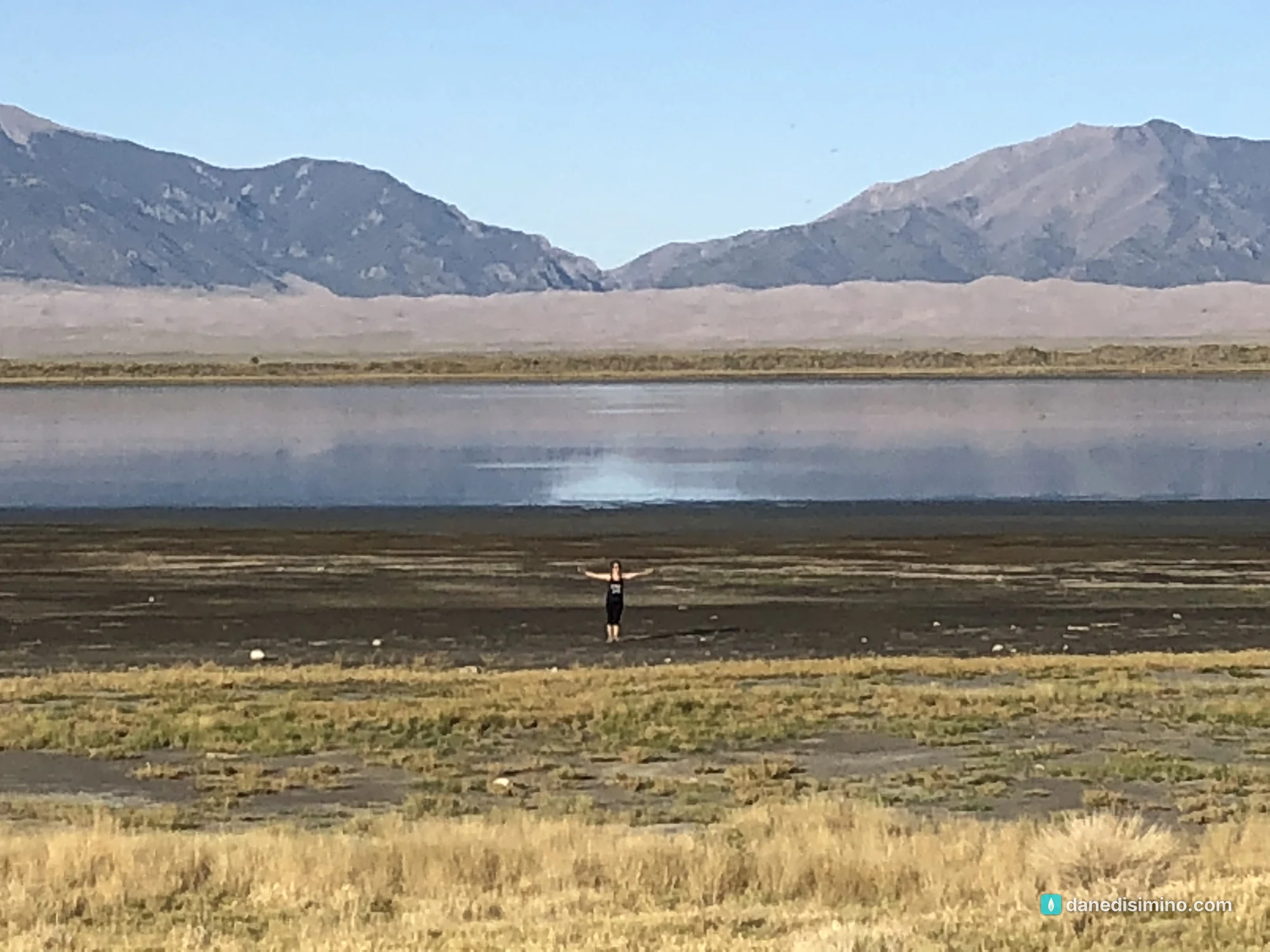
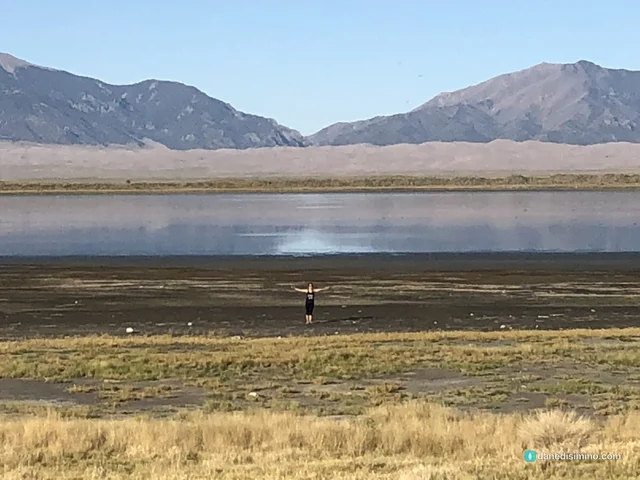
We ended the day at San Luis Lakes, a state wildlife area on the valley floor west of the dunes, with the whole dunefield and the mountains reflected in the water. The evening light turns the sand gold and the grass yellow. If you can only pick one hour, pick this one.
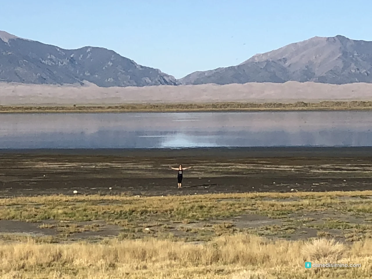
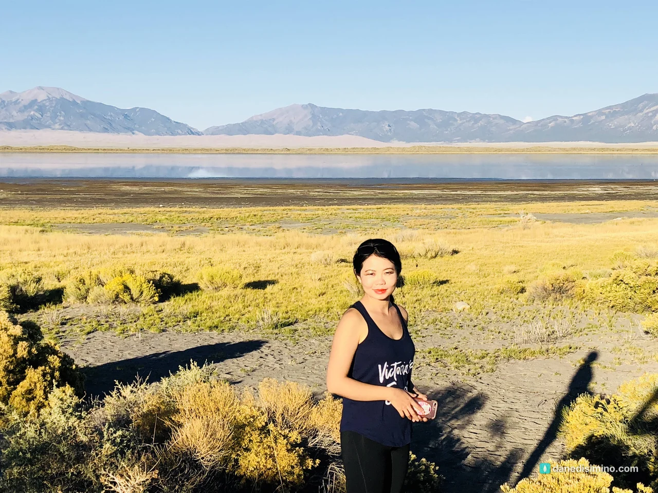
Where we slept
We camped at Sand Dunes Recreation near Hooper, on the valley floor west of the park. It's a campground attached to a set of naturally heated artesian pools, kept around 98 to 102 degrees, and there's an indoor greenhouse soaking area too (21 and older). After a windy day in the sand, sitting in warm water at sunset was the right call. It's about 32 miles from the park visitor center, roughly 35 to 40 minutes.
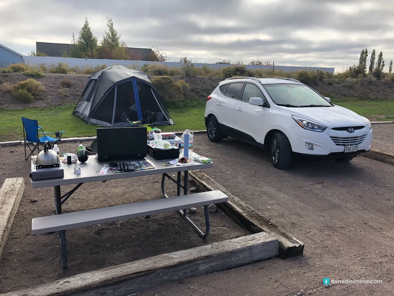
If you'd rather sleep inside the park, Piñon Flats Campground has 91 sites near the dunes, open April through October, and every site is reservable on Recreation.gov.
What I'd do differently
Rent the sled before you drive in. The Oasis store by the entrance is closest, but it won't rent when the sand is wet, and the park doesn't rent sleds at all.
Go in late May or early June. That's when Medano Creek usually runs at its peak, with waves of water rolling down the creek bed at the foot of the dunes. By September it's usually low or dry.
Climb in the morning. Cooler sand, calmer air and softer light. Save the afternoon for Zapata Falls.
Stay for the stars. The park is a designated International Dark Sky Park, and we left before it got dark.
What Great Sand Dunes taught me
Great Sand Dunes taught me how much can be built by something you can't see. No one watched the wind pile 750 feet of sand against those mountains, but you can feel it working the whole time you're there.
"The wind blows wherever it wants. Just as you can hear the wind but can't tell where it comes from or where it is going, so you can't explain how people are born of the Spirit." (John 3:8, NLT)
Some of the biggest things in our lives are shaped by forces we only notice when they move.
Questions?
Ask me anything about Great Sand Dunes: the climb, renting a sled, Zapata Falls, or the hot springs campground. I answer every question.
Photos
Sources
- Great Sand Dunes National Park and Preserve (NPS)
- How the dunes formed (NPS geology)
- Frequently asked questions (NPS)
- Sandboarding and sand sledding (NPS)
- Pets (NPS)
- Fees and passes (NPS)
- Medano Creek (NPS)
- Zapata Falls Special Recreation Management Area (BLM brochure)
- Sand Dunes Recreation, Hooper (Alamosa visitor guide)
- National monument and national park status (NPS)
Pathlight
Park guides from the road. A printable trip sheet comes with them when one is ready.