
NATIONAL PARKS
Arches
A Field Guide
On this page
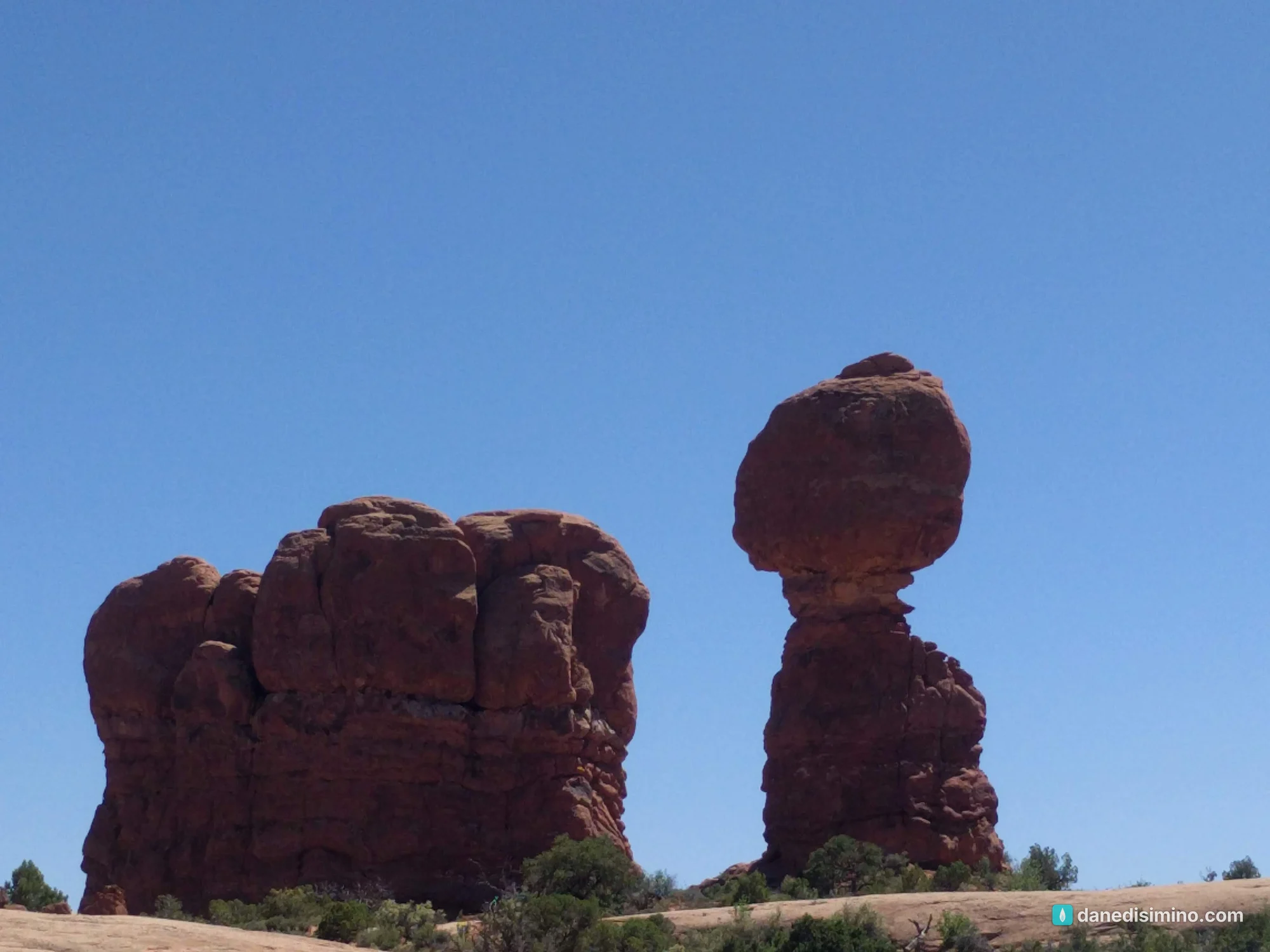
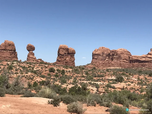
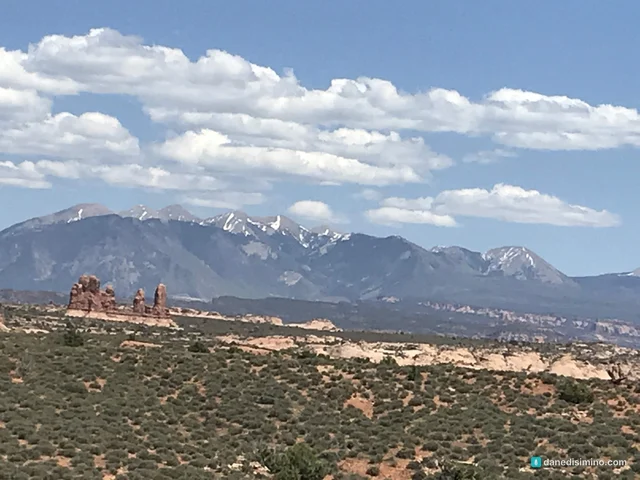
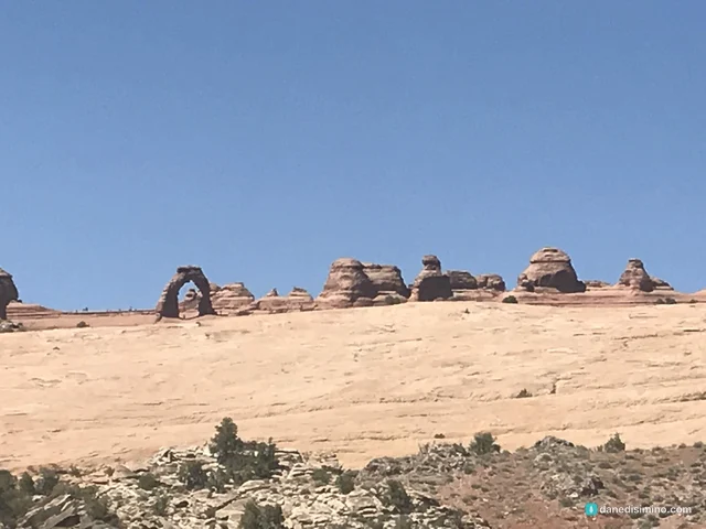
A few hours in Arches on the way to the Grand Canyon: the towers of Park Avenue, Balanced Rock under the snowy La Sal Mountains, and Delicate Arch from the viewpoint. How to see the highlights on a pit stop, and why we want to go back and camp.
Version 1.1 · Updated Nov 17, 2026
Map
When to go
Average monthly visits, 2023–2025. Source: NPS visitor statistics. ● marks the months we visited.
| January | 30,462 |
|---|---|
| February | 48,105 |
| March | 142,741 |
| April | 156,681 |
| May | 192,367 |
| June | 179,002 |
| July | 159,977 |
| August | 146,023 |
| September | 155,125 |
| October | 144,746 |
| November | 82,218 |
| December | 49,326 |
I'll be honest: we treated Arches as a pit stop. In May 2018 we drove from Golden to the Grand Canyon, and Arches sat right on the way, so we stopped to see two parks on one trip. We spent a few hours driving the main road, got out at the big viewpoints, and didn't do any real hikes. The Grand Canyon was the main event. It was one of our earliest park trips, long before we knew how to plan one.
I've always thought of Arches that way, as a place you stop on the way to somewhere else. But even a few hours showed us there's a lot more to see and do here. You can camp, hike among the fins and arches, and spend days exploring. We want to go back and do exactly that.
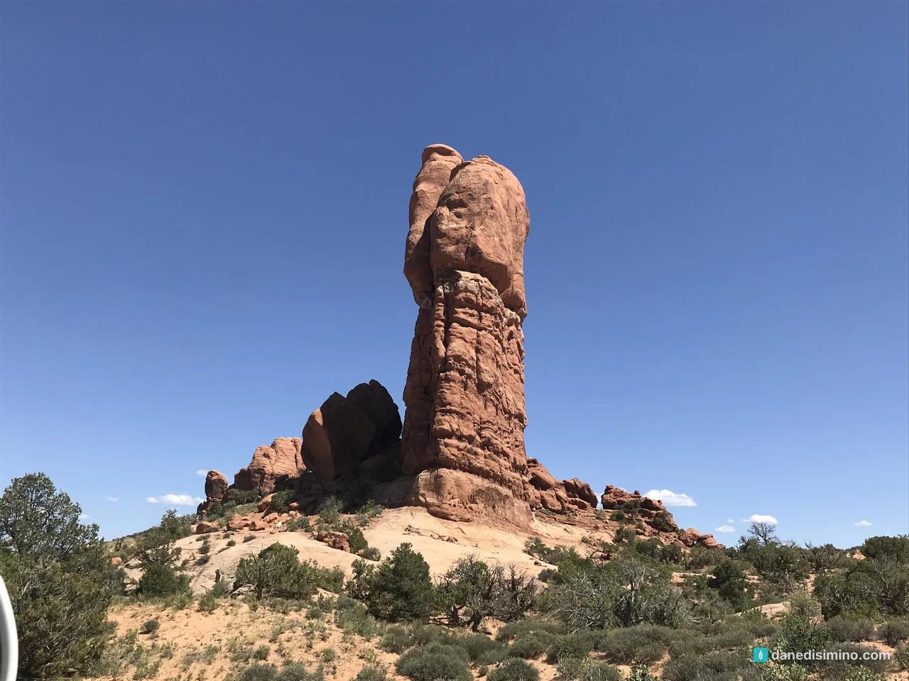
We stopped for a few hours on the way to somewhere else. It deserves days.
The short version
It works as a pit stop. If you're driving through Moab on a bigger trip, you can see the highlights in an afternoon from the main road.
But give it more if you can. Camp at Devils Garden, hike to Delicate Arch, and walk among the fins.
Hike to Delicate Arch if you have three hours. It's 3 miles round trip and climbs 480 feet. If you don't, see it from the viewpoint like we did.
Go early or late. The parking lots fill up and the midday sun is harsh.
Bring water. It's high desert, and there's little shade.
The park at a glance
- 2,000+
- Documented natural arches
- 128 ft
- Balanced Rock, top to bottom
- 3 mi
- Round trip to Delicate Arch
- $30
- Per vehicle at the gate
Where: eastern Utah, just north of Moab on U.S. 191.
Entrance fee: $30 per vehicle, good for seven days. Card only.
Reservations: in 2026 the park isn't requiring timed-entry reservations; you can enter any time during operating hours, though rangers may hold cars at the entrance when it gets congested. Check the park's website before you go, because this has changed from year to year.
When: May is the busiest month and January the quietest. Spring and fall are the most comfortable; summer afternoons get hot.
Contact: nps.gov/arch. In an emergency, call 911.
Why there are so many arches
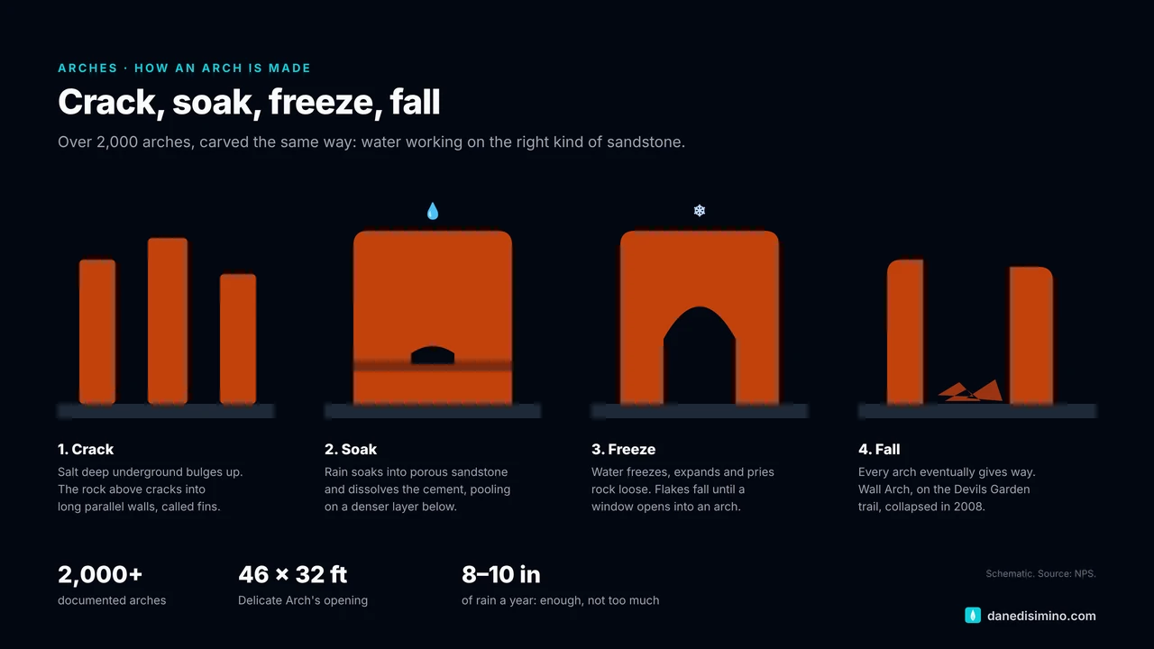
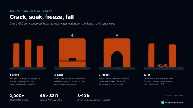
Arches has the densest concentration of natural stone arches in the world: more than 2,000 documented, from slivers you have to press your cheek against the rock to see through, to spans of more than 300 feet. To count as an arch, an opening has to be at least three feet across in one direction. It takes the perfect recipe:
The right rock. The salmon-colored Entrada Sandstone was once a desert of shifting dunes. It's hard but porous, and it sits on softer layers that trap water.
Salt underneath. Deep below the park lies a thick layer of salt, left by an ancient sea. Squeezed by the rock above, the salt flowed and bulged upward into long domes, and the sandstone on top cracked into parallel lines, like the crust of baking bread.
Just enough water. The park gets only about 8 to 10 inches of rain and snow a year. Water seeps into the cracks, dissolves the natural cement holding the sand grains together, and freezes and expands in winter, prying the rock apart. Too much rain and the rock would wash away before arches could form; none and erosion would stop.
Time. The cracks widen into narrow walls called fins. Weak spots in the fins wear through into holes, and holes grow into arches. Over about 65 million years, the land was buried, uplifted and then stripped of more than a mile of overlying rock to expose these layers.
Arches don't last forever. The same forces keep widening them until they fall. Wall Arch collapsed in 2008.
- 2,000+
- Documented arches
- 300+ ft
- Longest span: Landscape Arch
- 65 million
- Years in the making
- 8–10 in
- Of rain and snow a year
How it became a park
Locals and a prospector named Alexander Ringhoffer spent years promoting the area, and in 1923 Ringhoffer wrote to the railroad to win support for a park. On April 12, 1929, President Herbert Hoover proclaimed Arches National Monument, just 4,520 acres in the Windows and Devils Garden. Later presidents enlarged it, and in 1971 Congress made it a national park.
Our afternoon in the park
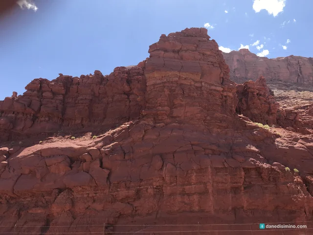
We came in from the north on U.S. 191 and turned into the park in the early afternoon. The red cliffs start before you even reach the gate.
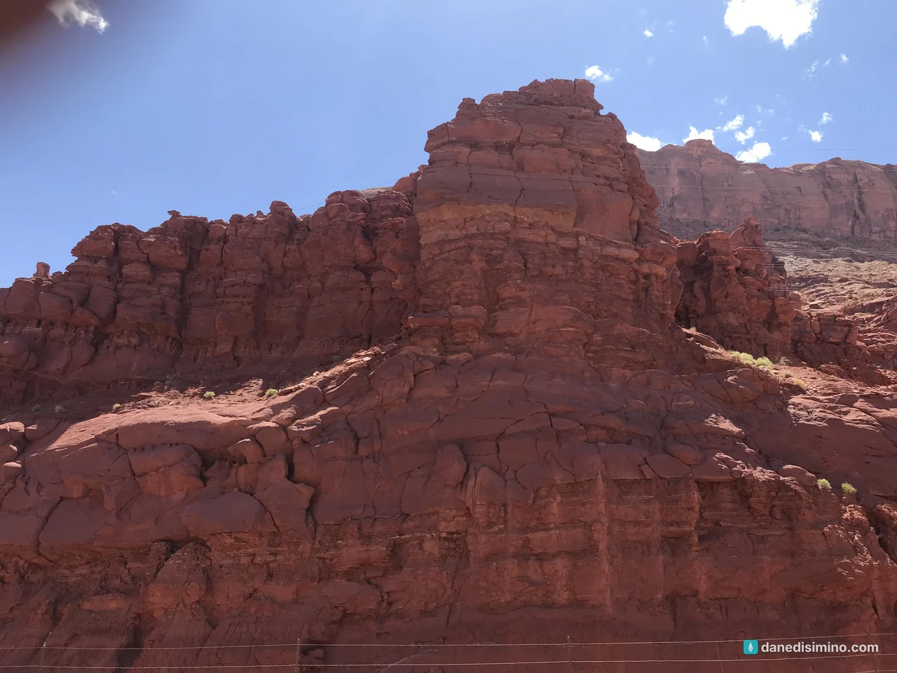
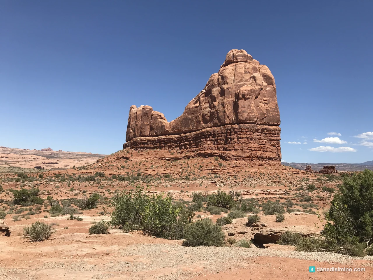
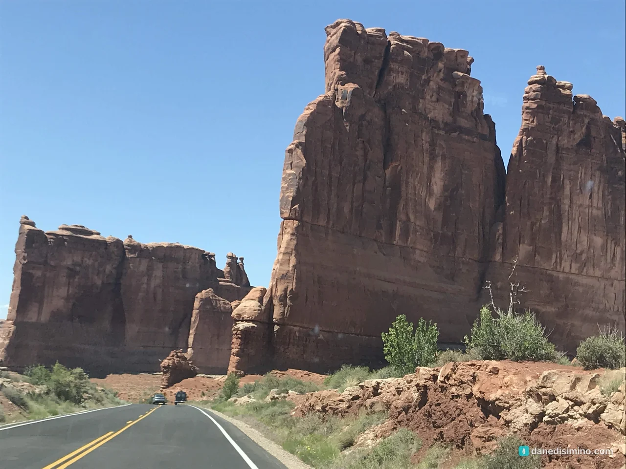
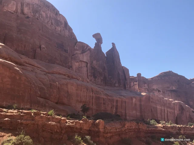
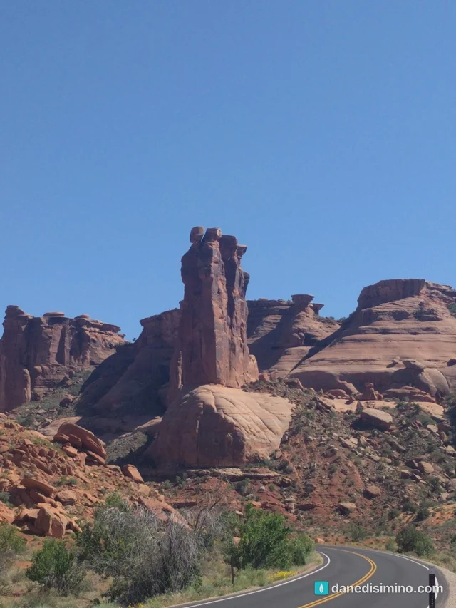
From the entrance, the road climbs a set of switchbacks and suddenly you're among them: walls, towers and buttes of red sandstone rising straight out of the desert.
Balanced Rock
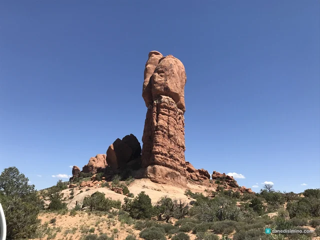
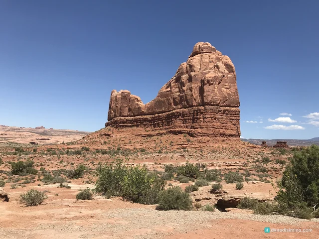
Balanced Rock is right on the main road, about 9 miles from the visitor center, and it's the kind of thing you have to get out of the car for. The whole formation stands 128 feet tall. It isn't actually balanced: the boulder on top is attached to its pedestal, which is a softer rock that's wearing away underneath it. Someday it will fall.
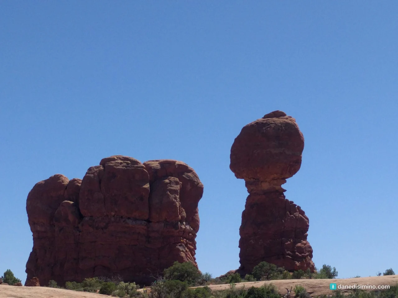
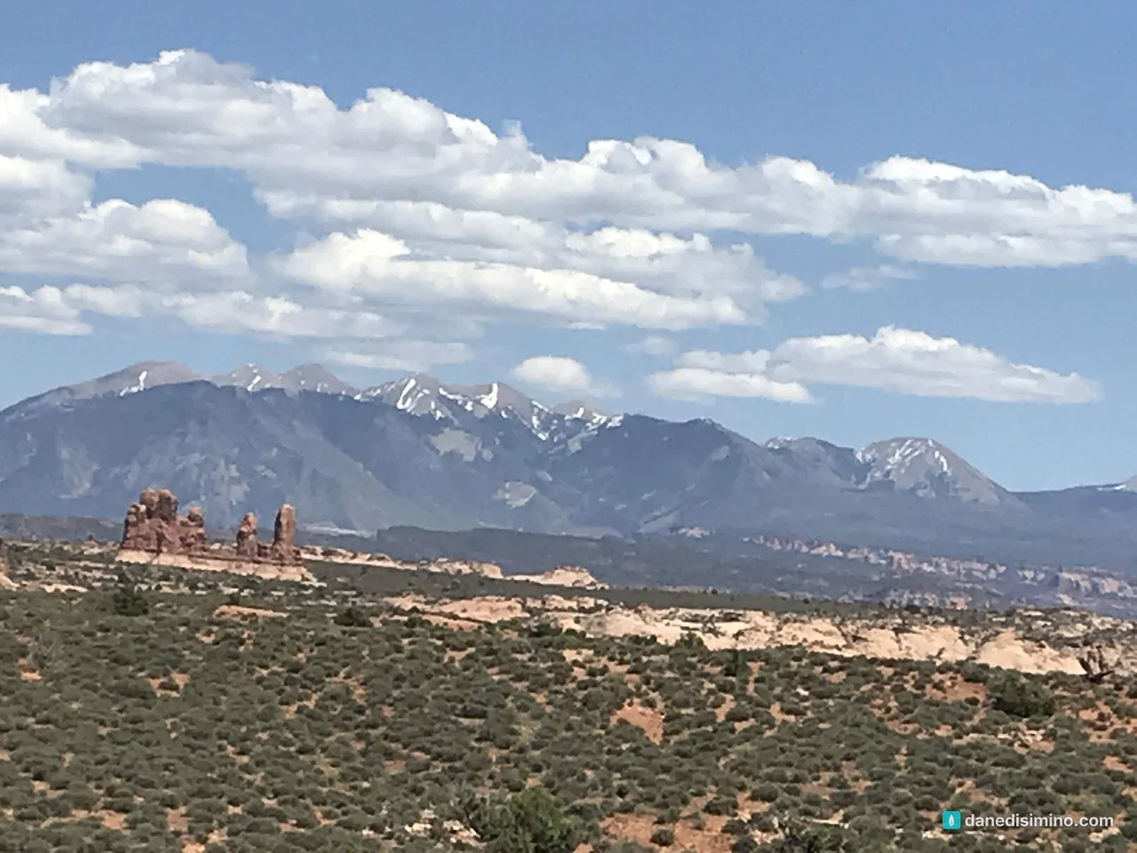
A short, easy loop trail (0.3 miles) circles the base, and the first stretch is paved. From there you can look across to the snow-capped La Sal Mountains, a beautiful contrast with the red rock in late May.
Delicate Arch, from the viewpoint
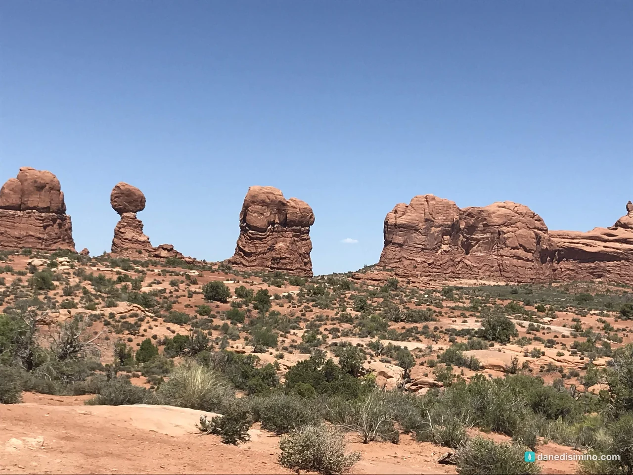
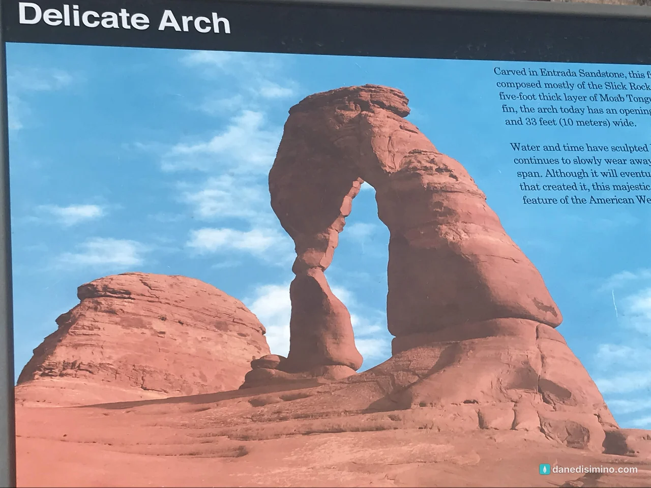
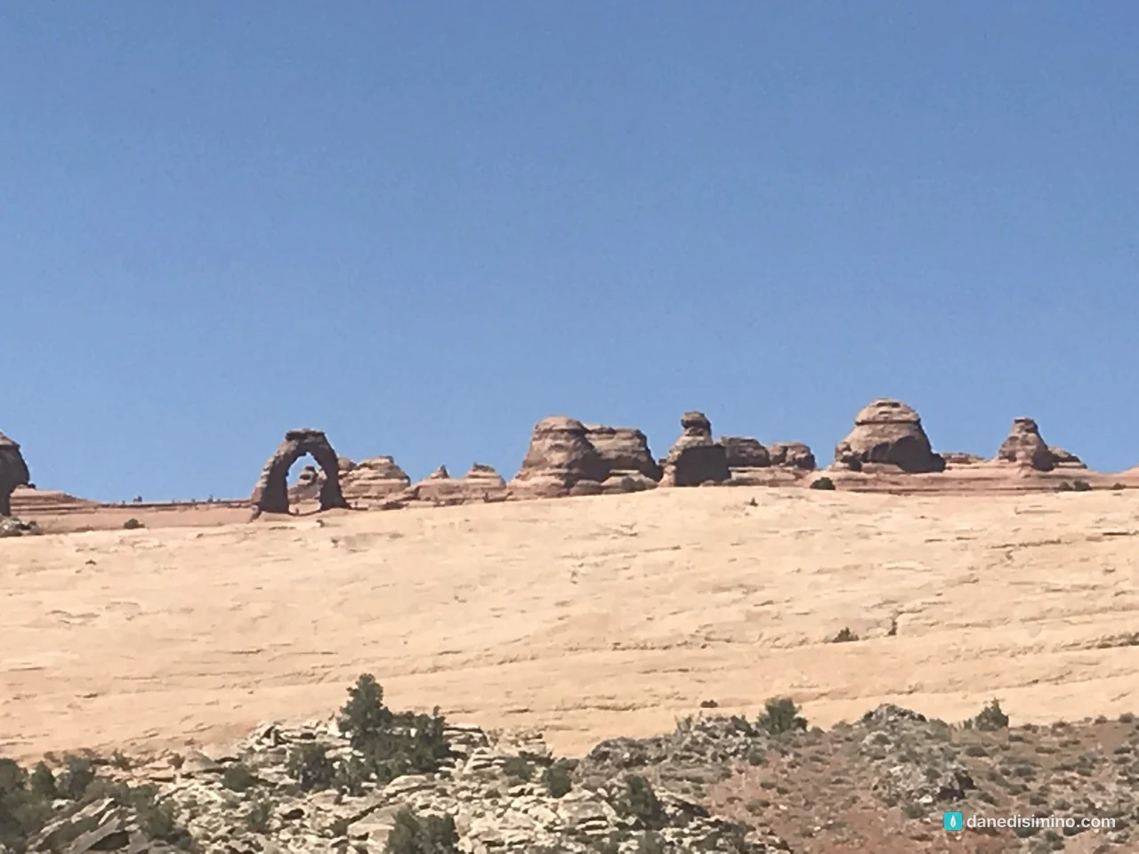
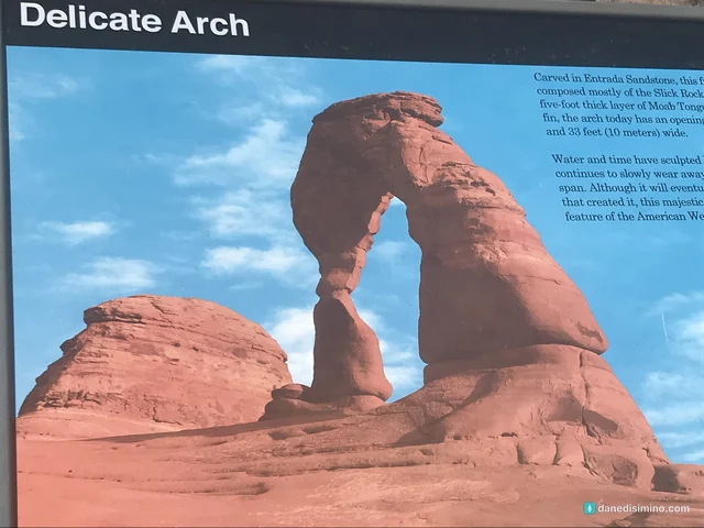
Delicate Arch is a symbol of Utah and one of the most famous rock formations in the world. You can't see it from the main road. We drove out to the Delicate Arch Viewpoint and looked at it from about a mile away. The opening is 46 feet high and 32 feet wide, the largest free-standing arch in the park.
Park Avenue
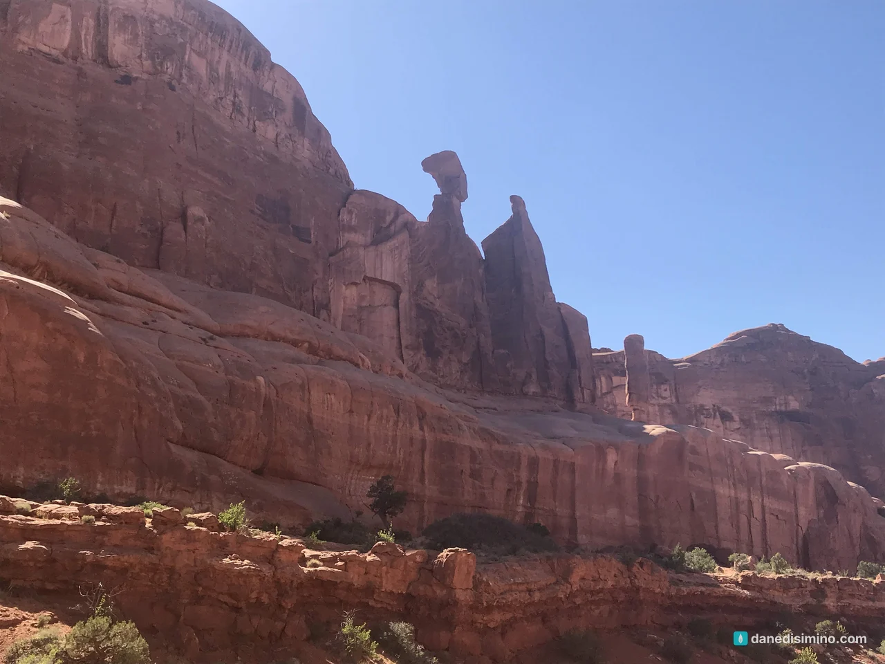
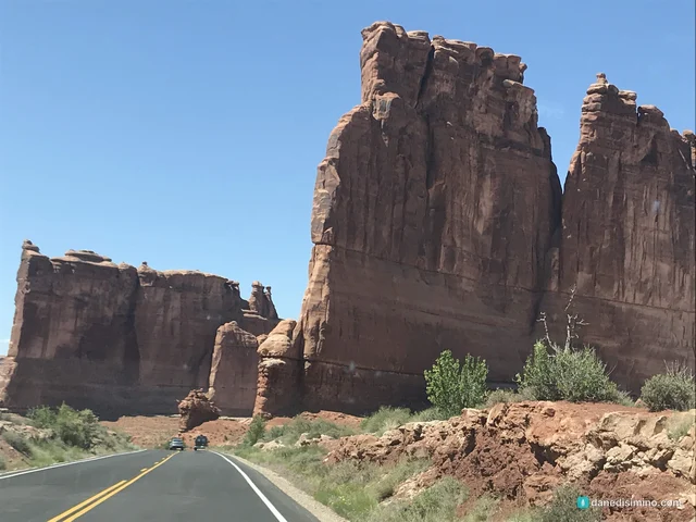
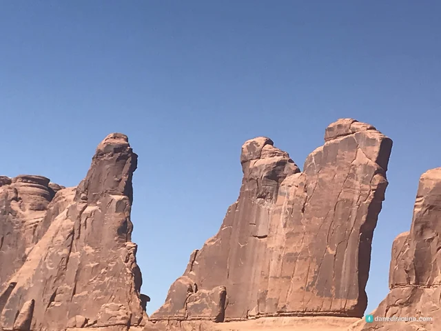
On the way out we stopped at Park Avenue, a corridor of sheer sandstone walls and spires named for its resemblance to a big-city avenue lined with skyscrapers. A paved sidewalk goes to the viewpoint. If you have an hour, the Park Avenue Trail walks 1.8 miles round trip down the canyon floor among the towers.
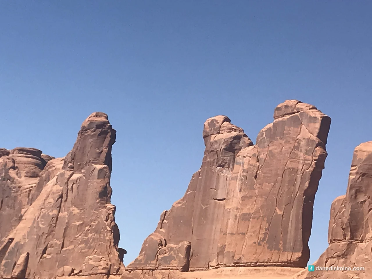
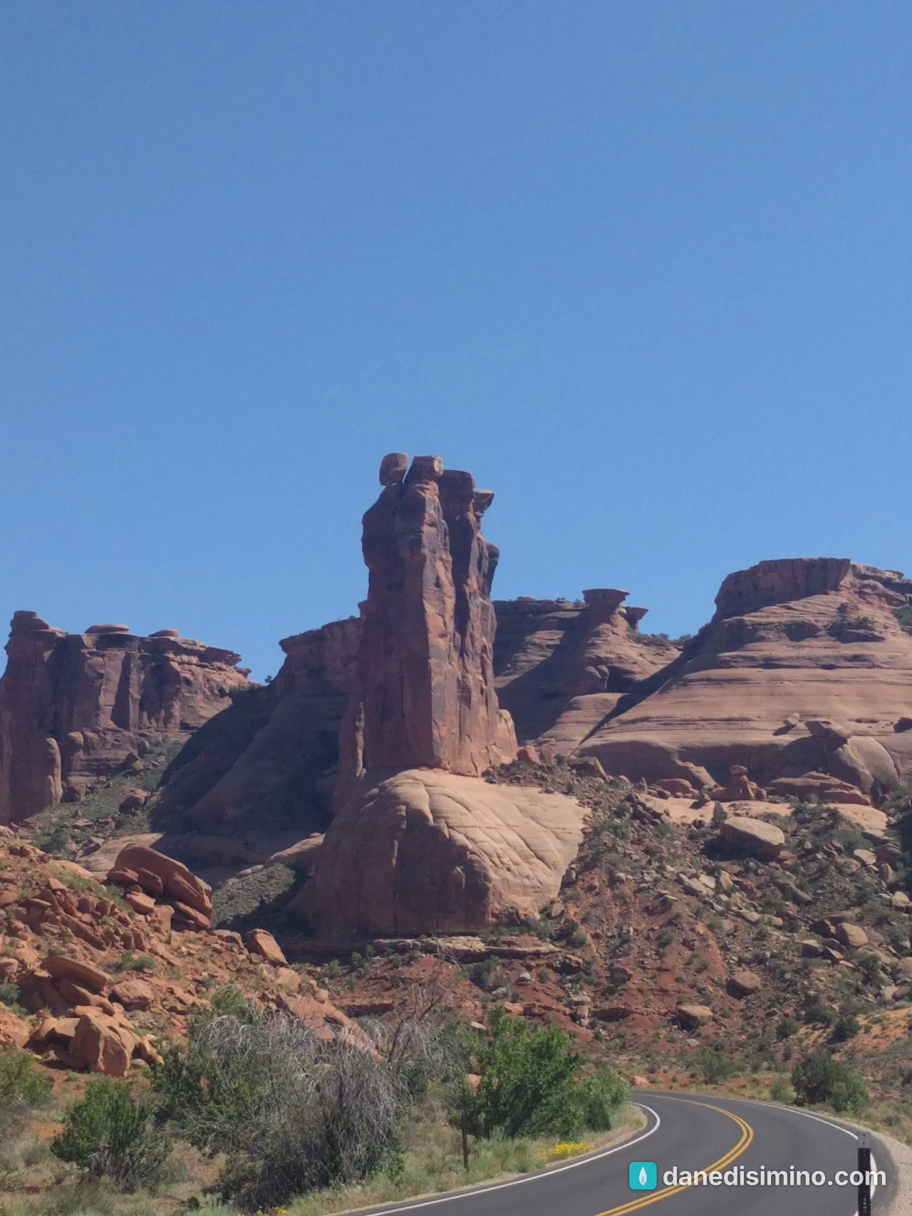
On the road south: Wilson Arch
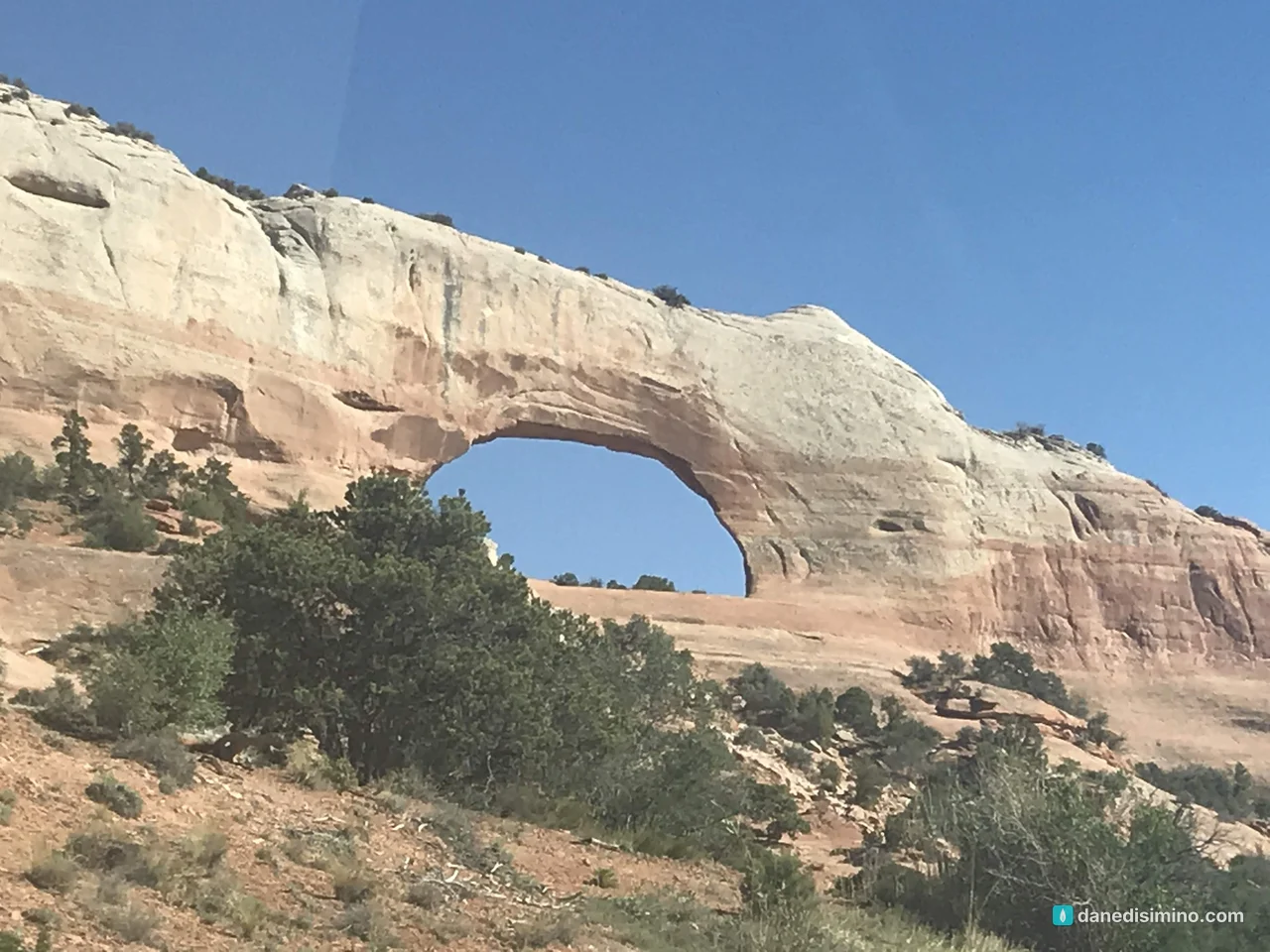
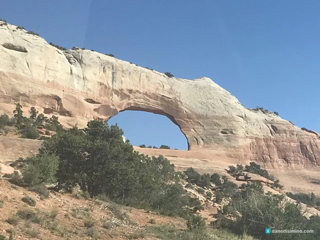
Then we headed south on U.S. 191 toward the Grand Canyon. About 24 miles south of Moab, Wilson Arch stands right beside the highway, so you don't even need to stop to see it. It's not in the park; it's on Bureau of Land Management land, a 91-foot span named after a local pioneer, Joe Wilson. It's a good last look at arch country.
If you stay longer
Camp at Devils Garden. It's the only campground in the park. Sites can be reserved for March through October, and it's usually full every night, so book early. Otherwise, there are many campgrounds around Moab.
Hike Devils Garden. The trail to Landscape Arch, the park's longest span at over 300 feet, starts near the campground.
See the Windows. North Window, South Window, Turret Arch and Double Arch are all a short walk from one parking lot, 12 miles from the entrance.
Book Fiery Furnace. This maze of fins requires a permit or a ranger-led tour, reserved in advance.
Add Canyonlands. Island in the Sky is about 40 minutes from Moab. Here's my Canyonlands guide.
What I'd do differently
Plan a real visit. Two or three days, a campsite, and the trails we drove past.
Hike to Delicate Arch. Seeing it from a mile away made me want to stand under it.
Go early. Be in the park by sunrise to beat the heat and the crowds.
What Arches taught me
Arches taught me what I miss when I rush. We drove through in a few hours, got out at the big viewpoints, and kept going to the next thing. The arches took far longer to make than we took to see them.
"Be still, and know that I am God! I will be honored by every nation. I will be honored throughout the world." (Psalm 46:10, NLT)
Next time, we'll stay a while.
Questions?
Ask me anything about Arches: seeing it on a pit stop, hiking Delicate Arch, camping at Devils Garden, or adding it to a Grand Canyon or Utah road trip. I answer every question.
Photos
Sources
- Arches National Park (NPS)
- Plan your visit (NPS)
- Why are there so many arches? (NPS)
- Delicate Arch (NPS)
- Delicate Arch viewpoints (NPS)
- Balanced Rock (NPS)
- Park Avenue (NPS)
- Camping (NPS)
- Fees and passes (NPS)
- Wall Arch collapses (NPS)
- Wilson Arch (BLM)
- Geologic formations (NPS)
- Park founders (NPS)
- Herbert Hoover's national parks (NPS)
Pathlight
Park guides from the road. A printable trip sheet comes with them when one is ready.