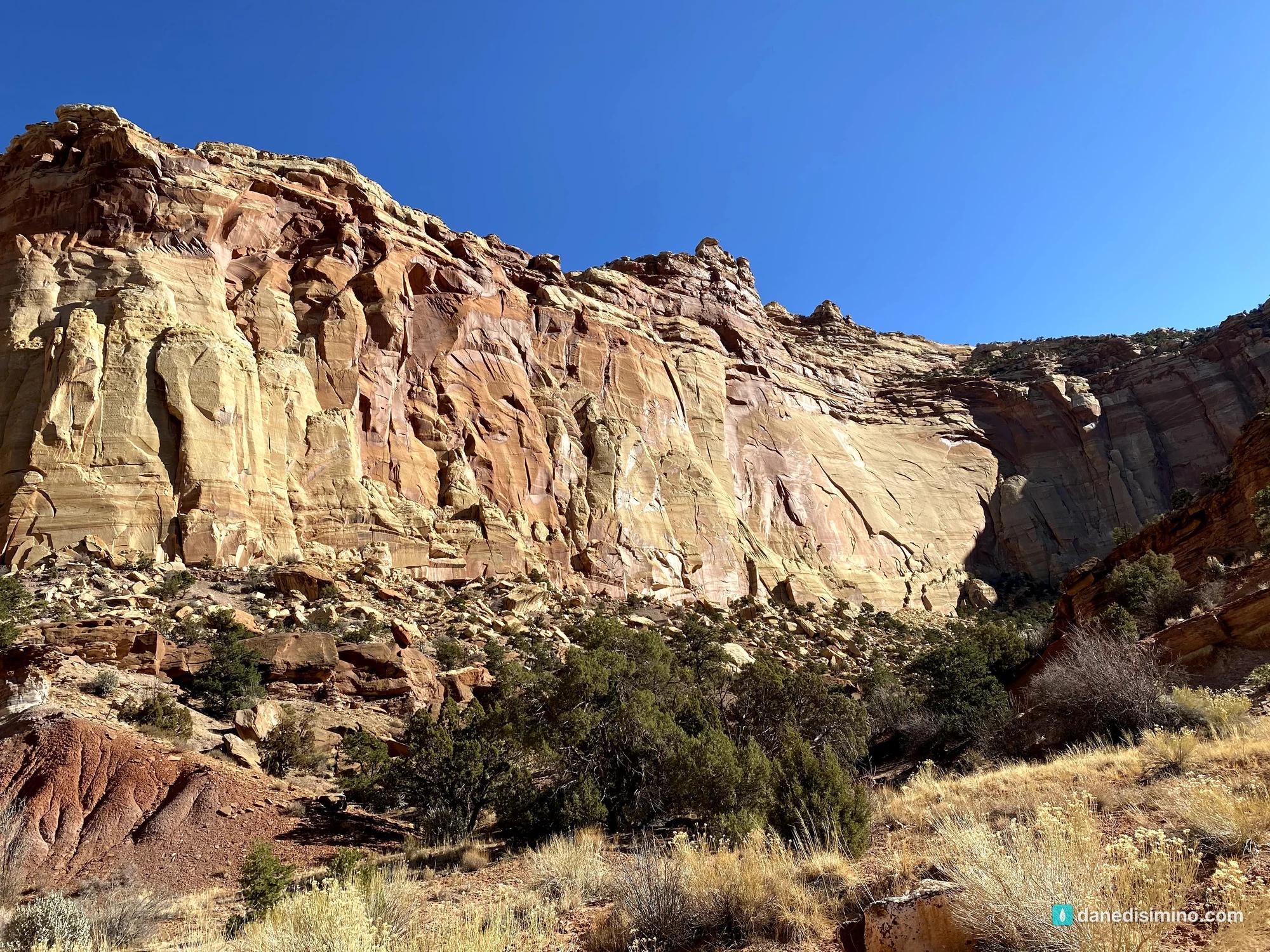

NATIONAL PARKS
Capitol Reef
A Field Guide
On this page
One November afternoon in Utah's hidden gem: the white domes that named the park, the Scenic Drive into Capitol Gorge, the old orchards and cottonwoods of Fruita, and Fremont petroglyphs carved into the cliffs. Why I'd plan it as a drive-through on a bigger Utah trip.
Version 1.1 · Updated Nov 17, 2026
Map
When to go
Average monthly visits, 2023–2025. Source: NPS visitor statistics. ● marks the months we visited.
| January | 16,138 |
|---|---|
| February | 19,552 |
| March | 89,373 |
| April | 150,667 |
| May | 207,945 |
| June | 173,003 |
| July | 121,098 |
| August | 109,176 |
| September | 186,017 |
| October | 183,301 |
| November | 66,404 |
| December | 37,267 |
In November 2020 I was moving from one job to another and had some time off between them. Utah has five national parks, and we'd only seen two of them, Arches and Canyonlands, on separate trips. So it was the perfect window. It was an exciting trip, and we made the most of it. Capitol Reef was the first stop on a four-park trip: Capitol Reef, Zion, the Grand Canyon's North Rim and Bryce Canyon.
Capitol Reef isn't one of those parks you have to see before you die, like the Grand Canyon. We didn't plan much time for it, and it was really a drive-through for us: one afternoon. But it's a hidden gem. The rock formations are beautiful, there's real history here, from ancient rock carvings to pioneer orchards, and the cottonwood trees look like they could talk, like the trees in The Lord of the Rings.
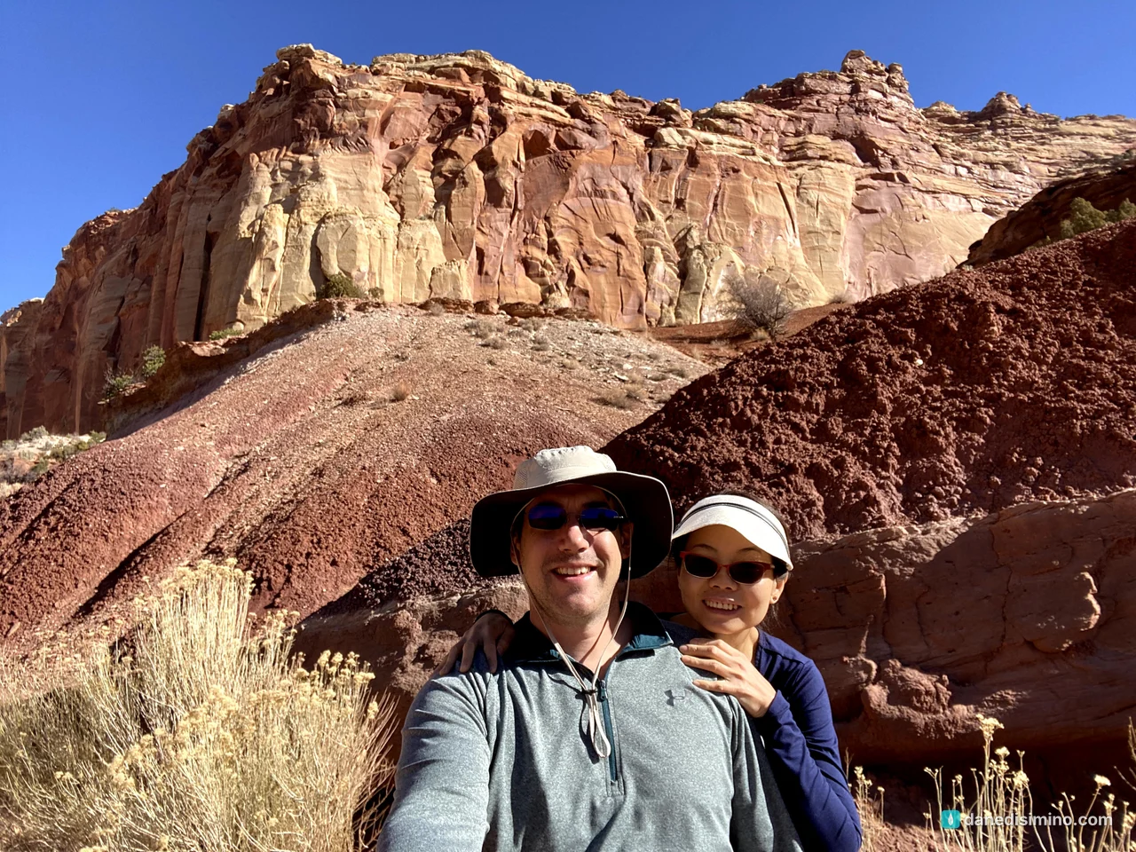
Not a see-it-before-you-die park. A hidden gem you'll be glad you didn't skip.
The short version
Plan it as a drive-through. Utah 24 runs right through the park, so it fits neatly into a bigger Utah trip. If you haven't seen Zion or Bryce Canyon yet, spend your extra days there.
Drive the Scenic Drive. It's 7.9 paved miles south from the visitor center, with dirt spurs into Grand Wash and Capitol Gorge.
See the petroglyphs. A short boardwalk on Utah 24 leads to Fremont rock carvings.
Stop in Fruita. Pioneer orchards, a historic farmhouse, and old cottonwoods along the Fremont River.
Look, don't take. The rocks here are beautiful, but collecting them is illegal in a national park.
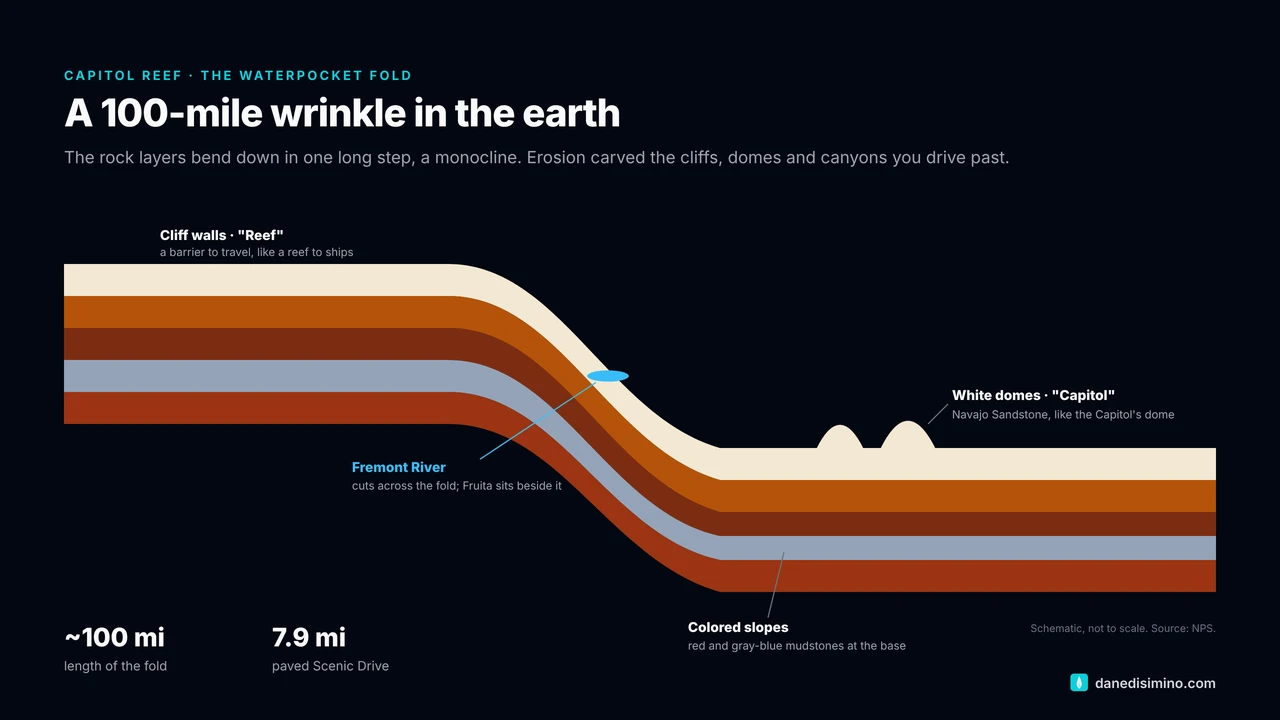
The park at a glance
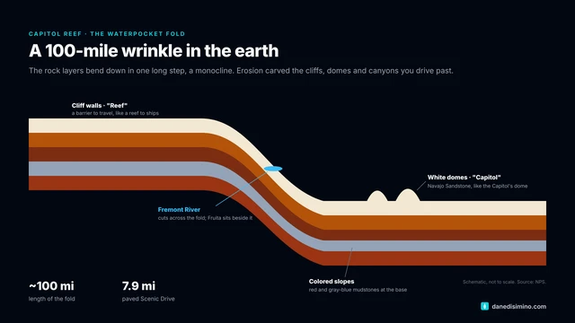
- ~100 mi
- The Waterpocket Fold
- 7.9 mi
- Paved Scenic Drive
- 300–1300
- Fremont culture, years C.E.
- $20
- Per vehicle for the Scenic Drive
Where: south-central Utah, on Utah 24 between Hanksville and Torrey.
Entrance fee: driving Utah 24 through the park is free. The $20 per-vehicle fee covers the Scenic Drive, paid at the self-pay station just south of the campground.
When: May is the busiest month and January the quietest. Spring and fall are ideal. Fruit-picking season in the orchards runs from June through mid-October.
Camping: Fruita Campground has 71 sites, open year-round and reservable on Recreation.gov.
Contact: nps.gov/care. In an emergency, call 911.
The name: domes and a reef
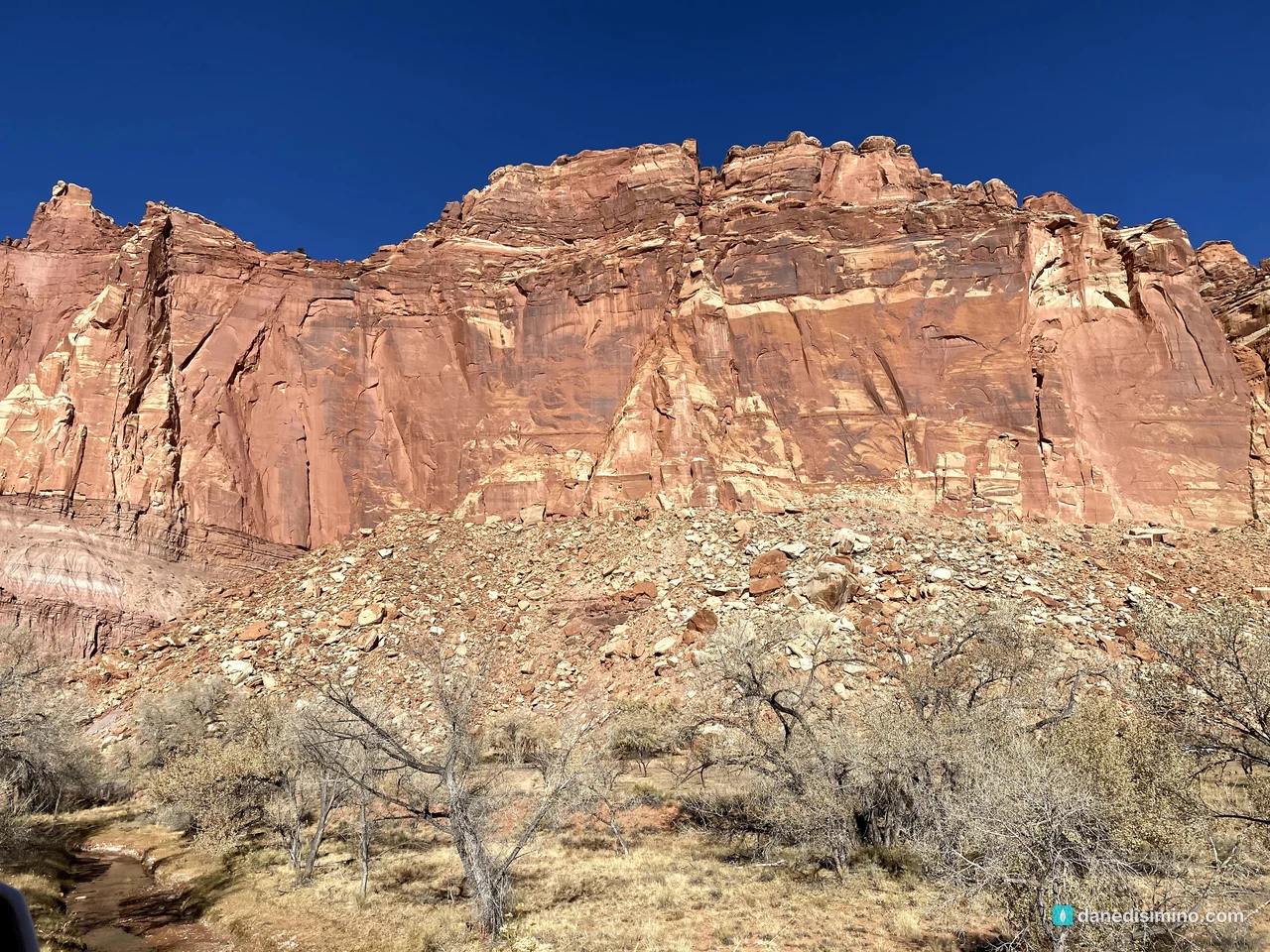
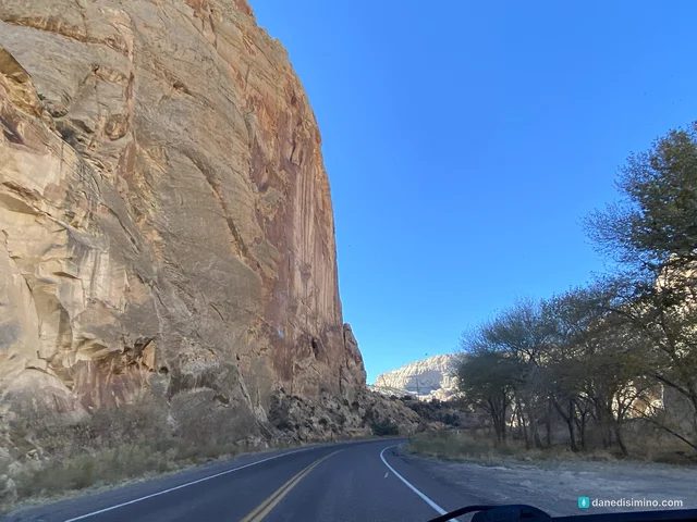
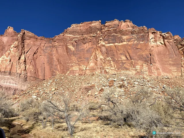
We came in from the east on Utah 24, after a morning at Colorado National Monument. The road follows the Fremont River, and the cliffs rise up on both sides.
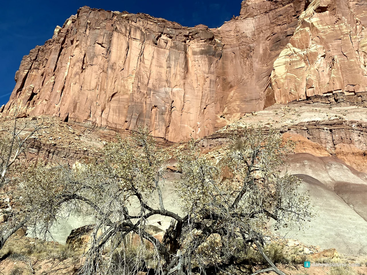
The first thing to look for is the white domes of Navajo Sandstone, like Navajo Dome and Capitol Dome, which reminded early settlers of the dome of the U.S. Capitol. That's "Capitol." "Reef" comes from the cliffs: a long barrier to travel, like a reef to a ship. Together they're the Waterpocket Fold, a 100-mile-long bend in the earth's crust.
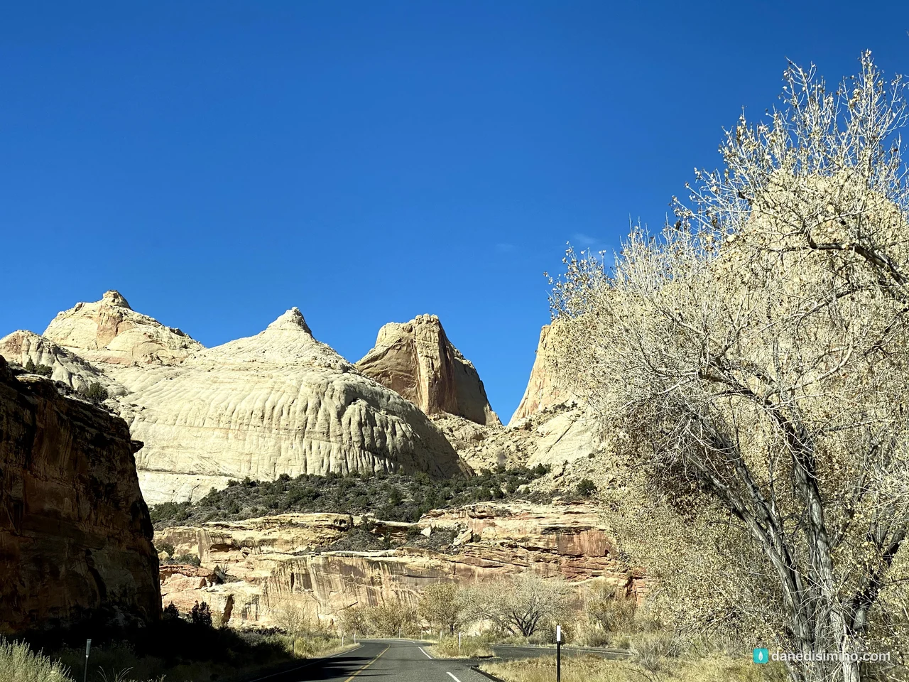
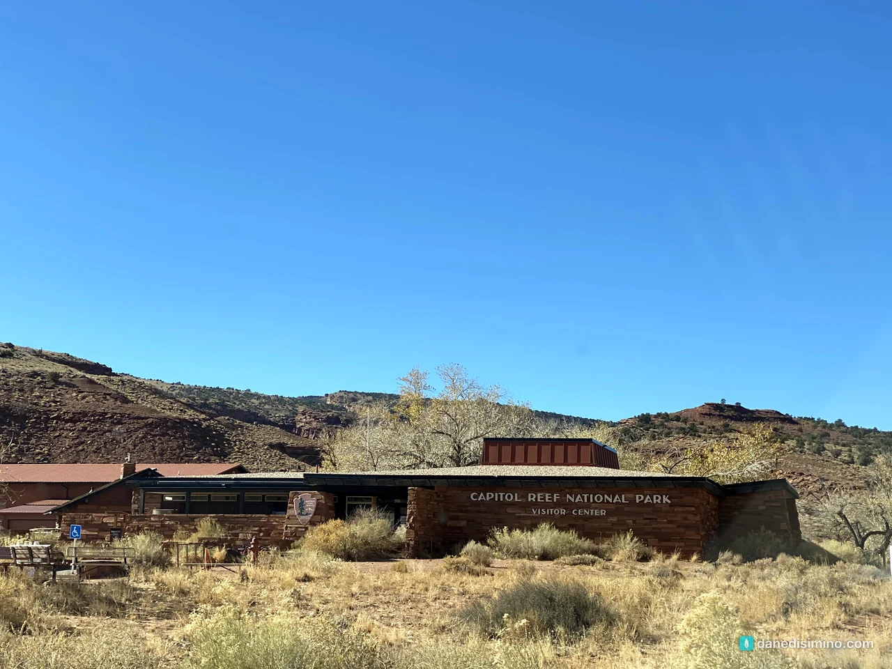
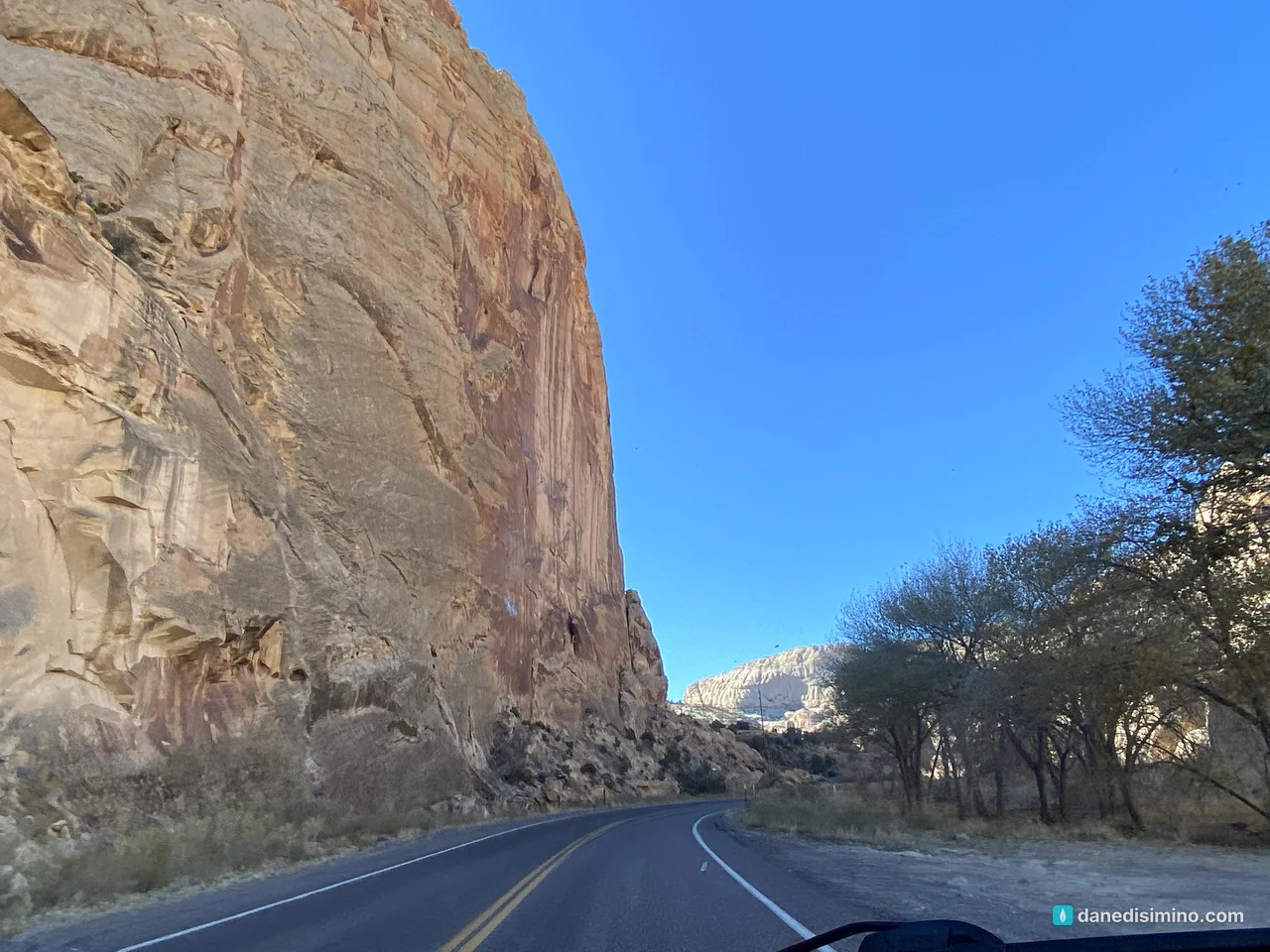
How it became a park. As early as 1914, local businessman Ephraim Pectol and his brother-in-law Joseph Hickman worked to protect the area, which locals called "Wayne Wonderland." Pectol and the Park Service settled on the name Capitol Reef in 1935, and President Franklin Roosevelt proclaimed Capitol Reef National Monument on August 2, 1937. President Richard Nixon signed the law making it a national park on December 18, 1971.
The Scenic Drive
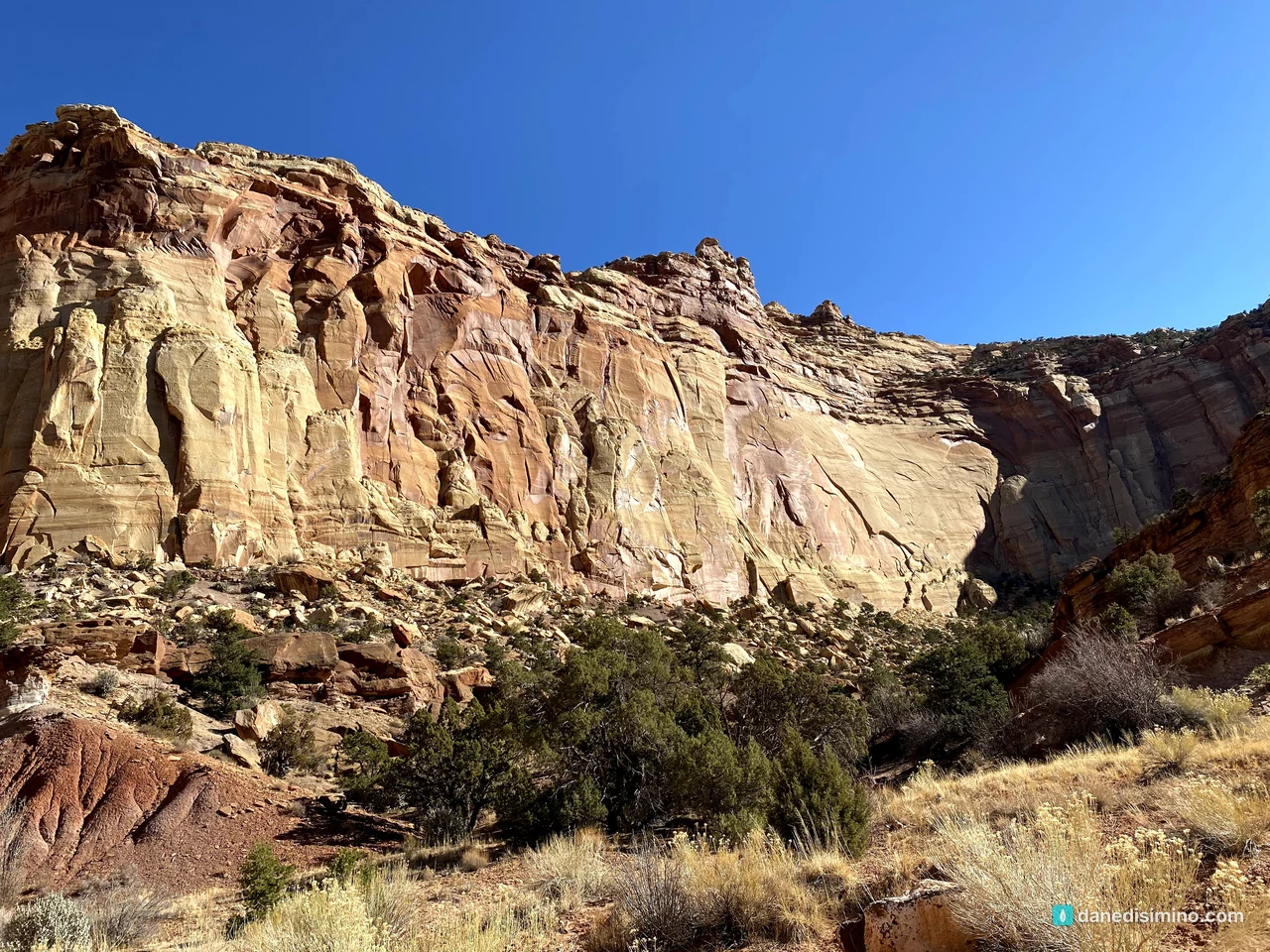
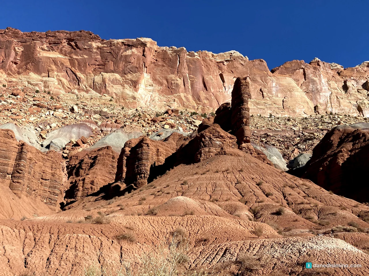
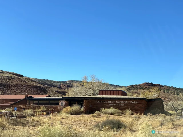
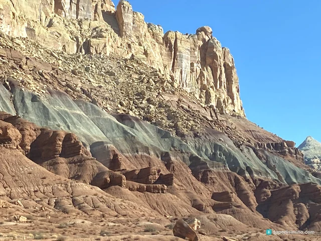
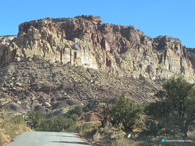
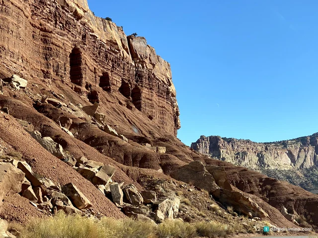
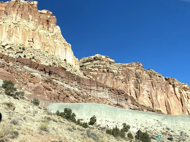
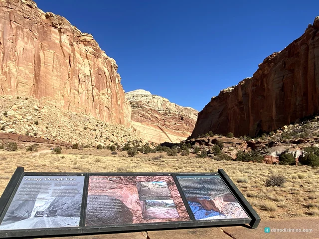
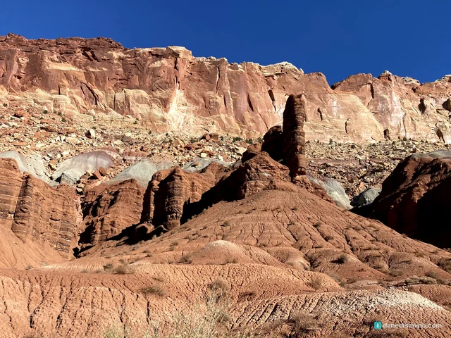
From the visitor center we drove the Scenic Drive south. It's the best way to see the reef up close: 7.9 paved miles past striped cliffs of red, cream and gray-blue rock. It isn't a loop, so you'll come back the same way, which means you see everything twice.
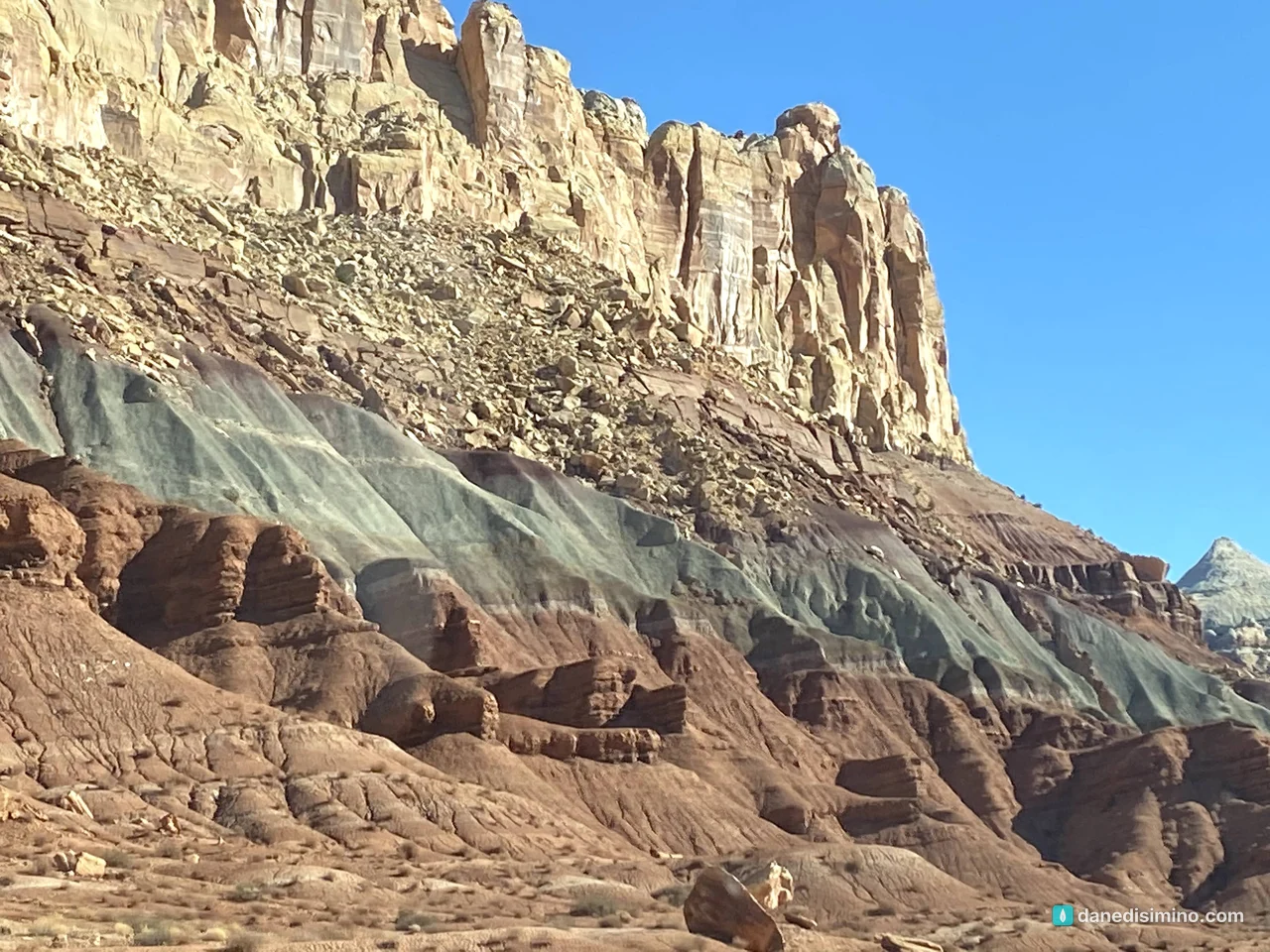
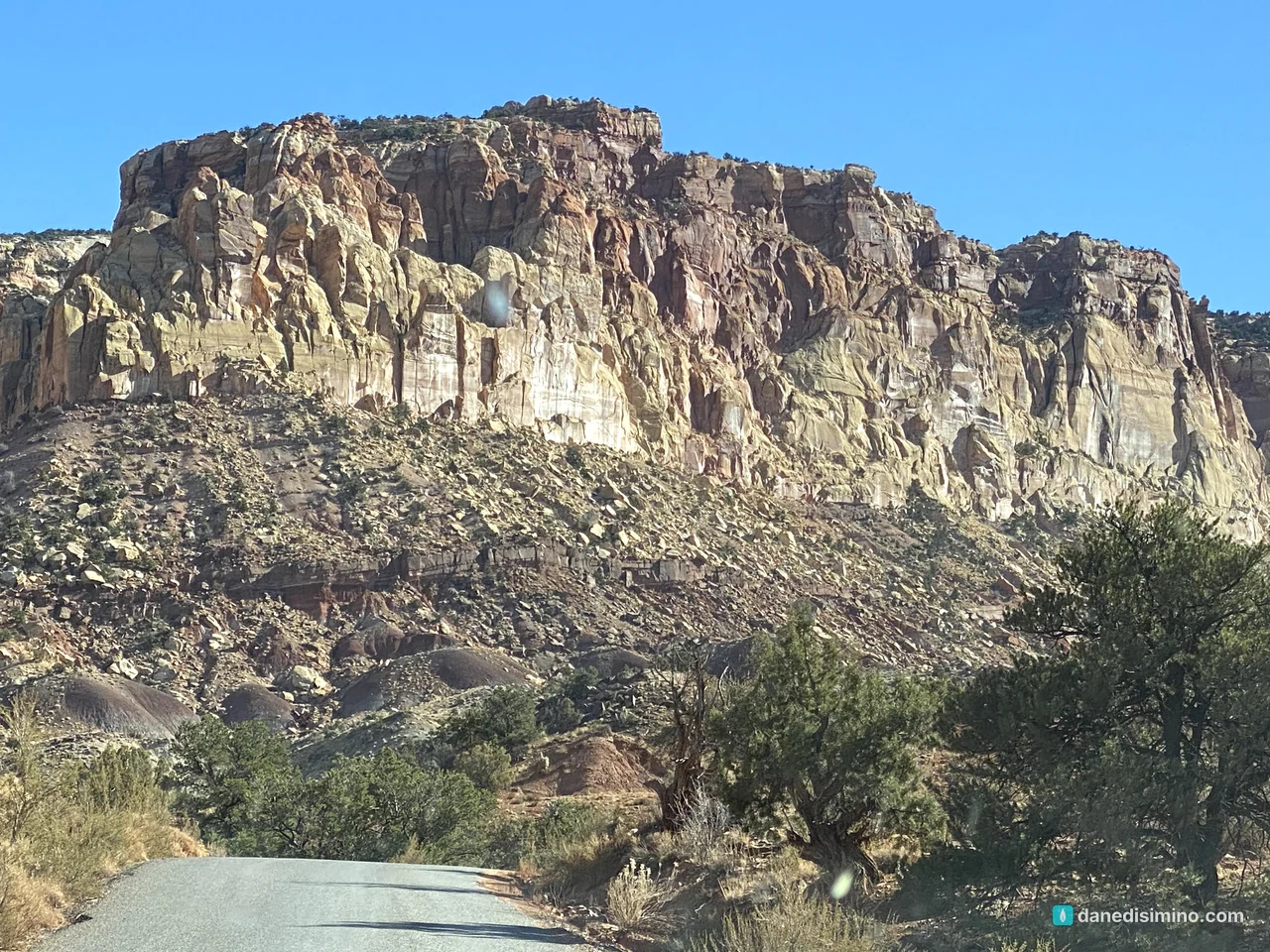
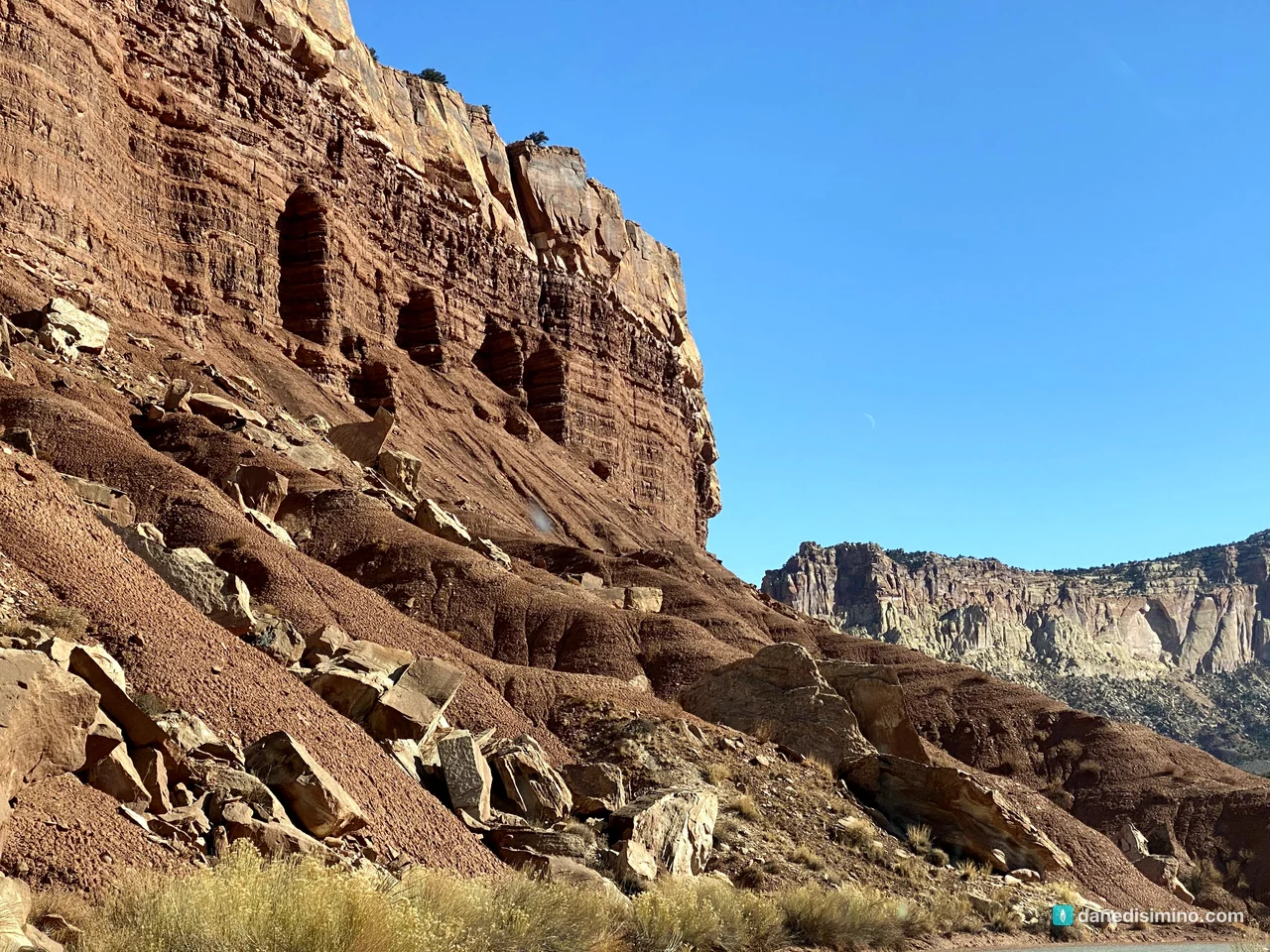
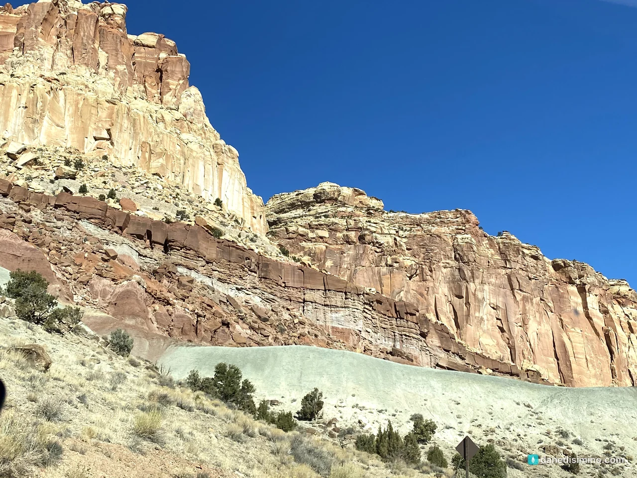
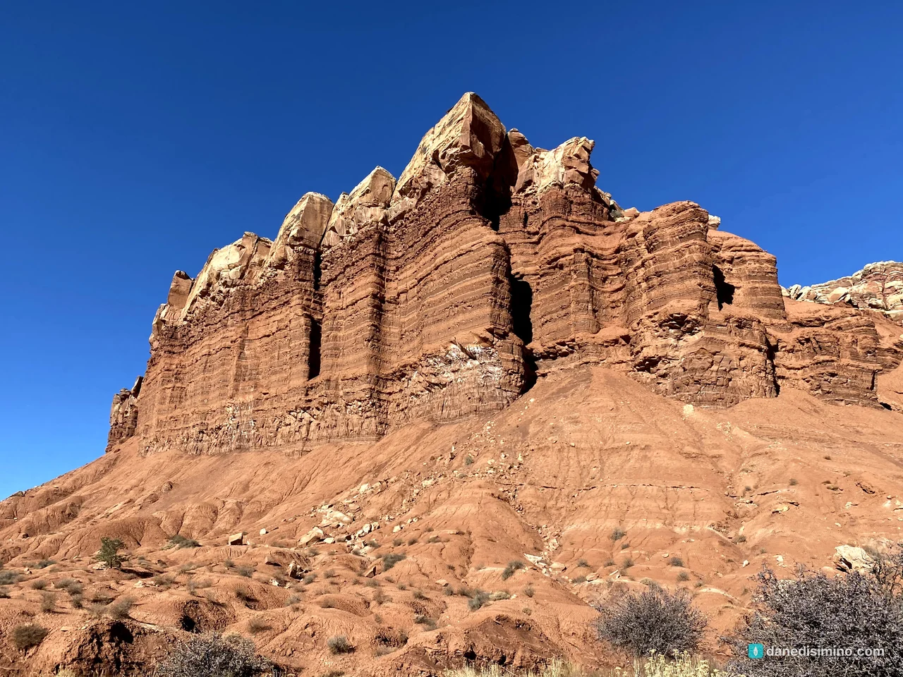
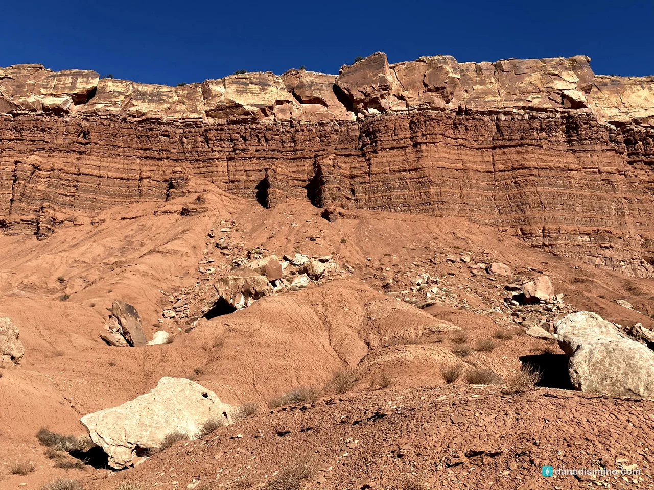
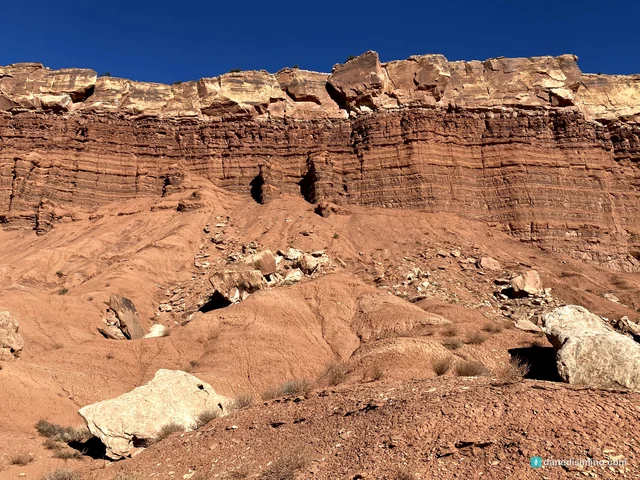
So much of the rock here is exposed by flash floods and erosion, and you can see layer after layer and all kinds of rocks along the road. It's a geology lesson you can drive through.
Capitol Gorge
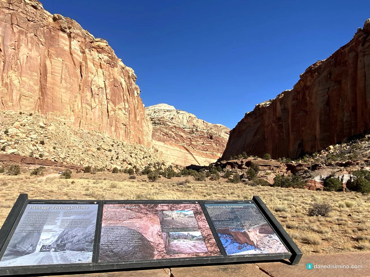
At the end of the pavement, a 2.4-mile dirt road leads into Capitol Gorge. Until Utah 24 was finished in 1962, this narrow canyon was the only road east through the reef. The road ends at a trailhead, and we walked a short way in among the canyon walls.
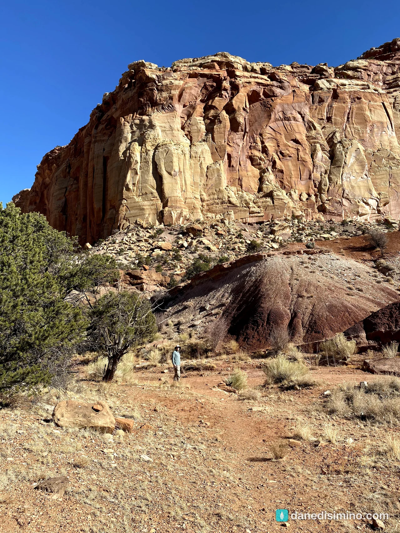
About half a mile down the trail is the Pioneer Register, where prospectors, settlers and travelers carved their names into the canyon wall starting in 1871. Desert bighorn sheep live in the gorge too; they were gone from the area by the 1940s and were brought back in the late 1990s.
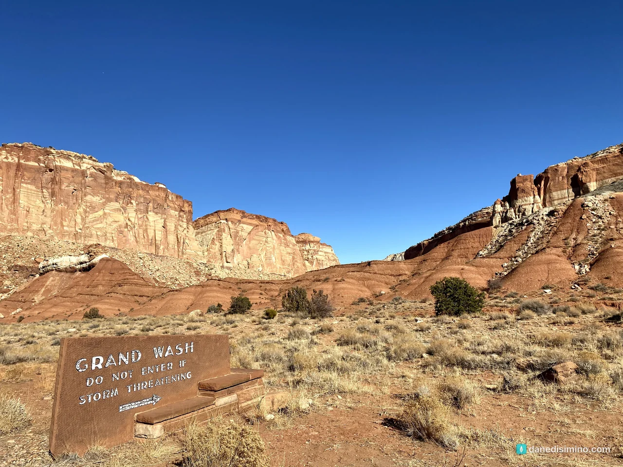
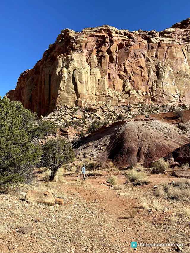
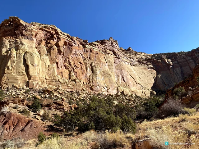
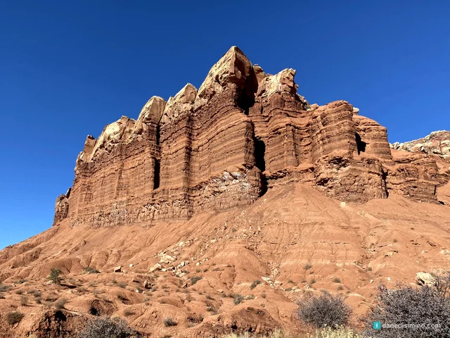
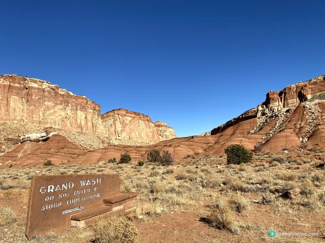
On the way back north we stopped at more of the cliffs and spires along the drive, and passed the turnoff for Grand Wash, another dirt spur into a canyon.
Fruita: orchards and old trees
Back at the north end of the drive is Fruita, a pioneer community settled in 1880 along the Fremont River. No more than 10 families lived here at a time, and the last resident left in 1969. Their orchards are still here, along with the historic Gifford farmhouse and barn.
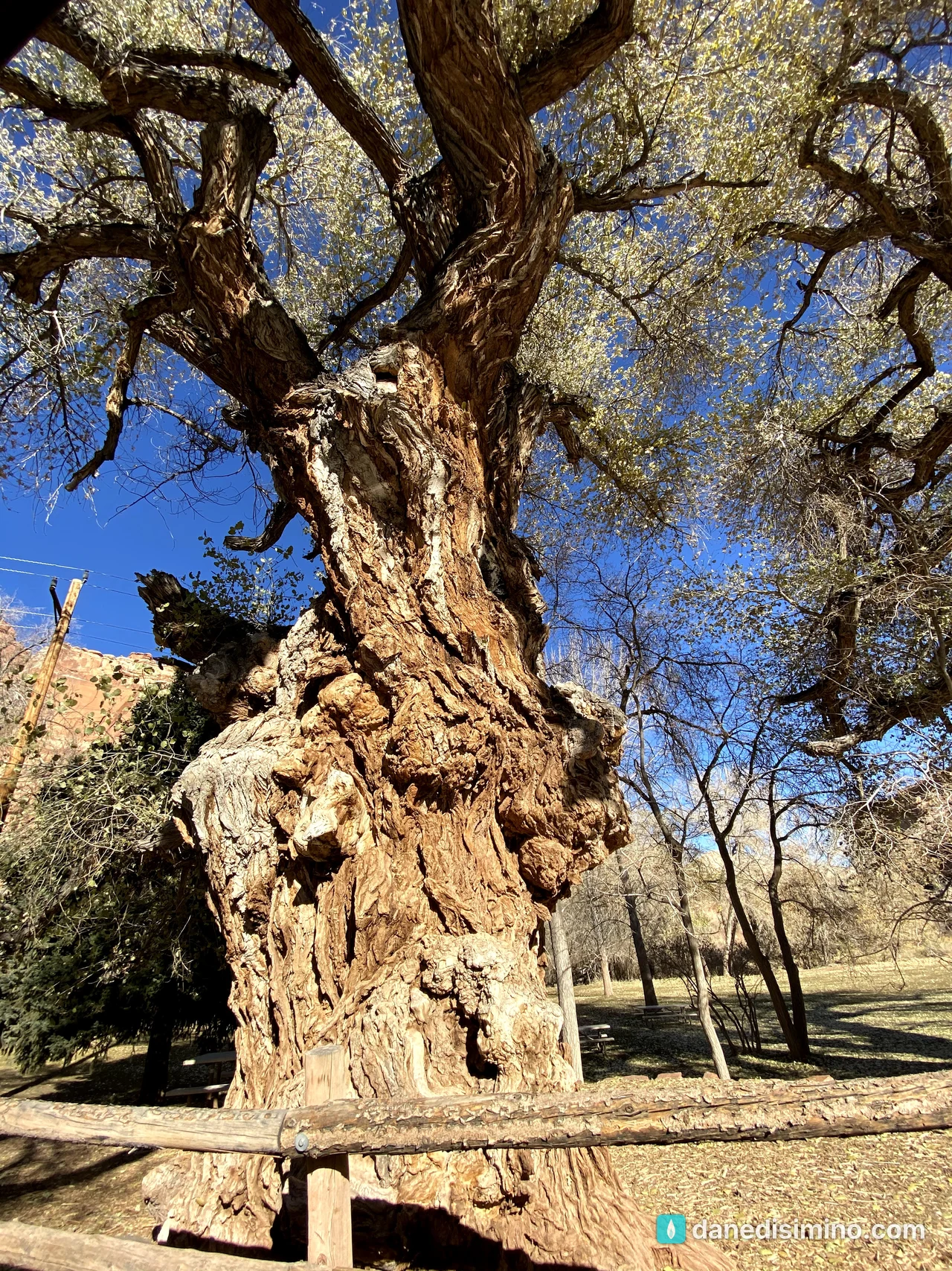
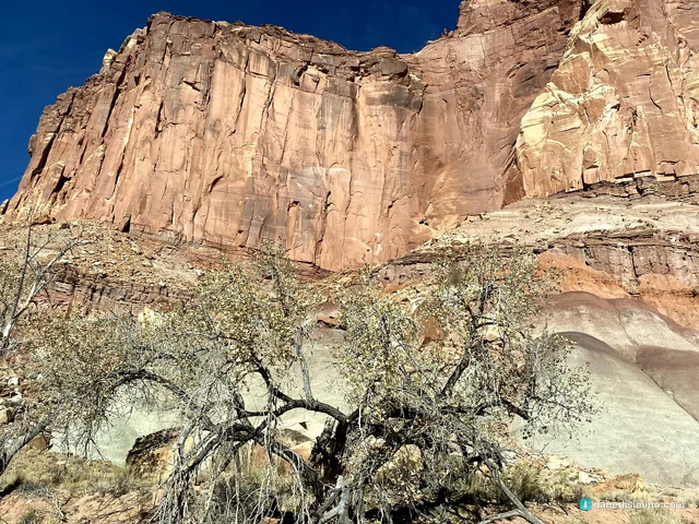
And then there are the trees. Huge, gnarled Fremont cottonwoods grow along the river, twisted and full of character. If trees could talk, these would.
Stories in stone
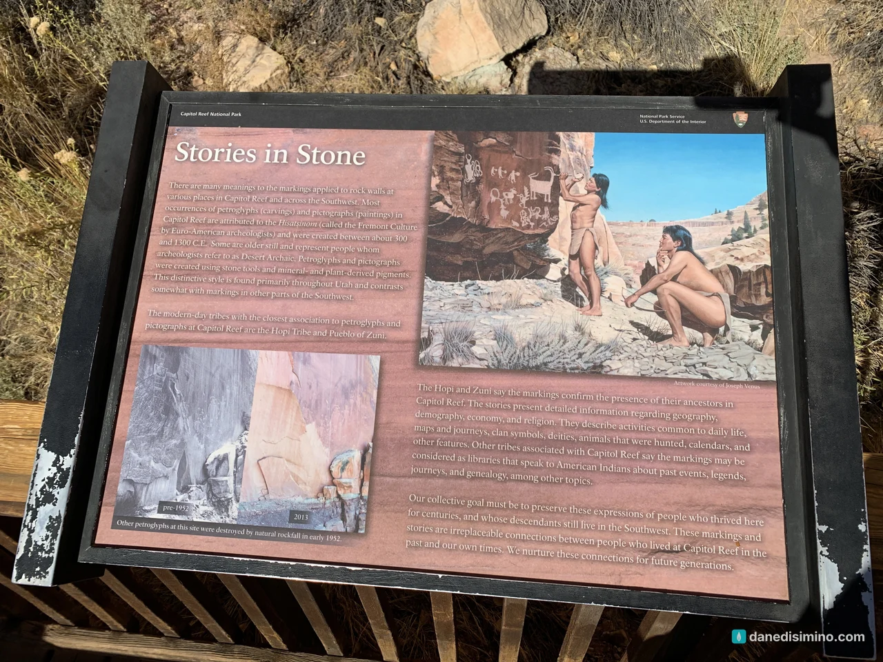
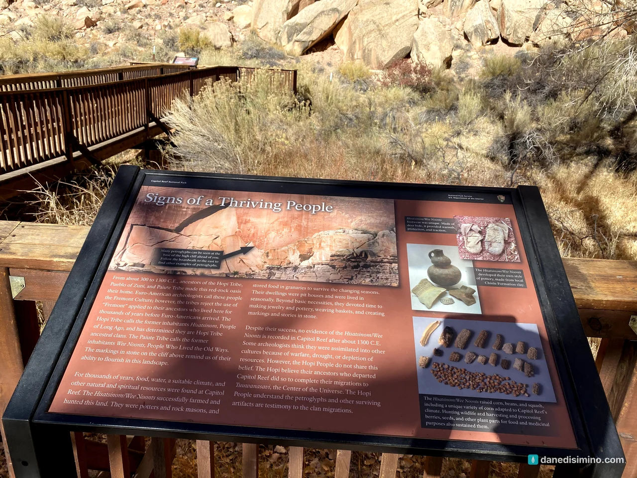
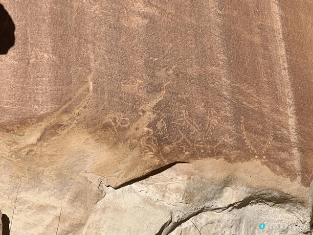
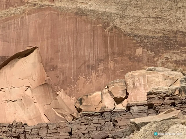
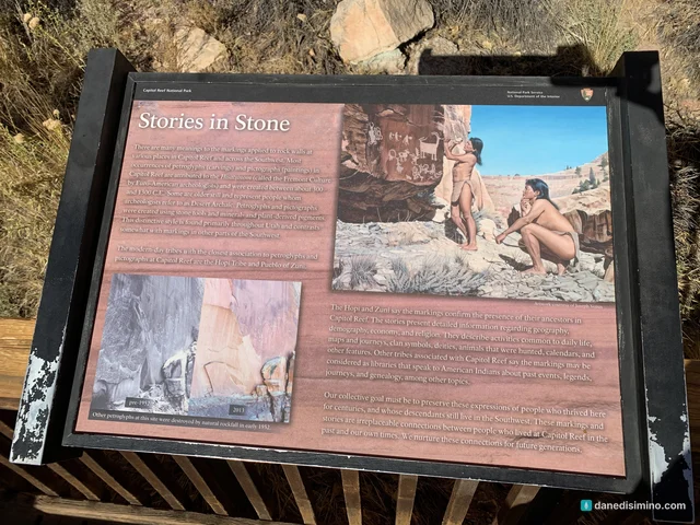
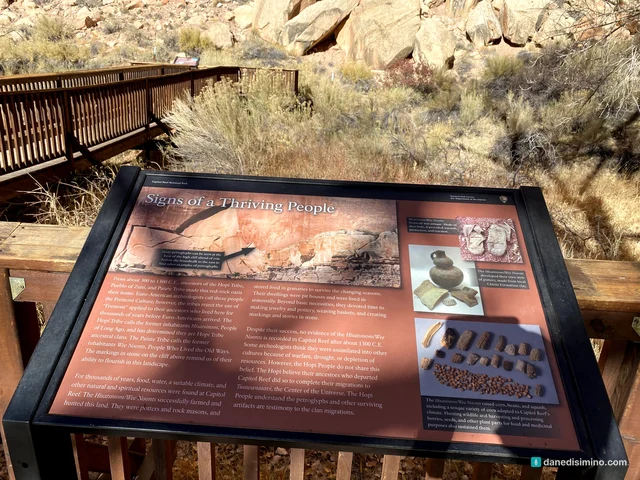
Just east of Fruita on Utah 24, a short boardwalk runs along the base of a tall cliff covered in petroglyphs. They were carved by the people archaeologists call the Fremont culture, who lived here from about 300 to 1300 C.E. They farmed corn, beans and squash, made pottery and baskets, and carved figures of people and bighorn sheep into the rock. The Hopi Tribe calls them the Hisatsinom, the People of Long Ago, and the Hopi, Zuni and Paiute all trace ancestry to them.
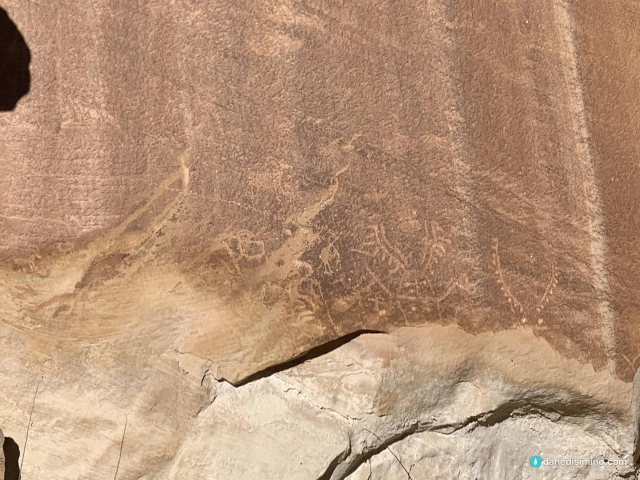
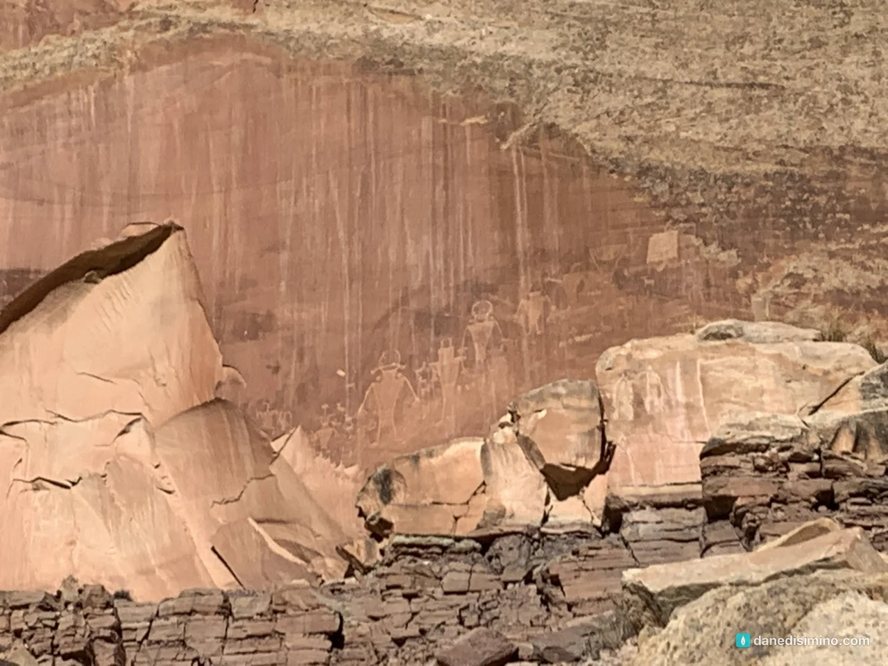
Bring binoculars. The carvings are faint and high on the wall, and they're easier to see in the morning or evening light.
Panorama Point
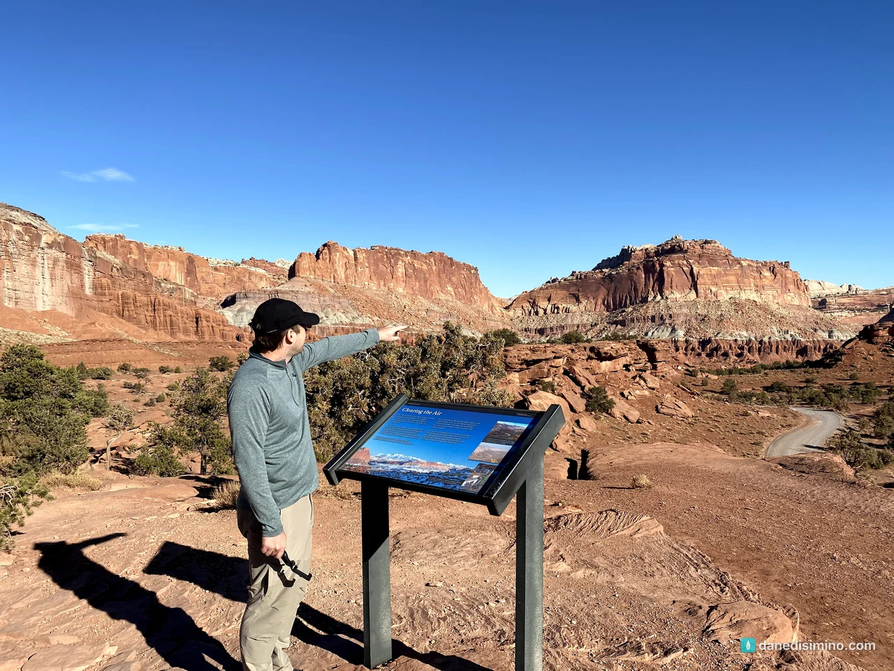
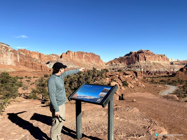
Our last stop was Panorama Point, 2.5 miles west of the visitor center on Utah 24. A very short walk leads to a 360-degree view of the cliffs, and the colors get richer toward sunset. Then we kept driving west.
How to fit it into a Utah trip
In all likelihood, you won't have the time carved out to explore Capitol Reef deeply, especially if you haven't seen Zion or Bryce Canyon yet. So here's what I recommend:
Drive through on Utah 24. It connects I-70 to Torrey, where scenic Utah 12 heads southwest toward Bryce Canyon.
Give it half a day. The visitor center, the Scenic Drive, Capitol Gorge, Fruita, the petroglyphs and Panorama Point fit in an afternoon.
Want a real hike? Hickman Bridge, a natural stone bridge, is one of the park's most popular short hikes, and it starts on Utah 24 just east of the petroglyphs.
Come back later. The remote Cathedral Valley and the southern Waterpocket Fold are for another trip with a high-clearance vehicle and more time.
What I'd do differently
Go in fruit season. A slice of pie at the Gifford House and an orchard full of apples would make the stop even better.
Hike to the Pioneer Register. It's only half a mile into Capitol Gorge.
Stay for the stars. Capitol Reef is a certified International Dark Sky Park, and Panorama Point is a great place to look up.
What Capitol Reef taught me
Capitol Reef taught me that people have always wanted to leave a mark. The Fremont carved bighorn sheep into the cliffs. Pioneers carved their names into the walls of Capitol Gorge. Both are still there, telling us someone came this way.
"We will use these stones to build a memorial. In the future your children will ask you, 'What do these stones mean?'" (Joshua 4:6, NLT)
What we leave behind should point to what God has done.
Questions?
Ask me anything about Capitol Reef: fitting it into a Utah road trip, the Scenic Drive, the petroglyphs, or fruit season in Fruita. I answer every question.
Photos
Sources
- Capitol Reef National Park (NPS)
- The Scenic Drive (NPS)
- Scenic Drive Stop 9: Capitol Gorge (NPS)
- Pioneer Register (NPS)
- Navajo Dome Viewpoint (NPS)
- Capitol Dome (NPS)
- Petroglyph Panel (NPS)
- Fruita Orchards (NPS)
- Gifford House (NPS)
- Panorama Point (NPS)
- Fees and passes (NPS)
- Fruita and U-Pick Orchards (Visit Utah)
- Park founders (NPS)
Pathlight
Park guides from the road. A printable trip sheet comes with them when one is ready.