
NATIONAL MONUMENTS · OUR FIRST
Colorado National Monument
A Field Guide
On this page
Our first national monument: two hours on Rim Rock Drive on the way from Colorado to Utah. Independence Monument, deep red-rock canyons, John Otto's story, and a herd of bighorn sheep resting by the road. How to fit it into a road trip west.
Version 1.1 · Updated Nov 17, 2026
Map
Colorado National Monument was our first national monument, and a special treat on the way from Colorado to Utah. If you're driving west on I-70, I highly recommend taking two hours to pull in and see the views.
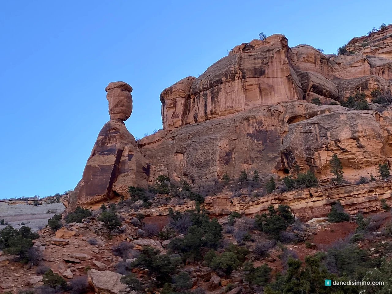
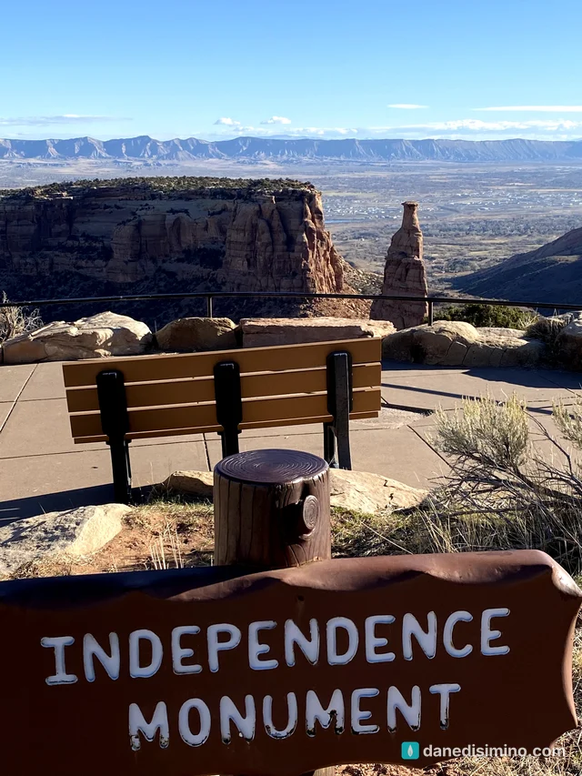
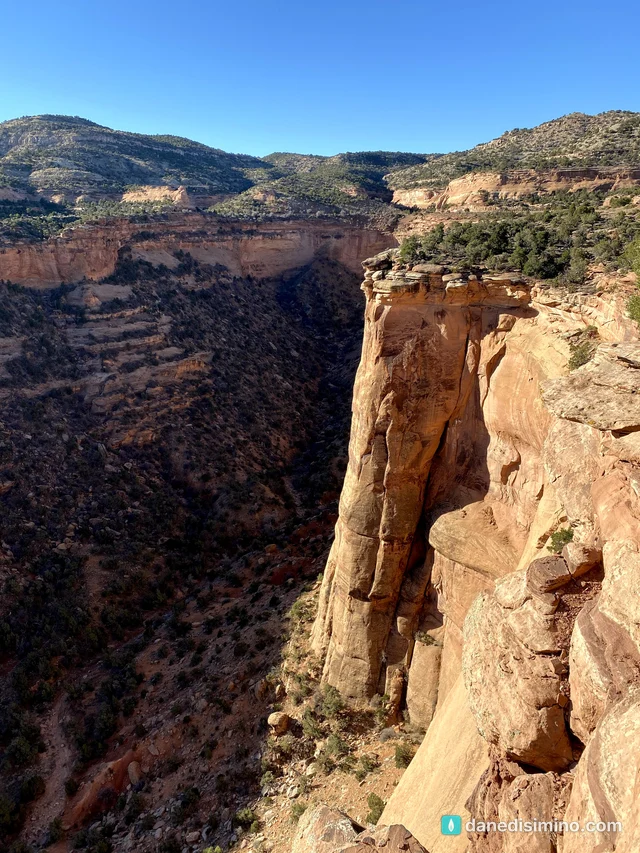
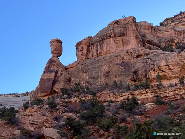
It's probably a close runner-up to being a national park. There are some spectacular things to see: deep red-rock canyons, tall spires, and Independence Monument, a sandstone tower standing alone in the middle of a canyon. It isn't on the same level as Arches, so I can see why it's still a monument. But it's absolutely worth the detour.
We drove through on the morning of November 19, 2020, on the way to Capitol Reef, the first stop on a four-park trip: Capitol Reef, Zion, the Grand Canyon's North Rim and Bryce Canyon.
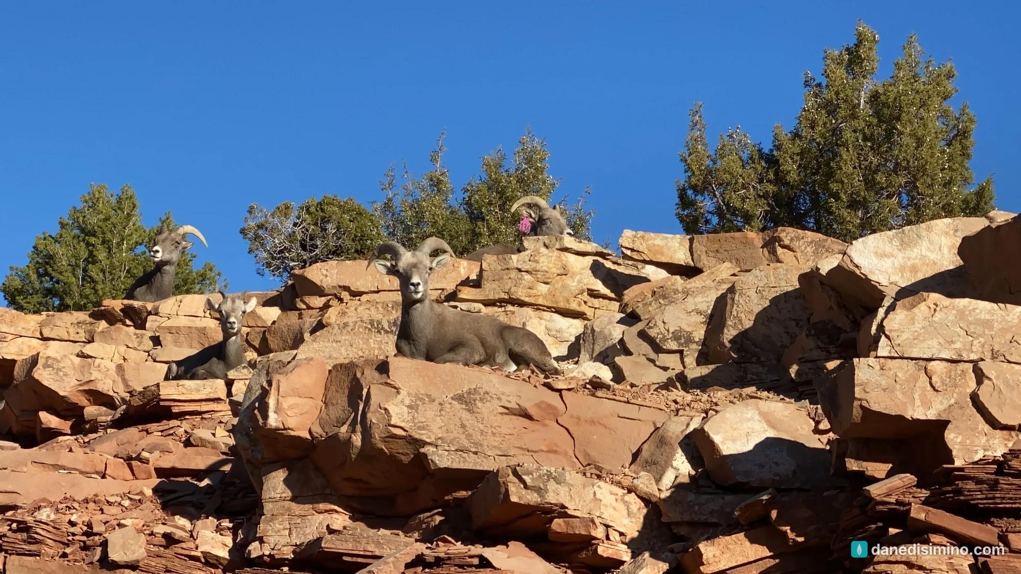
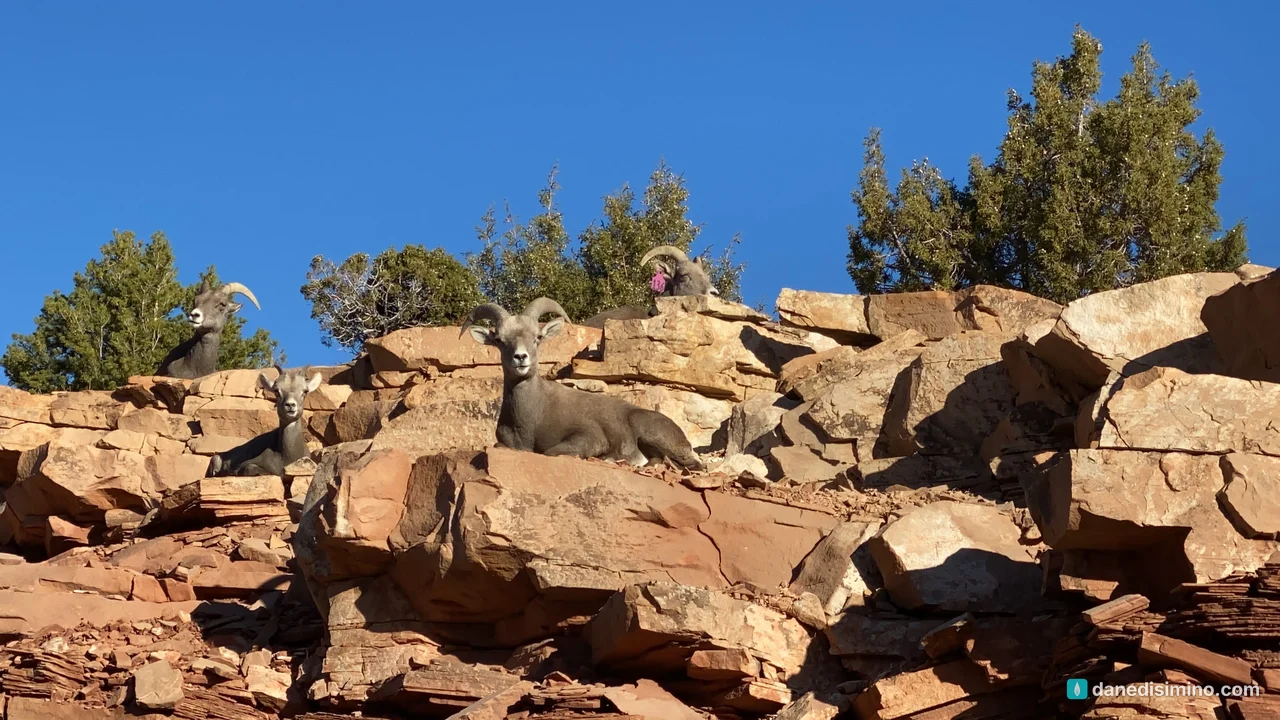
Just two hours off the interstate, and one of my favorite wildlife photos ever.
The short version
Treat it as a detour, not a destination. Two hours on Rim Rock Drive is enough to see the highlights on your way west.
Drive the whole road. Rim Rock Drive is 23 miles between Grand Junction and Fruita, and it rejoins I-70 at both ends.
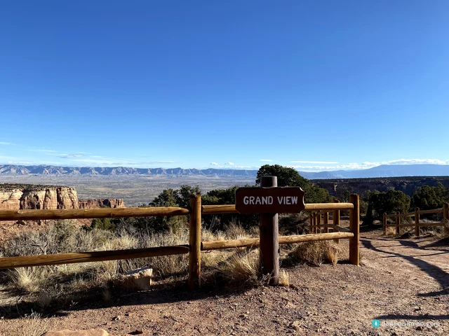
Stop at Independence Monument View and Grand View. They're the classic overlooks.
Watch for bighorn sheep. They rest on the rocks right beside the road. Drive slowly.
Want more time? Camp at Saddlehorn Campground and hike one of the short rim trails.
The monument at a glance
- 23 mi
- Rim Rock Drive, end to end
- 450 ft
- Independence Monument
- 1911
- Proclaimed a national monument
- $25
- Per vehicle, good for 7 days
Where: western Colorado, right outside Grand Junction and Fruita, just off I-70.
Entrance fee: $25 per vehicle, good for seven days. Your America the Beautiful pass covers it.
The road: Rim Rock Drive is paved and two lanes, with switchbacks and tunnels. It was built mostly by the Civilian Conservation Corps in the 1930s and '40s.
Camping: Saddlehorn Campground, near the visitor center, has 80 sites.
Contact: nps.gov/colm. In an emergency, call 911.
Park or monument?
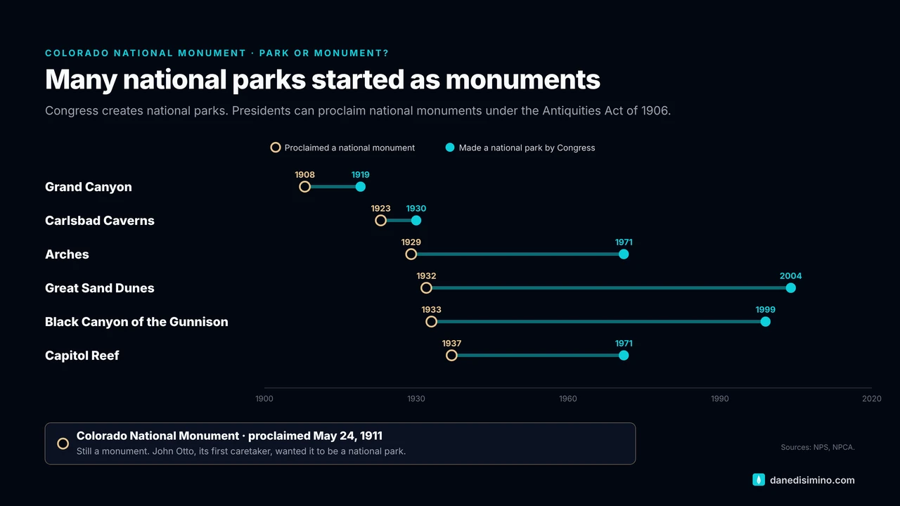
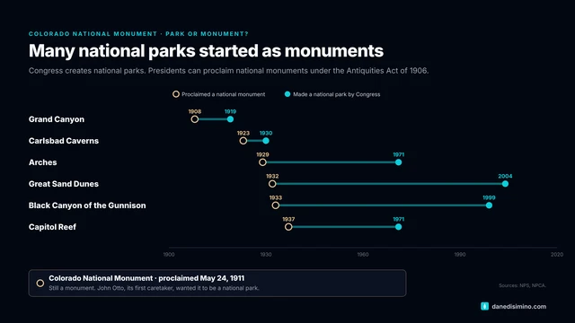
Here's the difference. Congress creates national parks by passing a law. Presidents can proclaim national monuments on federal land, using the Antiquities Act of 1906. Many of the parks we love started as monuments: the Grand Canyon, Arches, Great Sand Dunes, Black Canyon of the Gunnison and Capitol Reef were all monuments first. Colorado National Monument was proclaimed by President William Howard Taft on May 24, 1911, and it's still a monument today.
The rocks connect the parks
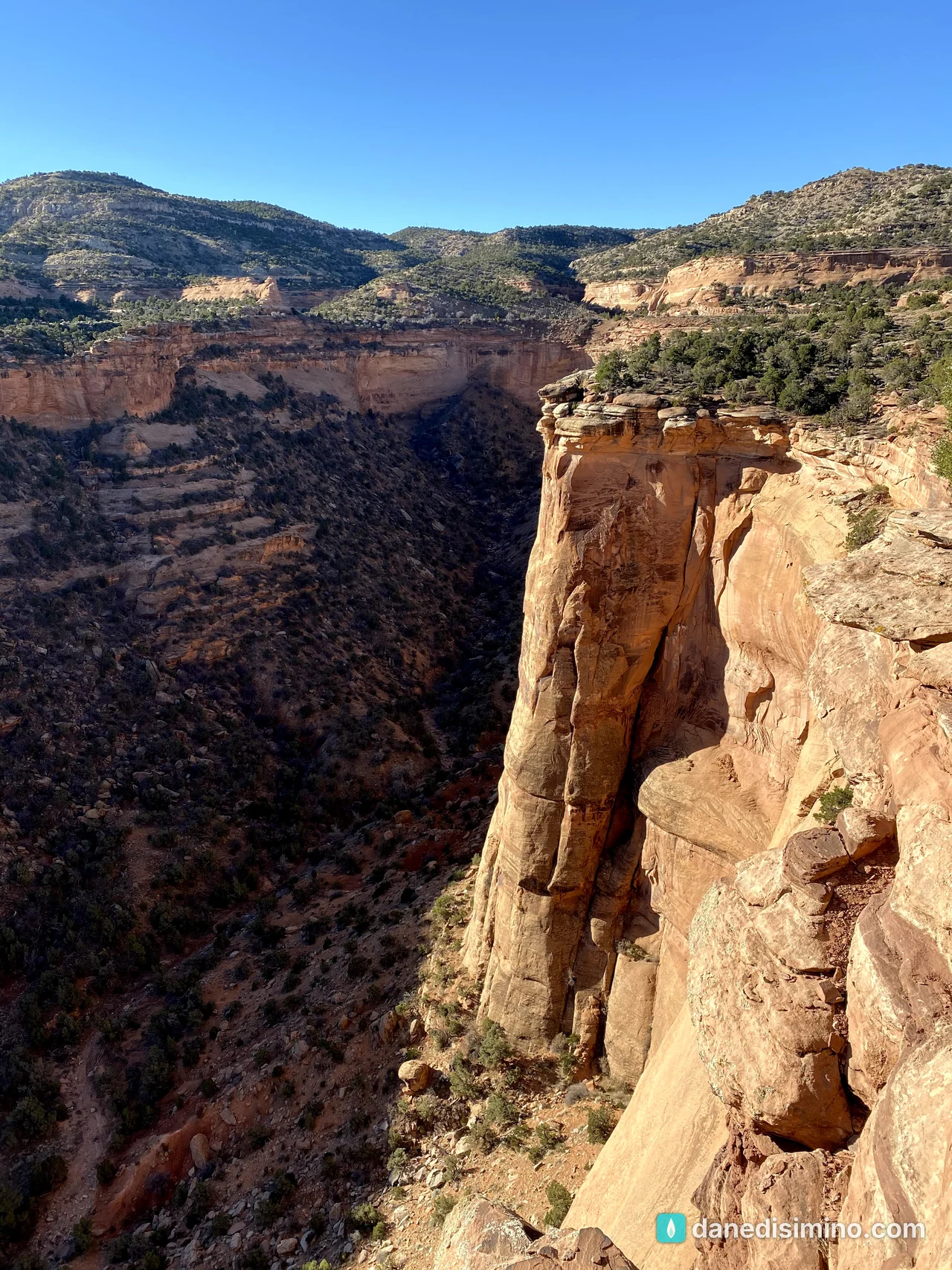
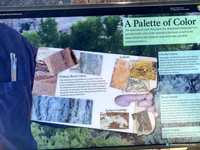
Geology is the main reason the monument was protected. Taft's 1911 proclamation called its erosion "of great scientific interest." The canyon walls read like a newsfeed: the newest layers on top, older ones as you scroll down, with some chapters missing entirely.
What makes it fun is how the layers tie into other parks we've visited:
The canyon bottoms are ancient Precambrian rock, the same rock on full display at Black Canyon of the Gunnison.
The smooth sandstone along Rim Rock Drive is the Entrada Sandstone, the main arch-forming layer at Arches.
The Morrison Formation in the highlands is the same layer that produces dinosaur fossils at Dinosaur National Monument.
Erosion keeps reshaping the cliffs with every storm.
John Otto, trail builder
The monument exists because of one man. John Otto came to these canyons in 1906 and wrote that they felt "like the heart of the world." He decided to stay, build trails and promote the place, because he believed it should be a national park. He led tours, wrote letters to presidents and rallied the community until Taft signed the proclamation.
Otto became the monument's first caretaker for $1 a month. He lived in a tent with his horse and burros and built trails by hand. He named many of the formations, including Independence Monument.
Driving Rim Rock Drive
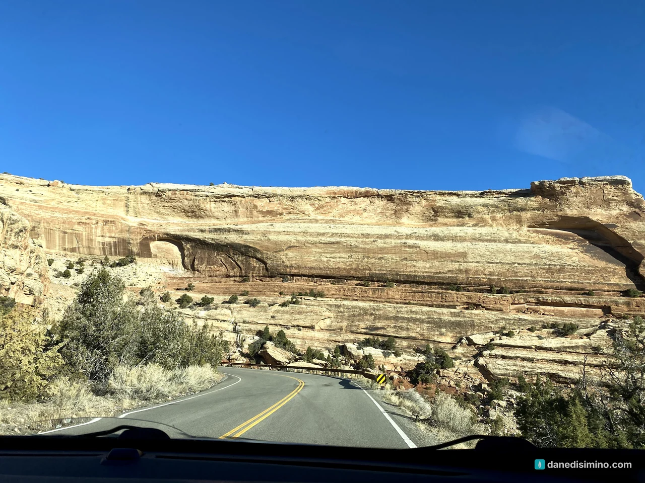
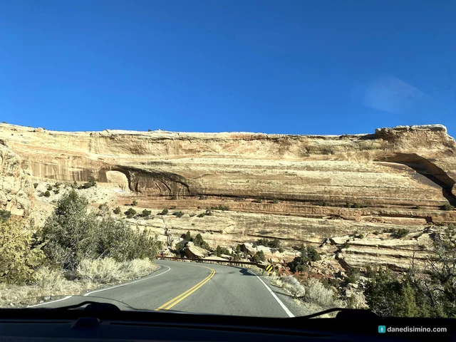
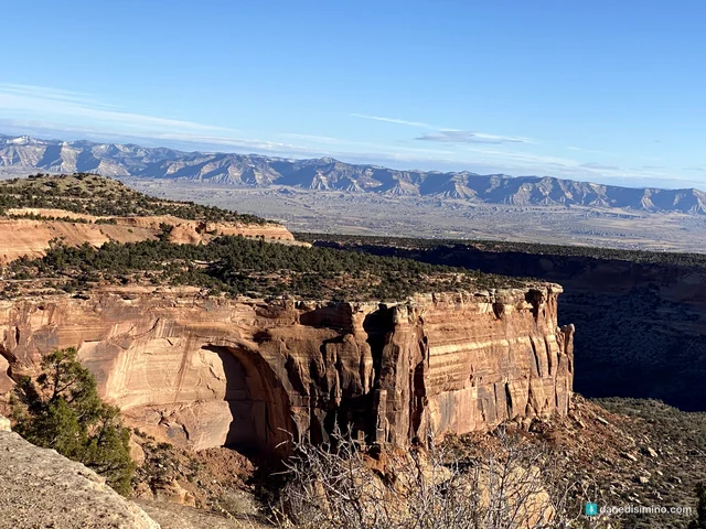
We came in from the Grand Junction side early in the morning and drove west. The road climbs switchbacks onto the mesa, then runs along the canyon rims. The overlooks come one after another, with the Grand Valley spread out below and the Book Cliffs on the horizon.
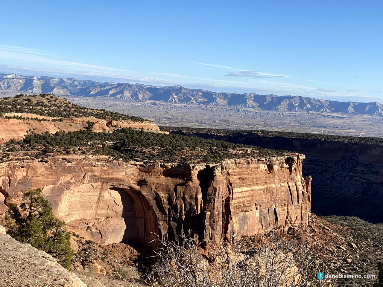
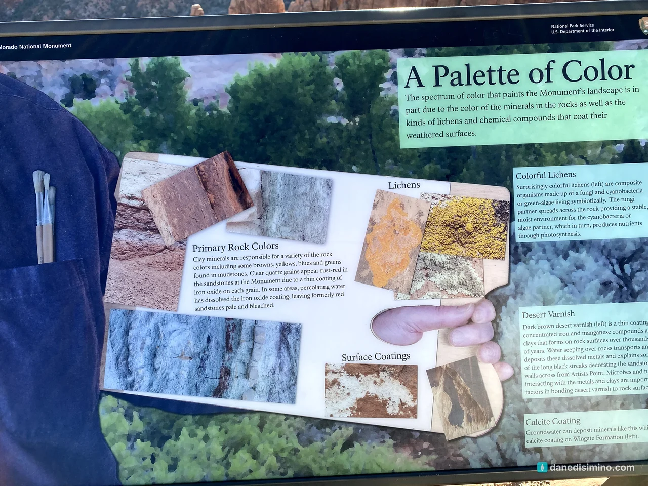
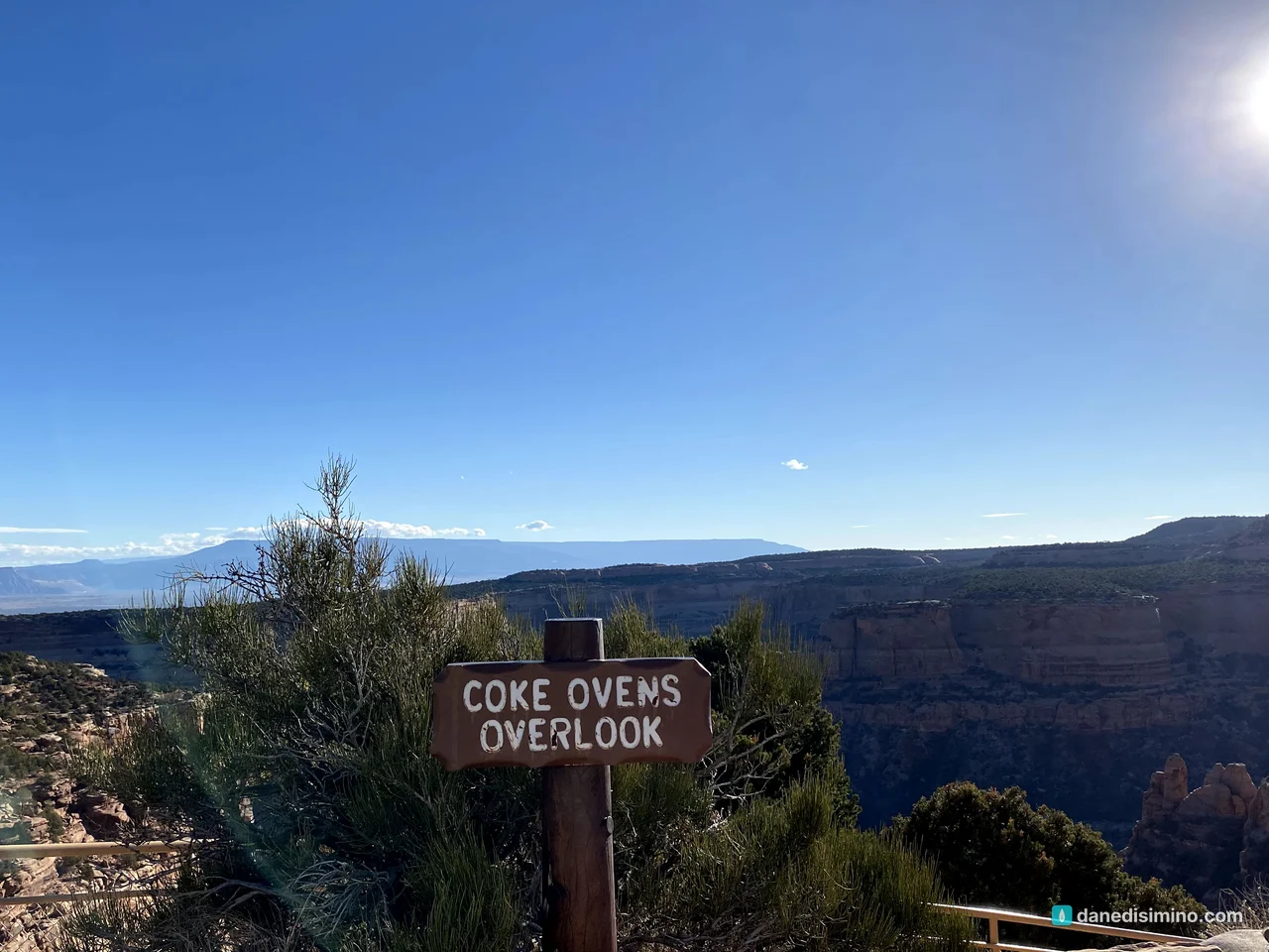
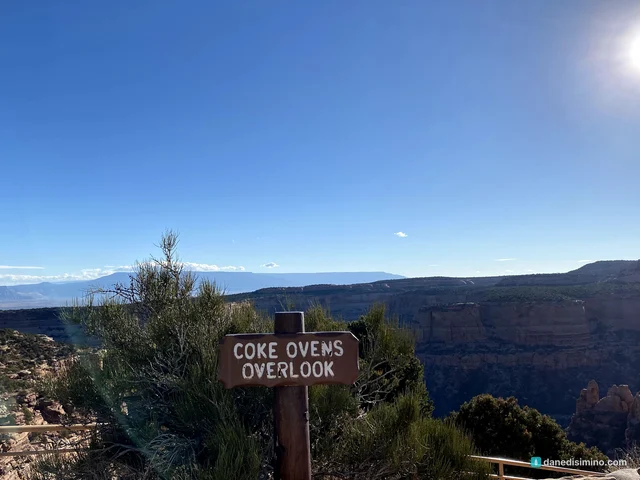
At Coke Ovens Overlook, you look down on a row of rounded sandstone domes named for their resemblance to old coke ovens. The easy Coke Ovens Trail starts nearby, a half mile each way.
Independence Monument
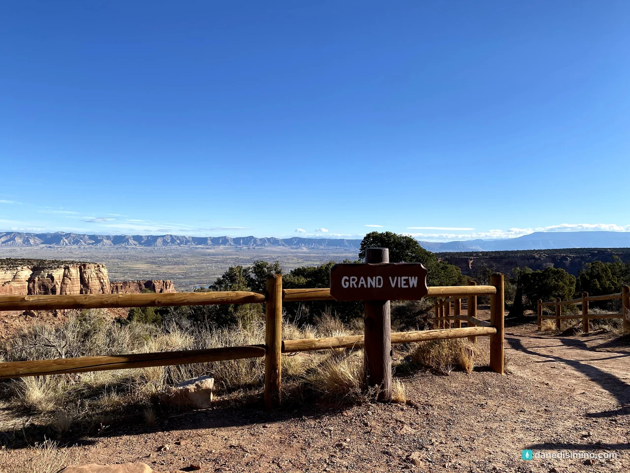
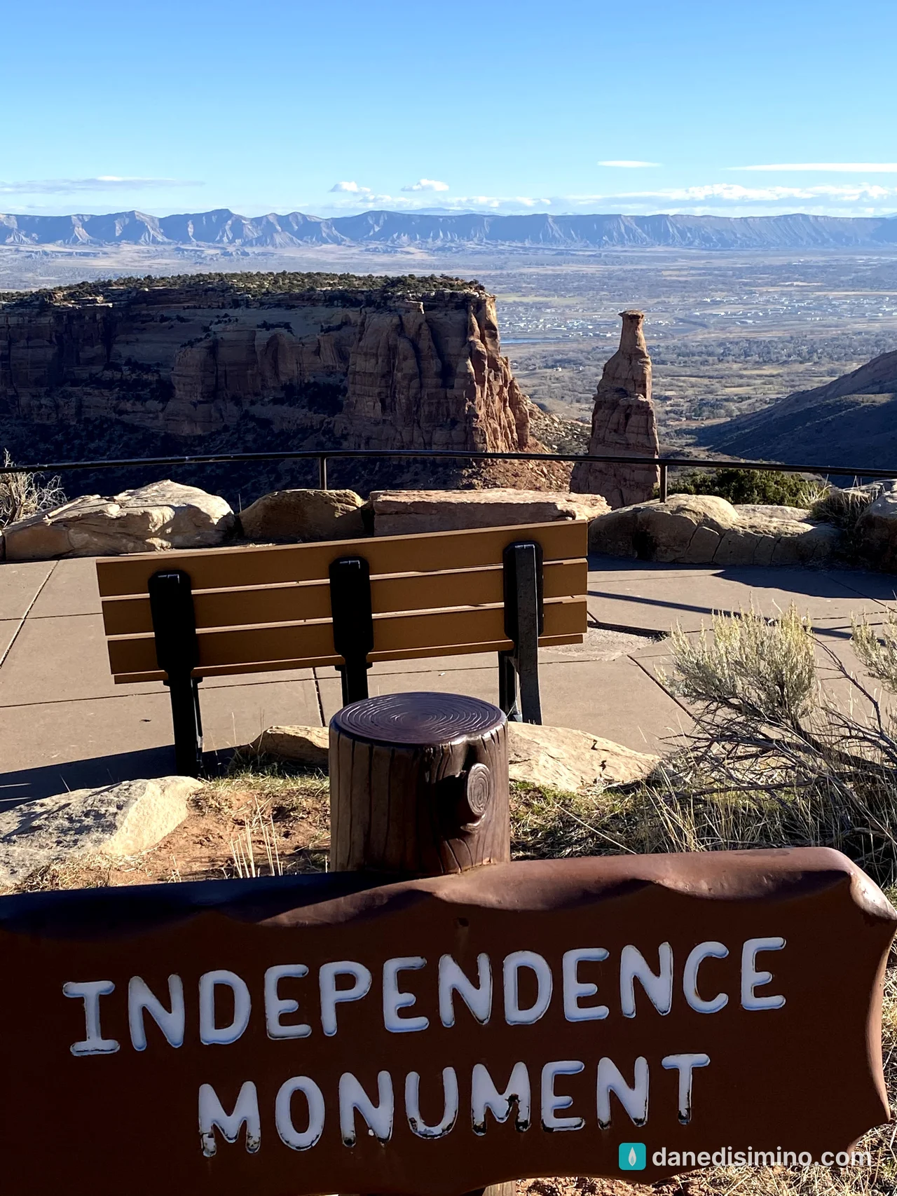
Independence Monument is the star: a 450-foot sandstone tower standing alone in Monument Canyon. You can see it from the Grand View and Independence Monument View overlooks.
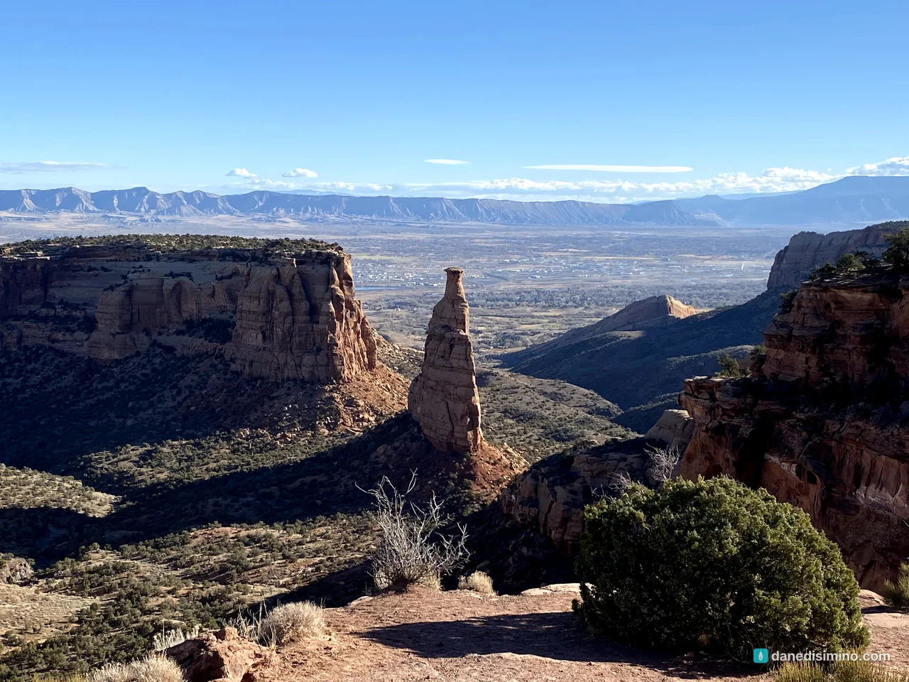
John Otto climbed it in 1911. He hand-drilled holes into the rock and hammered in iron pipes to make a ladder, then raised an American flag on top for the Fourth of July. The tradition continues: every Independence Day, climbers still follow his route and raise the flag.
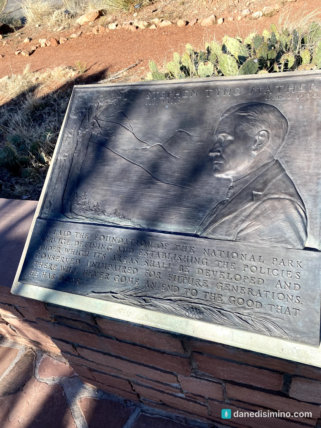
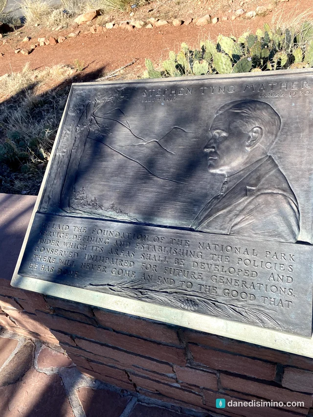
At the Saddlehorn Visitor Center, there's a bronze plaque honoring Stephen Mather, the first director of the National Park Service. It ends: "There will never come an end to the good that he has done." Years later we'd find the same tribute in Big Bend.
The bighorn sheep
Near the end of the drive, we came around a bend and found a small herd of bighorn sheep lying on the rocks right beside the road, resting in the morning sun. I pulled up and took a picture. It's still hanging on our wall at home. It was the first time we'd ever seen bighorn sheep.
Where we stayed
We spent the night before in Glenwood Springs, then drove to Grand Junction in the early morning and were on Rim Rock Drive by 8:30. After the monument we got back on I-70 at Fruita and kept going west into Utah.
What I'd do differently
Give it a full morning. Two hours is enough to see it, but a few more would let us walk a trail.
Hike a short rim trail. The Canyon Rim Trail and Window Rock Trail start near the visitor center and take about half an hour.
Come back for the Fourth of July. Watching the flag go up on Independence Monument would be something to see.
What Colorado National Monument taught me
Colorado National Monument taught me to stop for the small things on the way to the big ones. We were headed to Utah, and the best wildlife photo of our trip came two hours in.
"High in the mountains live the wild goats, and the rocks form a refuge for the hyraxes." (Psalm 104:18, NLT)
God made a home for the sheep on those rocks, and He let us see it.
Questions?
Ask me anything about Colorado National Monument: fitting it into a drive to Utah, where to see bighorn sheep, or which overlooks to stop at. I answer every question.
Photos
Sources
Pathlight
Monument guides from the road, written as we go.