
NATIONAL PARKS
Glacier
A Field Guide
On this page
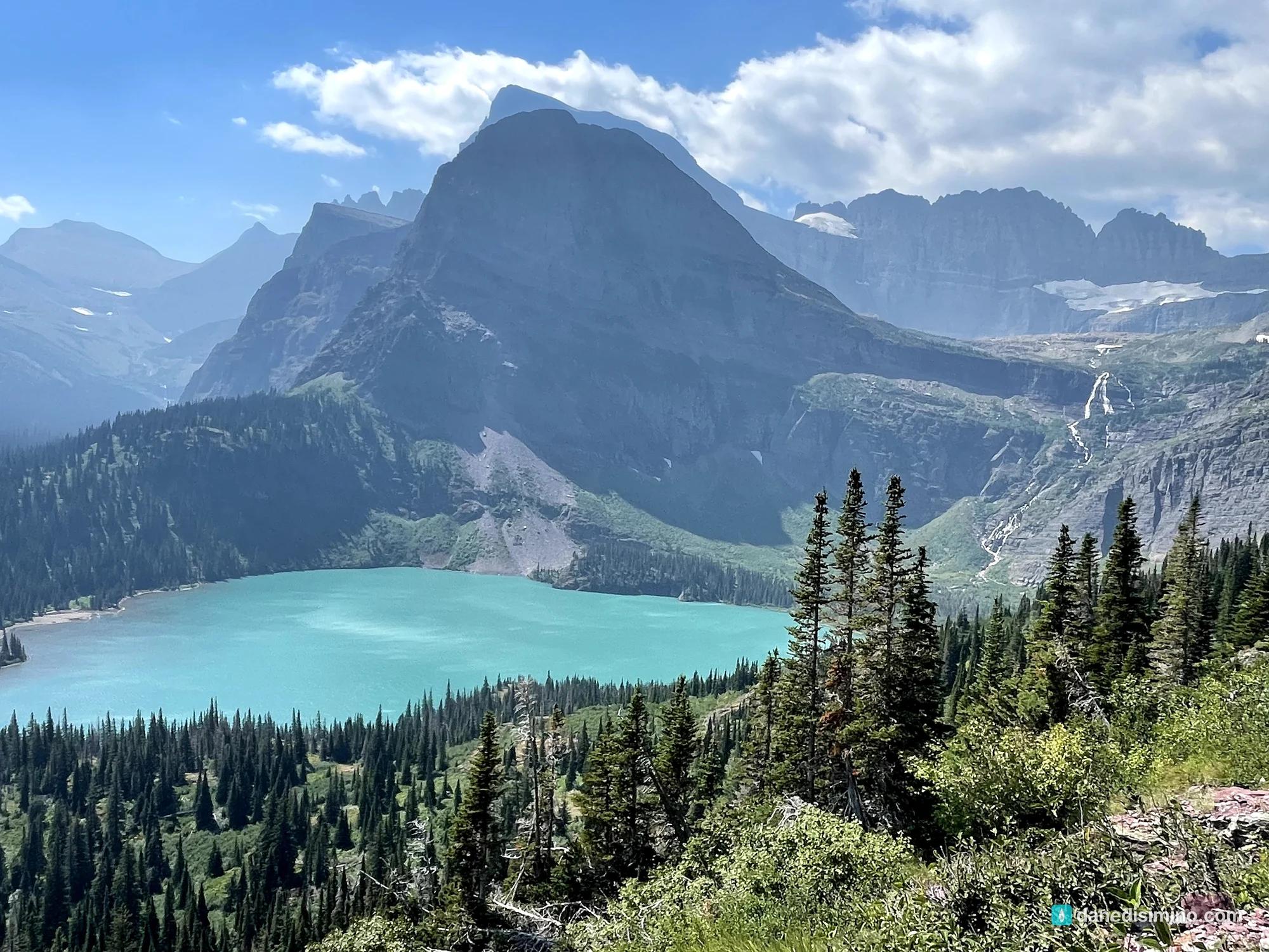
Four days in Glacier in August 2021, and one of my top five parks: my first time fly fishing in a national park at Hidden Lake under Bearhat Mountain, mountain goats up close, a solo hike to Grinnell Glacier, and smoky sunsets on Going-to-the-Sun Road. The park's glaciers, geology and history, and how I'd plan the trails and lodging next time.
Version 1.0 · Updated Nov 18, 2026
Map
When to go
Average monthly visits, 2023–2025. Source: NPS visitor statistics. ● marks the months we visited.
| January | 16,335 |
|---|---|
| February | 16,304 |
| March | 24,664 |
| April | 45,810 |
| May | 218,247 |
| June | 546,913 |
| July | 759,771 |
| August | 706,876 |
| September | 569,461 |
| October | 143,831 |
| November | 24,271 |
| December | 20,493 |
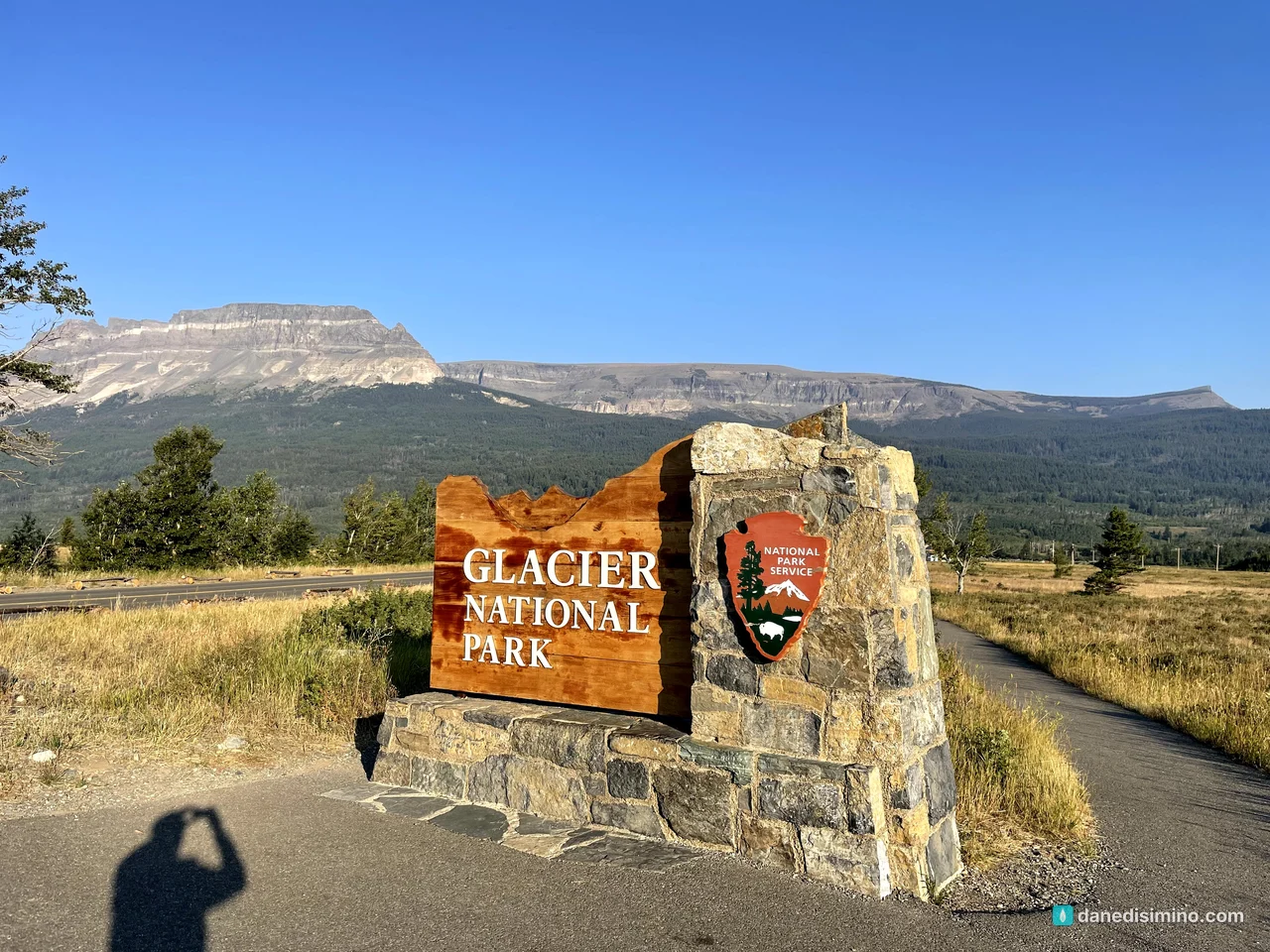
Glacier came right after Grand Teton in the summer of 2021, and it was one of the best park experiences we've ever had. It's in my top five, for a few reasons.
It was the first national park I ever fly fished in. The mountains, the turquoise lakes and the glaciers still clinging to the peaks are as beautiful as anything we've seen. And the Grinnell Glacier Trail might be the best hike I've ever taken in a national park.
We were there from August 9 to 13, 2021.
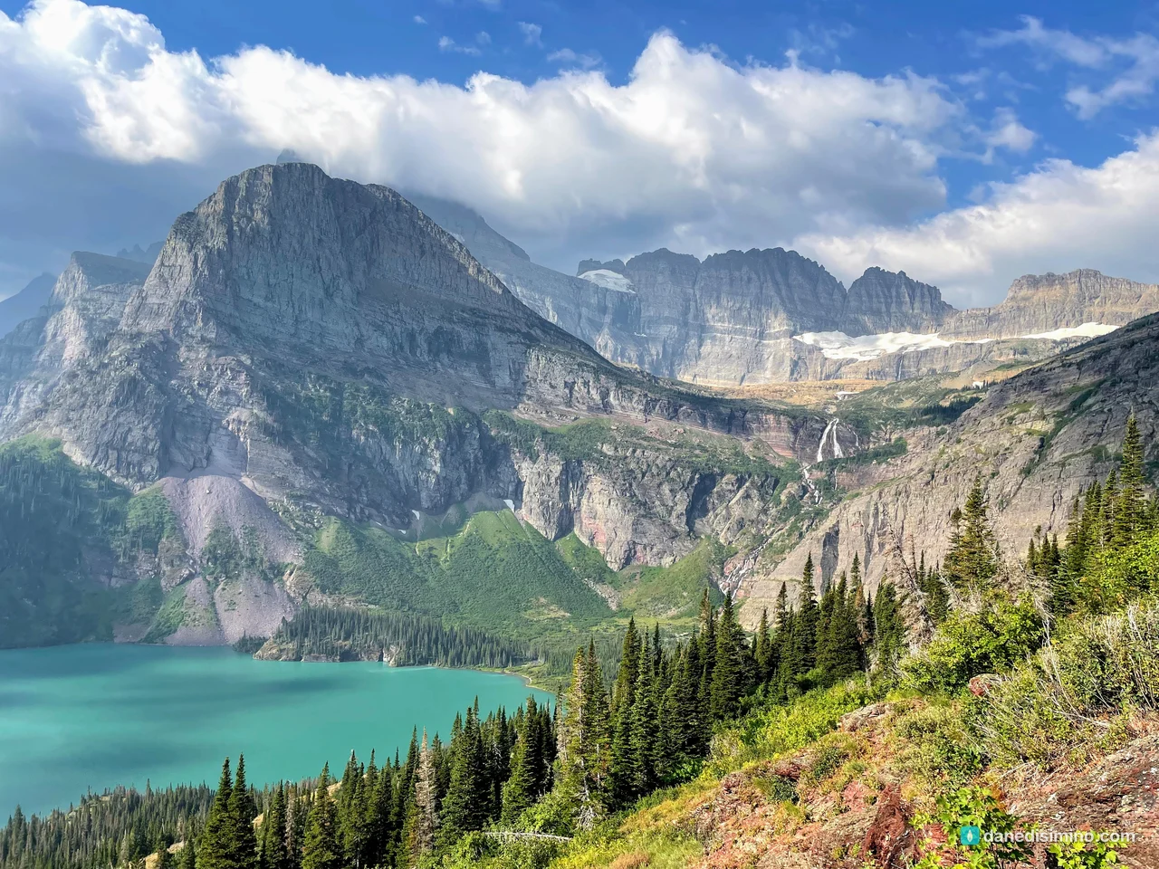
Glacier is five out of five stars.
The short version
Drive Going-to-the-Sun Road. It's one of the great drives in America. Do it at least once at sunset.
Hike to Grinnell Glacier. If you're up for 10 miles, it's the hike of a lifetime.
Walk to Hidden Lake. Mountain goats, wildflowers and a lake under Bearhat Mountain.
Plan the trails around your group. Mix easy, moderate and hard hikes so everyone gets a great day.
Check the reservation rules. Glacier began requiring vehicle reservations for Going-to-the-Sun Road in 2021. Check the current rules before you go.
The park at a glance
- 1910
- Became the 10th national park
- ~80 → ~24
- Glaciers in 1910 vs. today
- 6,646 ft
- Logan Pass, the top of the road
- $35
- Per vehicle, good for 7 days
Where: northwestern Montana, on the Canadian border. West Glacier is the main west entrance; St. Mary is the main east entrance.
Two sides: the Continental Divide splits the park. The west side is greener and wetter, with Lake McDonald. The east side is drier and higher, with St. Mary Lake and Many Glacier.
Entrance fee: $20 to $35. Non-U.S. residents 16 and over now pay an extra $100 per person unless they have an annual or America the Beautiful pass.
Reservations: in 2021, the park began requiring a ticket to drive Going-to-the-Sun Road in summer. Check the park website before you go.
Contact: nps.gov/glac. In an emergency, call 911.
The Crown of the Continent
Glacier's mountains tell a 1.5-billion-year story.
An ancient sea. About 1.5 to 1.4 billion years ago, mud and sand settled into a shallow inland sea, the Belt Sea, and hardened into colorful layers of red and green argillite, quartzite and limestone. Some of the oldest fossils on earth are here too: stromatolites, colonies of ancient algae.
The Lewis Overthrust. Starting about 150 million years ago, colliding plates pushed a slab of that ancient rock thousands of feet thick up and over rock only about 70 million years old. Over millions of years, it slid about 50 miles east, one earthquake at a time. That's why old rock sits on top of young rock here.
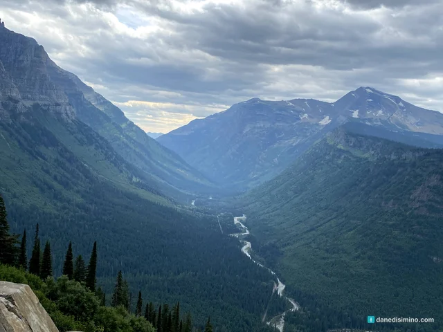
The ice. Over the last two million years, giant glaciers filled these valleys, carving the sharp peaks, knife-edge ridges and U-shaped valleys you see today. The Ice Age ended here about 10,000 years ago.
Today's glaciers are young. The glaciers left today formed in the last 6,000 to 8,000 years and grew during the Little Ice Age, which ended about 1850. When the park was created in 1910, it had around 80 glaciers. Today it has about two dozen.
How the park began
The Blackfeet controlled the prairies east of the mountains, and the Salish and Kootenai lived in the western valleys. To the Blackfeet, the Many Glacier valley is the birthplace of creation.
In the late 1800s, George Bird Grinnell, a writer and conservationist, explored these mountains and pushed for a national park. The Great Northern Railway lobbied too. In 1910, President Taft signed the bill making Glacier the country's 10th national park. The railway then built grand lodges like the Many Glacier Hotel to bring visitors to the "Alps of America." In 1932, Glacier and Canada's Waterton Lakes National Park became the world's first International Peace Park.
Going-to-the-Sun Road
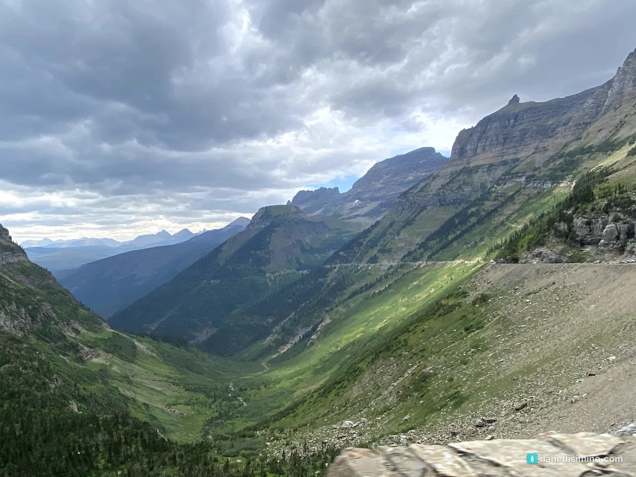
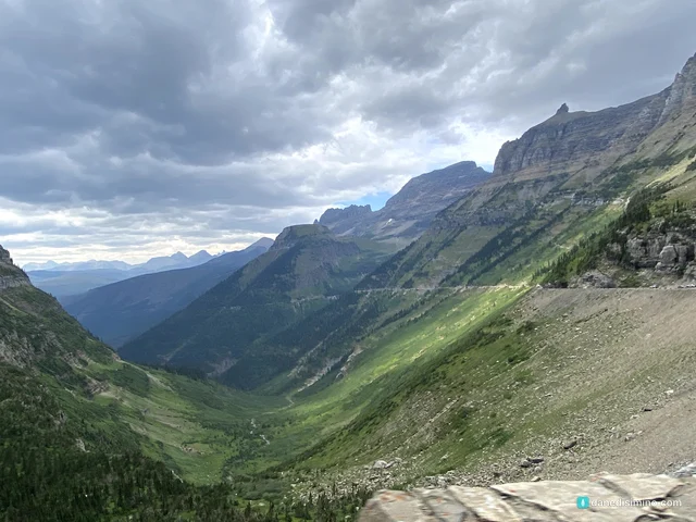
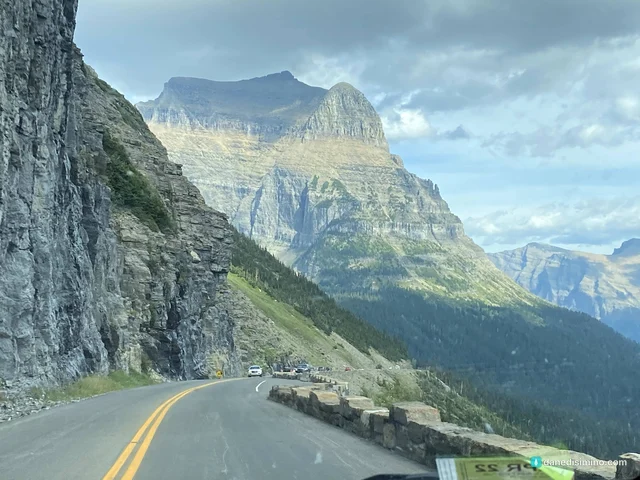
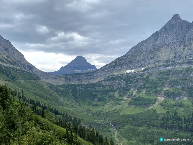
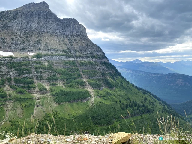
Going-to-the-Sun Road is an epic drive. It runs about 50 miles across the park and over the Continental Divide at Logan Pass. It took years to build in the 1920s and early 1930s, and it's a National Historic Landmark.
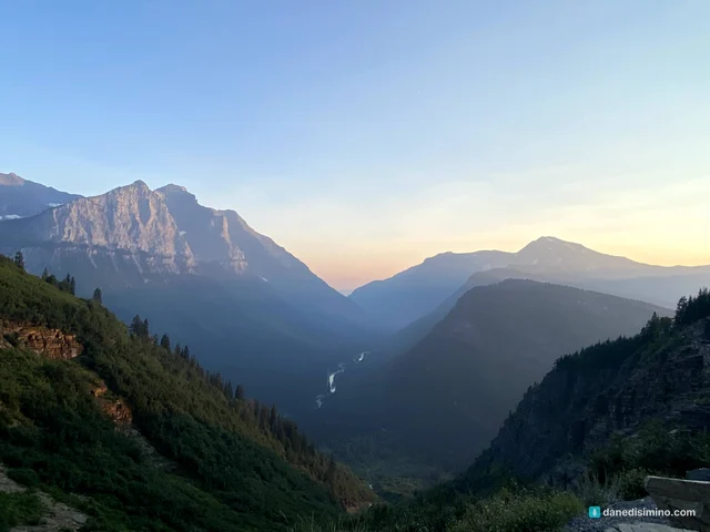
We crossed it more than once, and every time it was spectacular: waterfalls pouring off the cliffs, hanging valleys, and the road clinging to the Garden Wall.
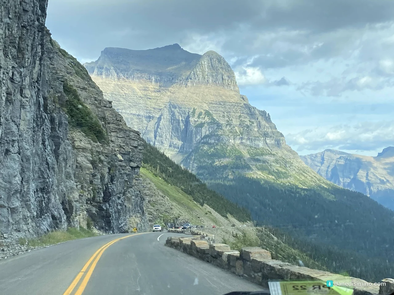
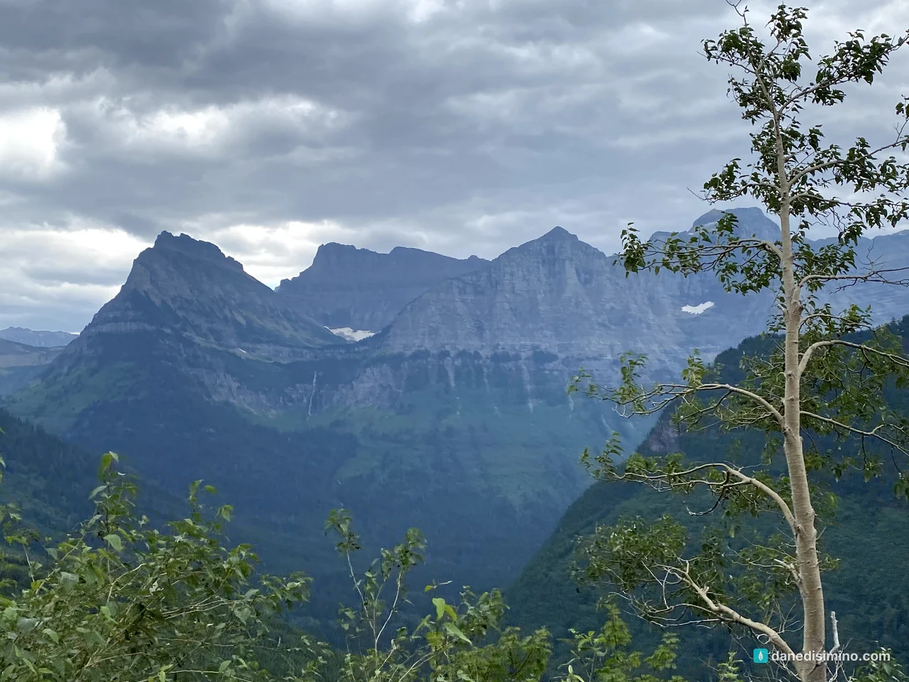
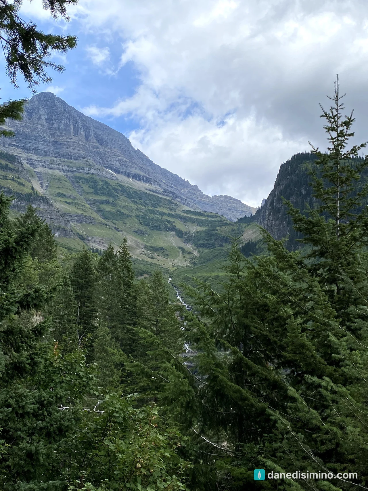
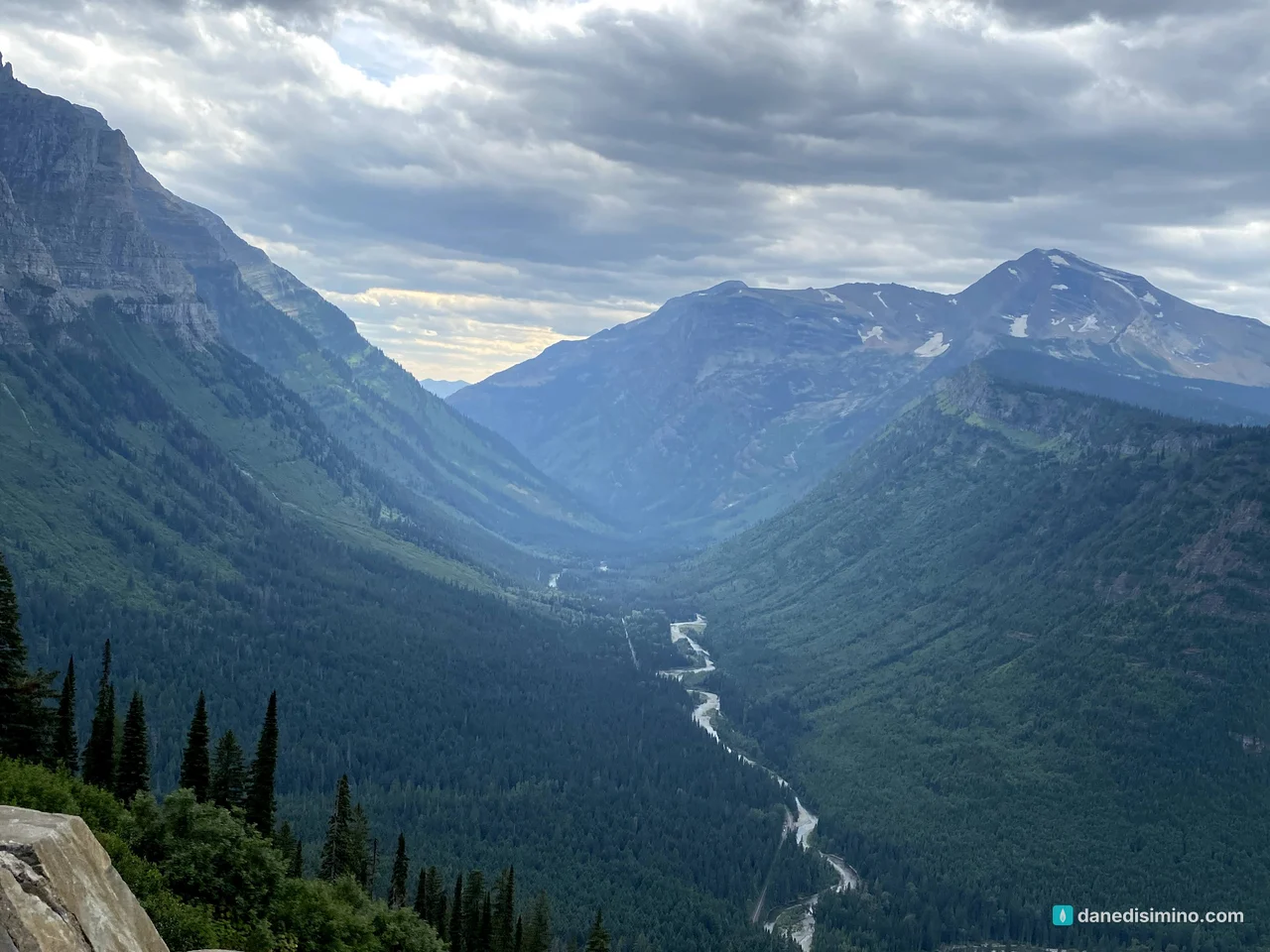
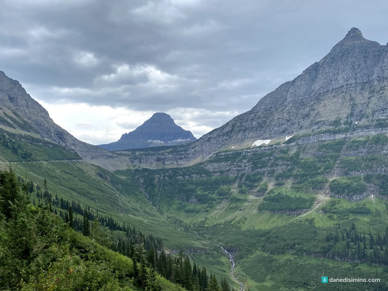
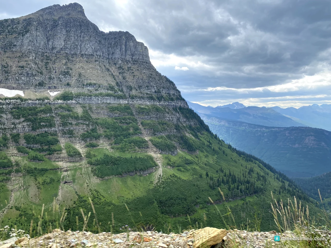
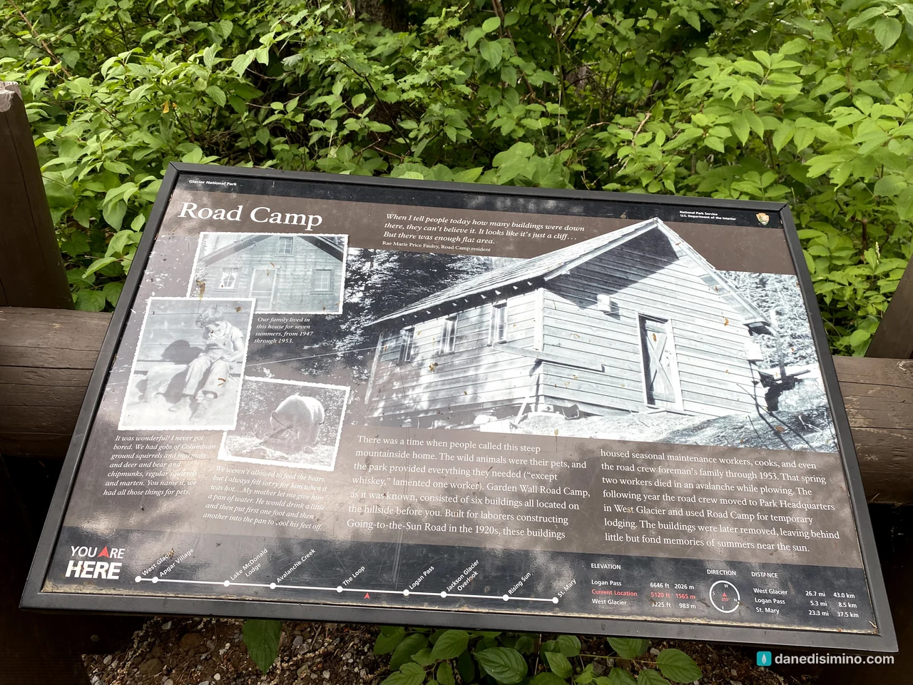
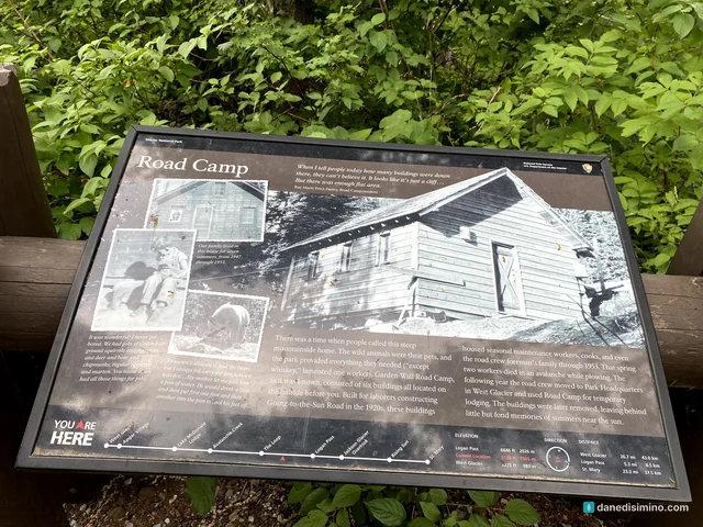
At one pullout, a sign tells the story of Road Camp, where the workers who built the road lived on the steep mountainside through the 1920s. In 1953, two workers died in an avalanche while plowing the road.
The west side
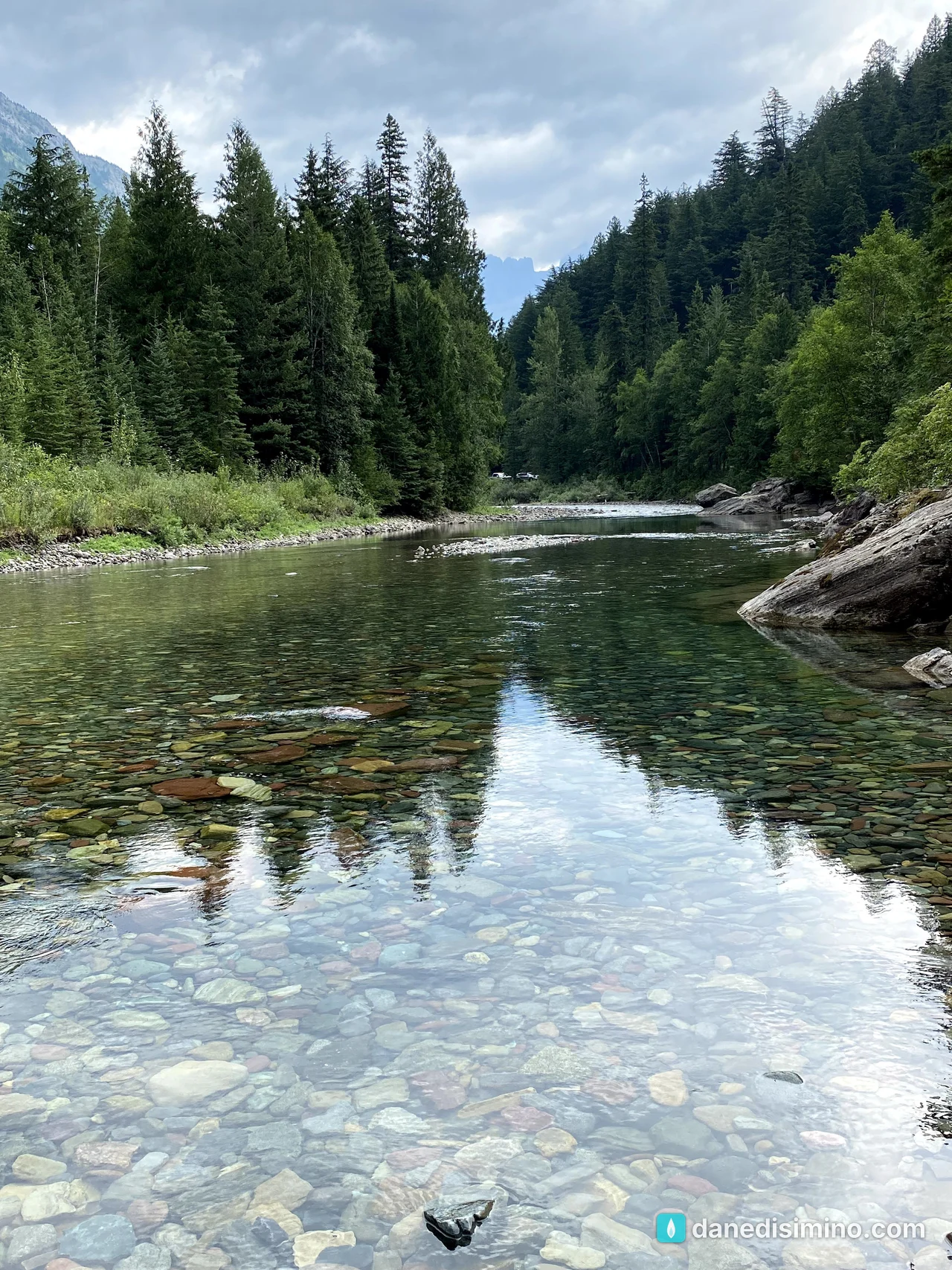
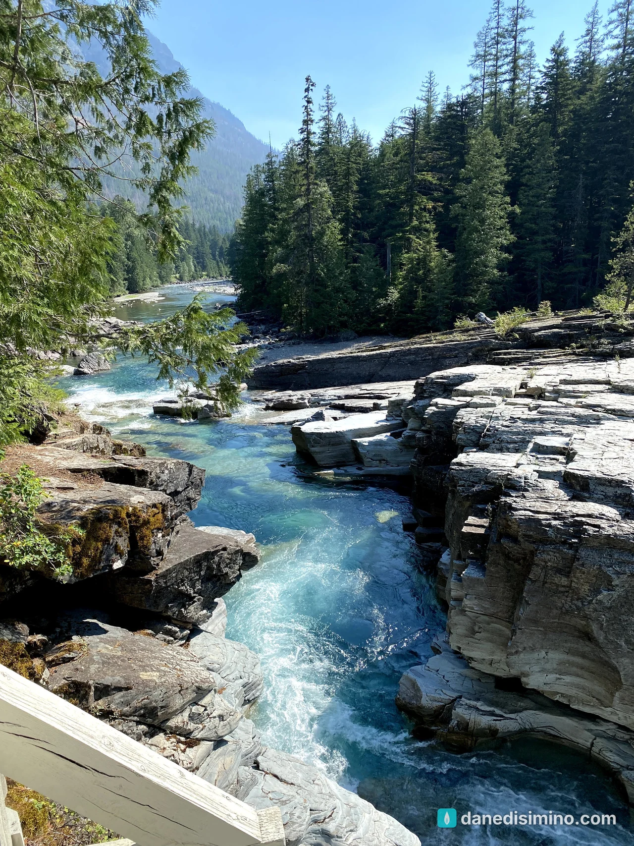
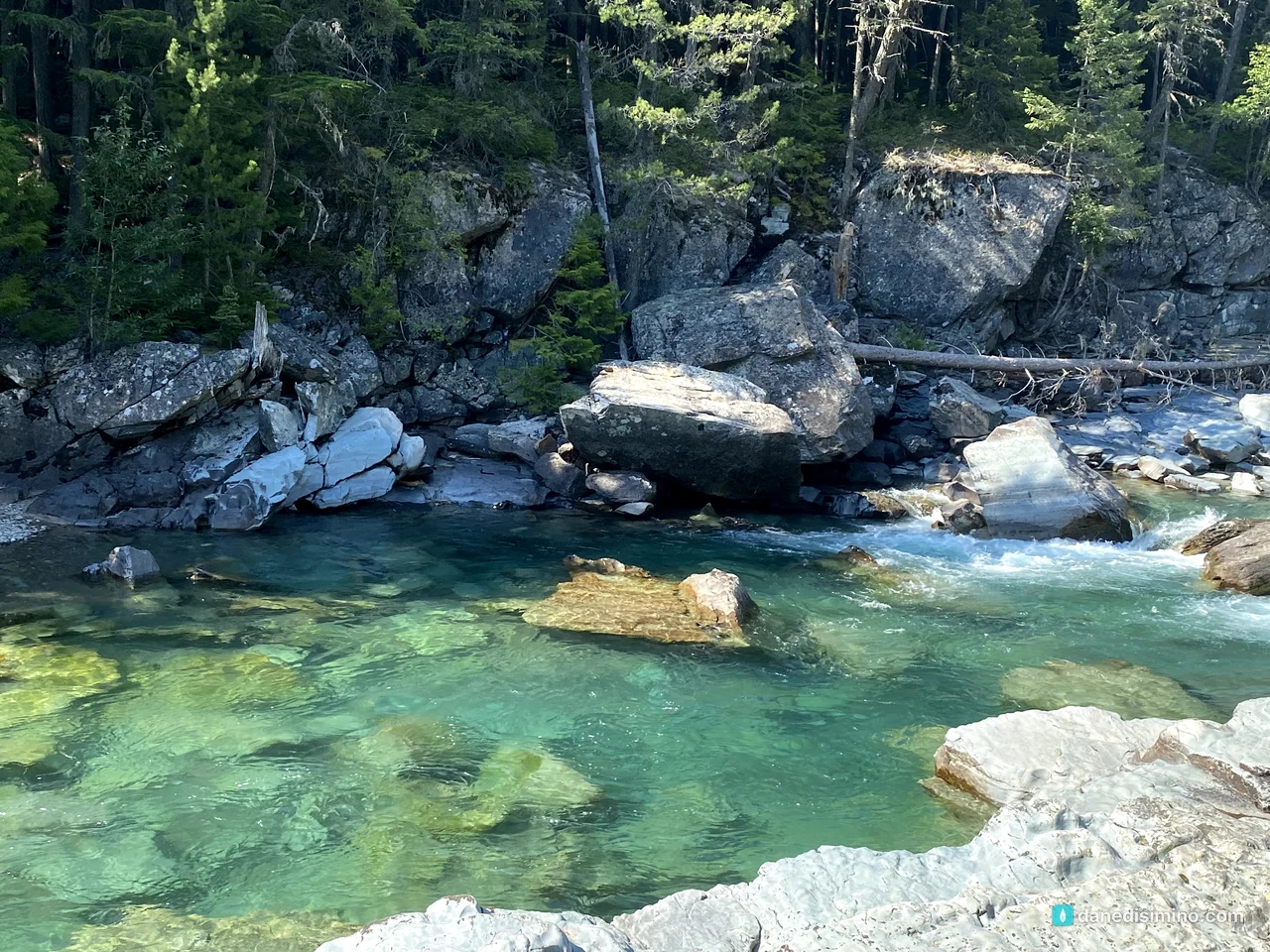
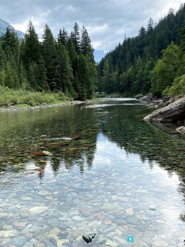
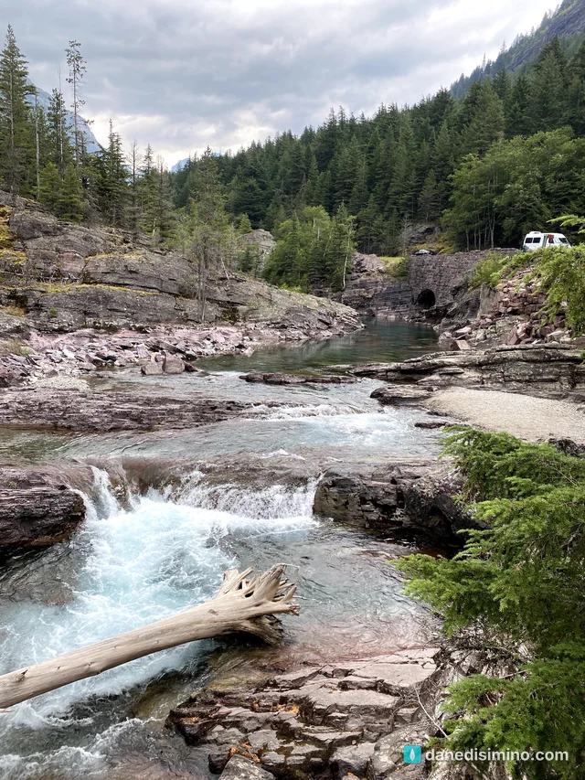
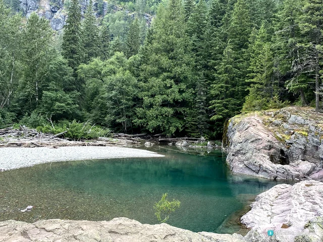
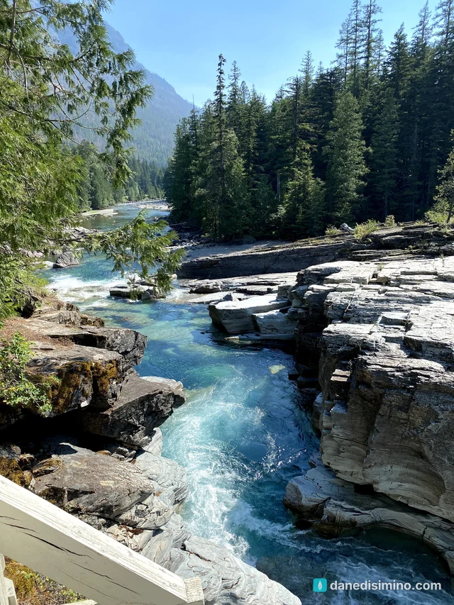
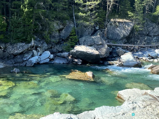
On the west side, McDonald Creek runs crystal clear over red and green stones, worn down from the same ancient Belt Sea rocks that color the mountains.
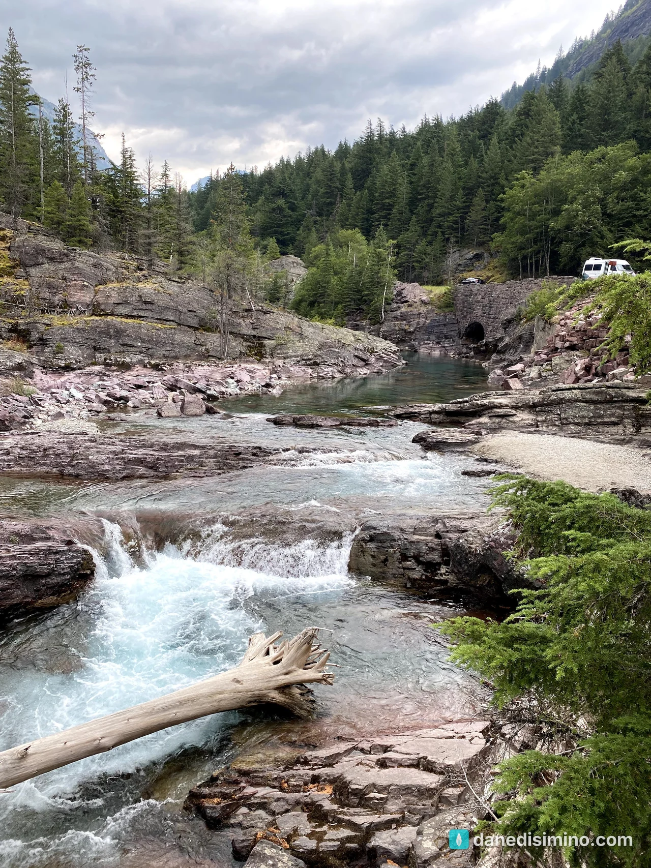
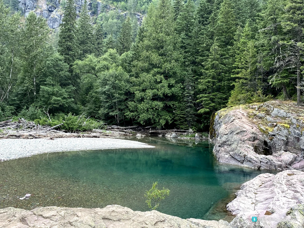
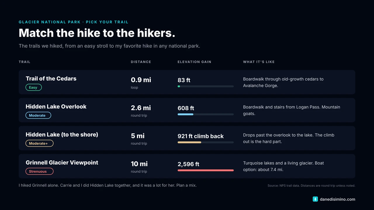
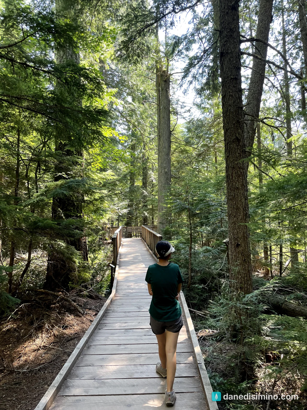
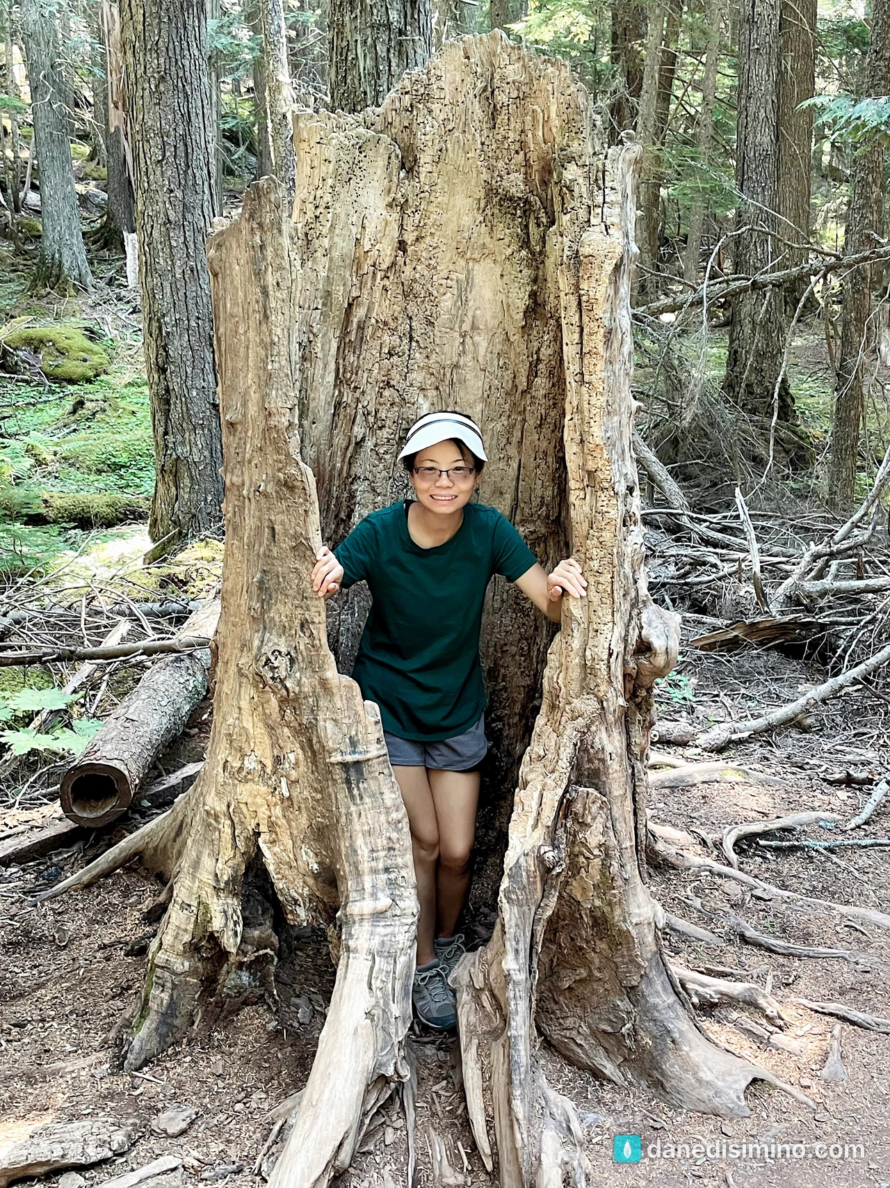
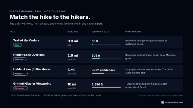
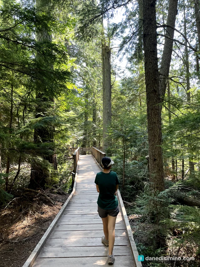
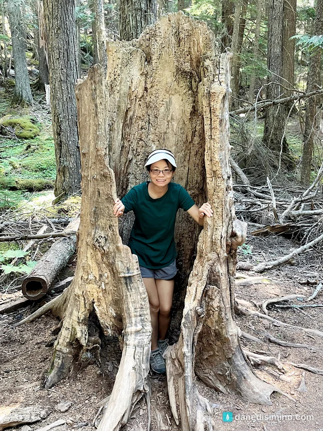
Trail of the Cedars is an easy, flat boardwalk loop through old-growth cedars along Avalanche Creek, where the water has carved a deep, narrow gorge.
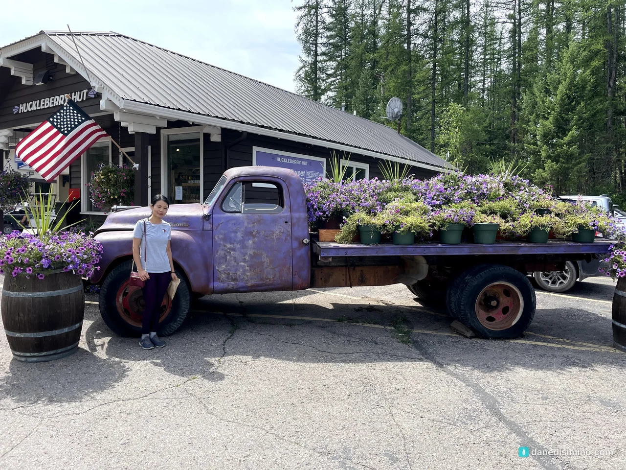
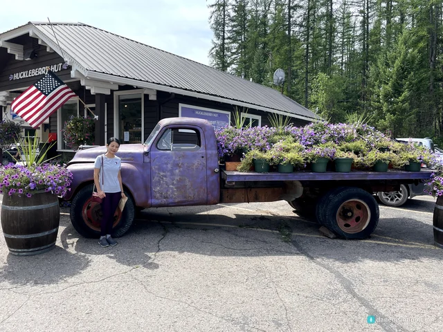
Outside the park, we couldn't resist a huckleberry stop. Huckleberries are a Montana obsession: ice cream, pie, jam, you name it.
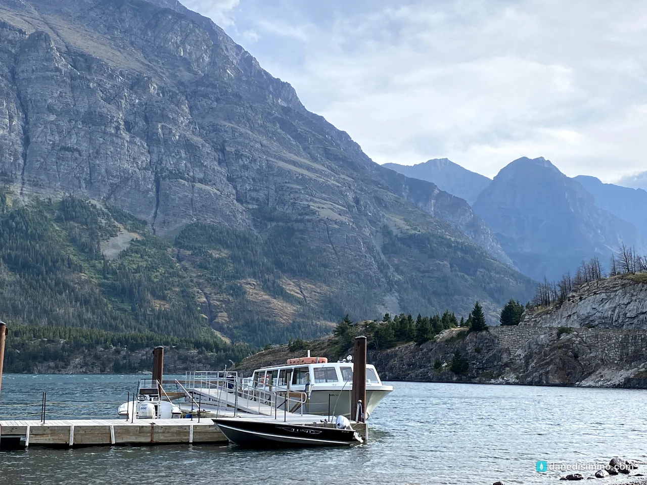
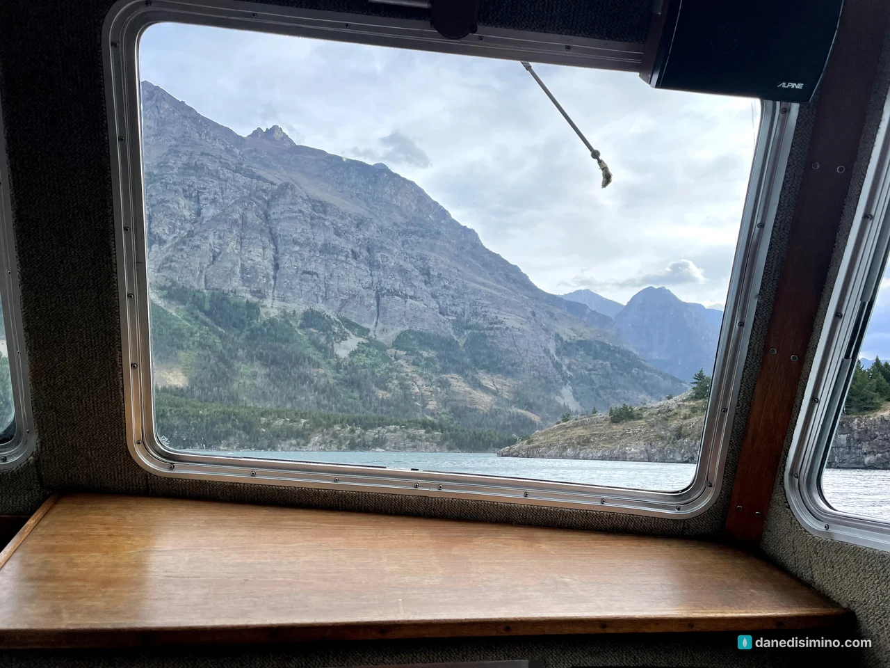
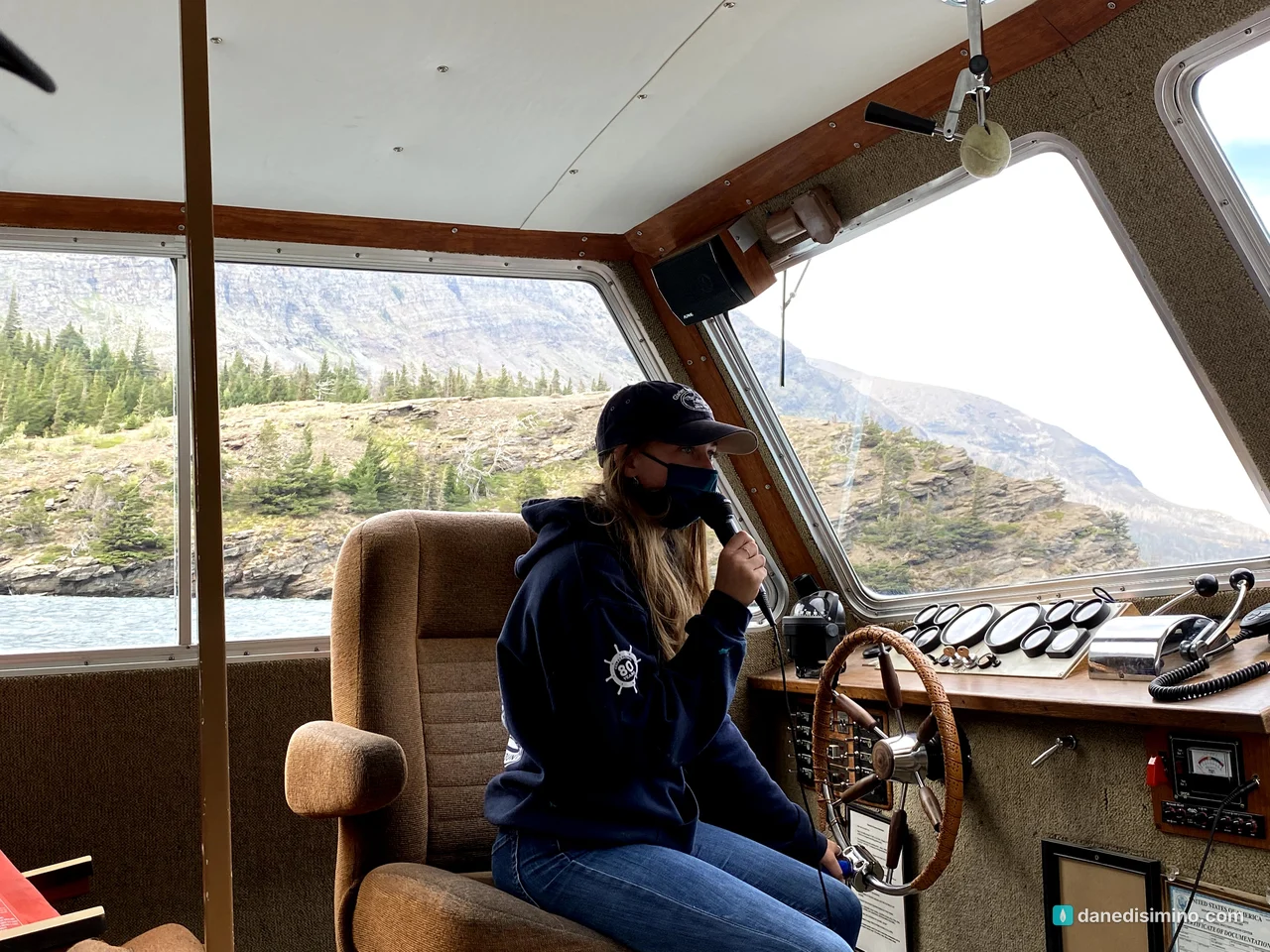
A boat on the lake
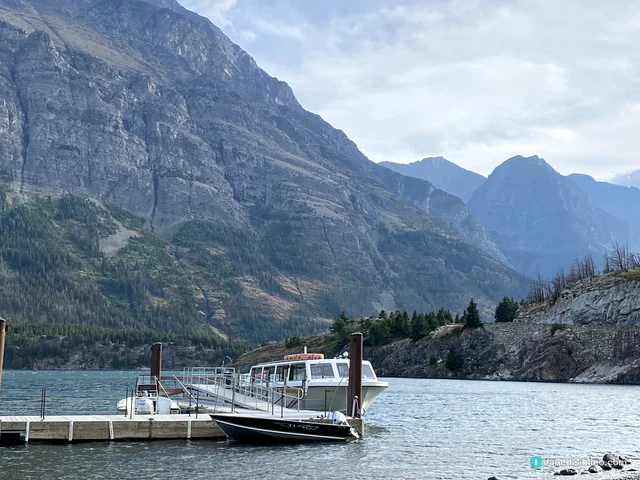
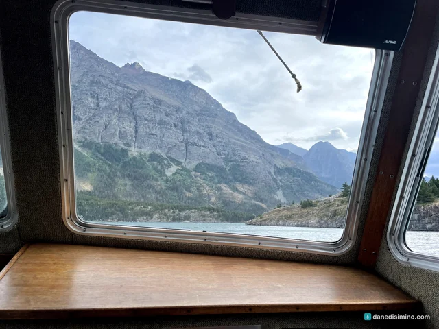
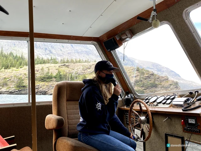
One evening, we took a boat cruise and watched the mountains slide by from the water.
Grinnell Glacier: the best hike I've ever taken
Carrie isn't a long-distance hiker, and I love a challenge. So for Grinnell Glacier, I went on my own.
The trail starts in Many Glacier and climbs along the mountainside above a chain of lakes. It's about 10 miles round trip with roughly 2,600 feet of elevation gain. You can save about 2.6 miles by taking the boat across Swiftcurrent Lake and Lake Josephine.
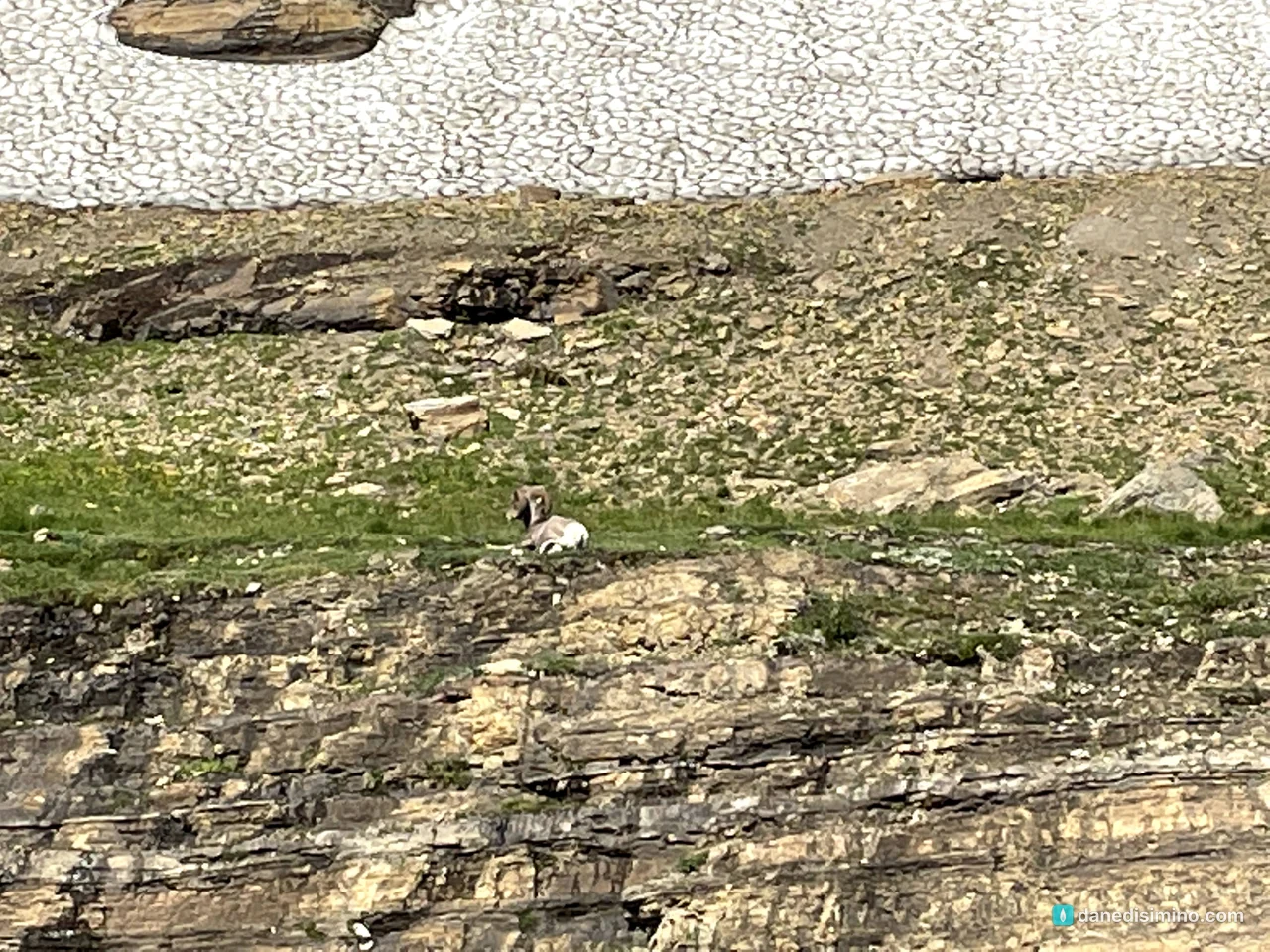
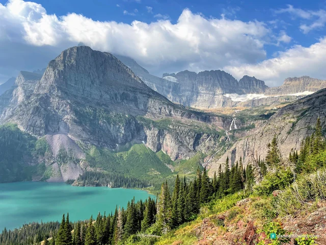
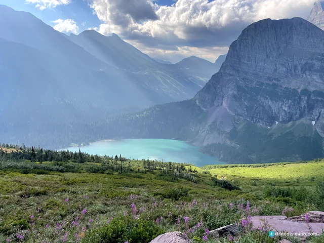
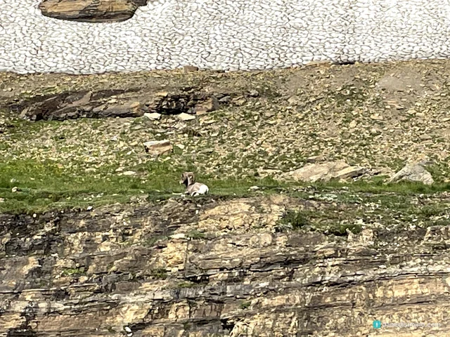
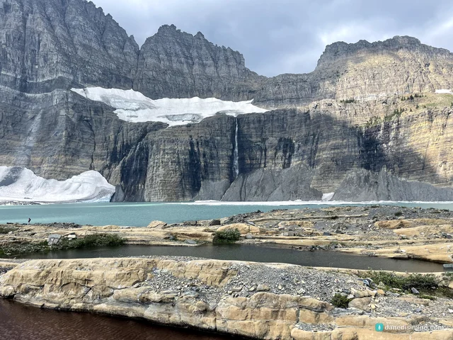
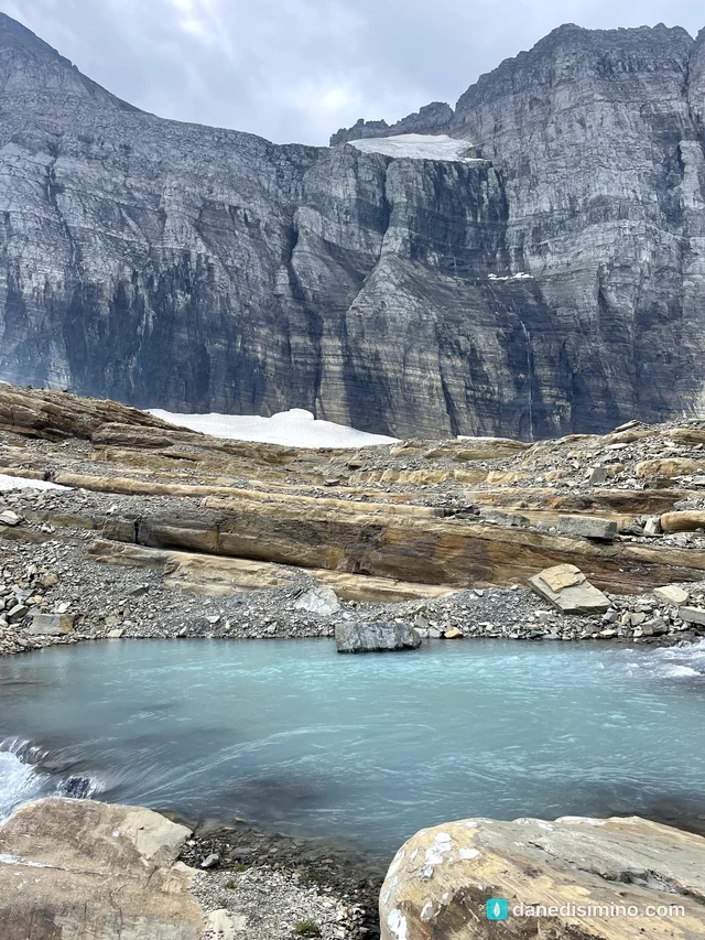
The views get better with every step. First you look down on Grinnell Lake, a turquoise color that doesn't look real. Then wildflower meadows, waterfalls, and finally the glacier itself, sitting above the milky turquoise water of Upper Grinnell Lake. Along the way, I spotted a bighorn ram resting on a ledge.
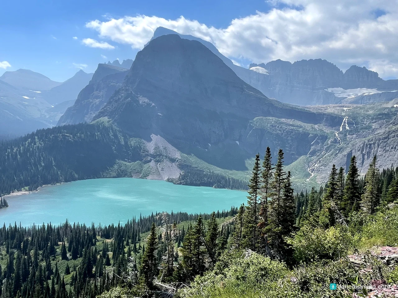
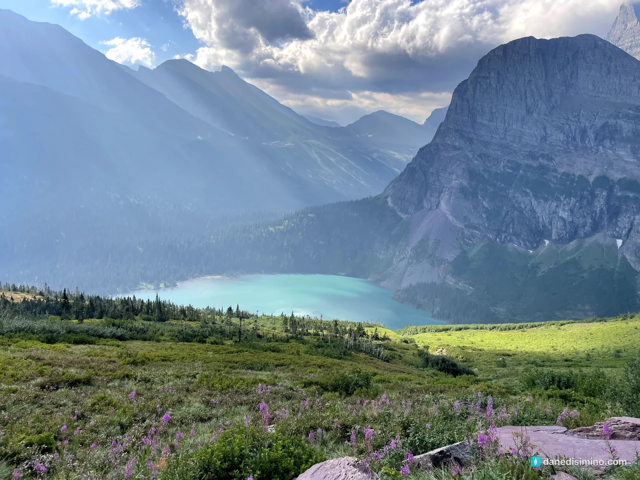
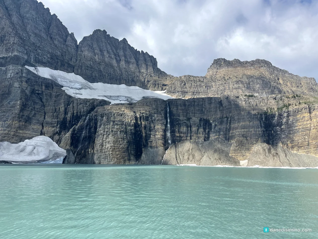
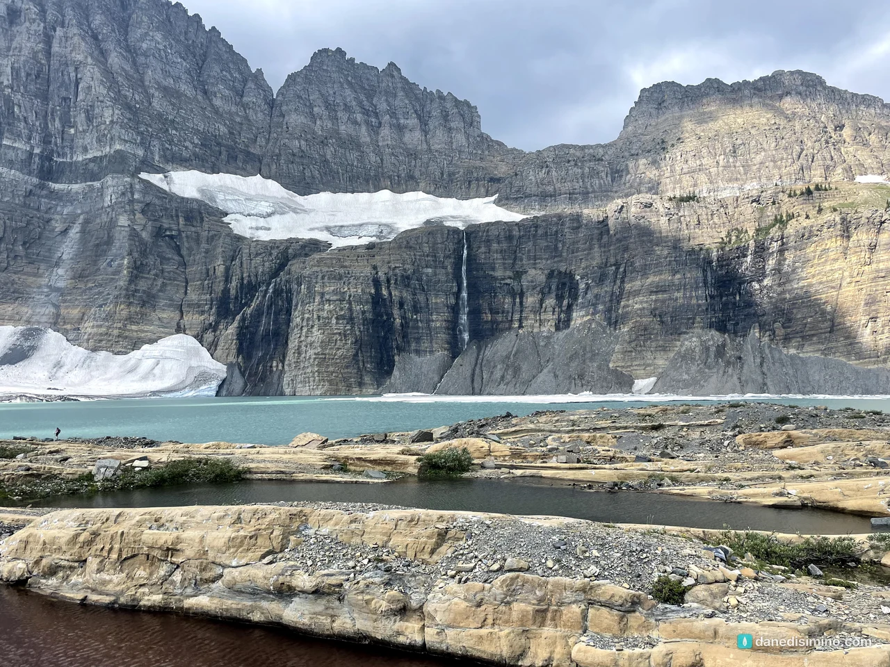
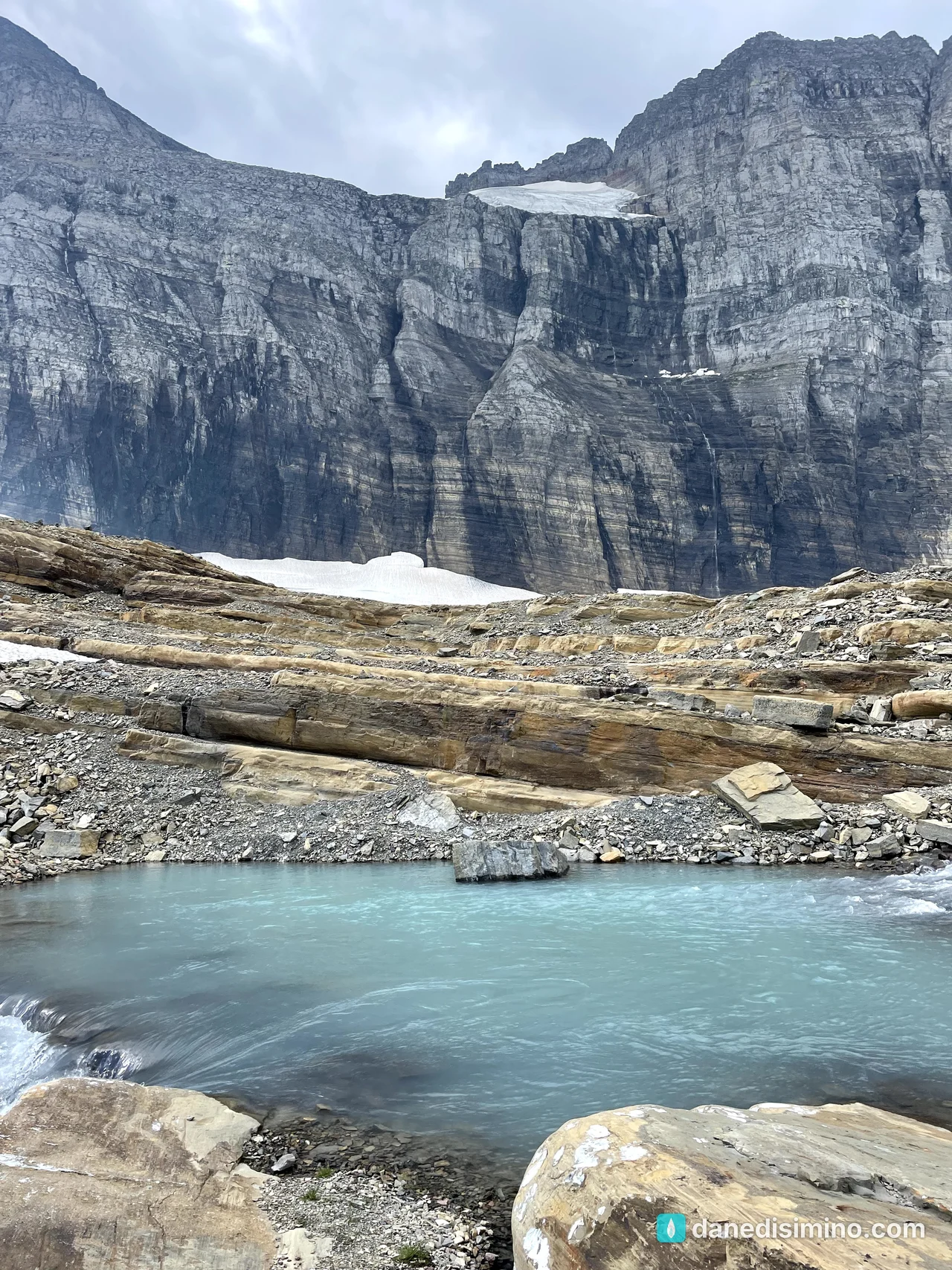
The glacier is named for George Bird Grinnell, the same man who fought for the park. In the 1920s, it shrank so much that it split from the Salamander Glacier above it. Scientists compare old photos with new ones taken from the same spots to measure how much it has melted.
Hidden Lake: fishing under Bearhat Mountain
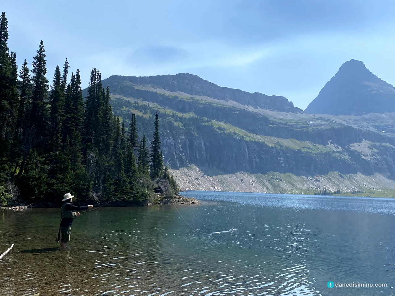
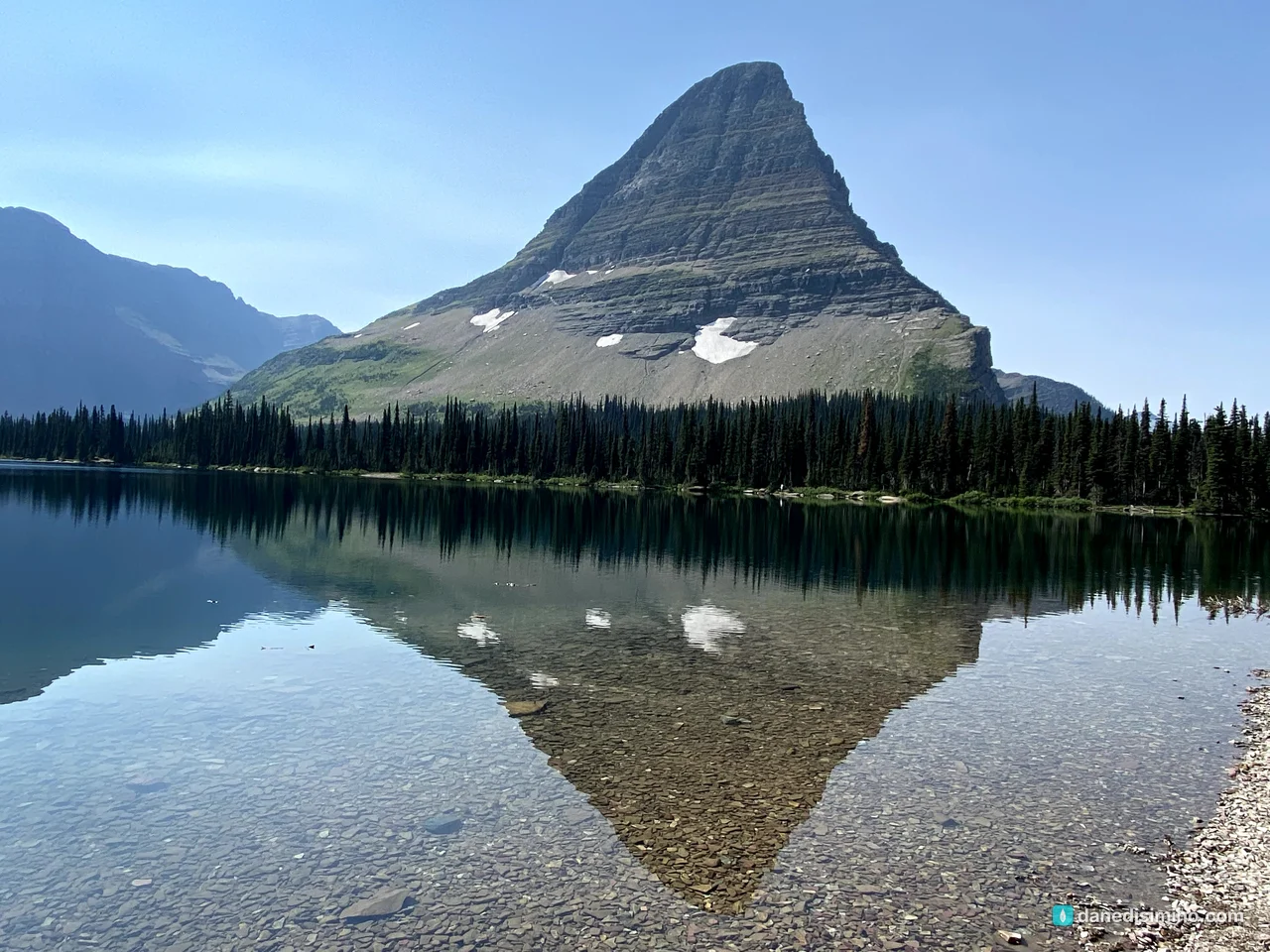
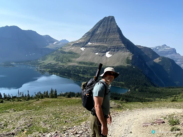
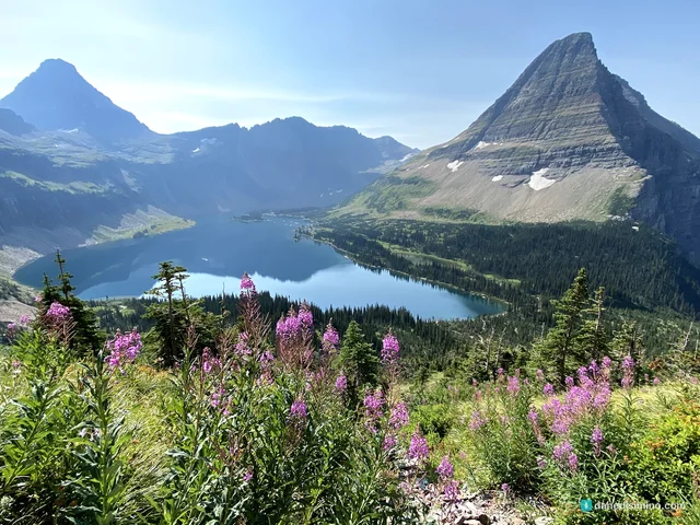
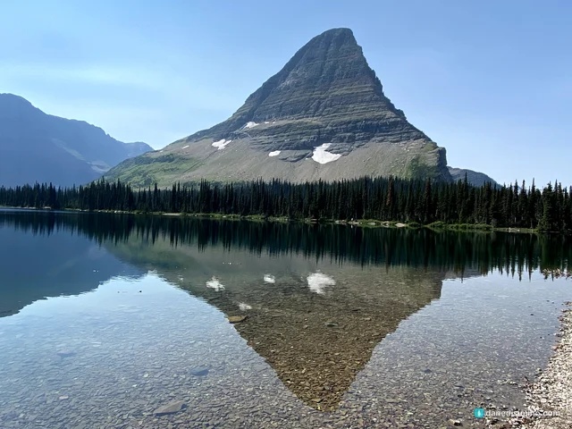
The other highlight was Hidden Lake. I loaded my fly rod and gear into a backpack, and Carrie and I hiked from Logan Pass toward the lake under the pointed peak of Bearhat Mountain.
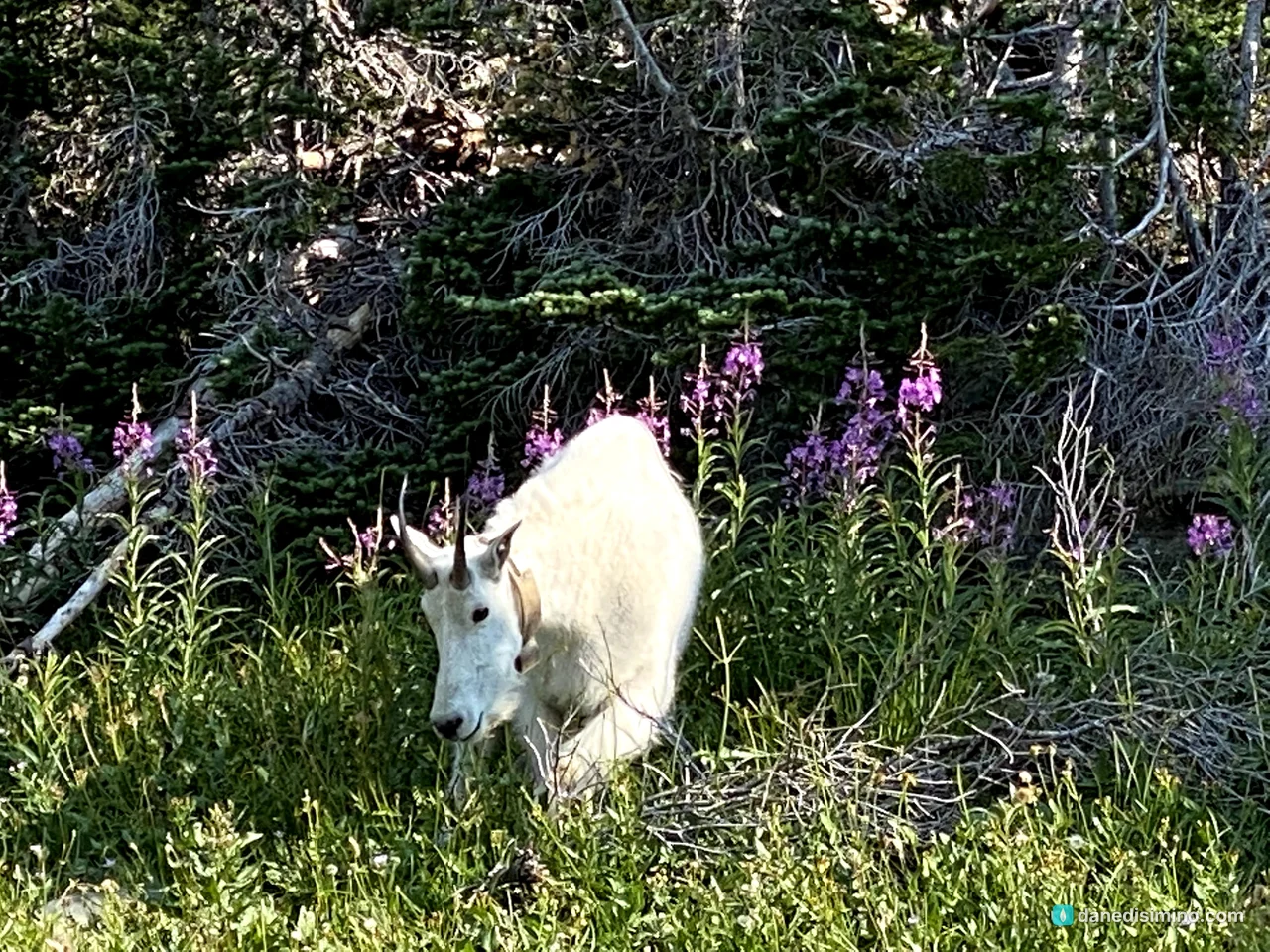
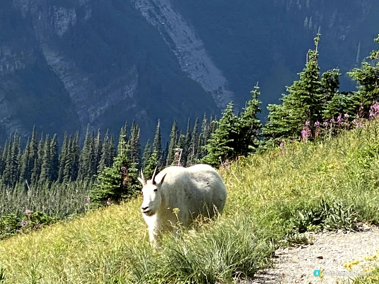
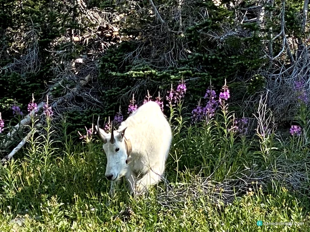
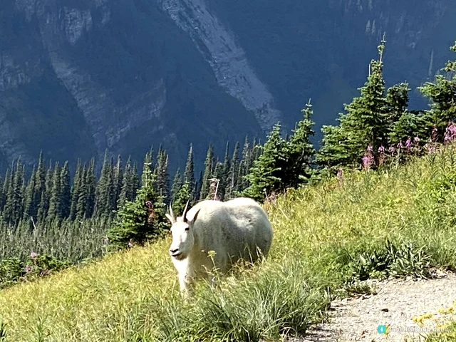
On the way, we met a white mountain goat, up close, grazing in the wildflowers right beside the trail. Mountain goats here are exceptional climbers. Despite the name, they're not true goats; their closest relatives are the chamois of Europe and the gorals and serows of Asia.
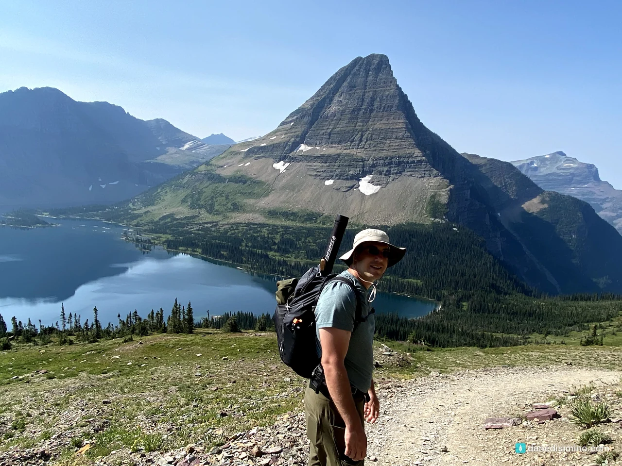
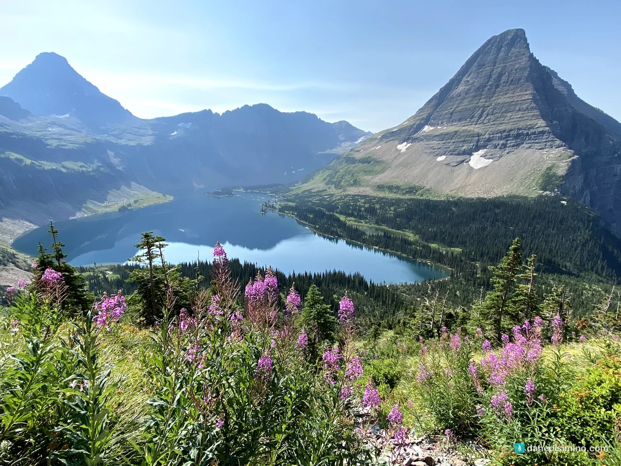
From the overlook, the trail drops down to the shore. It wasn't an easy hike, especially climbing back out, and it was strenuous for Carrie. But it was a beautiful day. And I actually caught fish in that lake, in that majestic setting. I'll never forget it.
Sunsets on the Sun Road
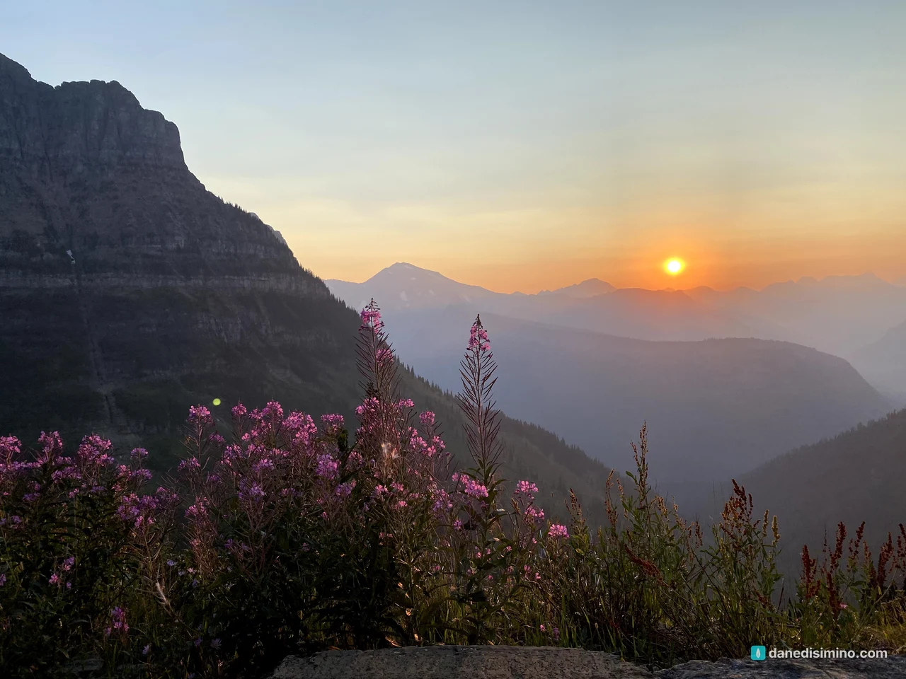
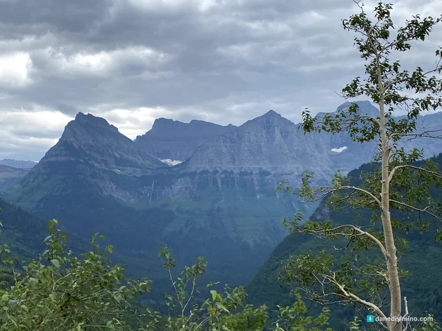
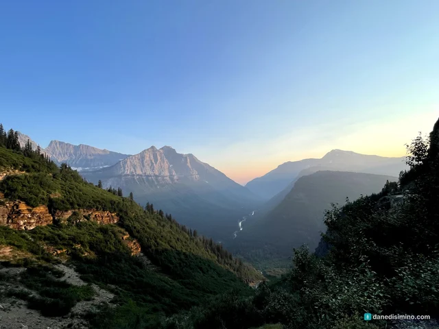
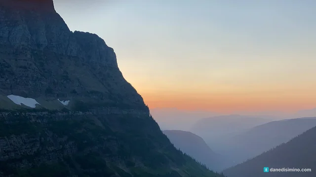
The sunsets on Going-to-the-Sun Road are among the best we've ever seen. Wildfire smoke was in the air that August, and it turned the sky orange and pink over layer after layer of mountains.
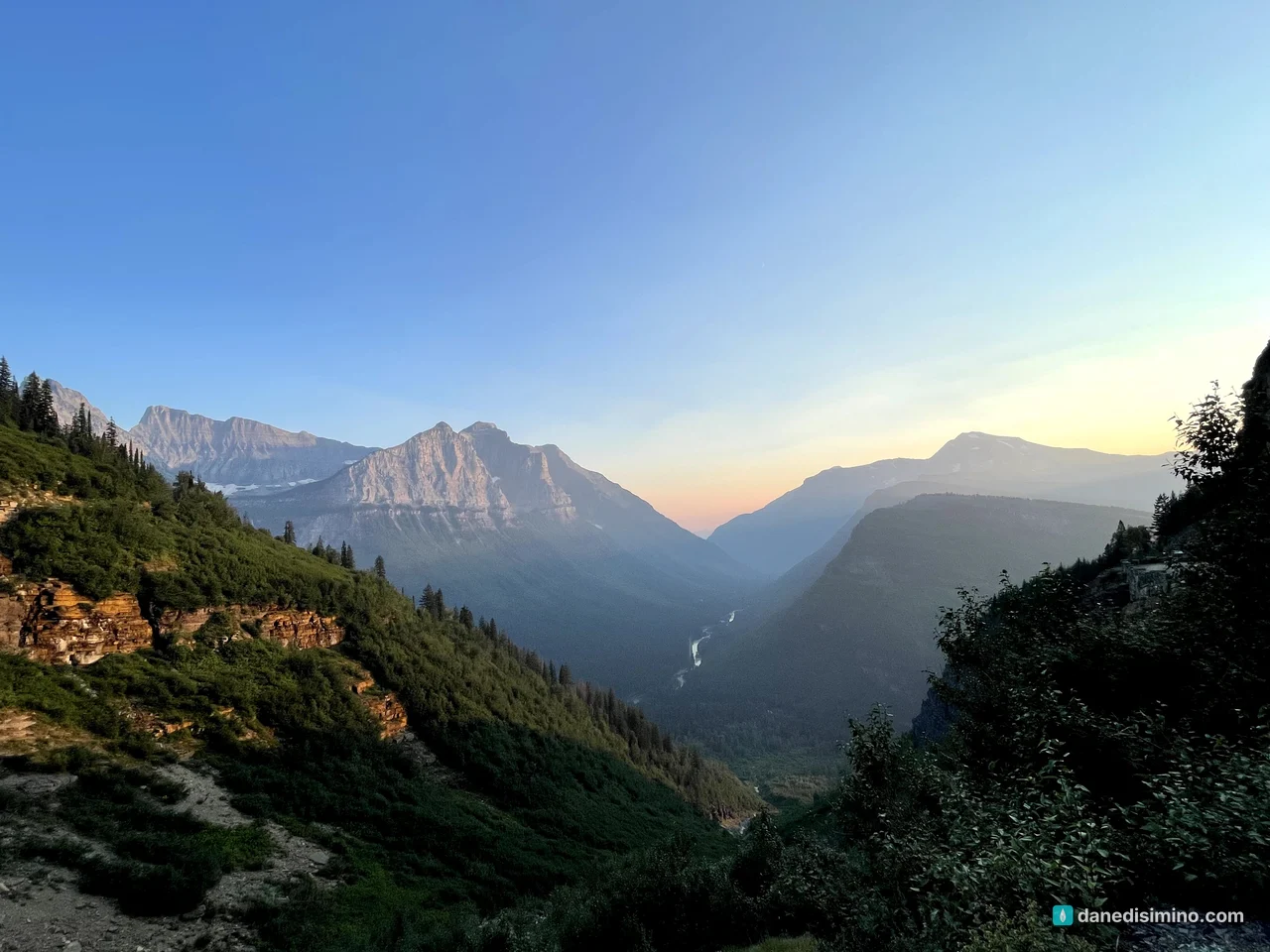
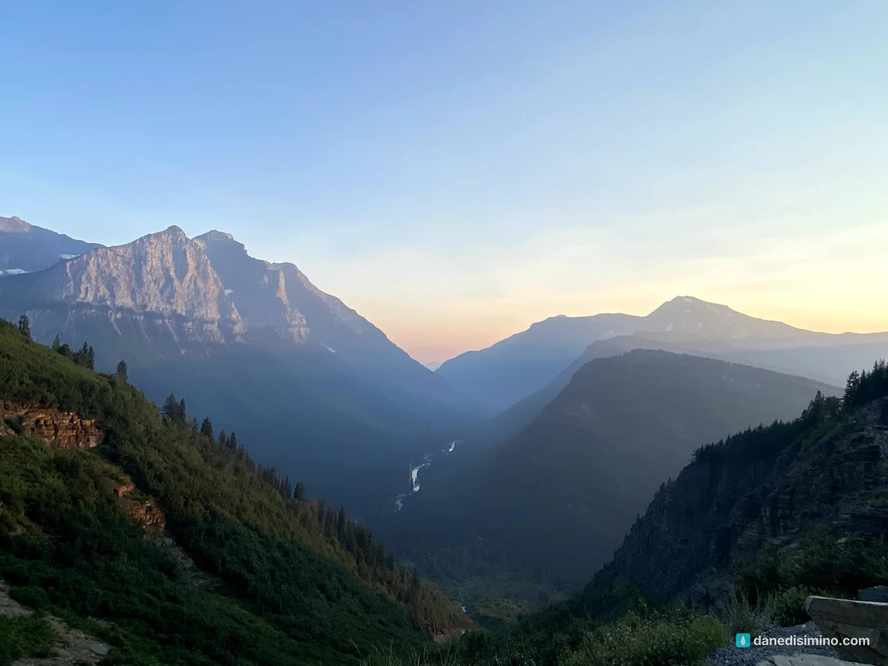
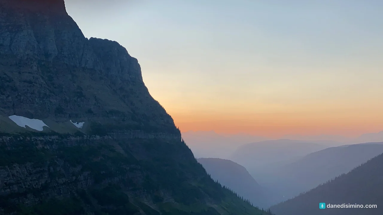
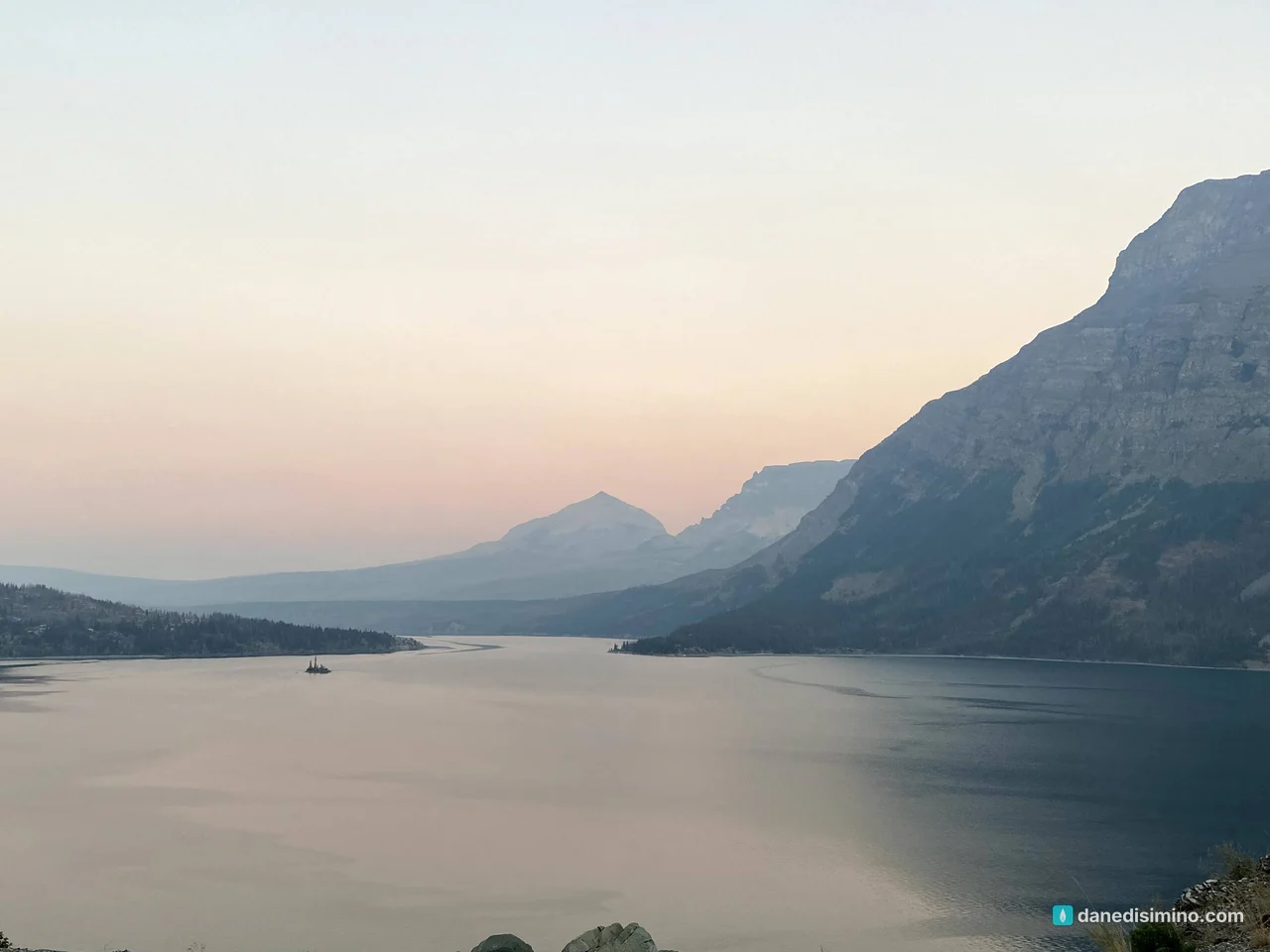
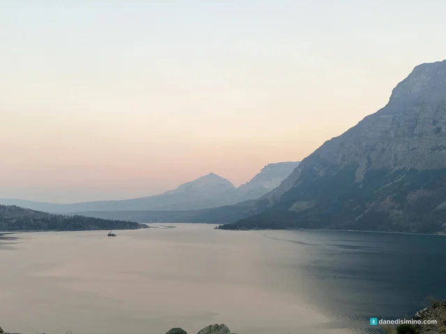
By the time we got back to the east side, it was dusk over St. Mary Lake. The tiny island in the middle is Wild Goose Island, rising just 14 feet above the water. It's one of the most photographed views in the park.
Where we stayed
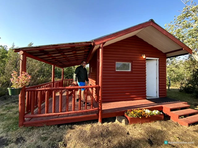
We stayed in a little cabin of our own just outside the park on the St. Mary side, and came in and out through the east entrance. It was COVID time, and the new vehicle reservations for Going-to-the-Sun Road were a bit frustrating to deal with.
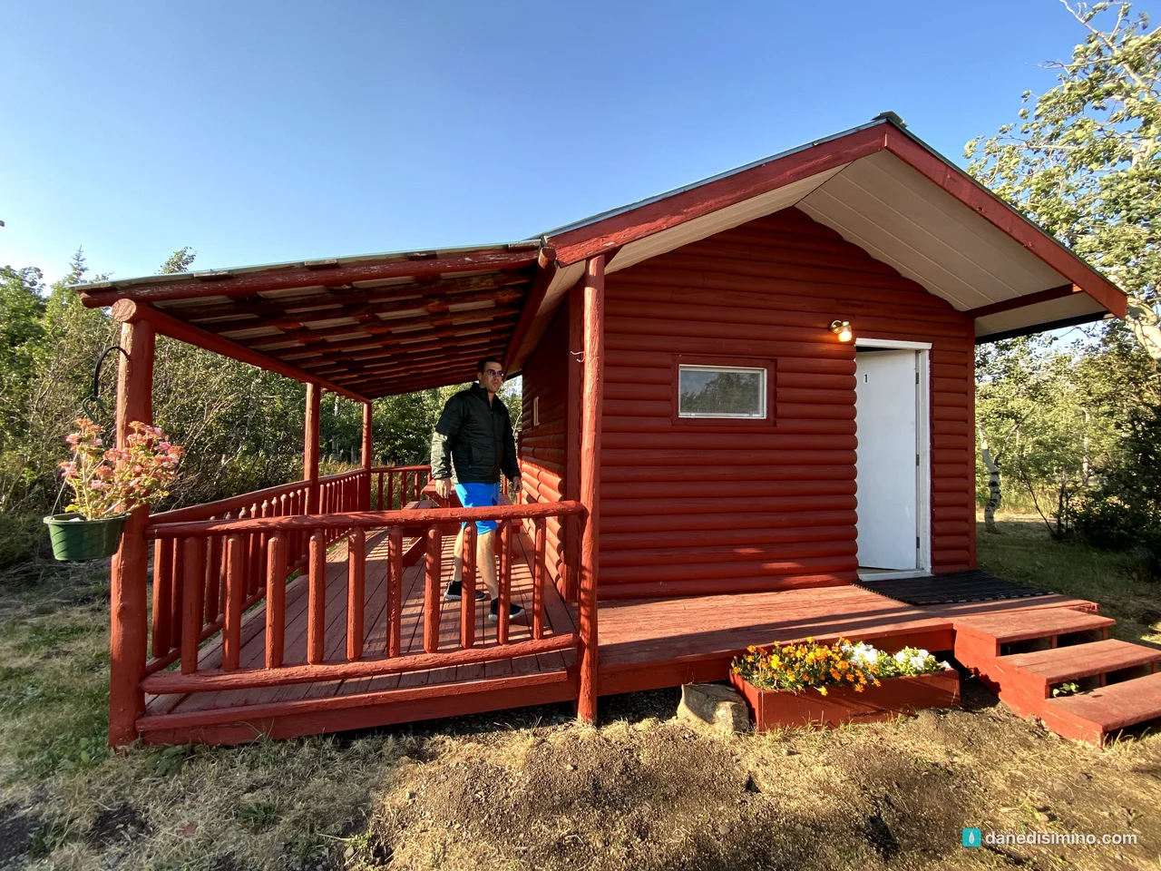
The east side put us close to Many Glacier and the Grinnell Glacier Trail. But the main attractions felt farther apart. There's a lot to do on the west side around Lake McDonald, the park's largest lake, and we just didn't have time, because we didn't want to drive back over the pass in the dark.
What I'd do differently
Research the trails. Plan distances and elevation gain so there's something great for everyone, from moderate to challenging.
Split the stay. A few nights on the east side for Many Glacier, and a few on the west side near Lake McDonald.
Give the west side more time. Lake McDonald, Apgar and the trails along the Sun Road deserve a full day or two.
What Glacier taught me
Glacier taught me that some beauty doesn't last forever. The glaciers I hiked to are melting. Ice that's been on these mountains for thousands of years won't be there for my grandchildren the way it was for me. All the more reason to go, look closely and give thanks for what's there.
"Who is the mother of the ice? Who gives birth to the frost from the heavens? For the water turns to ice as hard as rock, and the surface of the water freezes." (Job 38:29–30, NLT)
The One who made the ice is the One who made me.
Questions?
Ask me anything about Glacier: the Grinnell Glacier hike, fishing Hidden Lake, Going-to-the-Sun Road reservations, or where to stay. I answer every question.
Photos
Sources
- Glacier National Park (NPS)
- Glaciers (NPS)
- Geologic formations (NPS)
- History and culture (NPS)
- Drive Going-to-the-Sun Road (NPS)
- Going-to-the-Sun Road: ticketed entry (NPS)
- Hidden Lake Trailhead (NPS)
- Grinnell Glacier Trailhead (NPS)
- Trail of the Cedars (NPS)
- Wild Goose Island Overlook (NPS)
- Fishing (NPS)
- Mountain goats (NPS)
- Fees and passes (NPS)
Pathlight
Park guides from the road. A printable trip sheet comes with them when one is ready.