
NATIONAL PARKS
Mesa Verde
A Field Guide
On this page
One September day among cliff dwellings built more than 700 years ago: the drive up the green table, Park Point, Cliff Palace from the overlook, and the pithouses of the Mesa Top Loop. Ten stars for history, two for scenery, and why I'd pair it with Canyonlands.
Version 1.1 · Updated Nov 17, 2026
Map
When to go
Average monthly visits, 2023–2025. Source: NPS visitor statistics. ● marks the months we visited.
| January | 5,270 |
|---|---|
| February | 6,207 |
| March | 15,489 |
| April | 26,893 |
| May | 55,151 |
| June | 90,013 |
| July | 84,247 |
| August | 66,838 |
| September | 60,729 |
| October | 50,904 |
| November | 12,497 |
| December | 8,558 |
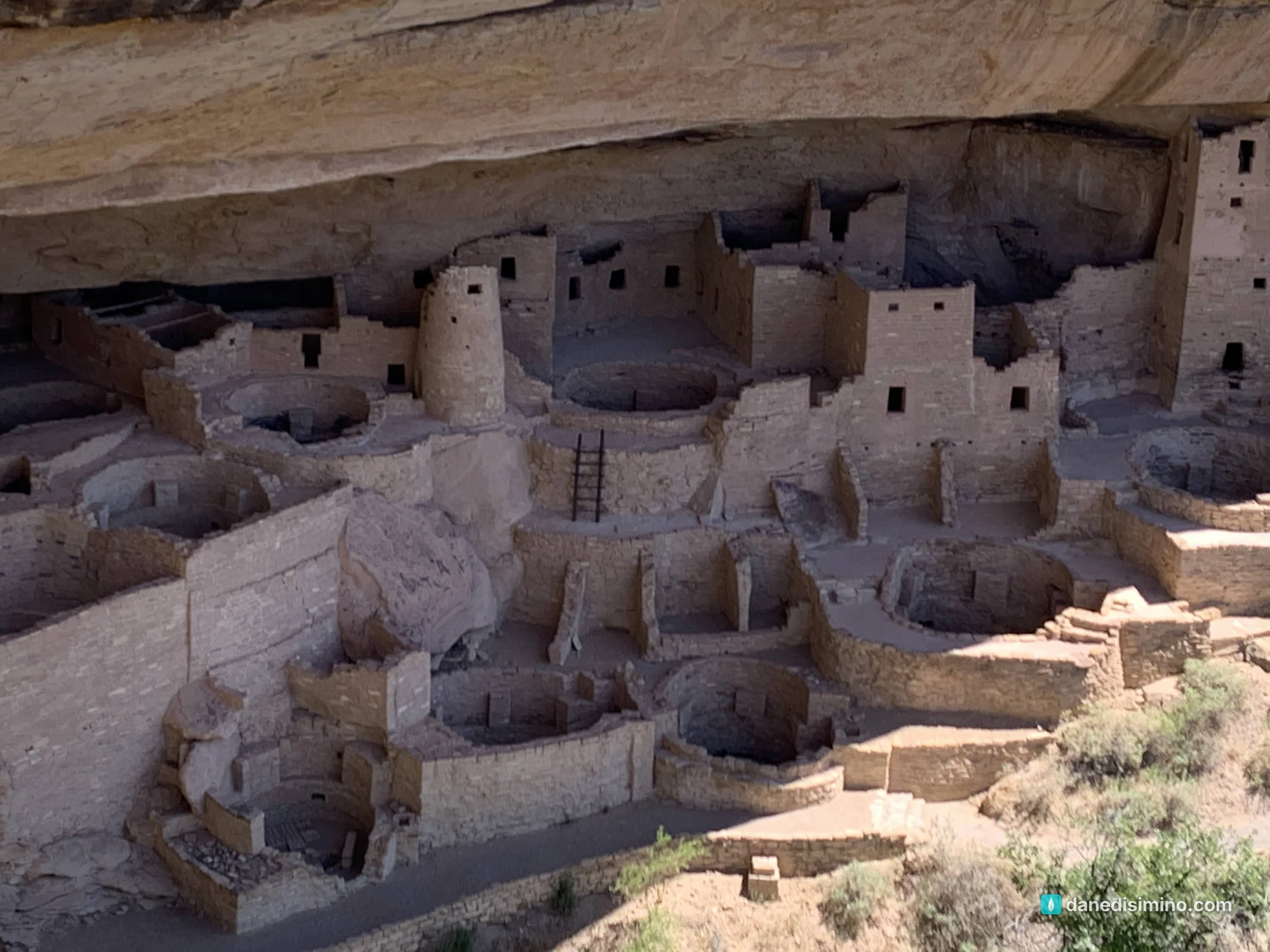
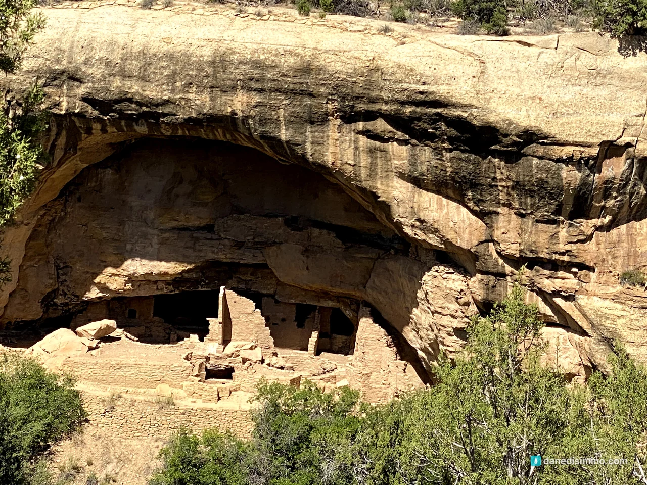
Mesa Verde isn't the best park for natural scenery. But standing at the overlook and realizing you're looking at homes people built into a cliff more than 700 years ago, still standing, is remarkable. You can see how they lived: the rooms, the round kivas, the way a whole community fit into one alcove.
So here's my rating. Mesa Verde gets ten stars for archaeology and history and about two for scenery. That's not a reason to skip it. It's a reason to pair it with somewhere that has the scenery, and Canyonlands is about two hours away.
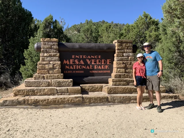
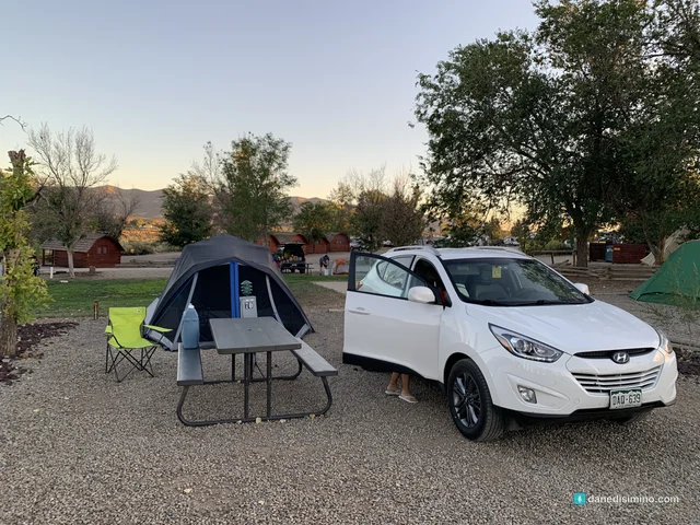
We went in early September 2020, camped in Cortez the night before, and spent a full day in the park.
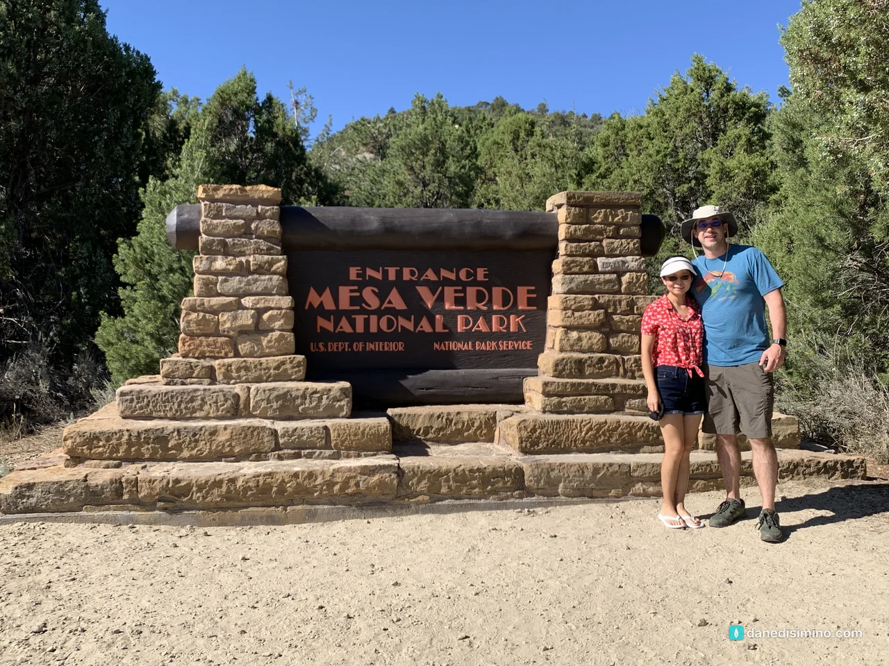
Ten stars for archaeology and history. Two for scenery. Go anyway, and go for the history.
The short version
It's a history park. The cliff dwellings are the reason to come. Learn a little before you go and the overlooks come alive.
Book a tour to go inside. You can only enter Cliff Palace and the other big dwellings on a ranger-led tour. Tickets open on Recreation.gov 14 days ahead and go fast.
Allow for the drive. Your first view of a cliff dwelling is 21 miles and about 45 minutes up a steep, winding road. Plan two hours just to drive in and out.
One day is enough. You can see the highlights in an afternoon. Spend the rest of the trip somewhere with big scenery.
Pair it with Canyonlands. The Needles District, on the park's east side, is about two hours away.
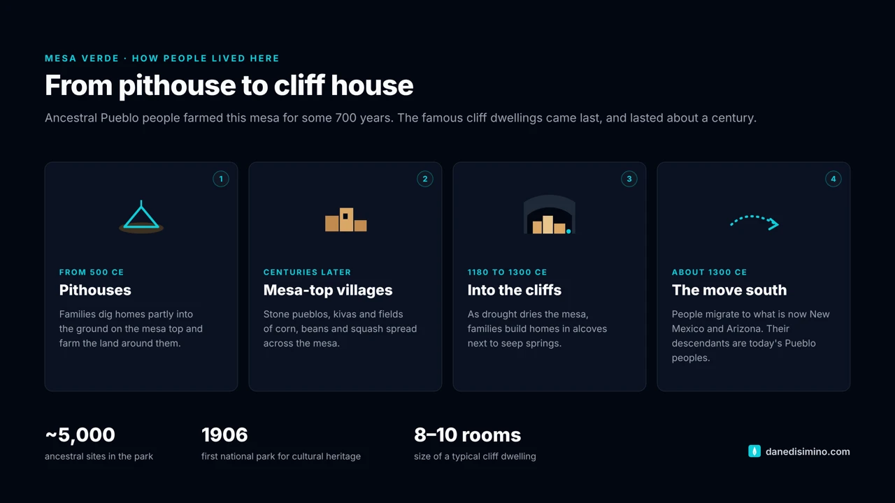
The park at a glance
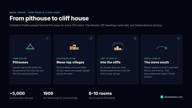
- ~5,000
- Ancestral sites in the park
- 8,572 ft
- Park Point, the highest spot
- 21 mi
- To your first cliff dwelling view
- 1906
- First national park for cultural heritage
Where: southwest Colorado, between Cortez and Mancos on U.S. 160. About six and a half hours from Colorado Springs.
Entrance fee: $15 to $30 per vehicle depending on the season. The park is cashless.
When: June is the busiest month and January the quietest. Cliff dwelling tours run from about mid-May to late October.
The name: Mesa Verde is Spanish for "green table," and you'll see why as you drive in. Technically it's a cuesta, not a mesa: the whole thing tilts gently to the south.
Contact: nps.gov/meve. In an emergency, call 911.
The drive up the green table
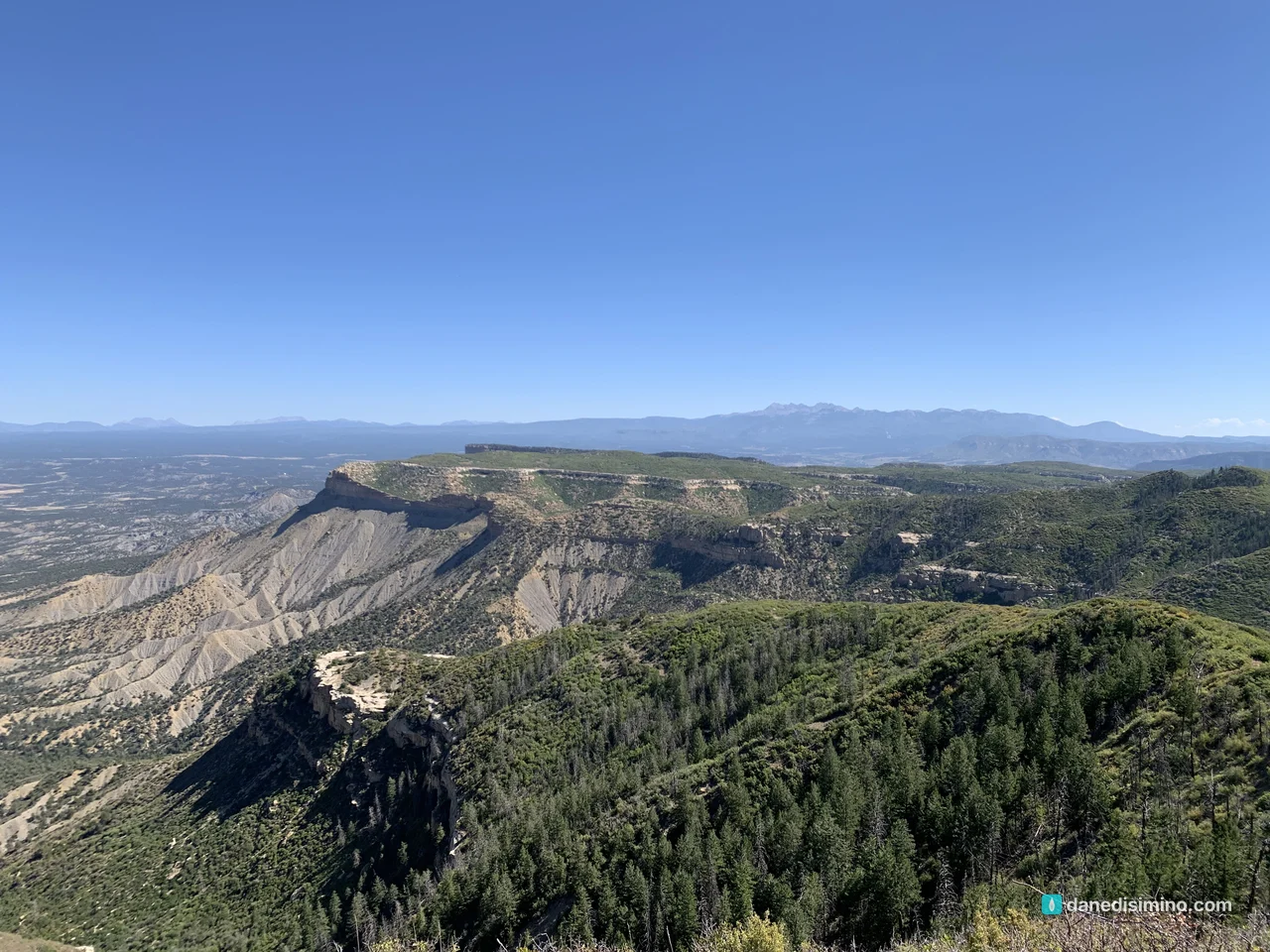
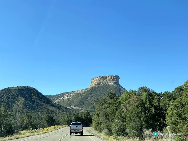
The best natural scenery in the park is on the way in. Coming down U.S. 160, the mesa rises out of the valley, green with piñon and juniper, with the sheer face of Point Lookout at the front. The park road climbs straight up it in switchbacks.
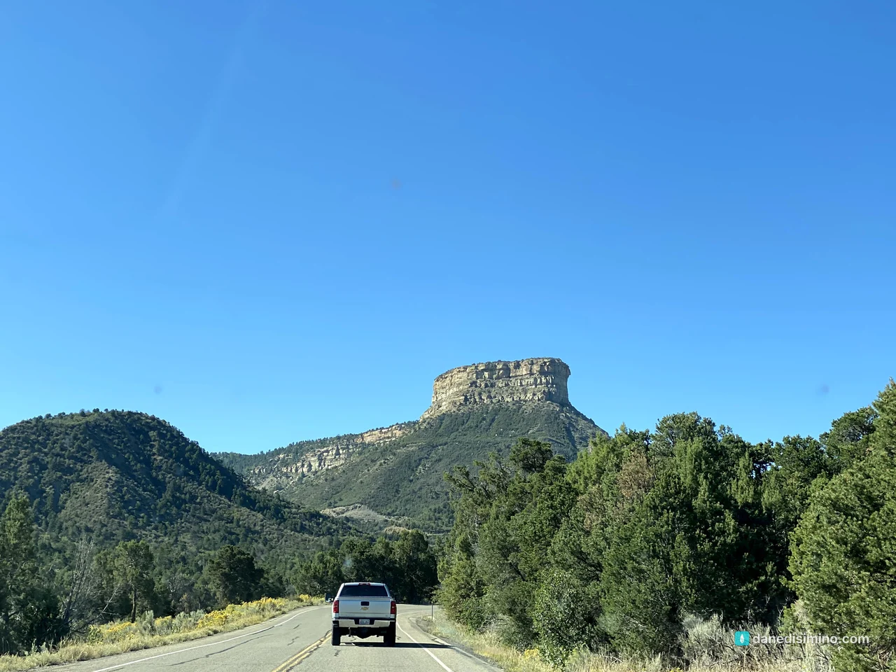
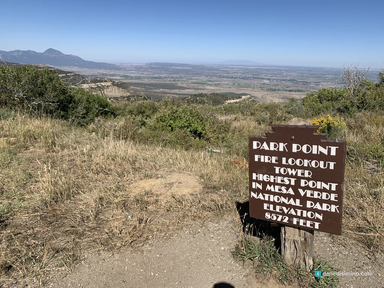
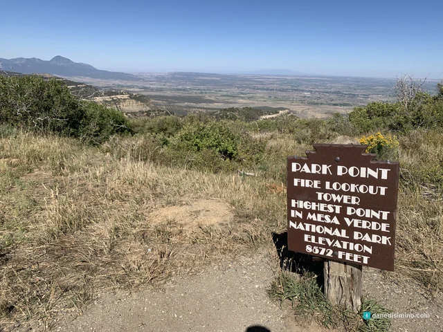
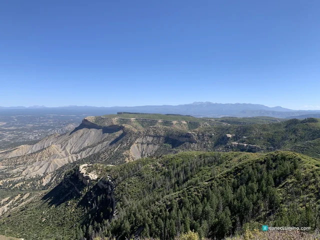
Stop at Park Point on the way. It's the highest spot in the park at 8,572 feet, a short, steep walk from the parking lot to a historic fire lookout, with views across the Four Corners. Ute Mountain is the long ridge to the west.
Cliff Palace
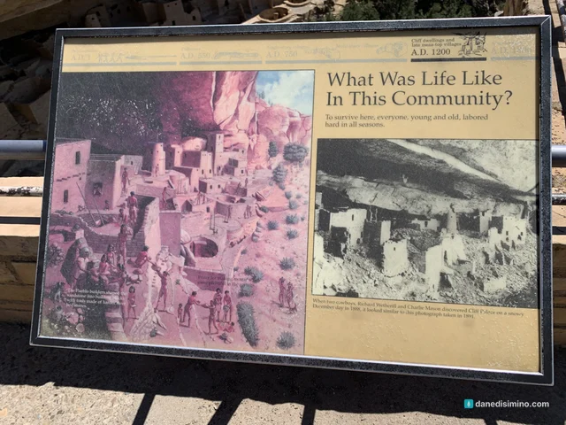
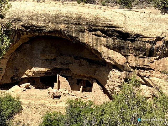
Cliff Palace is the largest known cliff dwelling in North America, and the one on every postcard. We saw it from the overlook on the Cliff Palace Loop, and even from across the canyon it's hard to take in: stacked stone rooms, towers and kivas tucked under a huge overhang of rock.
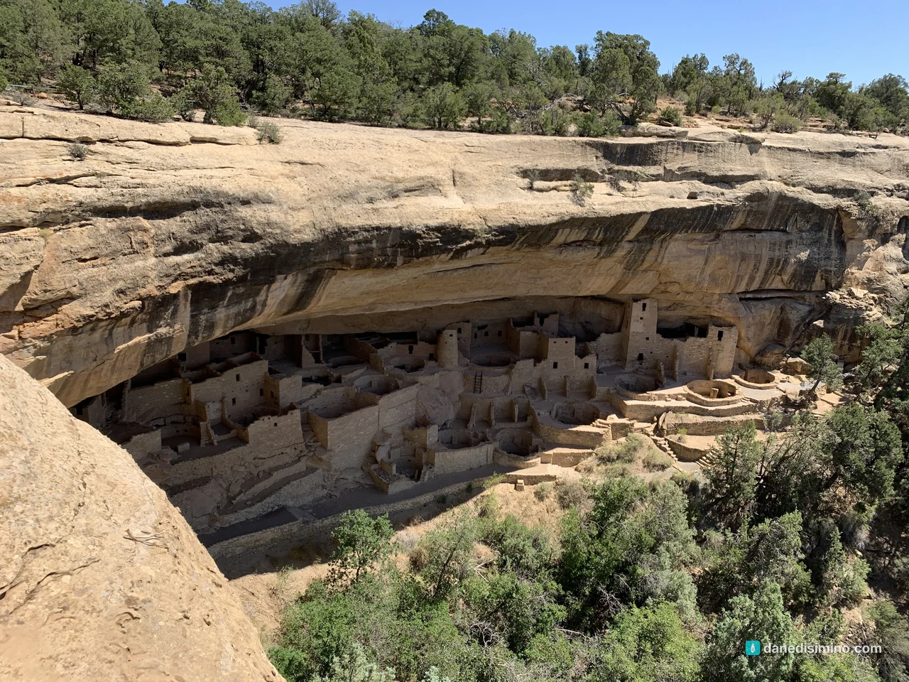
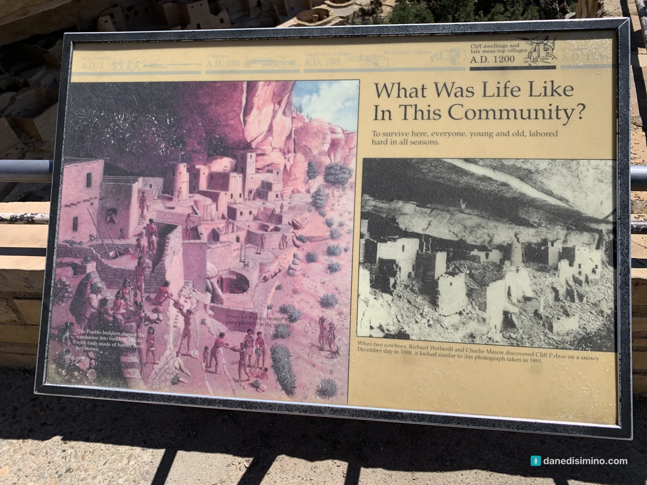
Why live in a cliff? The park's archaeologists point to water. Most cliff dwellings were built next to seep springs, some of the only permanent water on the mesa, during a time of long droughts. As the mesa-top reservoirs became less reliable, people moved their homes to where the water was. They built them to last, too, and the stone walls are still standing more than 700 years later.
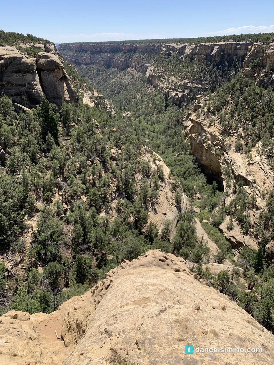
The Mesa Top Loop
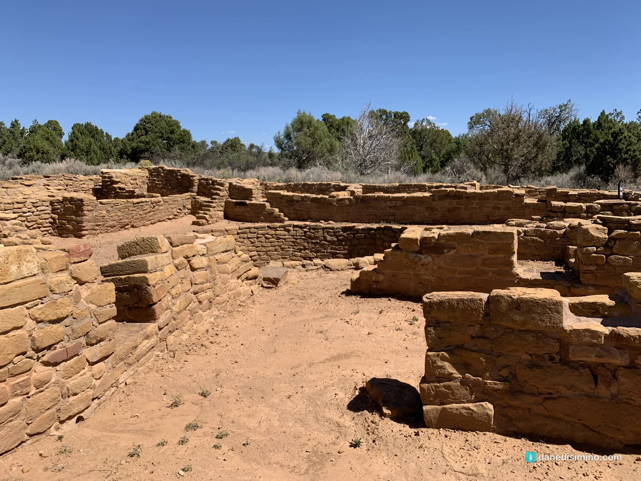
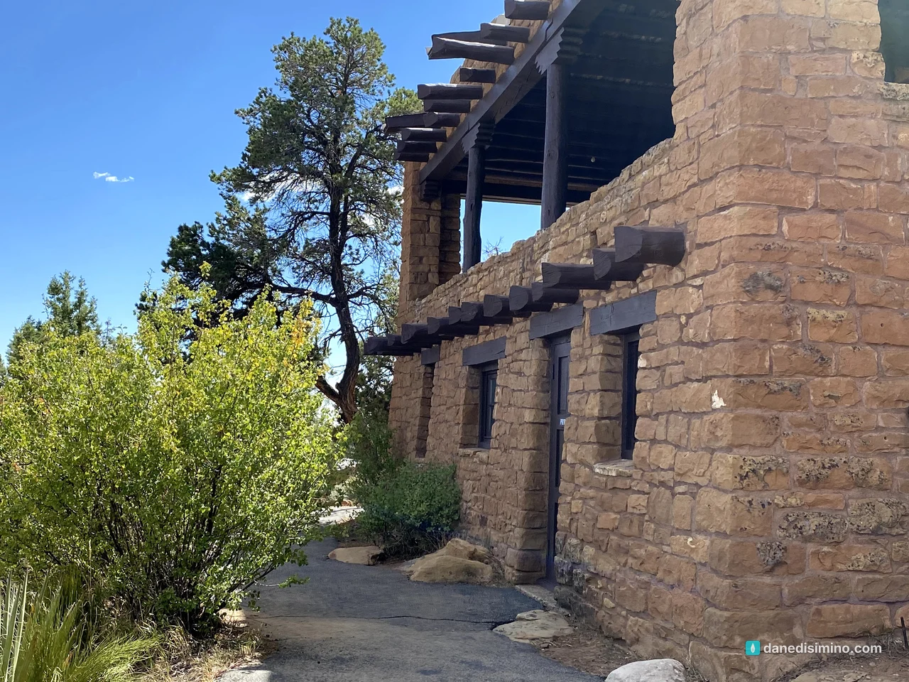
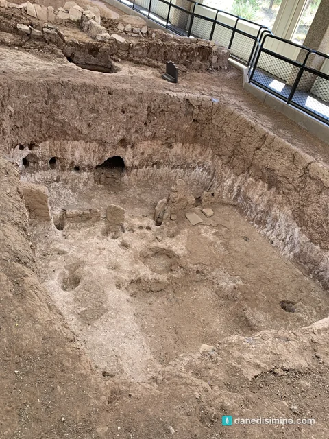
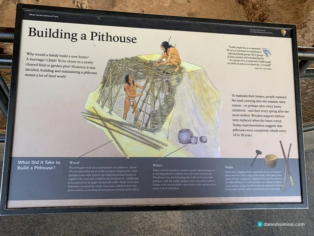
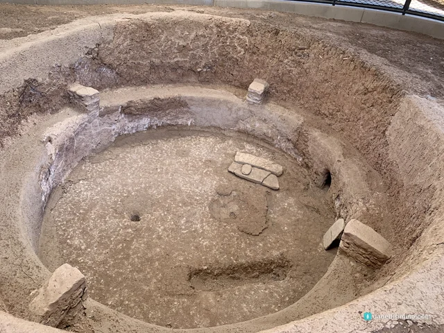
In the afternoon we drove the Mesa Top Loop, a short road with pullouts that walk you through the whole story in order. It starts with pithouses, the first homes here: families dug them partly into the ground and roofed them with timber and earth. You can see the outlines of the floors under protective shelters.
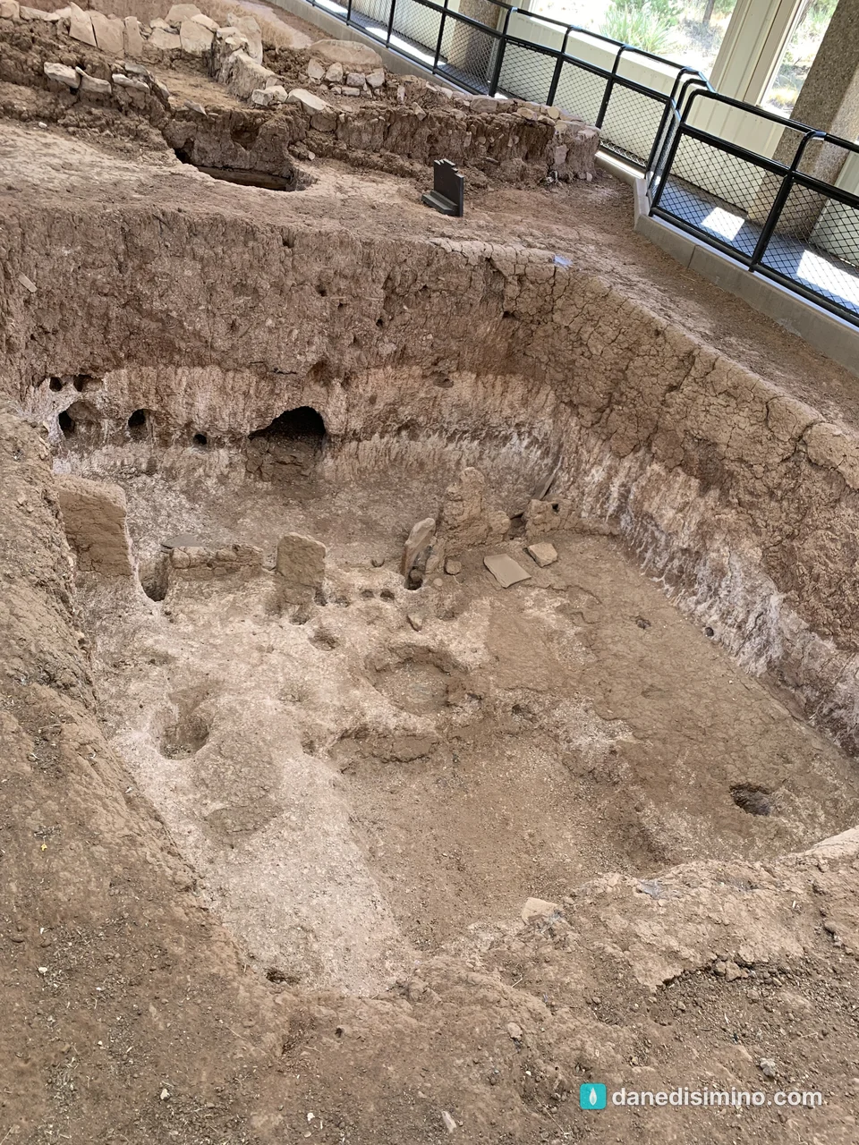
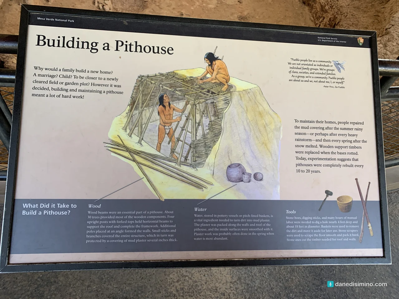
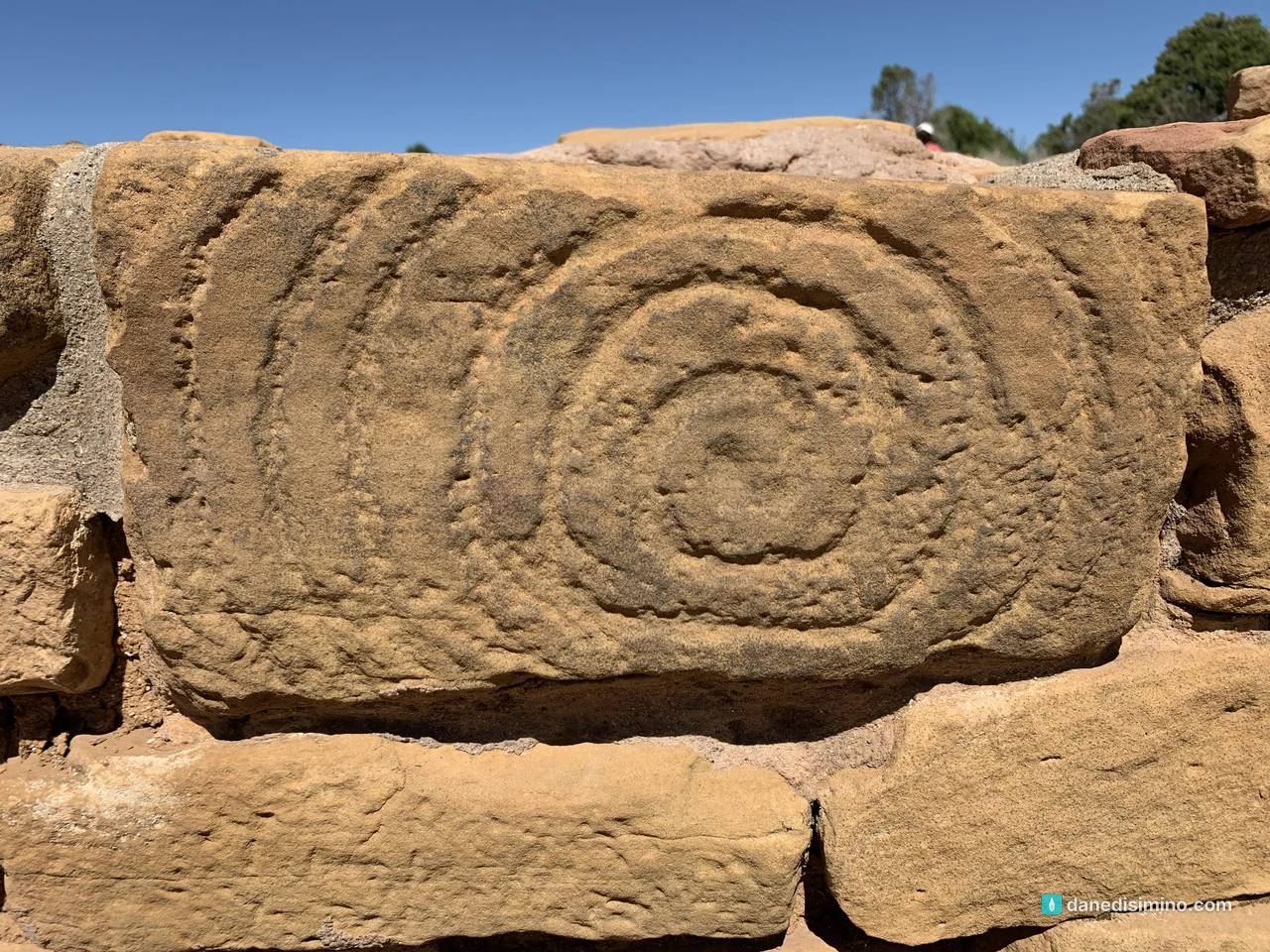
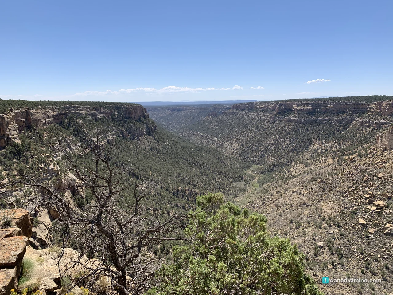
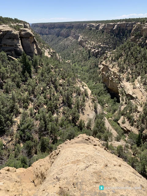
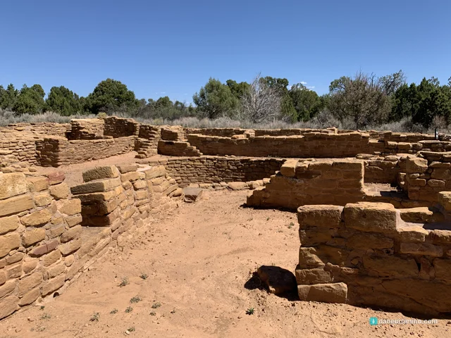
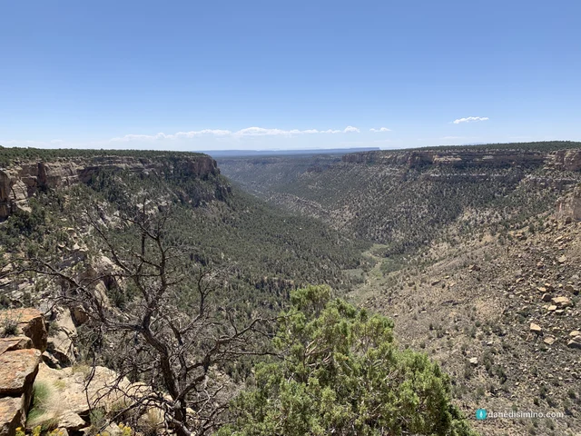
Later sites show how those homes grew into stone villages and round kivas, the communal and ceremonial rooms. And from the canyon rim you can spot smaller cliff dwellings tucked into the alcoves across the way.
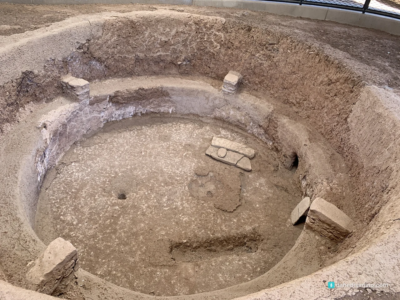
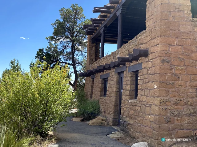
Before you leave Chapin Mesa, stop at the Mesa Verde Museum. It's the best place to understand what you've just seen, and rangers give daily talks at the Spruce Tree House overlook nearby.
Who lived here, and where they went
People have been coming to Mesa Verde for about 12,000 years. The oldest object found in the park is a spear point used by hunters of mammoths and giant bison.
The cliff dwellings were built by Ancestral Pueblo people. Between 500 and 1300 CE, tens of thousands of them lived across the Four Corners. They were farmers: by the 1200s, corn, beans and squash made up about 90 percent of their diet, supported by dams, terraces and reservoirs. Over seven centuries, their homes moved from pithouses to mesa-top villages to the cliff alcoves.
Then, starting in the mid-1200s, they moved south, and within a few decades Mesa Verde was empty. The 1200s brought persistent drought, scarce resources and social change. For Pueblo people, migration is also an important part of their culture: it may simply have been time to continue the journey.
They didn't disappear. Their descendants are today's Pueblo and Hopi people, who built new villages along the Rio Grande, the Little Colorado and on the Hopi Mesas. In all, 27 Pueblos, tribes and nations, including the Ute, Navajo and Apache, consider Mesa Verde a special and sacred place. Much of the surrounding land is still Ute Mountain Ute tribal land, and the tribe offers guided tours of its own ancestral sites.
In 1906, Mesa Verde became the first national park created to protect the work of people rather than nature.
Where we slept
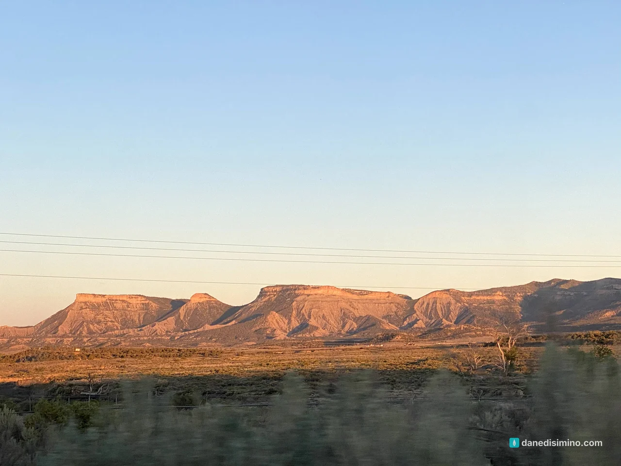
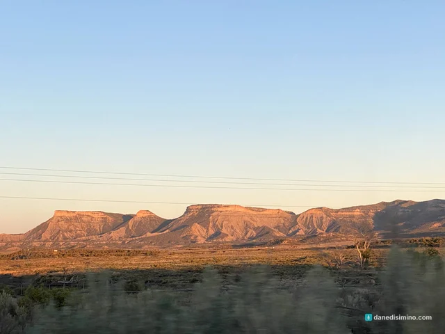
We camped at the Cortez Mesa Verde KOA, west of the park entrance, and used it as our base for Canyonlands the next day too. It was a good, easy base. The evening we arrived, the long north wall of the mesa lit up orange at sunset, one of the best views of the trip.
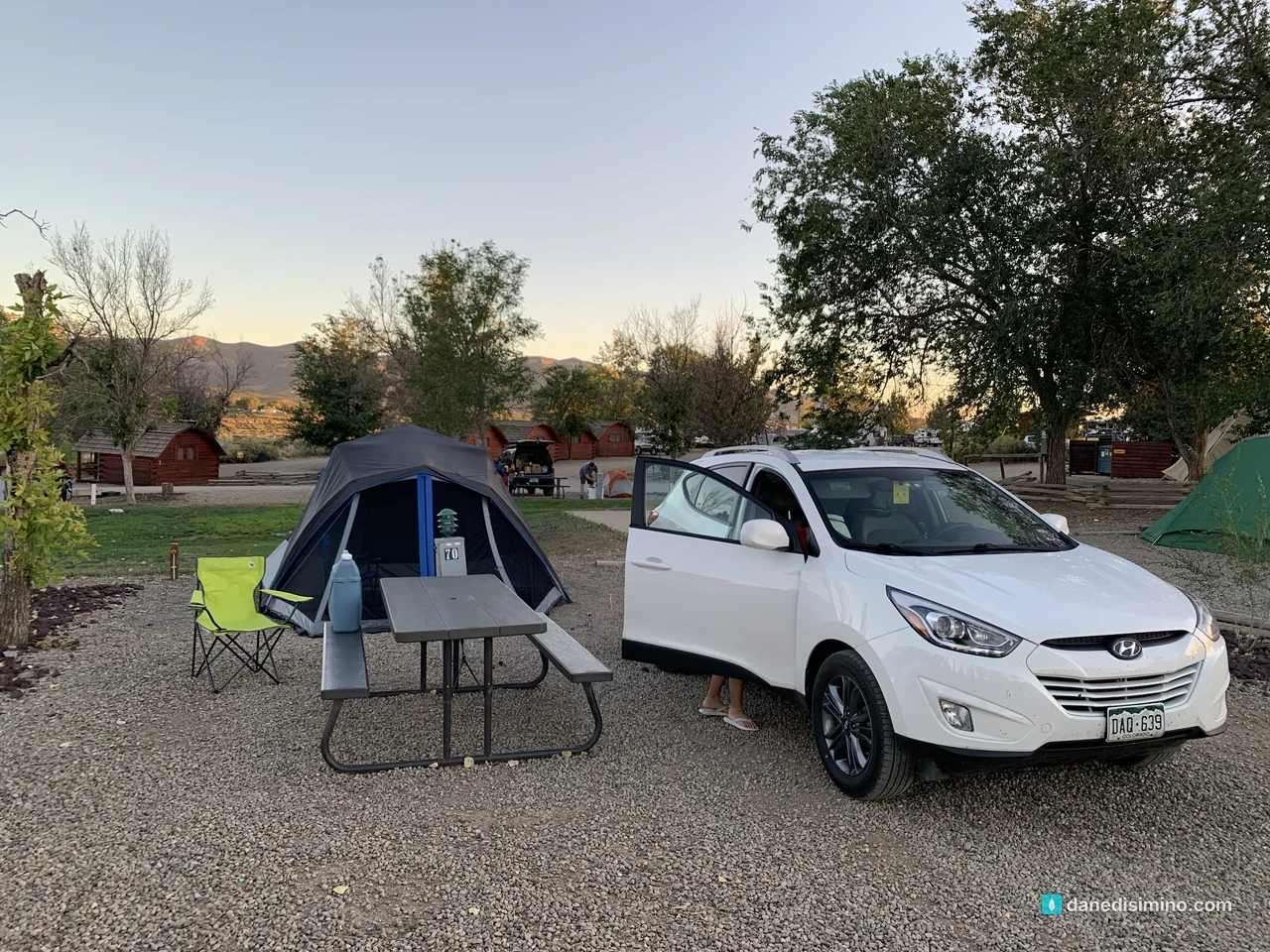
If you'd rather sleep inside the park, Morefield Campground is four miles past the entrance with 267 sites, all reservable on Recreation.gov.
Make it a bigger trip
Mesa Verde is half a day to a day. Don't drive all that way for one afternoon. Here's how I'd build the trip:
Stop at the Animas River in Durango on the way in. We did, and it was a great break from the drive.
Spend a day at Mesa Verde. Book a cliff dwelling tour if you can, then do the Mesa Top Loop and the museum.
Head west to Canyonlands. The Needles District, on the east side of Canyonlands, is about two hours from Cortez, and it has the big red-rock scenery Mesa Verde doesn't. Arches and Moab are another hour or so north. Here's my Canyonlands guide.
What I'd do differently
Book a tour. We saw Cliff Palace from the overlook. Next time we're booking a ranger tour 14 days out and climbing the ladders.
Stay for the stars. Mesa Verde is a certified International Dark Sky Park, and Morefield Campground is right there.
Plan the Canyonlands leg from the start. Mesa Verde and Canyonlands belong in the same trip.
What Mesa Verde taught me
Mesa Verde taught me how temporary our homes are. These families built stone houses into the cliffs so well that they're still standing more than 700 years later, and they lived in them for only about a century before moving on.
"For this world is not our permanent home; we are looking forward to a home yet to come." (Hebrews 13:14, NLT)
Build well. But don't mistake where you live for home.
Questions?
Ask me anything about Mesa Verde: booking a tour, where to stay, or how to fit it into a bigger Four Corners trip with Canyonlands. I answer every question.
Photos
Sources
Pathlight
Park guides from the road. A printable trip sheet comes with them when one is ready.