
NATIONAL PARKS
Zion
A Field Guide
On this page
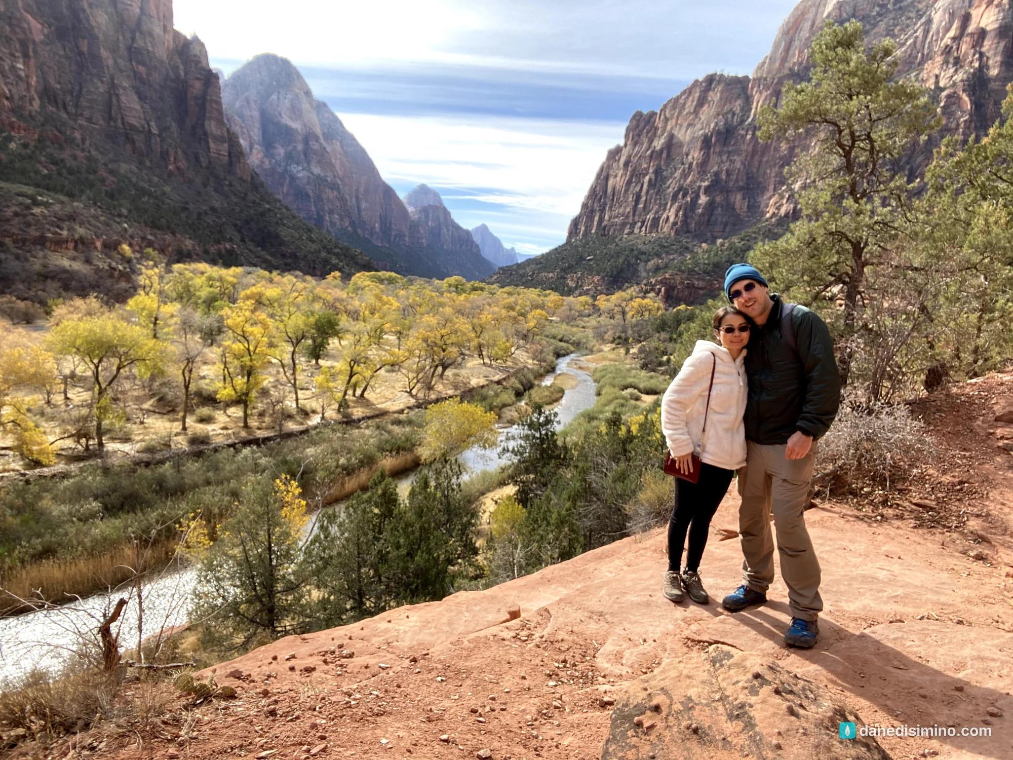
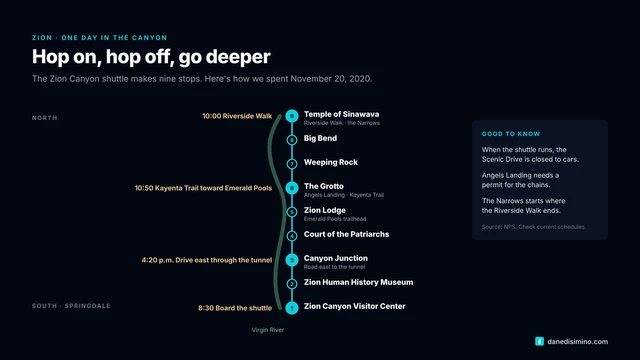
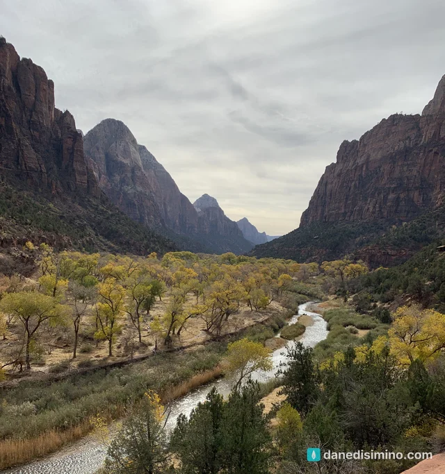
One golden day in Zion Canyon in late November 2020: the shuttle to the Temple of Sinawava, the Riverside Walk to the start of the Narrows, the Kayenta Trail above a valley of yellow cottonwoods, and the drive through the tunnel to the east side. Like walking through a painting, and how to beat the crowds.
Version 1.1 · Updated Nov 17, 2026
Map
When to go
Average monthly visits, 2023–2025. Source: NPS visitor statistics. ● marks the months we visited.
| January | 128,265 |
|---|---|
| February | 145,711 |
| March | 393,026 |
| April | 487,643 |
| May | 564,356 |
| June | 587,543 |
| July | 545,759 |
| August | 468,700 |
| September | 491,136 |
| October | 508,736 |
| November | 302,238 |
| December | 228,339 |
Zion might be in my top five parks. For the scenery alone, it's worth the trip.
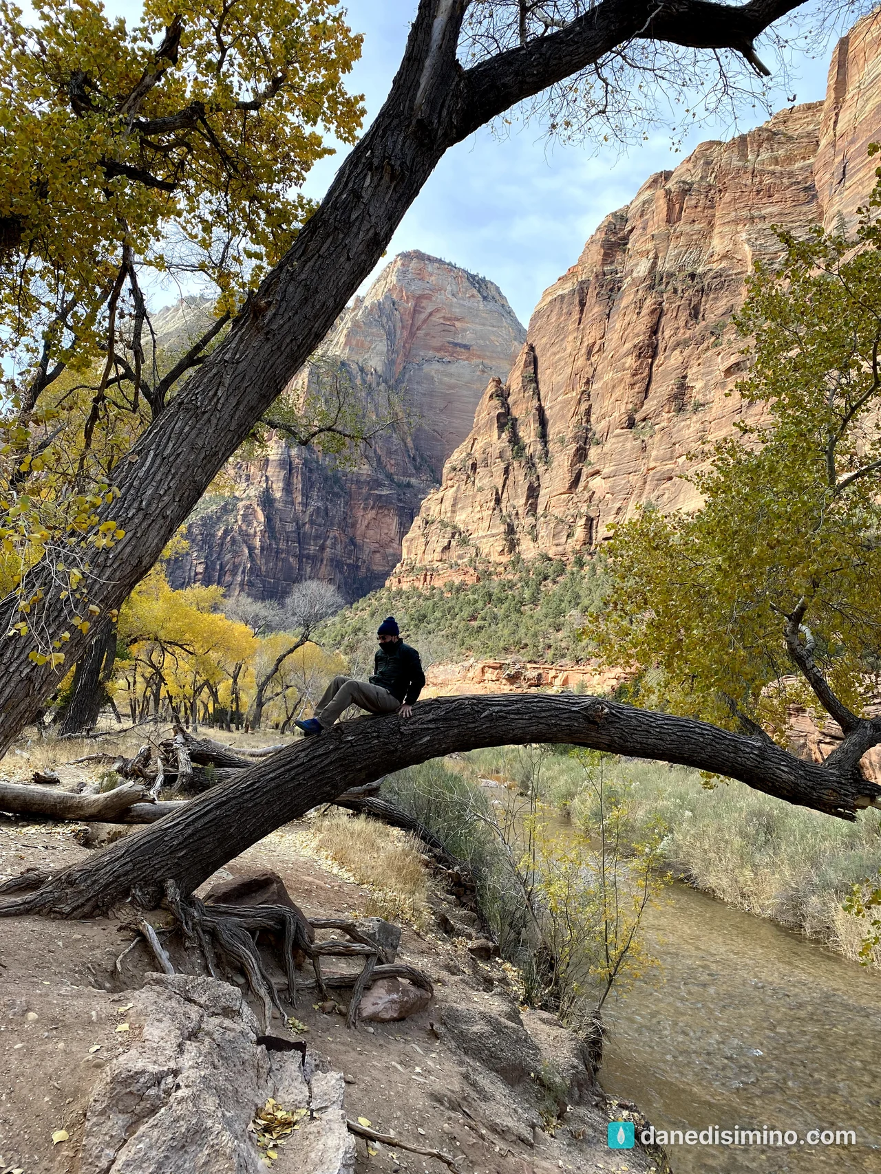
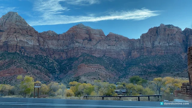
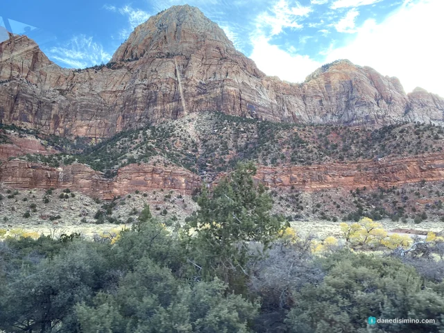
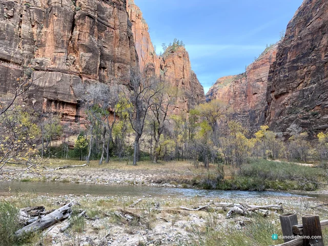
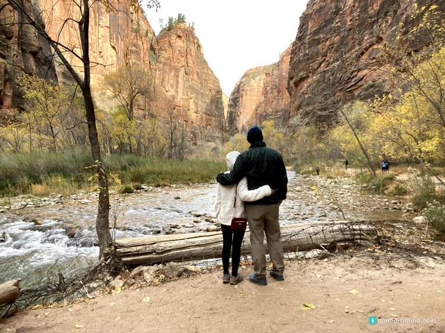
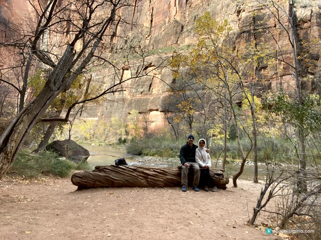
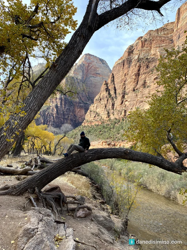
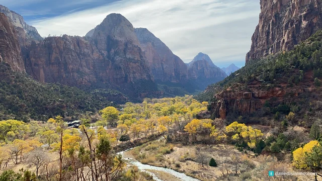
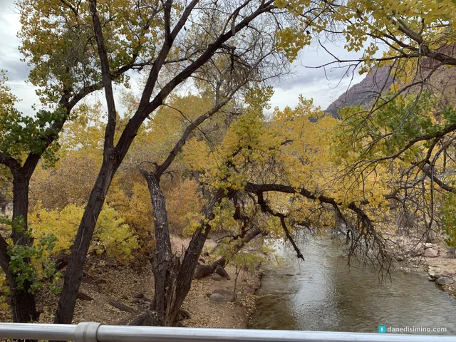
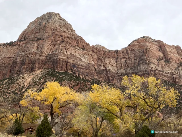
We went in late November 2020, the year the pandemic started, as the second stop on a four-park trip: Capitol Reef, Zion, the Grand Canyon's North Rim and Bryce Canyon. The cottonwoods along the river had turned gold against the red canyon walls, and the whole canyon looked like a dream. I texted a picture to a friend, and they wrote back that it looked like a painting. It truly does. It's like walking through a painting.
Some of these pictures hang on our wall at home. Some of our best memories are in Zion. The place is magical. It really does feel like angels land there.
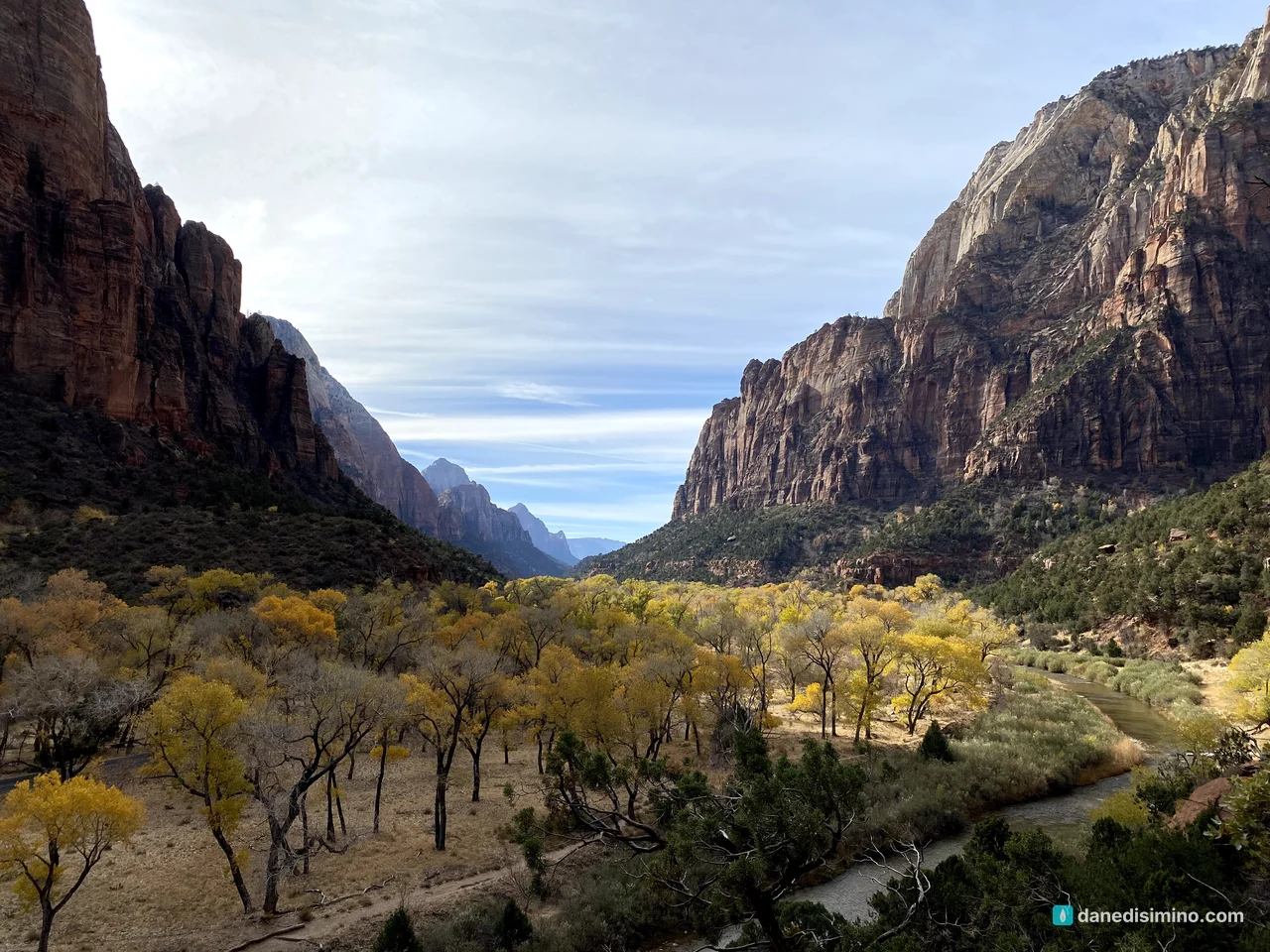
I texted a picture to a friend. They wrote back: it looks like a painting.
The short version
Ride the shuttle. Most of the year, the free shuttle is the only way up Zion Canyon. Hop off, explore, hop back on, and work your way up the canyon.
Go in the shoulder season. We went in late November, and the fall color was unforgettable. Summer crowds are brutal.
Walk the Riverside Walk. It's an easy, paved mile to where the Narrows begin.
Hike the Kayenta Trail. It climbs from the Grotto to the Emerald Pools with some of the best views of the canyon.
Decide on Angels Landing ahead of time. You need a permit for the final chains section, and it's not for everyone.
Drive through the tunnel. The Zion-Mount Carmel Highway is an adventure all its own.
The park at a glance
- 9
- Shuttle stops in Zion Canyon
- 1 mi
- Riverside Walk to the Narrows
- 1,400 ft
- Angels Landing above the canyon floor
- $35
- Per vehicle, good for 7 days
Where: southwest Utah. The main entrance is on the north edge of Springdale, the town right outside the park.
From Las Vegas: it's an easy drive, roughly two and a half to three hours northeast. If you're ever in Vegas for business or family, rent a car and go.
Entrance fee: $35 per vehicle, good for seven days. Non-U.S. residents 16 and older pay an extra $100 per person unless they have an annual pass.
When: June is the busiest month and January the quietest. About 4.8 million people visit each year, so arrive early.
Contact: nps.gov/zion. In an emergency, call 911.
How the canyon was carved
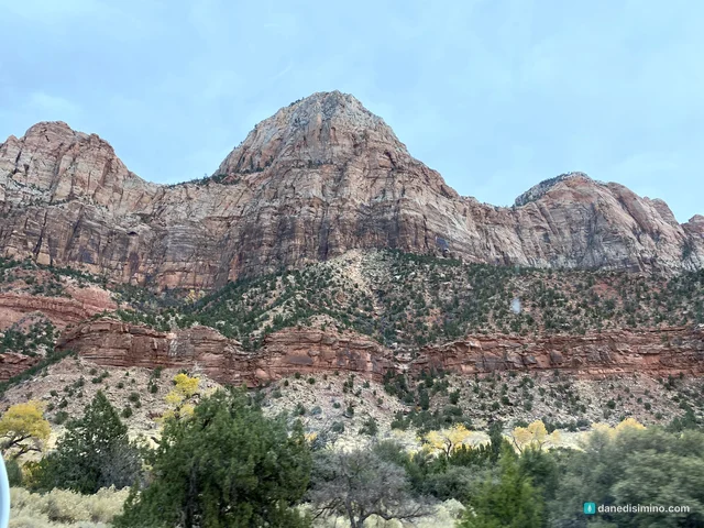
Zion sits in the middle of the Grand Staircase, a series of colorful cliffs that step down from Bryce Canyon to the Grand Canyon. The bottom layer at Bryce is the top layer at Zion, and the bottom layer at Zion is the top layer at the Grand Canyon.
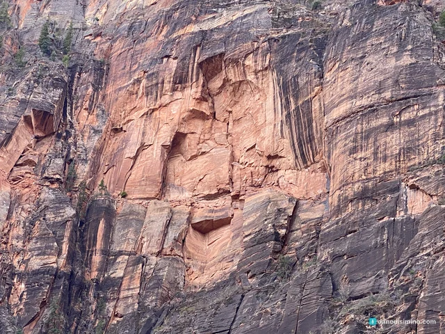
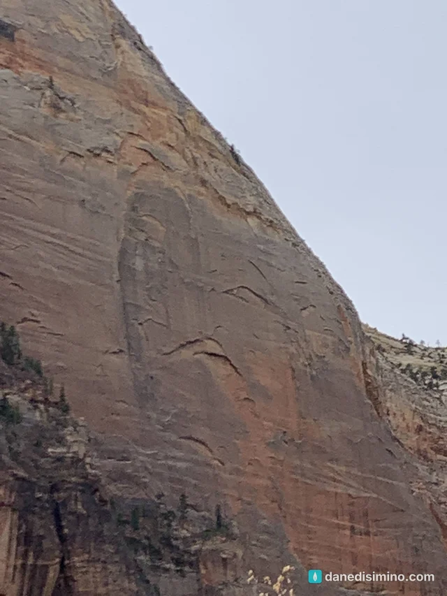
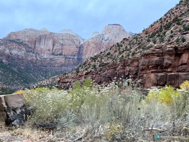
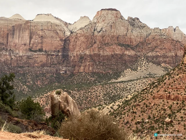
Layers. About 270 million years ago, this was a flat basin near sea level. Over millions of years it filled with layers from shallow seas, coastal plains and, eventually, a vast desert of windblown dunes. Those dunes became the Navajo Sandstone, the cream-and-red cliffs that make Zion's great walls. Look closely and you can still see the slanting lines of the ancient dunes in the rock.
Uplift. Slow forces deep in the earth lifted the region from near sea level to as high as 10,000 feet. It's still rising: a magnitude 5.8 earthquake in 1992 triggered a landslide just outside the south entrance.
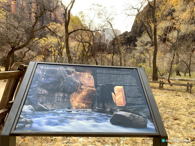
The river. Zion sits on the western edge of that uplift, so the North Fork of the Virgin River tumbles steeply off the plateau, carrying sand and boulders that cut like a saw. It has removed several thousand feet of rock. Above the Temple of Sinawava, it slices through the hard Navajo Sandstone into the slot canyon called the Narrows. At the Temple, it reaches the softer Kayenta Formation underneath, which washes out and undercuts the cliffs above, widening the canyon.
Still at work. Flash floods can multiply the river's flow more than 100 times. In 1998, a flood took the Virgin River from 200 to 4,500 cubic feet per second and damaged the scenic drive.
How Zion got its name
Zion began as Mukuntuweap National Monument, using the canyon's Native name as recorded by John Wesley Powell. President Taft proclaimed it in 1909, and it was renamed Zion in 1918 and made a national park in 1919. The name came from Isaac Behunin, an early pioneer who called his home in the canyon Zion.
Many of the peaks have biblical names, too. In 1916 a Methodist minister named Frederick Vining Fisher named the Court of the Patriarchs for Abraham, Isaac and Jacob. He's also said to have looked up at a tall fin of rock and said, "only an angel could land there." That's Angels Landing.
The shuttle
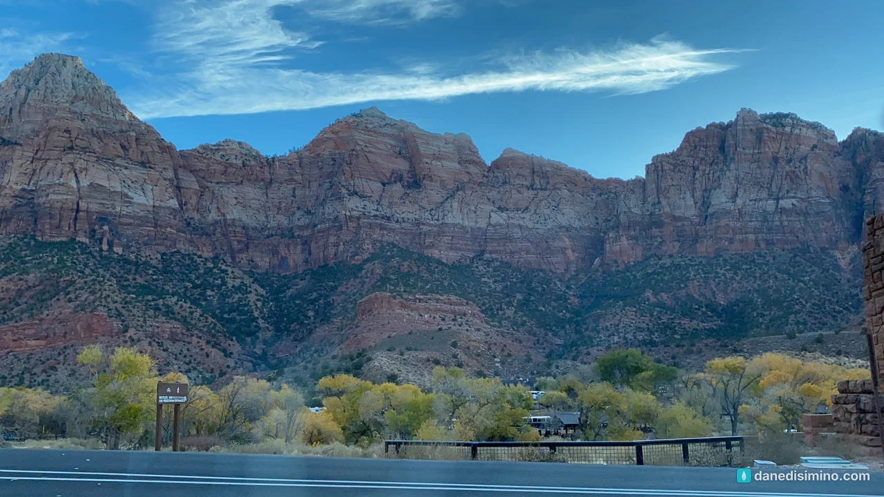
We started at the visitor center early in the morning, with the Watchman and the Towers of the Virgin glowing above the trees.
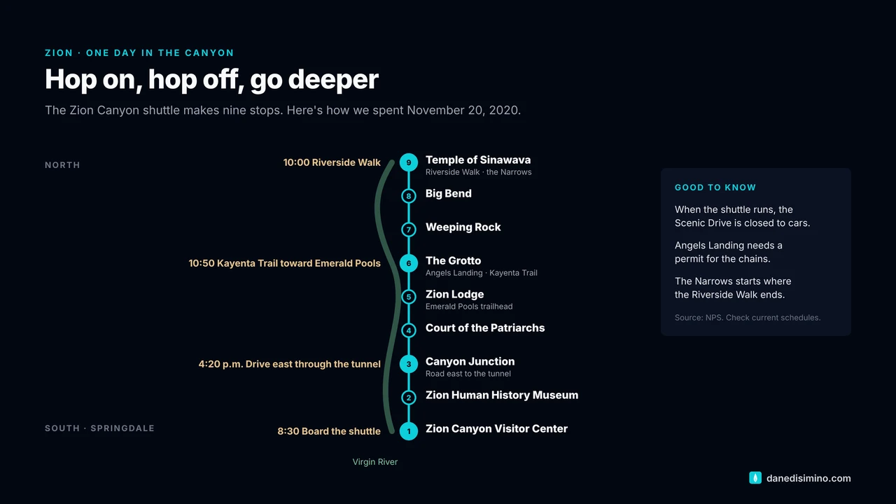
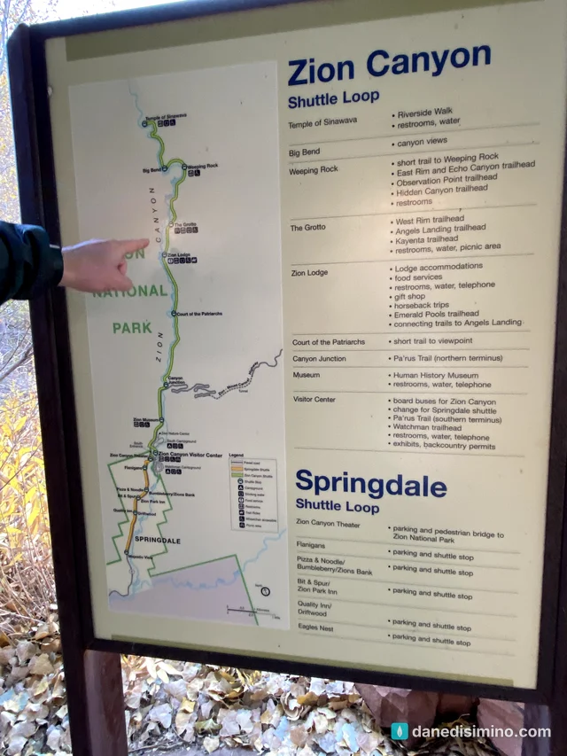
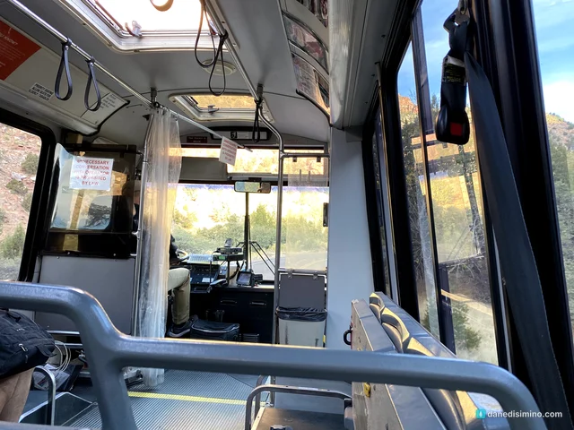
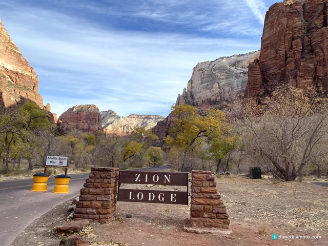
Most of the year, the Zion Canyon Scenic Drive is closed to cars, and the free shuttle is how you get around. It makes nine stops up the canyon. The idea is simple: jump off where something looks good, explore, jump back on and keep going up the road.
In 2020 the park was handing out shuttle tickets to limit crowding during COVID, and everyone rode in masks. Today you don't need a ticket or a reservation; just a park pass.
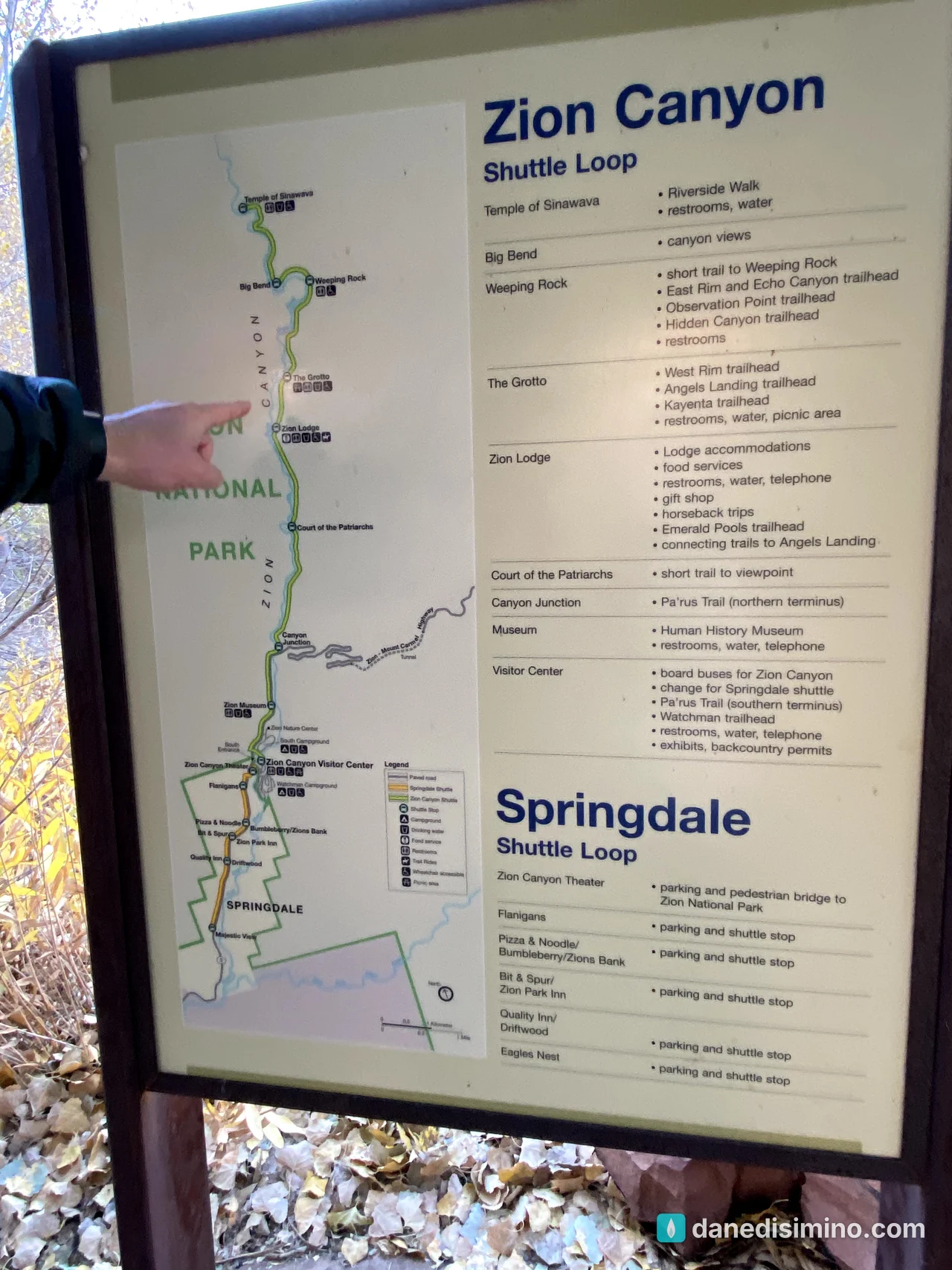
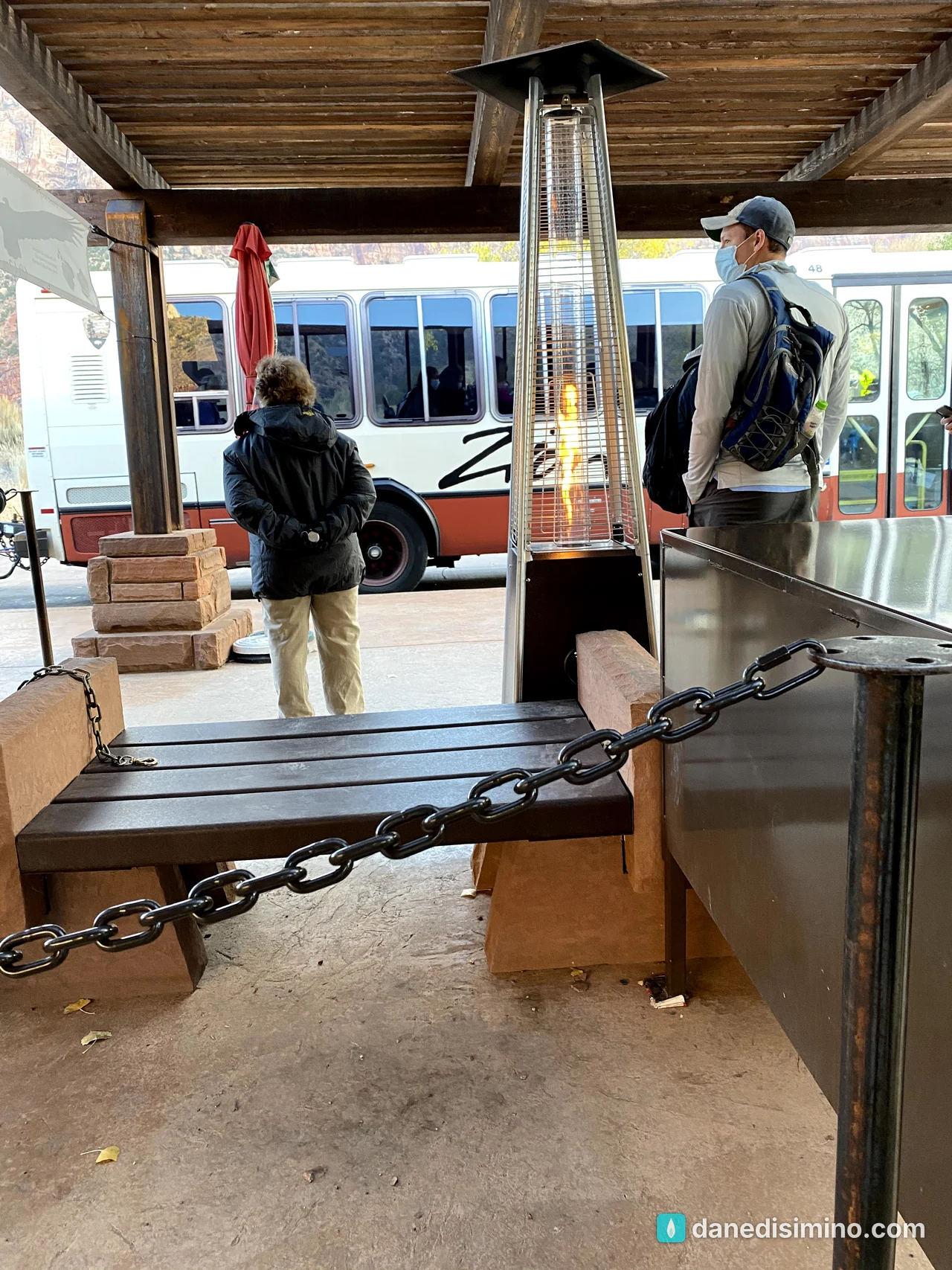
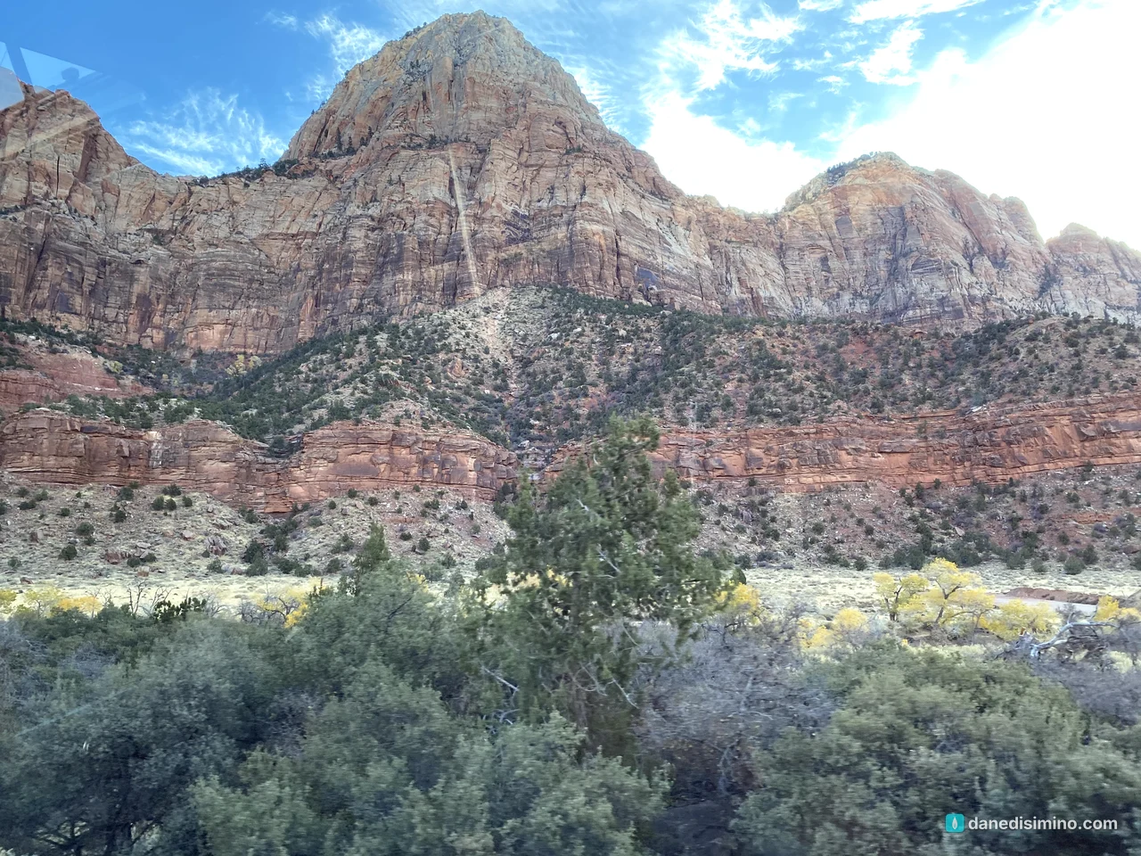
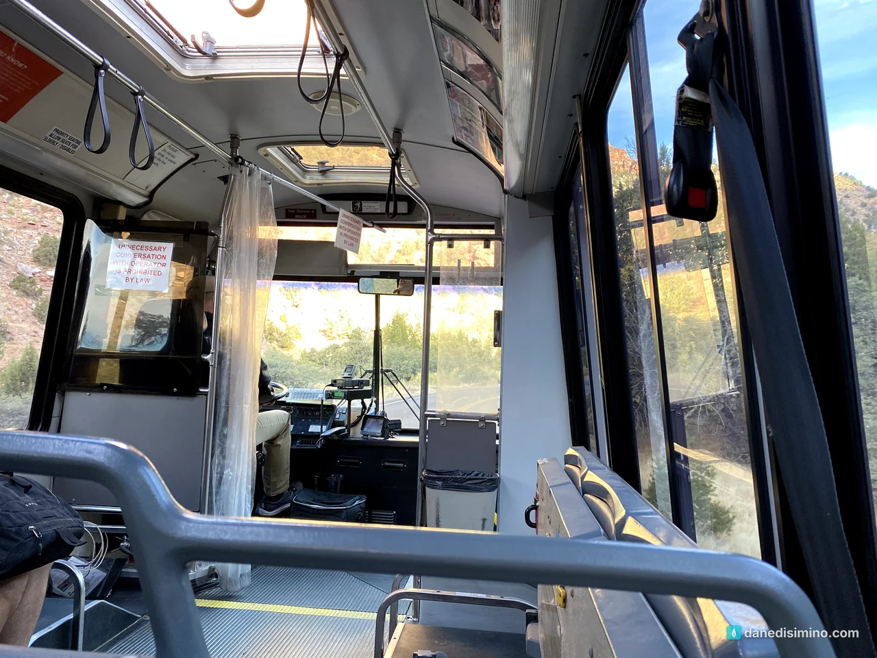
The Temple of Sinawava and the Riverside Walk
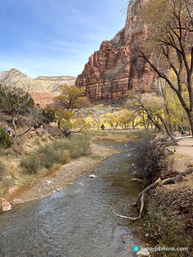
We rode to the end of the line, the Temple of Sinawava, a natural amphitheater carved by the Virgin River. From there the paved Riverside Walk follows the river for about a mile as the canyon walls close in around you.
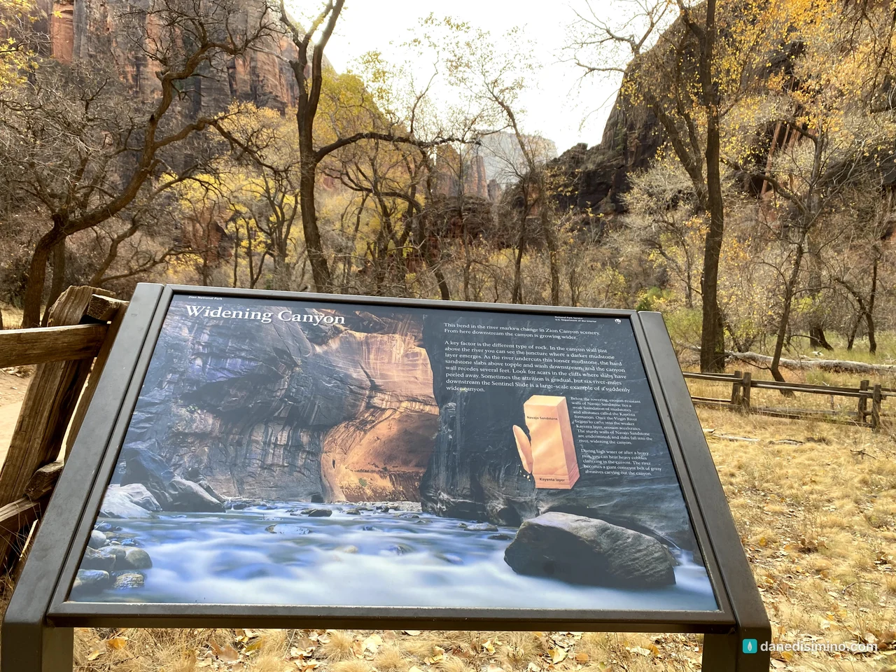
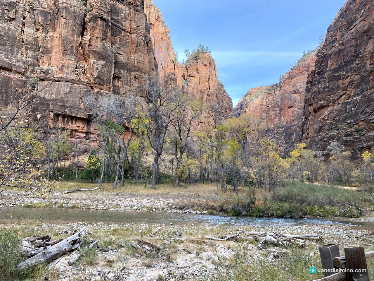
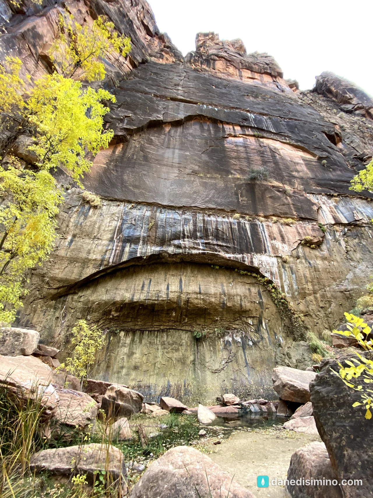
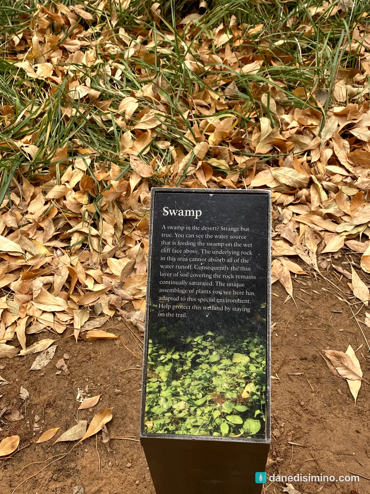
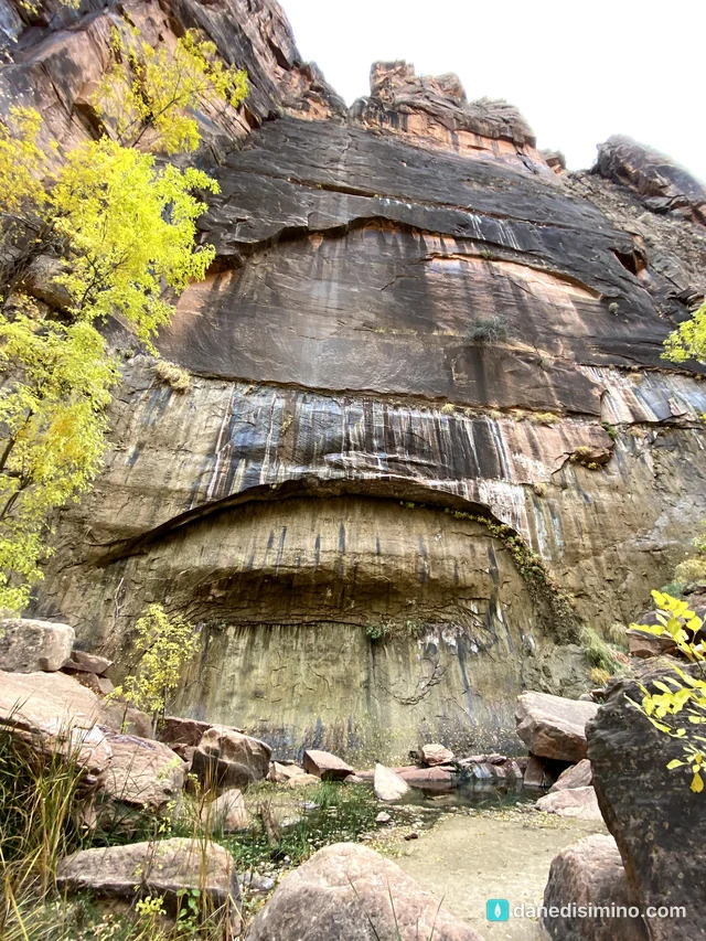
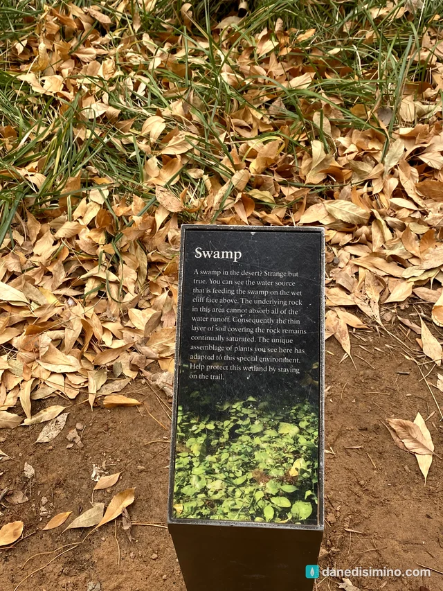
Along the way, water seeps out of the sandstone walls, feeding hanging gardens and even a small swamp, of all things, in the desert.
At the end of the paved trail, the canyon narrows to the river itself. That's where the Narrows begin.
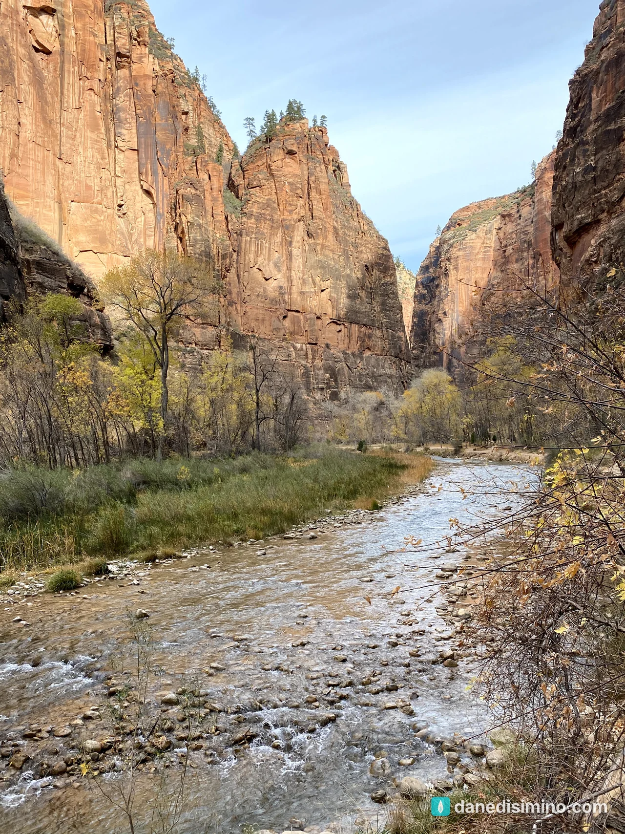
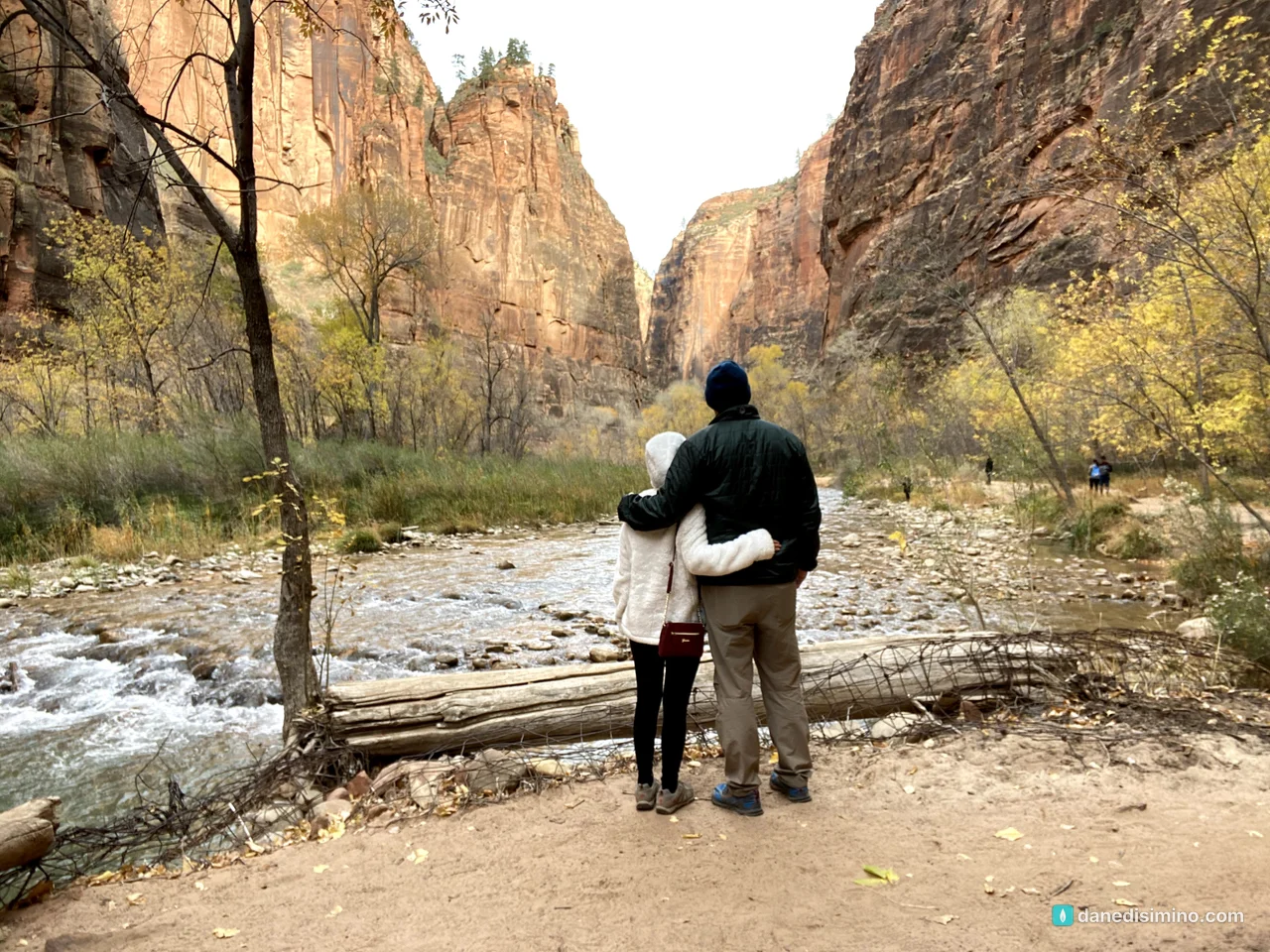
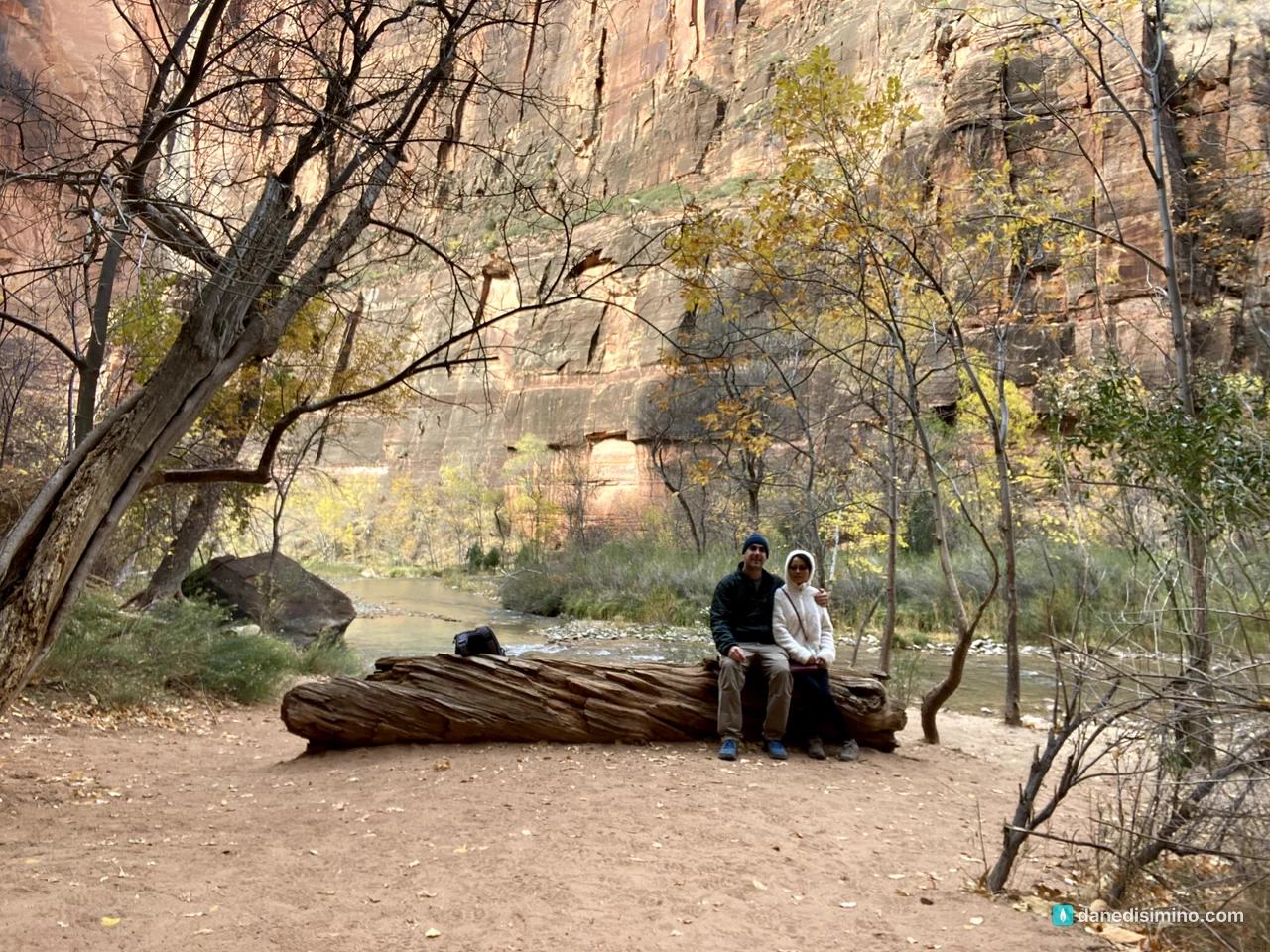
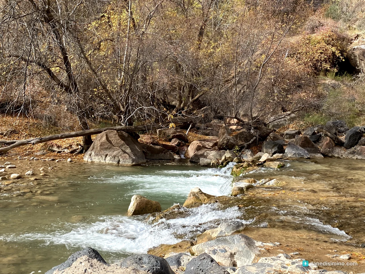
We didn't hike the Narrows. I think it was closed or booked up that year, and either way we missed it. That was sad. If you go, you don't need a permit to hike up the river from the bottom, but you'll be wading in cold water on slippery rocks, and flash floods are a real danger. Check with the park before you start.
The Grotto and Angels Landing
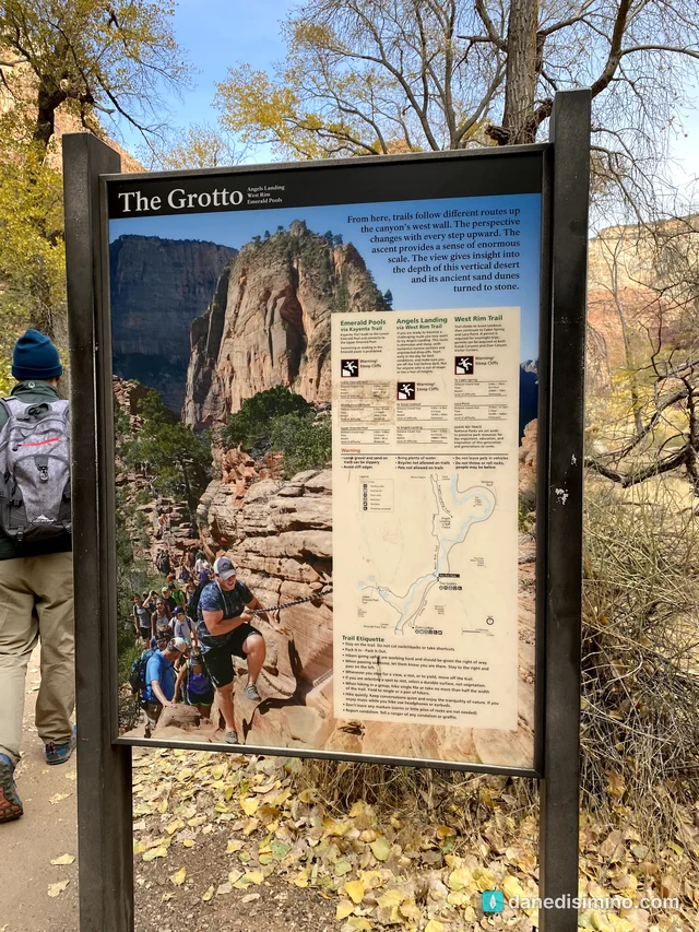
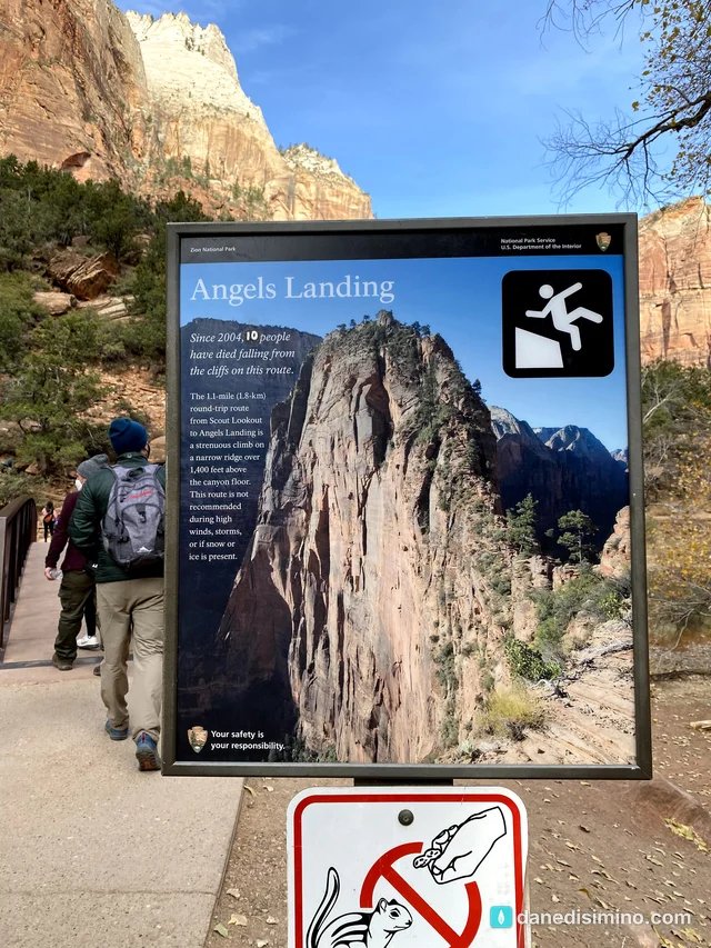
Next we got off at the Grotto, the trailhead for Angels Landing, the West Rim and the Kayenta Trail. A sign by the bridge spells out the risk of Angels Landing bluntly. In 2020 it said 10 people had died falling from that route since 2004. The last stretch, from Scout Lookout to the summit, is a 1.1-mile round trip on a narrow ridge more than 1,400 feet above the canyon floor, with chains to hold onto.
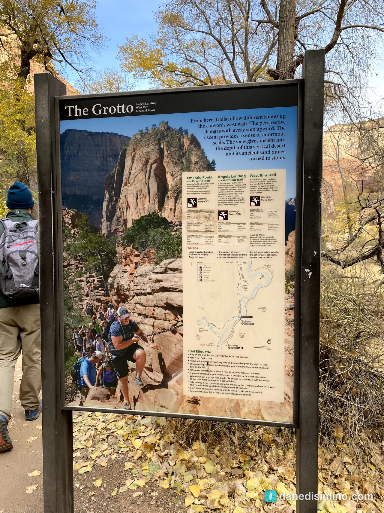
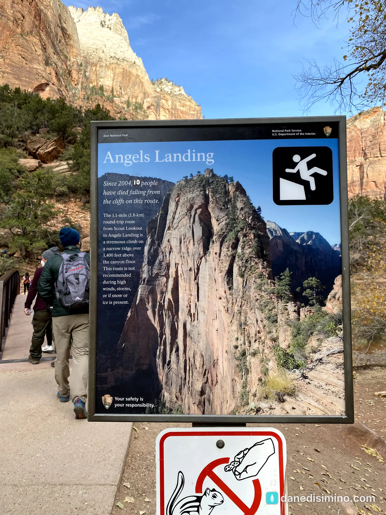
We skipped it. It seemed too dangerous for us; we're not rock climbers. But if I could go back, I think I'd do it, just for the adventure. Carrie wouldn't.
The Kayenta Trail: walking through a painting
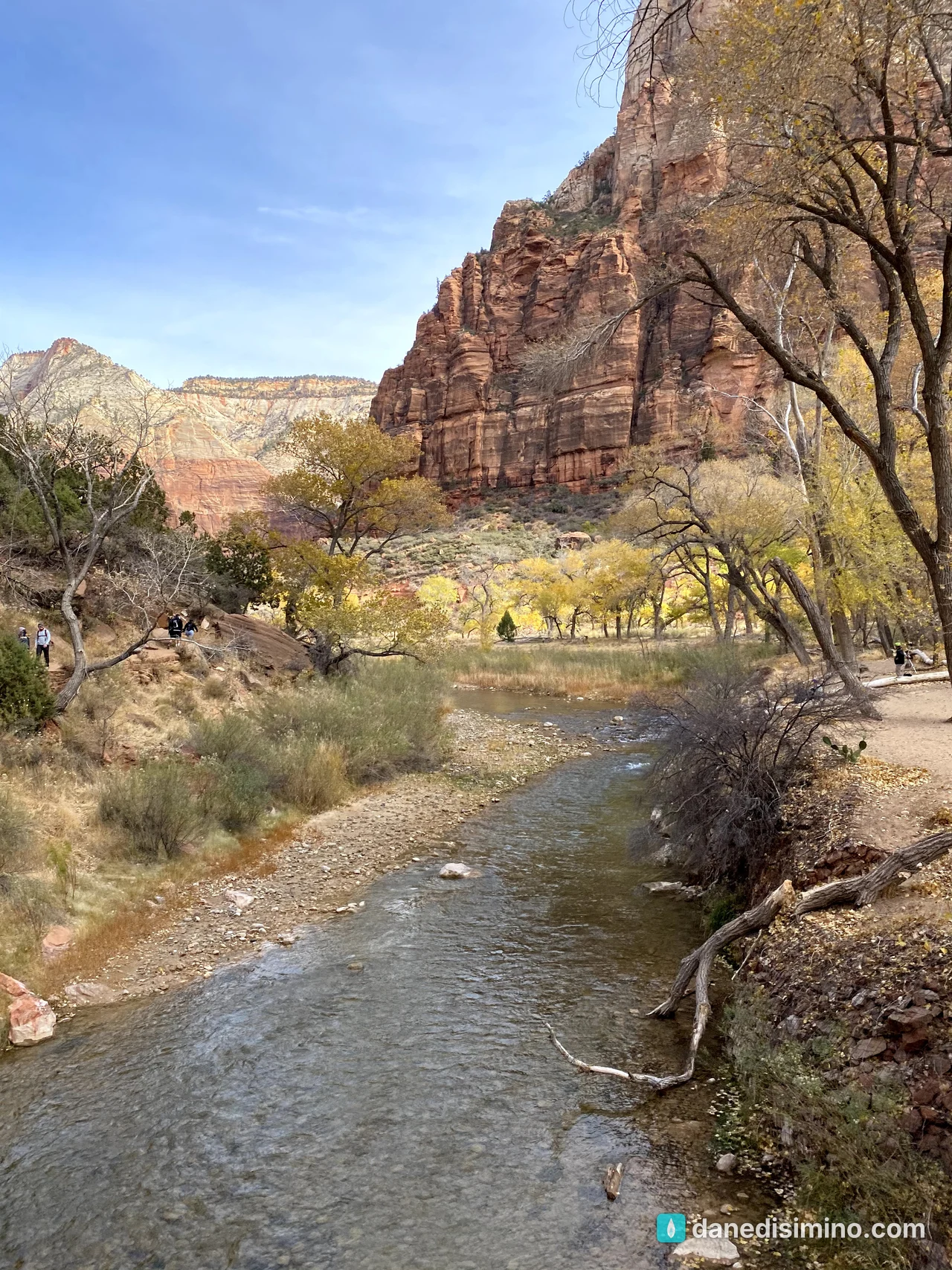
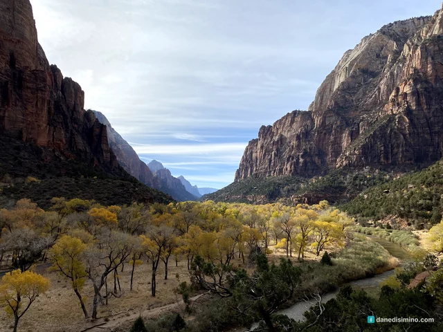
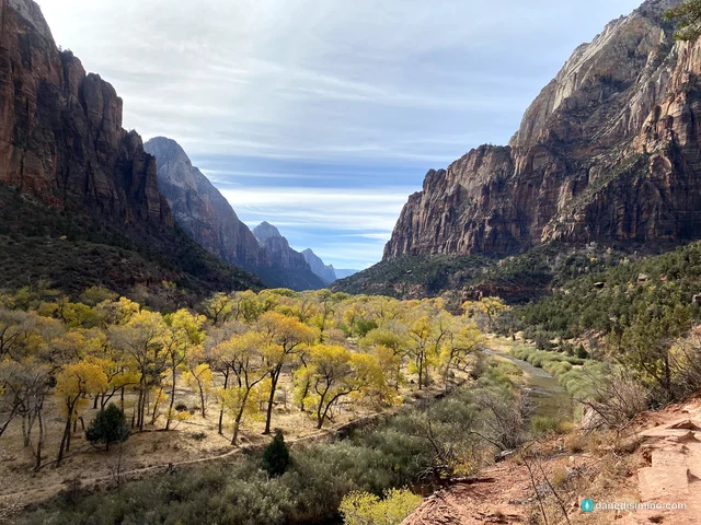
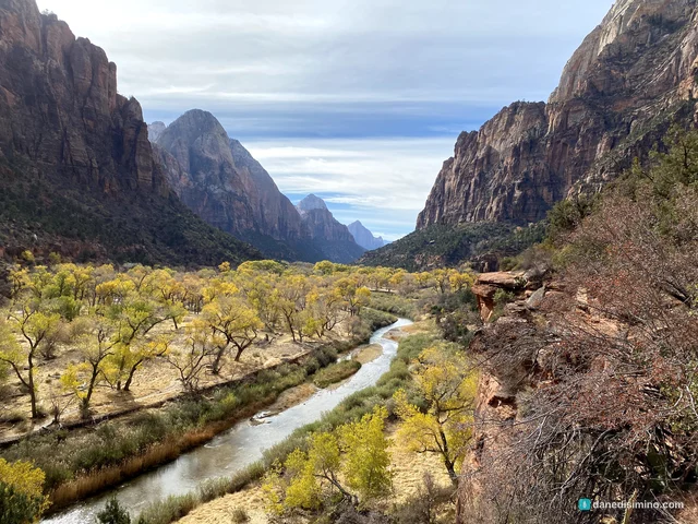
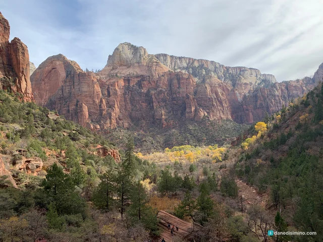
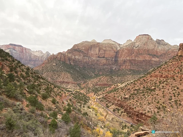
Instead we took the Kayenta Trail, which follows the river and then climbs along the canyon's west wall toward the Emerald Pools. This is where the painting is. Every step up, the valley opened wider below us: a ribbon of river, a floor of gold cottonwoods, and red and cream walls rising on both sides.
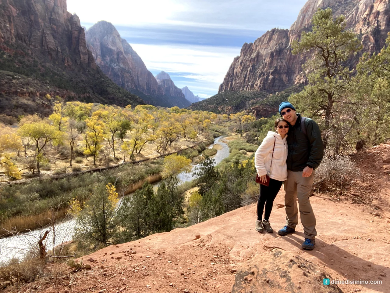
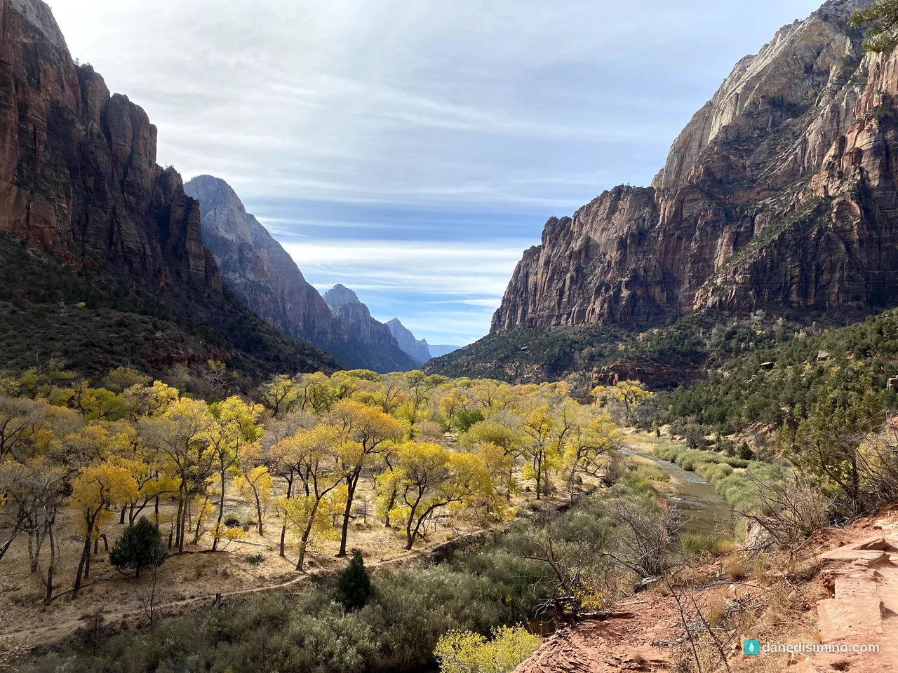
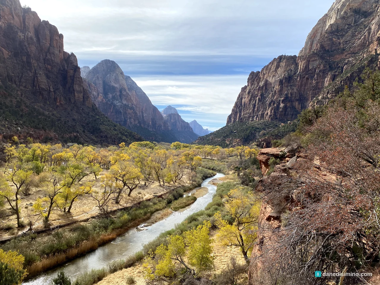
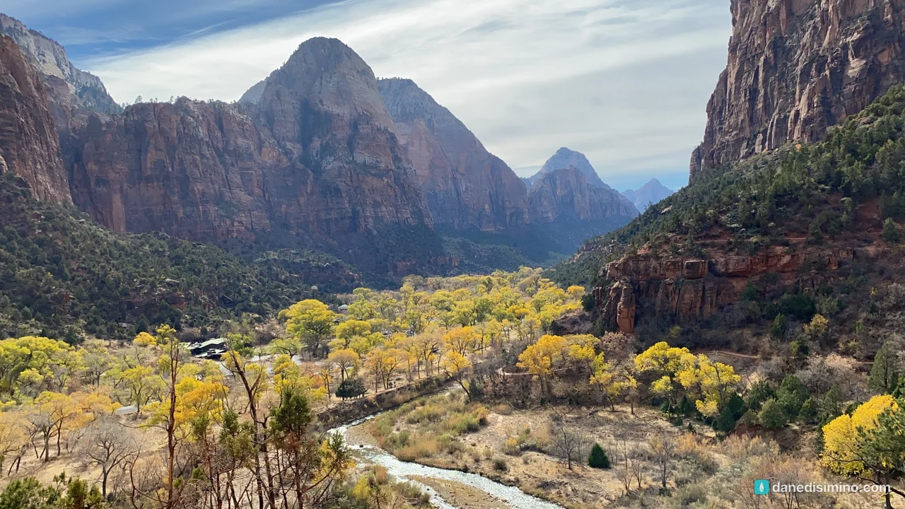
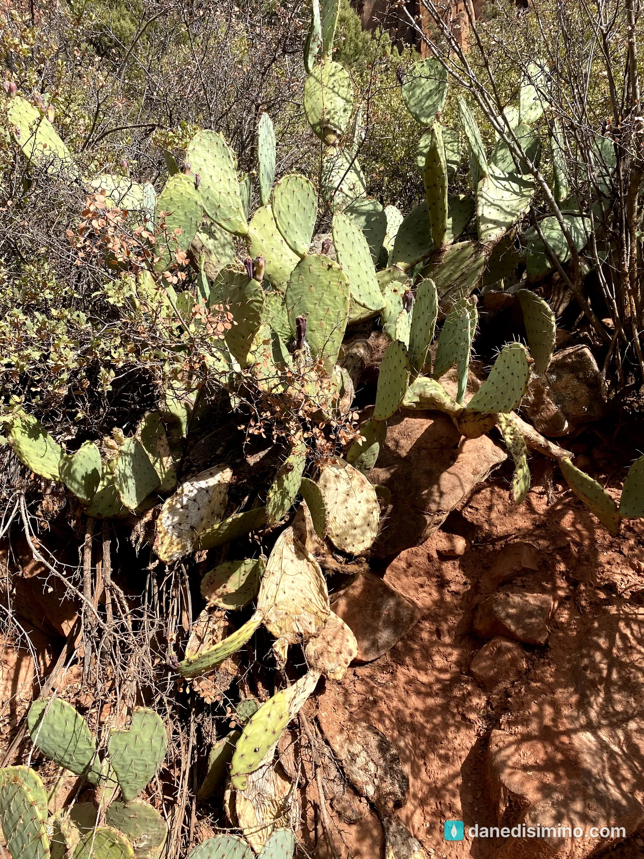
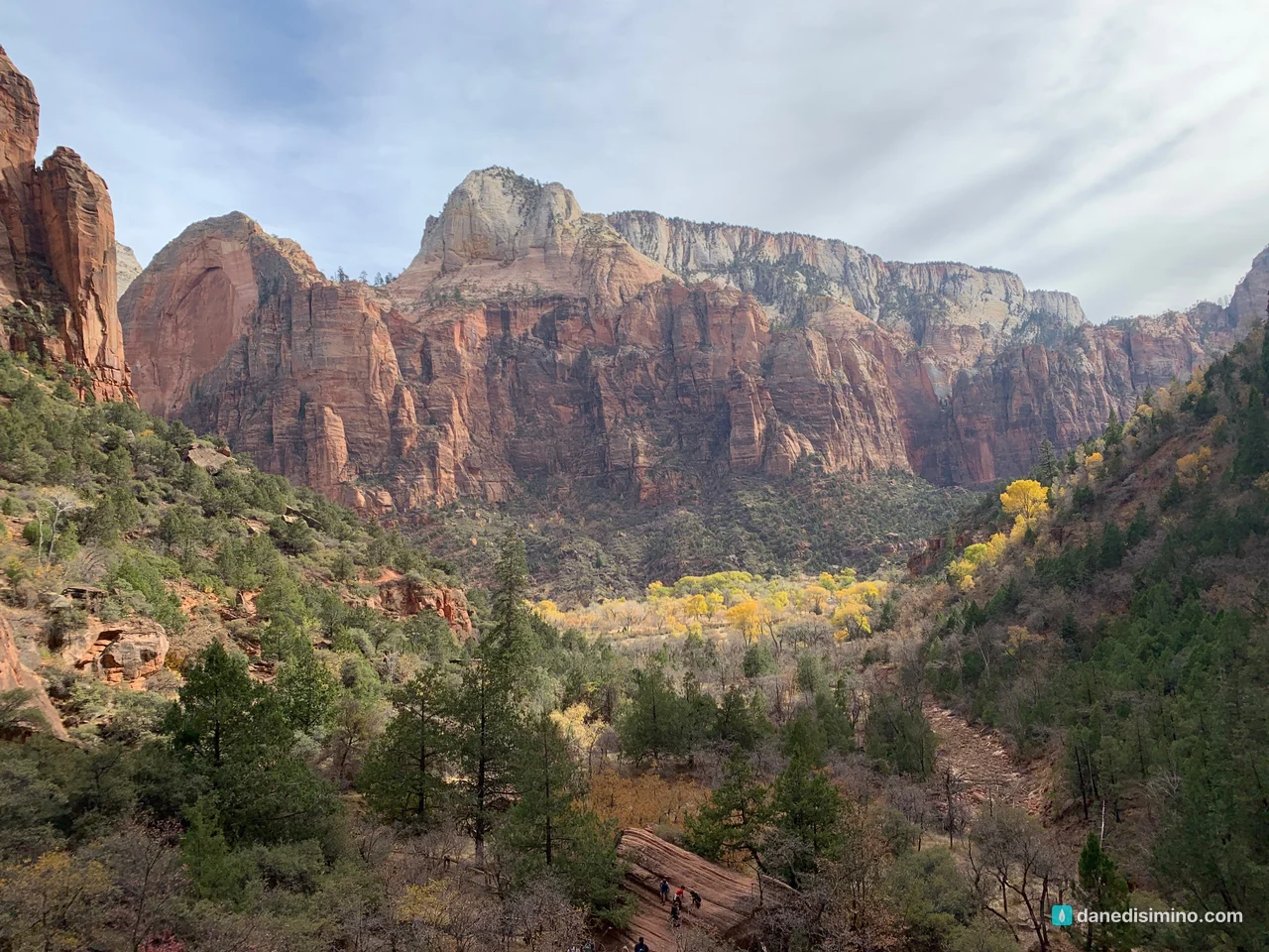
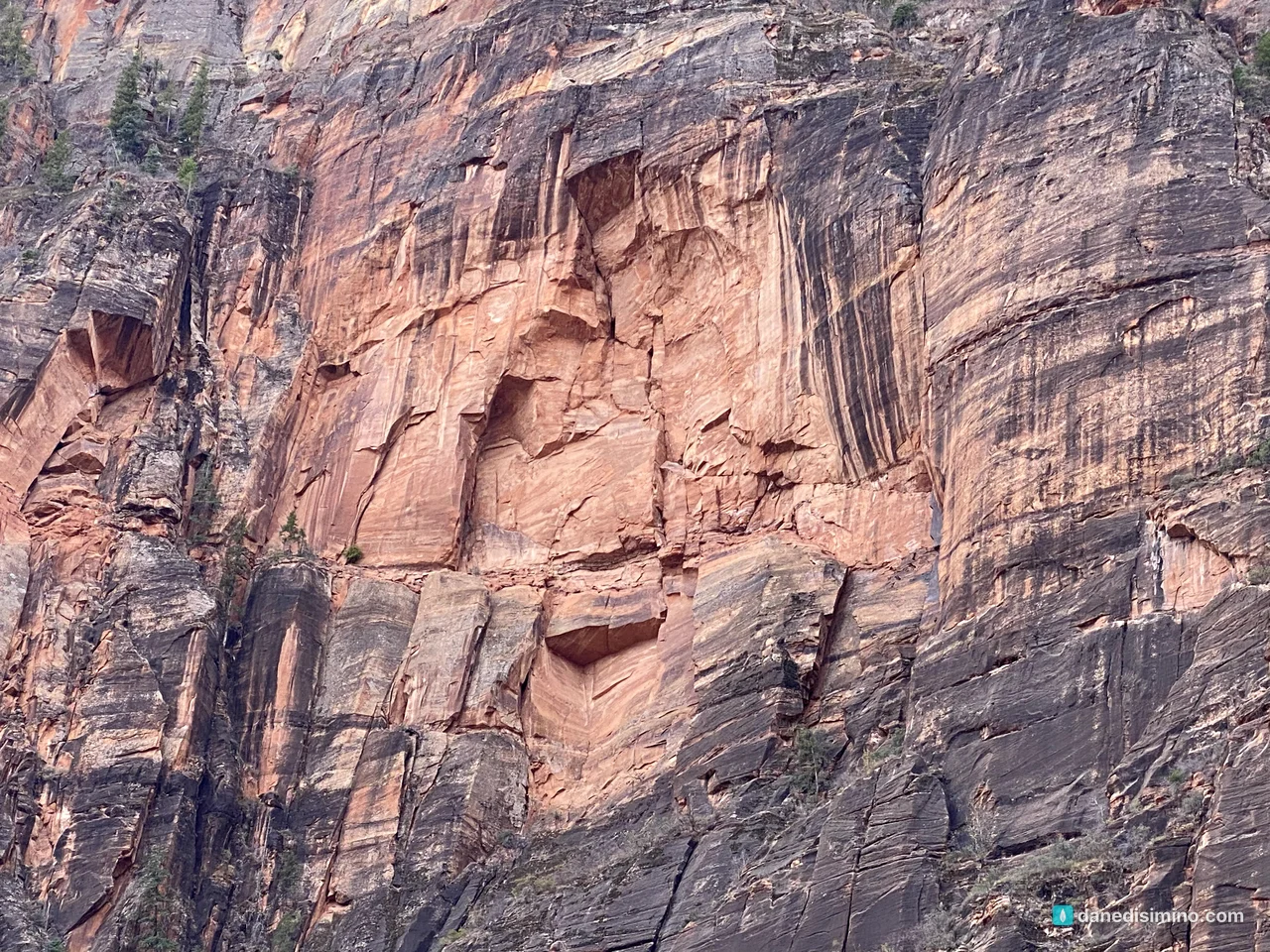
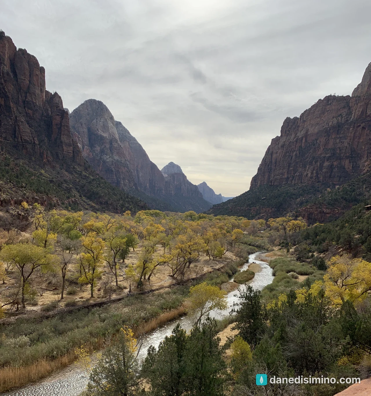
The trail connects to the Upper, Middle and Lower Emerald Pools, with seasonal waterfalls and the sheer cliffs of Lady Mountain above. You can come back the same way or make a loop down to Zion Lodge.
Afternoon in the canyon
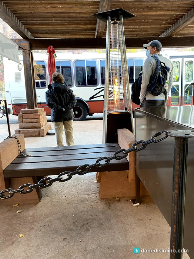
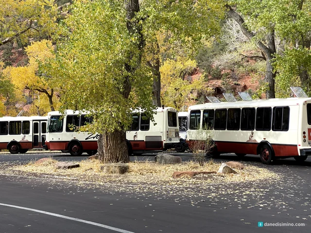
We spent the afternoon riding and wandering the canyon floor. Even the shuttles parked under the gold cottonwoods looked good.
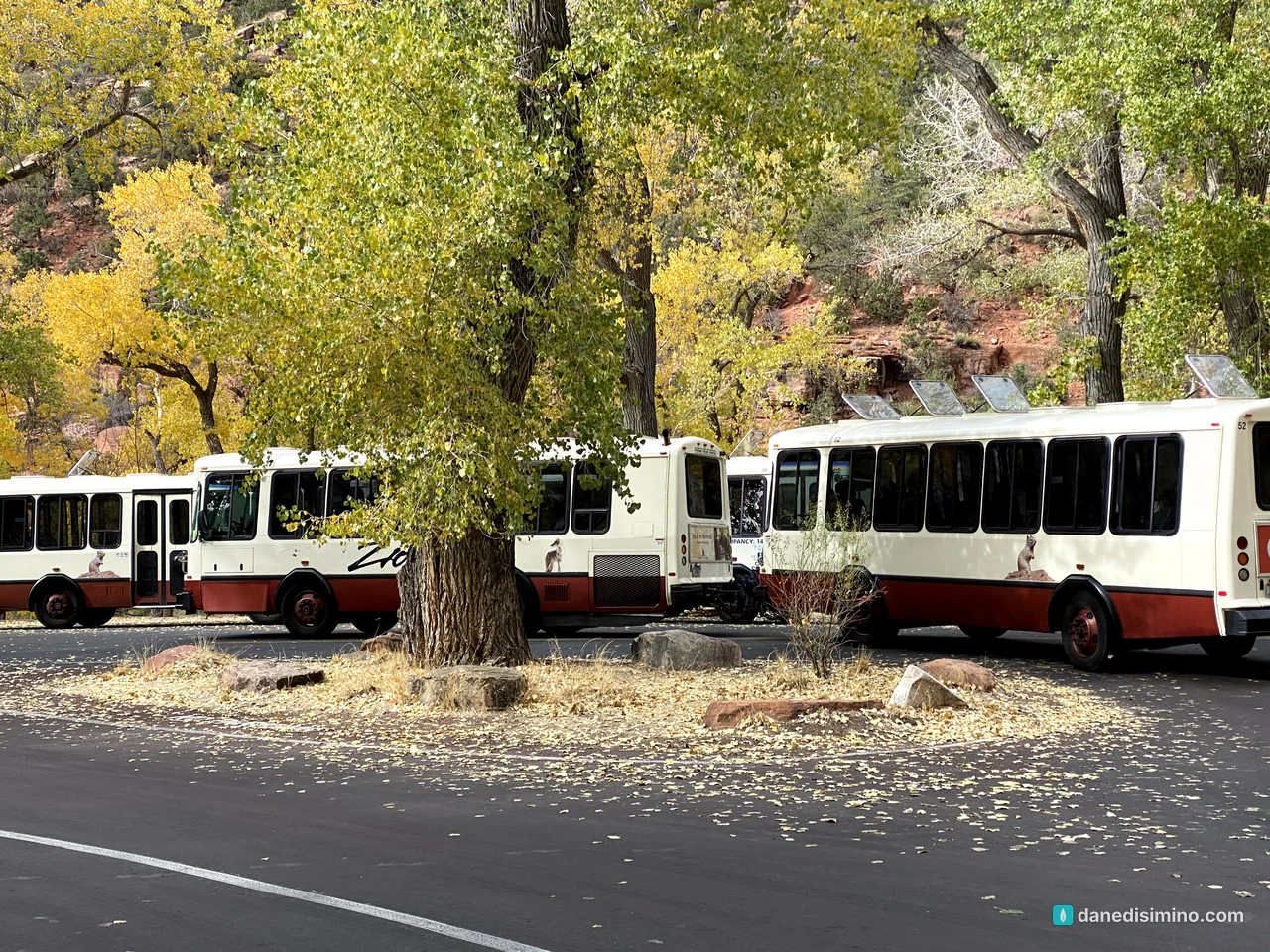
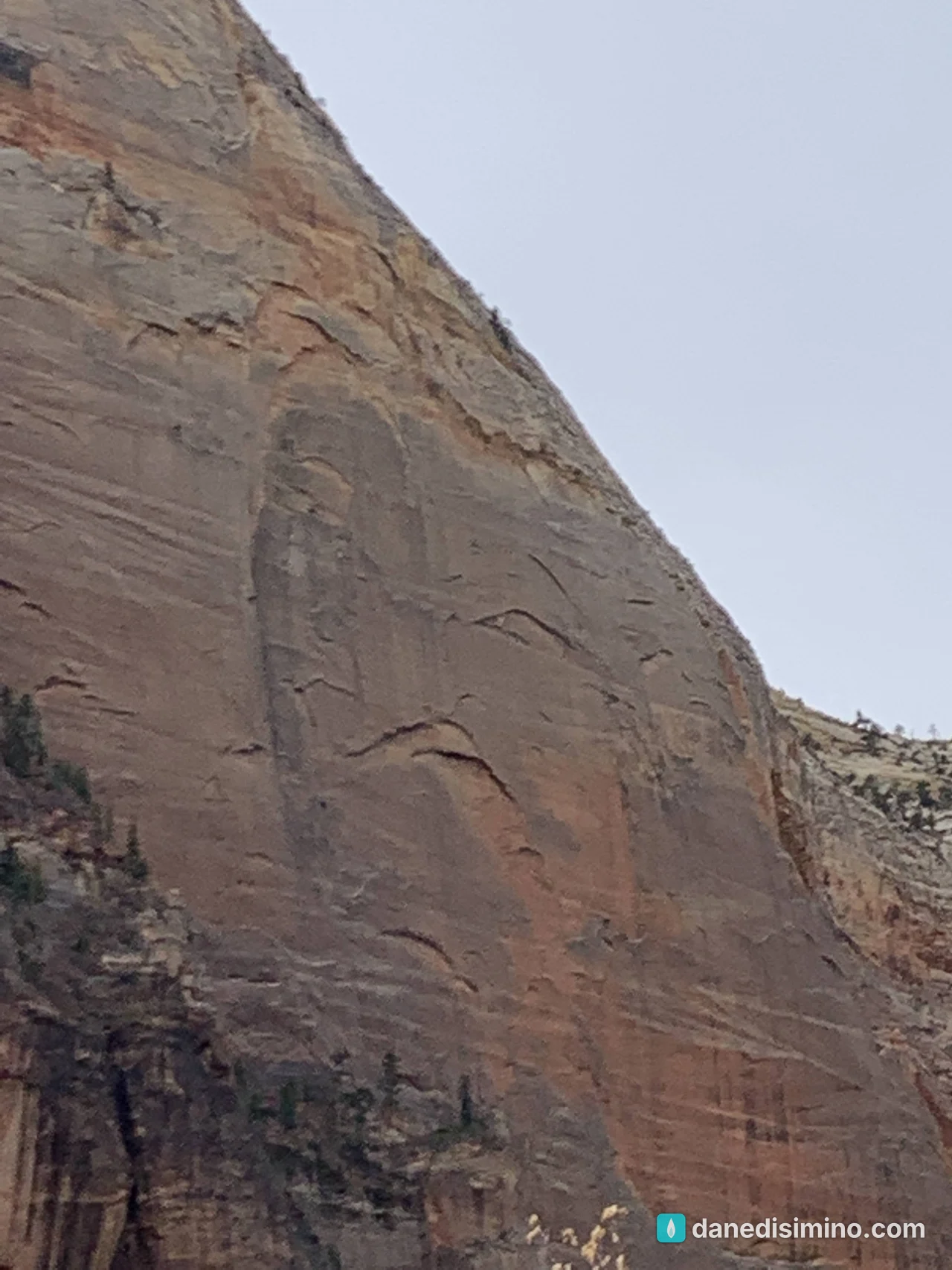
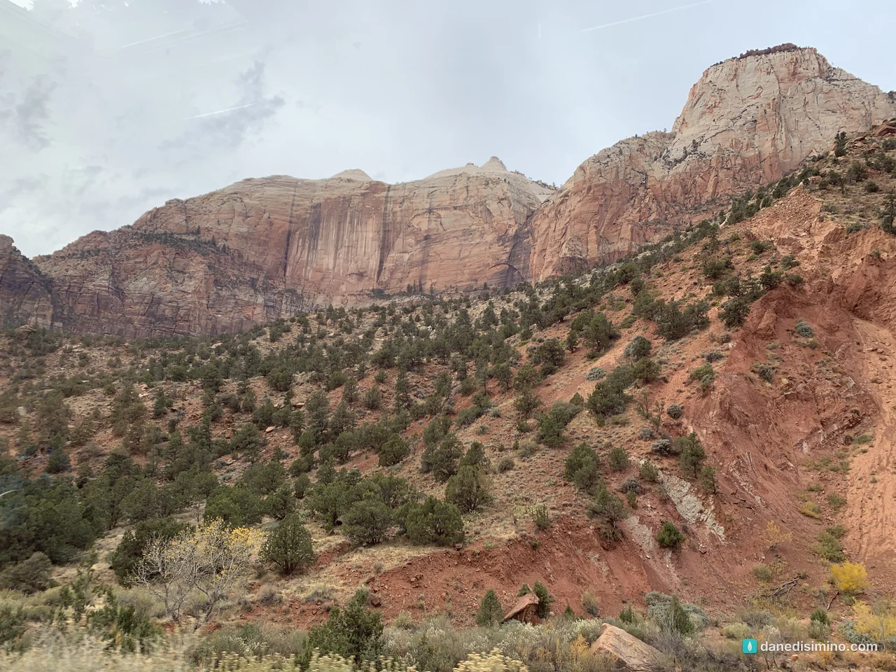
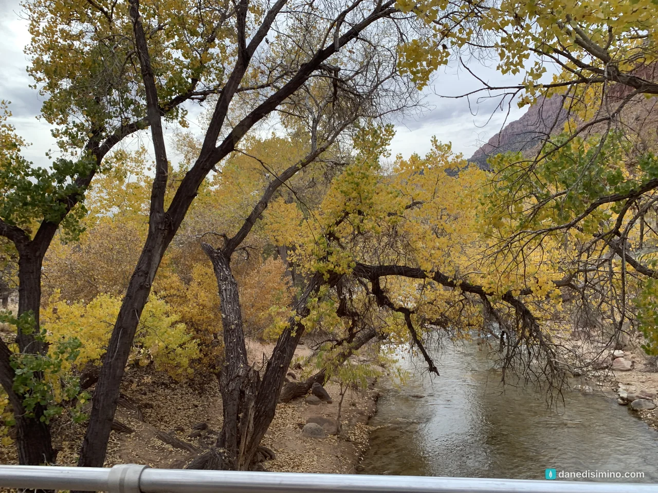
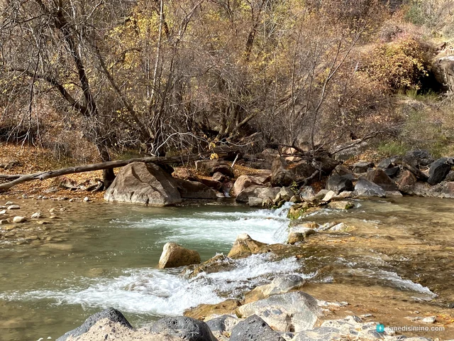
There's a river through part of the canyon, and if you catch the right reflections at the right time of day, it's beautiful.
The tunnel and the east side
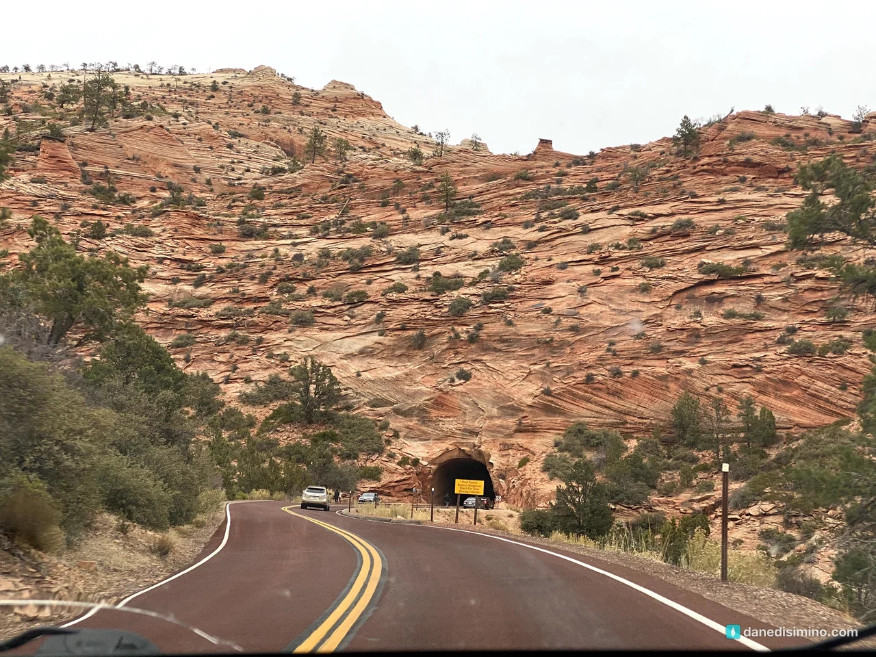
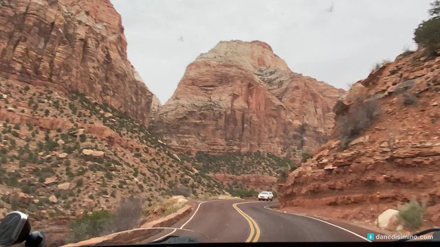
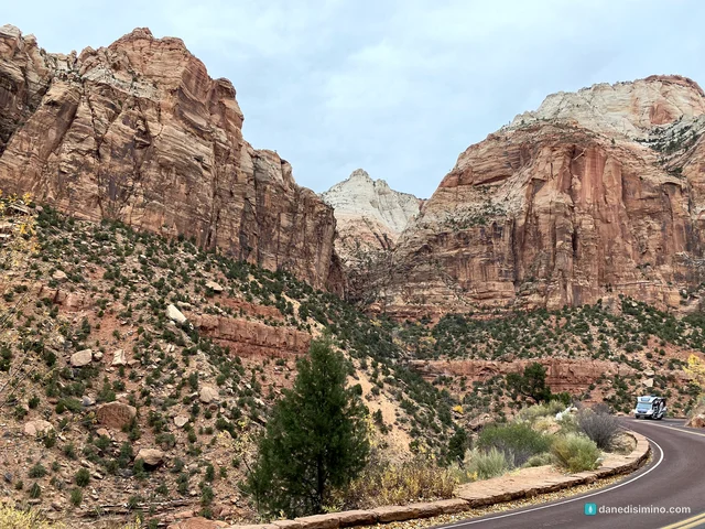
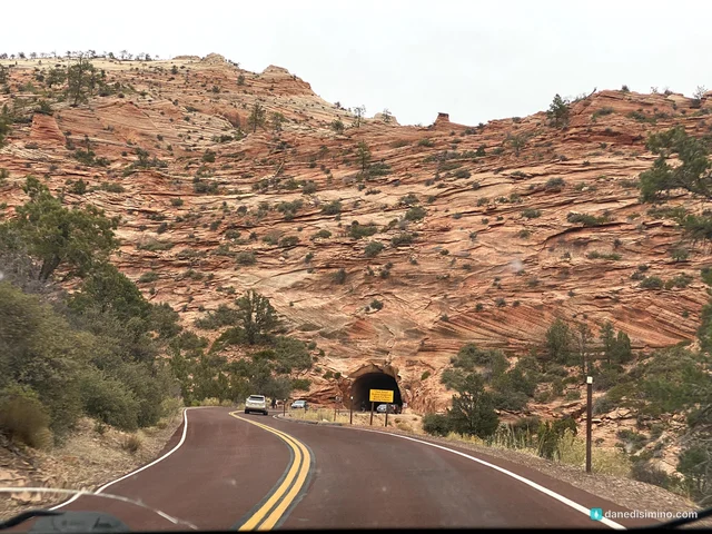
Late in the afternoon we drove the Zion-Mount Carmel Highway, which climbs out of the canyon east from Canyon Junction. It switchbacks up the wall, then plunges into a tunnel more than a mile long, carved through the cliff and dedicated on July 4, 1930. Going through it as you climb higher is a lot of fun.
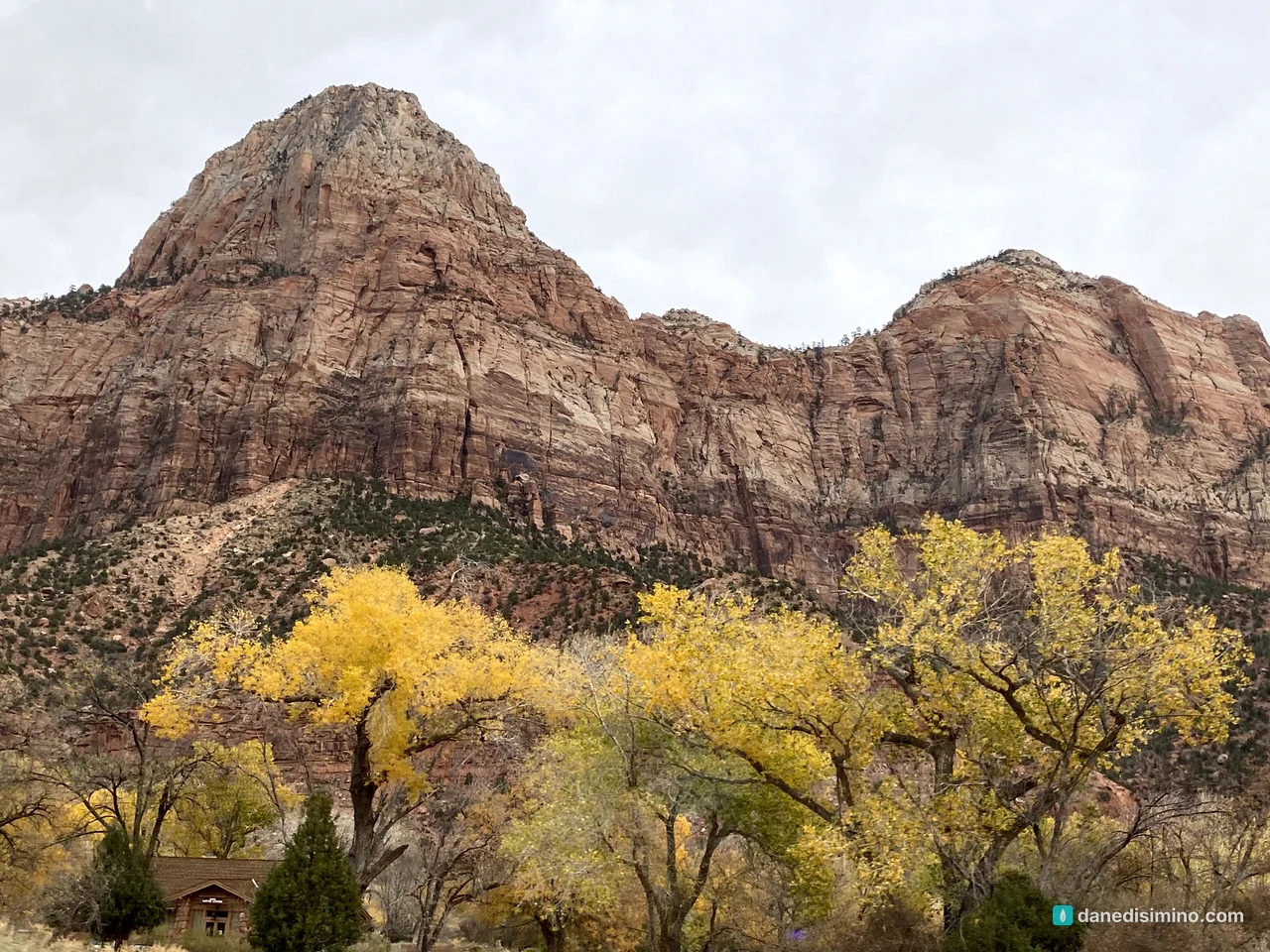
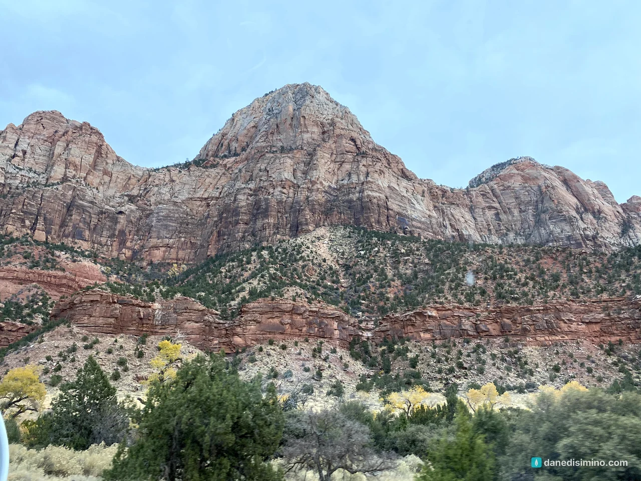
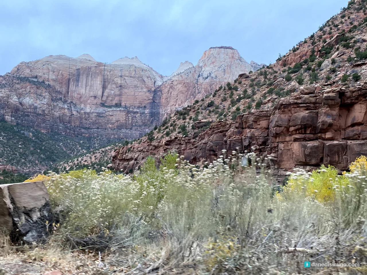
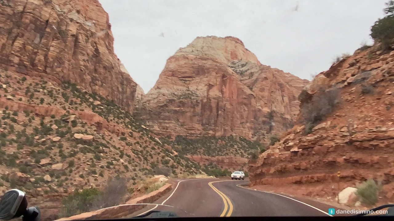
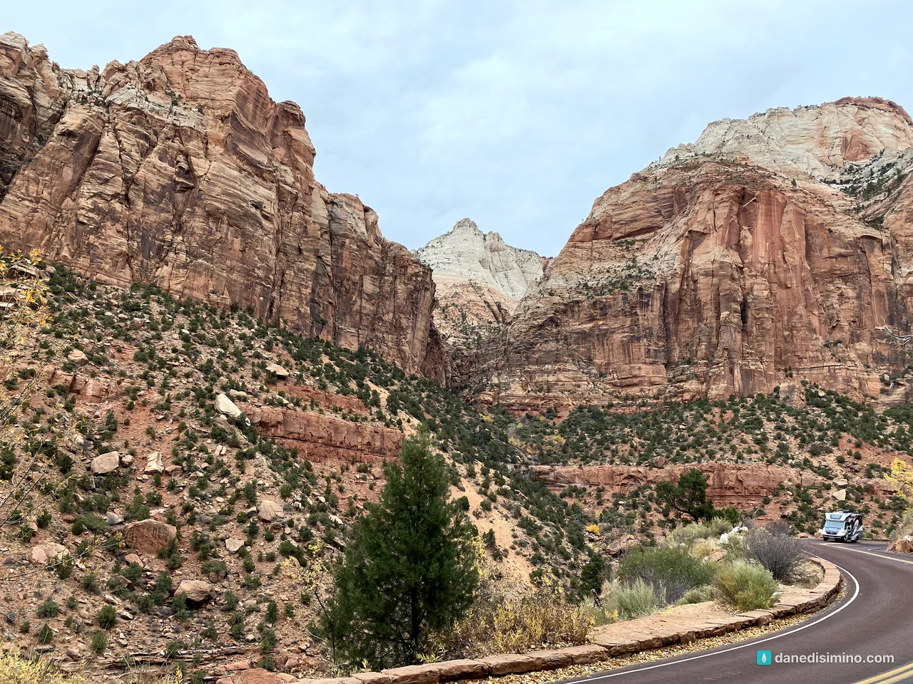
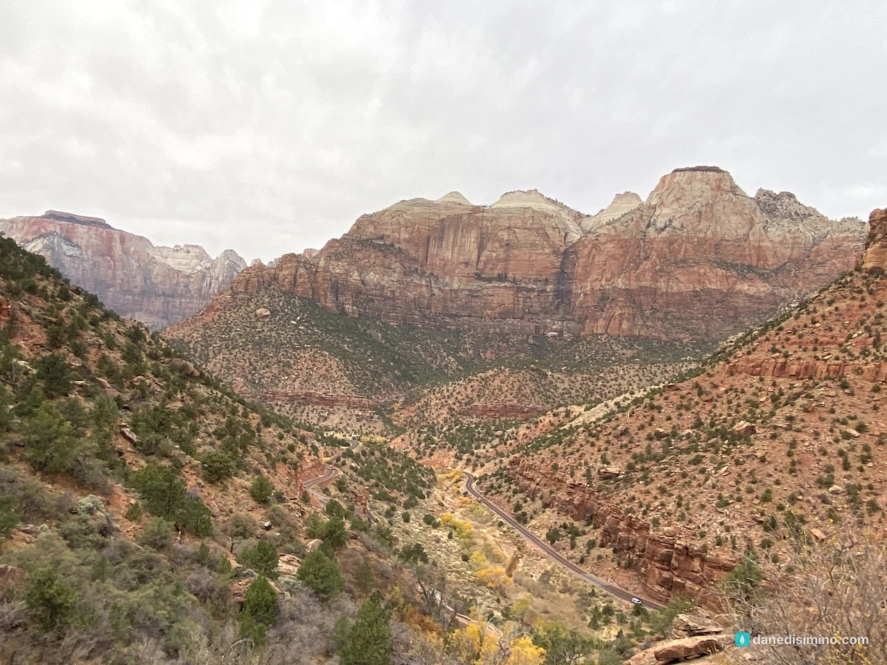
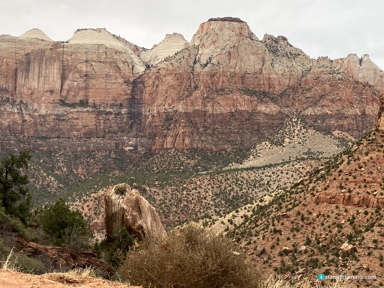
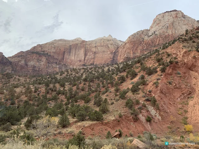
On the east side, the landscape changes completely: slickrock domes of cross-bedded sandstone and a second, shorter tunnel. We drove out to the East Entrance before turning around for the evening.
Where we stayed
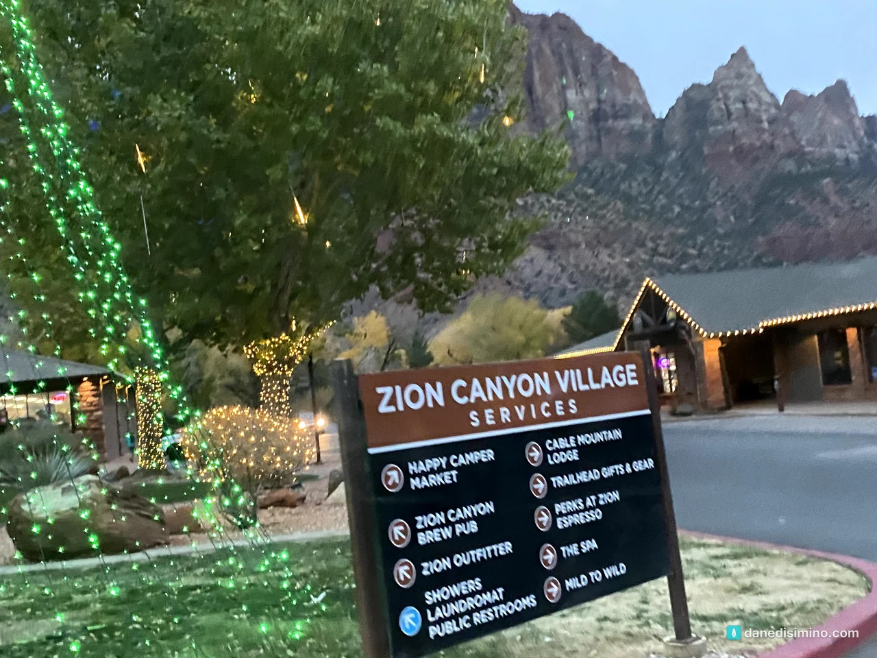
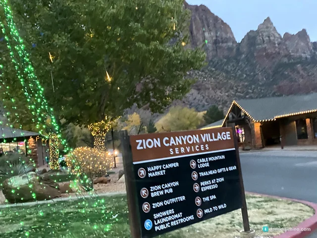
We arrived the night before after the long drive from Capitol Reef and stayed three nights in Springdale, the town right outside the park. The motel was pretty gross. It wasn't the nicest place, but it got the job done, and it was a short drive to the park, so I can't complain. That evening, Zion Canyon Village was already lit up for Christmas.
On the way out
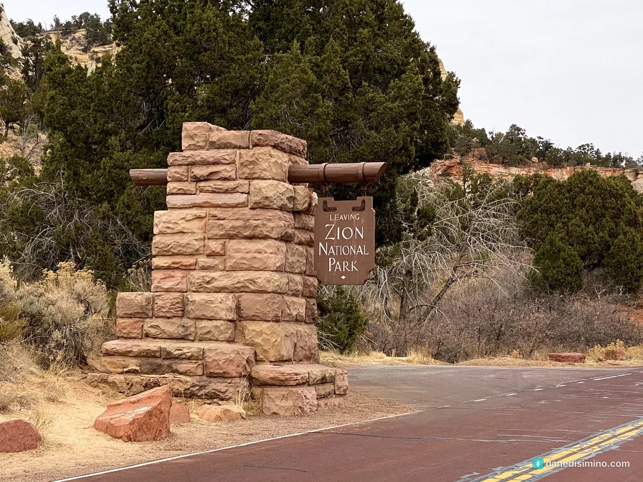
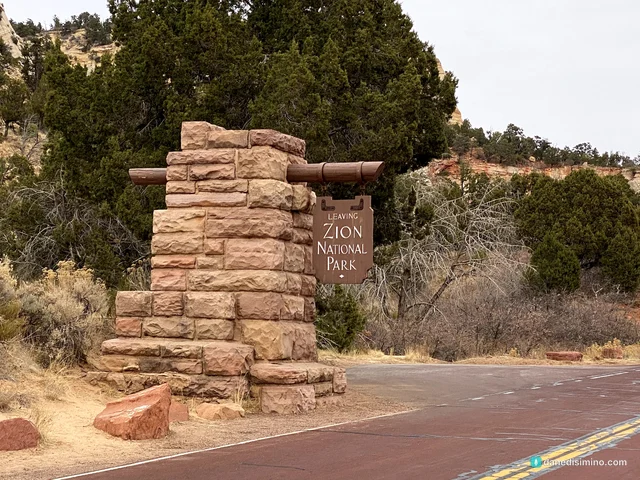
The next morning we drove through the park one last time, out the east side through the tunnel, and headed south toward the Grand Canyon's North Rim. On the long, empty highway, I got pulled over for speeding. The officer asked where we were coming from, and when I said Zion, his first question was: "Did you do Angels Landing?"
Carrie and I laughed. We'd just been talking about how we regretted not doing it. I don't recommend speeding, but it's tempting on those long Utah roads when you're eager to get to the next park. The officer understood, and off we went to the North Rim. That afternoon we came back by way of Vermilion Cliffs National Monument for one last night in Springdale, and the next morning we left for Bryce Canyon.
Make it a bigger trip
From Colorado: do what we did and string together the Utah parks. Capitol Reef, Zion and Bryce Canyon are all a few hours apart.
From Las Vegas: you don't have to come from Colorado. Zion is a quick trip from Vegas, and you can add the Grand Canyon's North Rim, which is about three hours from Zion and open seasonally. We squeezed it into this same trip. It's too far to do in one day with Zion, so give each its own day.
Kolob Canyons: the quieter northwest corner of the park, just off I-15 near Cedar City.
What I'd do differently
Do Angels Landing. Apply for the permit lottery and go for the adventure.
Hike the Narrows. Go when the water's warmer, rent the gear in Springdale, and check the forecast.
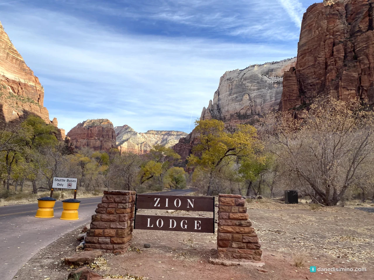
Book a better place to stay. Zion Lodge, a campsite, or a motel with honest reviews.
Go in the shoulder season again. Late fall was perfect.
What Zion taught me
Zion taught me that beauty comes in its season. We came at the very end of fall, when the cottonwoods had turned gold for just a few weeks, and the canyon looked like a painting. A month earlier it would've been green; a month later, bare.
"Yet God has made everything beautiful for its own time. He has planted eternity in the human heart, but even so, people cannot see the whole scope of God's work from beginning to end." (Ecclesiastes 3:11, NLT)
We saw a little of His work that day. It was enough to stay with us.
Questions?
Ask me anything about Zion: the shuttle, Angels Landing permits, the Narrows, where to stay, or doing it from Las Vegas. I answer every question.
Photos
Sources
- Zion National Park (NPS)
- Zion Canyon shuttle system (NPS)
- Angels Landing permits and hiking (NPS)
- The Narrows (NPS)
- Riverside Walk (NPS)
- Kayenta Trail (NPS)
- Upper Emerald Pools Trail (NPS)
- Canyon Overlook Trail (NPS)
- Temple of Sinawava (NPS)
- Court of the Patriarchs (NPS)
- Zion-Mt. Carmel Highway and Tunnel history (NPS)
- Directions and transportation (NPS)
- Fees and passes (NPS)
- Zion National Park history (Utah History Encyclopedia)
- Geology (NPS)
Pathlight
Park guides from the road. A printable trip sheet comes with them when one is ready.