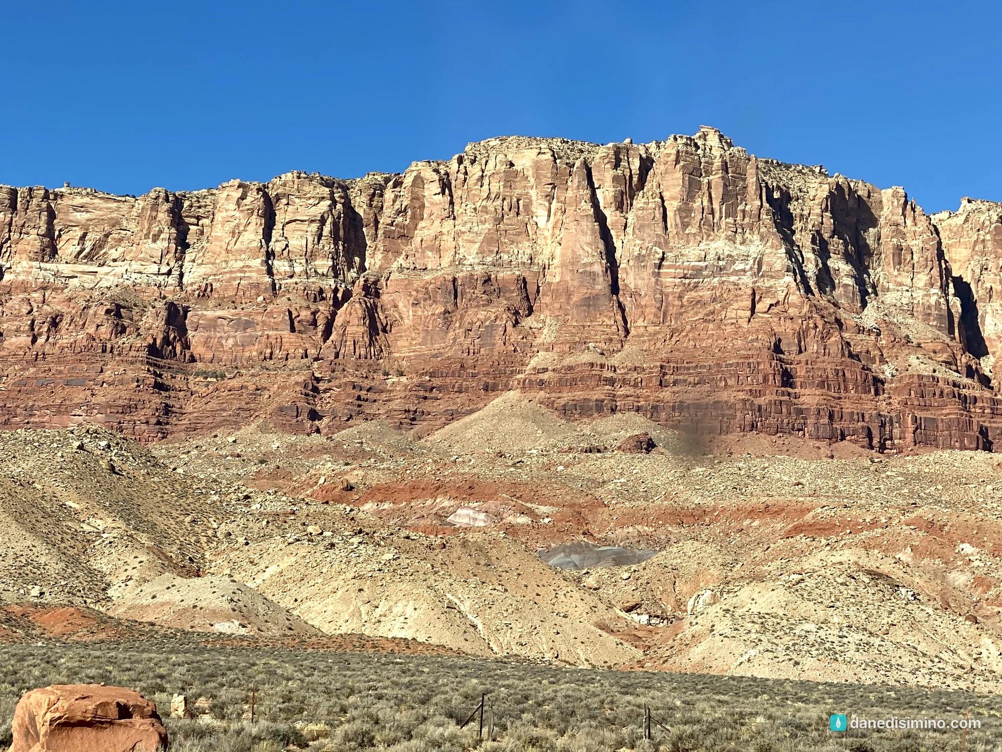

NATIONAL MONUMENTS · OUR SECOND
Vermilion Cliffs National Monument
A Field Guide
On this page
Our second national monument: an afternoon drive along the base of the Vermilion Cliffs on the way back from the Grand Canyon's North Rim. Beautiful from a distance, but we left unimpressed, because the views everyone raves about aren't on the highway. What we missed, and how to plan it right.
Version 1.1 · Updated Nov 17, 2026
Map
On November 21, 2020, after a morning on the Grand Canyon's North Rim, we headed back toward Zion for our last night in the motel in Springdale. On the way, we couldn't resist a detour to Vermilion Cliffs National Monument, our second national monument after Colorado National Monument.
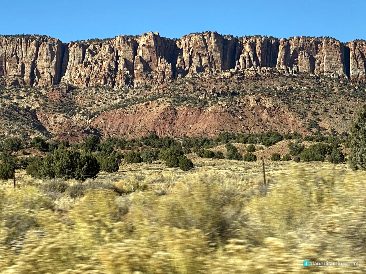
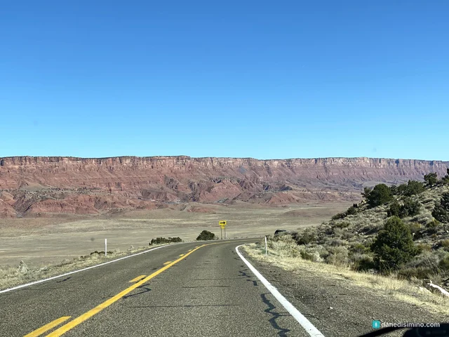
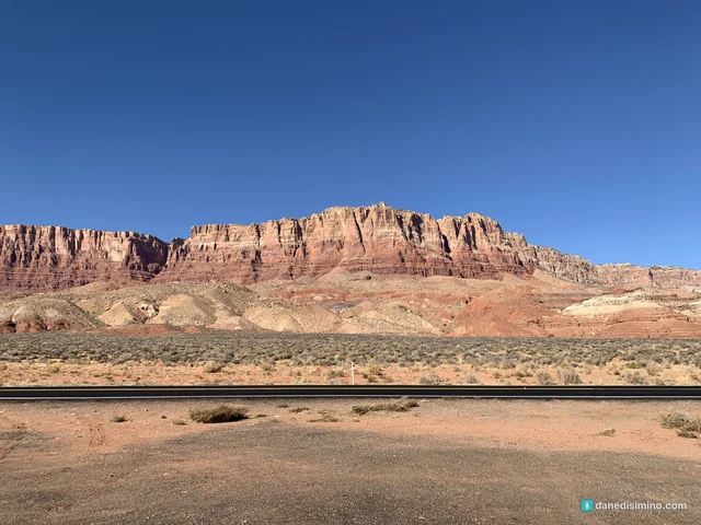
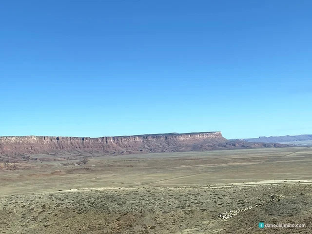
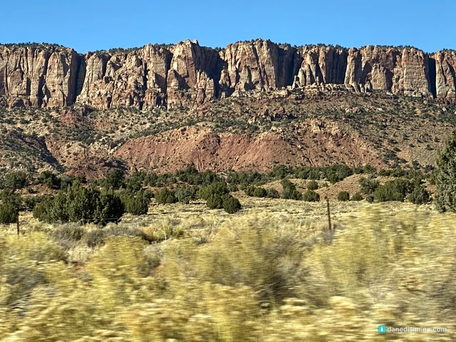
I'll be honest: we left a little unimpressed. I think it's because we never found the right roads or turnouts to see the amazing sights everyone raves about in photos. The cliffs were still beautiful from a distance, and it was a worthy drive. But if you go, do more research than we did, so you can see the place in all its glory.
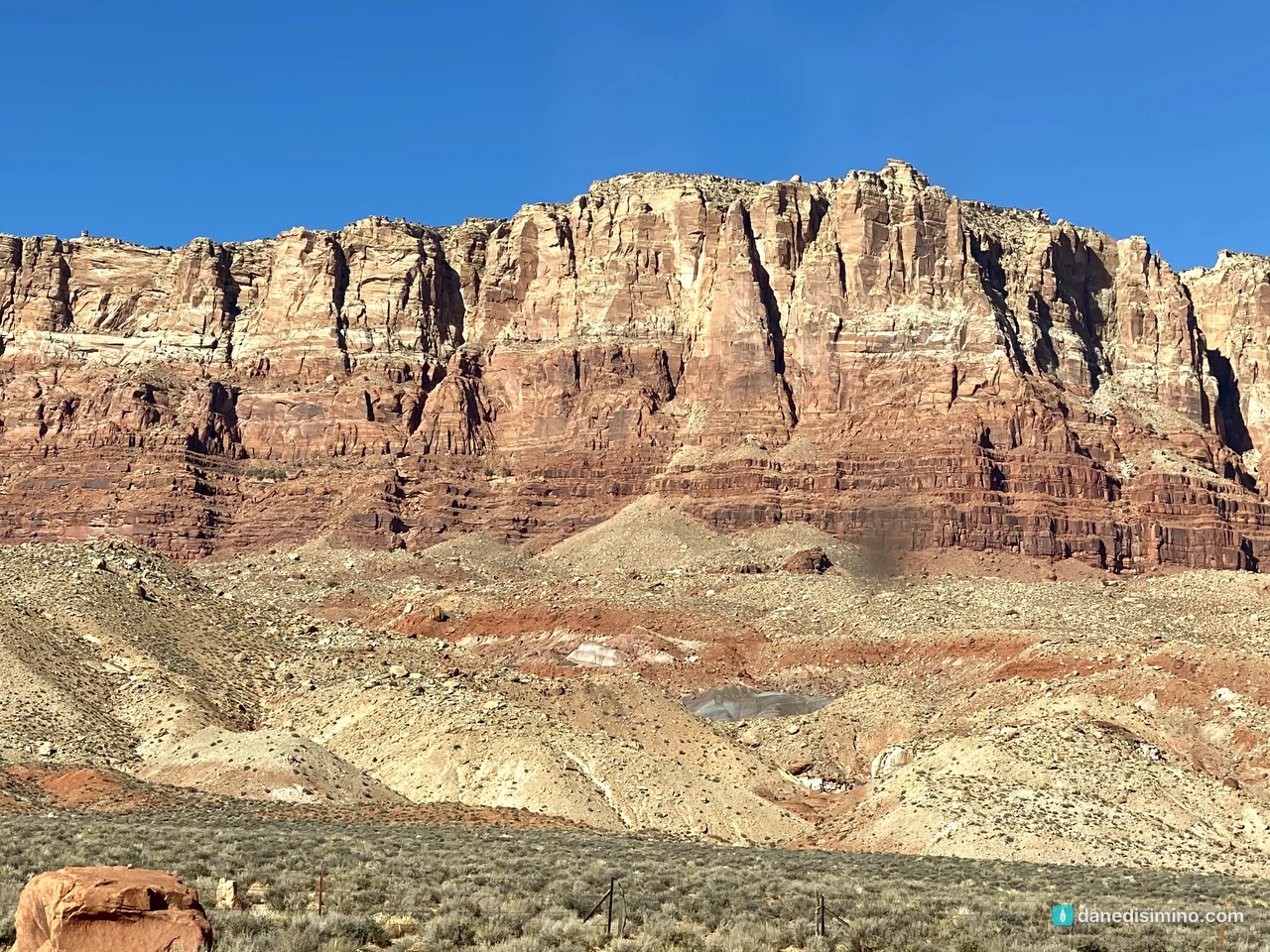
Beautiful from a distance. The views in the photos take a plan.
The short version
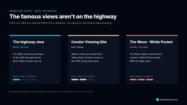
The highway is the easy part. U.S. 89A runs along the base of the cliffs, and the views from the car are good.
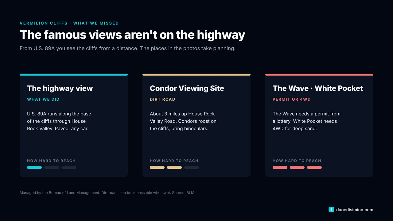
The famous spots take planning. The Wave needs a permit from a lottery. White Pocket and most of the monument need high-clearance four-wheel drive.
Look for condors. The Condor Viewing Site is about three miles up a dirt road off 89A, with binoculars recommended.
Pair it with the North Rim. It's right on the way between the North Rim and Kanab or Page.
Research before you go. Decide which views you want, and check road and permit details with the Bureau of Land Management.
The monument at a glance
- 280,000
- Acres of public land
- 2000
- Proclaimed a national monument
- 1996
- First condor release here
- 0
- Paved roads inside
Where: northern Arizona, just south of the Utah line, between the Grand Canyon's North Rim, Kanab and Page.
Who runs it: the Bureau of Land Management, not the National Park Service. There's no visitor center or entrance gate inside the monument.
Roads: there are no paved roads inside. House Rock Valley Road is a maintained dirt road that can be impassable when wet, and most other roads need high-clearance four-wheel drive because of deep sand. Bring a full-size spare, water, food and gas.
Permits: required for The Wave (Coyote Buttes North), Coyote Buttes South and overnight trips in Paria Canyon.
The story of the cliffs
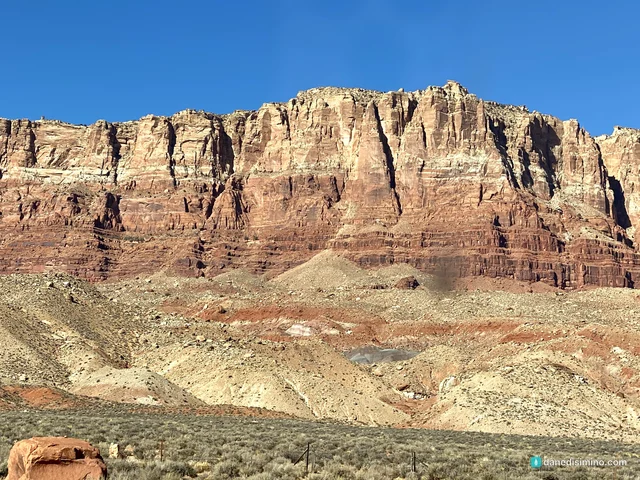
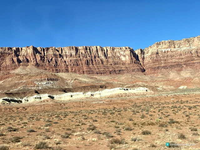
A 3,000-foot wall. The Vermilion Cliffs rise as much as 3,000 feet along the southern edge of the Paria Plateau. They're one of the steps of the Grand Staircase, the giant series of cliffs that climbs from the Grand Canyon up through Zion to Bryce Canyon.
Petrified dunes. Up on the plateau, at Coyote Buttes and The Wave, the rock is Navajo Sandstone, the same ancient dune field that forms Zion's great walls. Its swirling bands of color come from iron, manganese and other minerals.
Deep canyons. Along the east side, the Paria River has cut a canyon as deep as 2,500 feet.
People, for 12,000 years. Early hunters and gatherers, then Ancestral Puebloans, left villages, granaries and some of the earliest rock art in the Southwest. Later came the Domínguez-Escalante expedition in 1776, Mormon pioneers, Lee's Ferry in 1871, and John Wesley Powell's surveys.
The condors. California condors have been released here since 1996 to build a new wild population. Desert bighorn sheep, pronghorn and mountain lions live here too.
President Bill Clinton proclaimed the monument on November 9, 2000, under the Antiquities Act, the same law that protected Colorado National Monument in 1911.
The drive along the cliffs
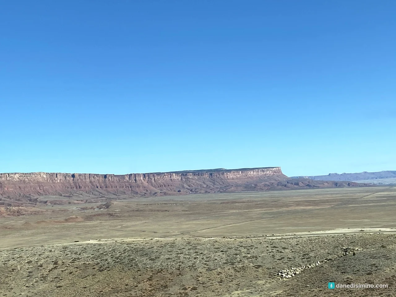
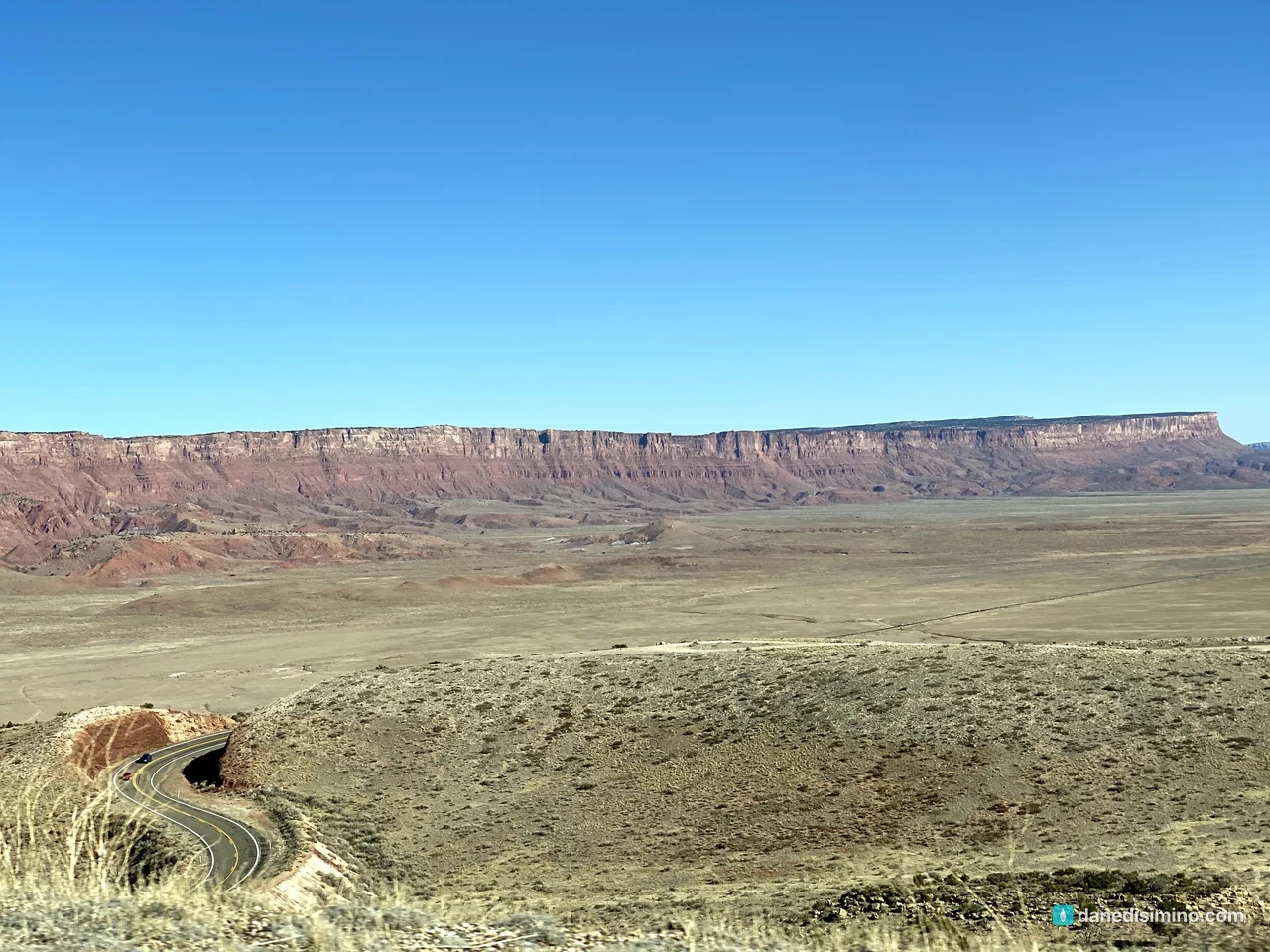
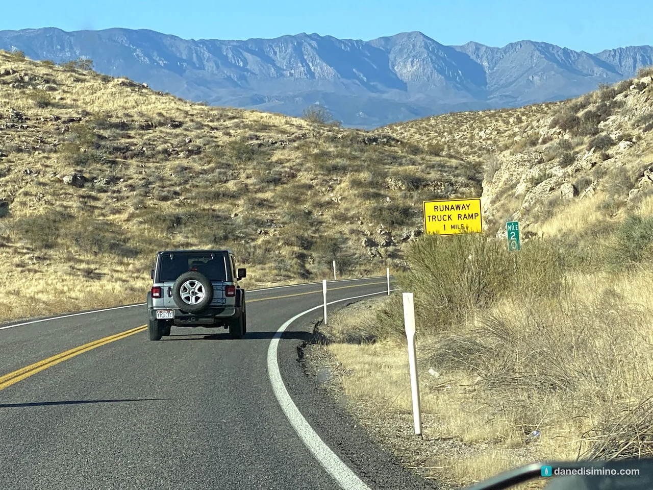
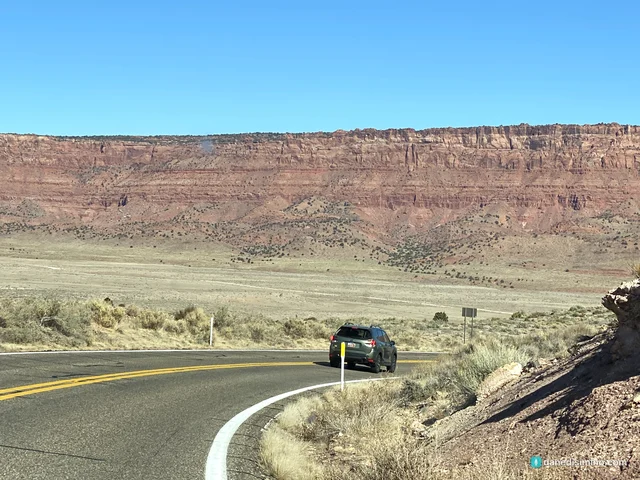
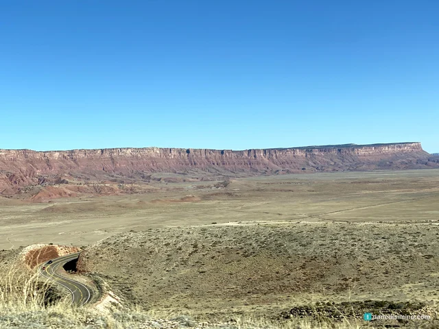
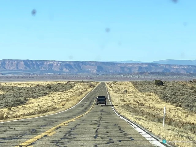
From the North Rim, Arizona 67 runs north across the Kaibab Plateau to Jacob Lake. From there we took U.S. 89A east, down off the plateau into House Rock Valley. As the road drops, the Vermilion Cliffs come into view, a long red wall stretching across the horizon.
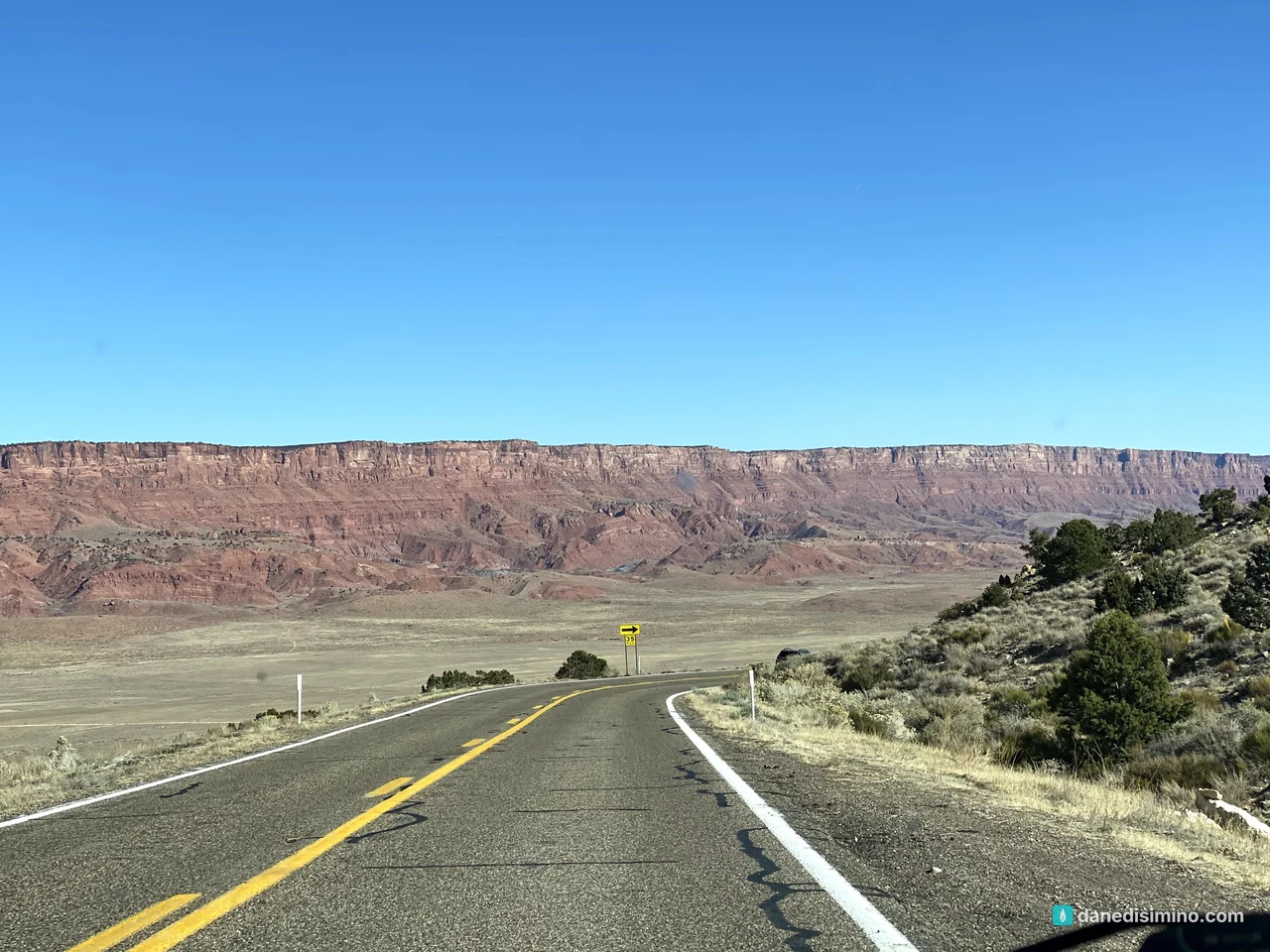
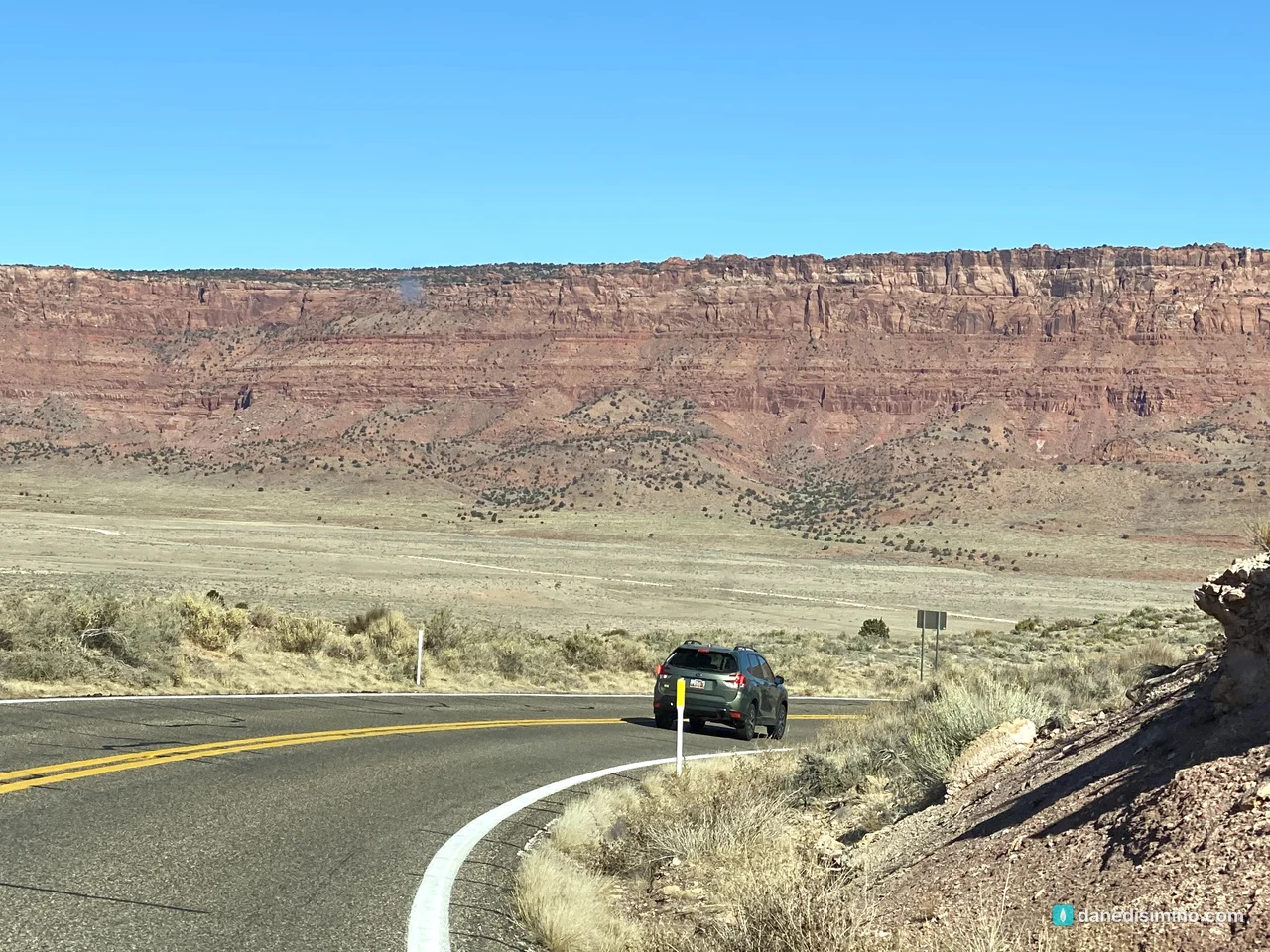
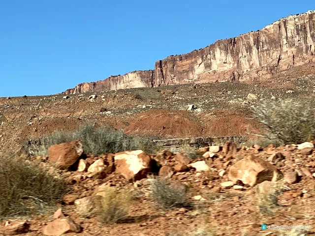
We drove east along the base of the cliffs for about half an hour. Up close, they're layered in red, white and cream, with badlands and fallen boulders below.
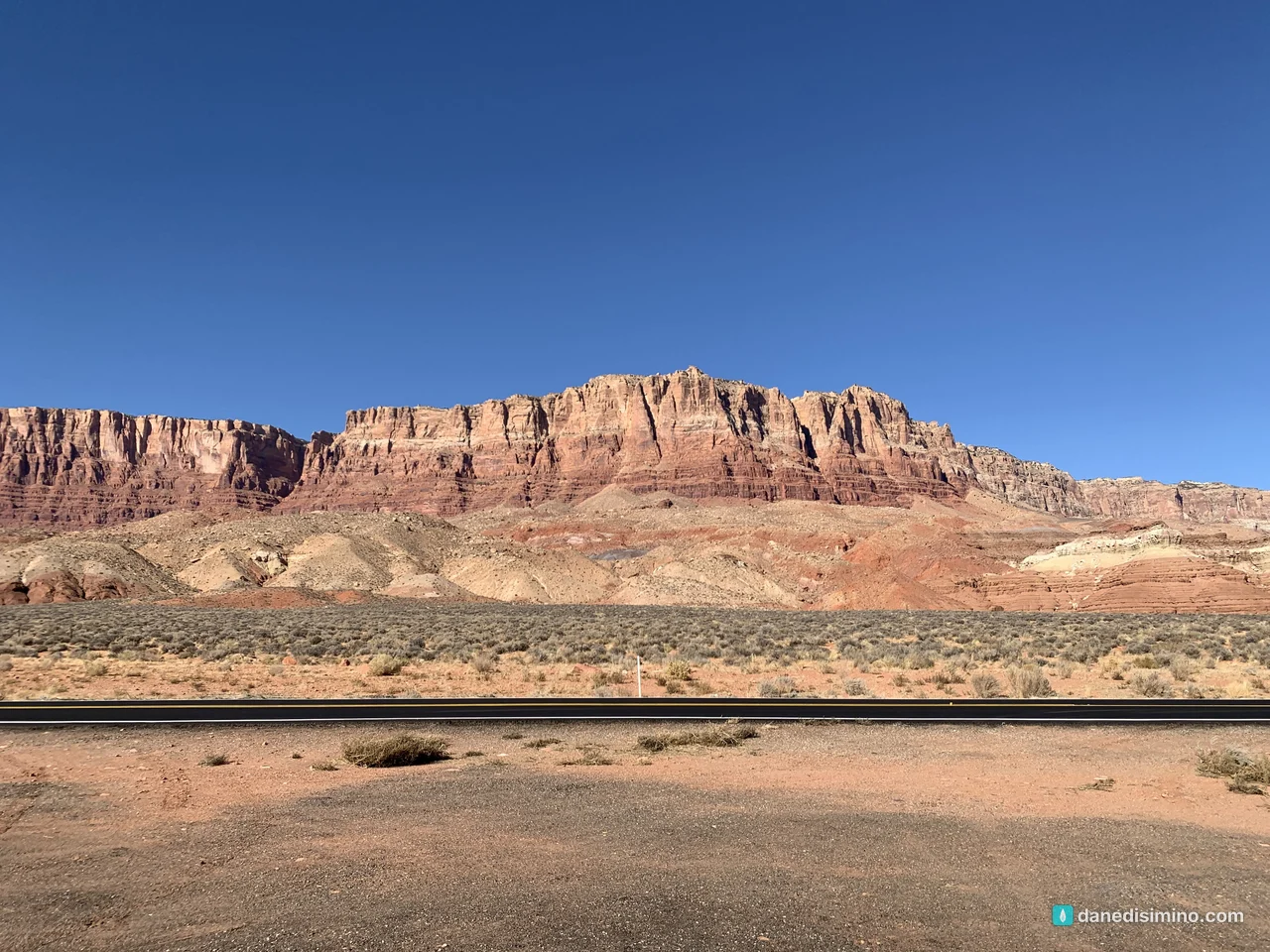
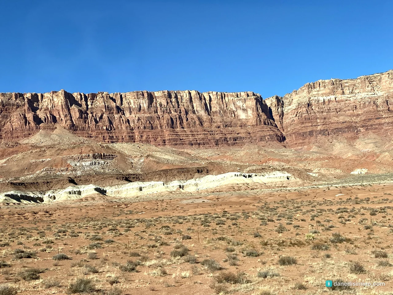
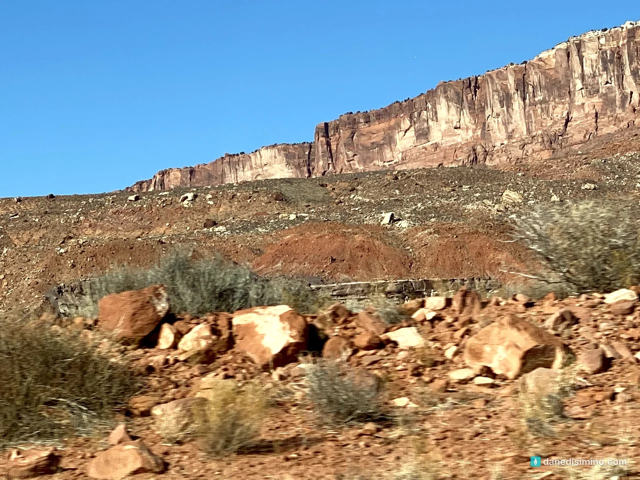
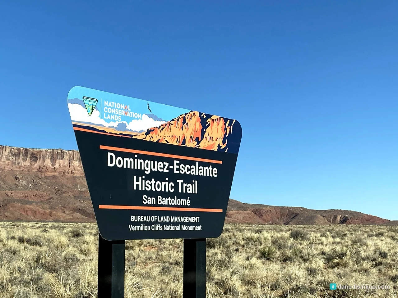
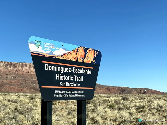
Along the way, a sign marks the Domínguez-Escalante Historic Trail. In 1776, two Franciscan friars, Francisco Atanasio Domínguez and Silvestre Vélez de Escalante, led an expedition looking for a route from Santa Fe to California, and their route passed through here.
Then we turned around and headed back west across House Rock Valley.
What we missed
This is the part I'd do differently. The views in those famous photos are mostly off the highway:
The Wave at Coyote Buttes North: swirling, striped sandstone, and one of the most photographed hikes in the Southwest. You need a permit, awarded by lottery.
White Pocket: colorful, swirled rock formations deep on the Paria Plateau. Getting there takes high-clearance four-wheel drive through deep sand.
The Condor Viewing Site: California condors, captive-bred and released here since December 1996, roost on top of the cliffs. The site is about three miles north of 89A on House Rock Valley Road, with picnic tables and a shade shelter. Bring binoculars.
Paria Canyon: a three-to-five-day backpacking trip through a slot canyon, with a permit.
The long way back to Zion
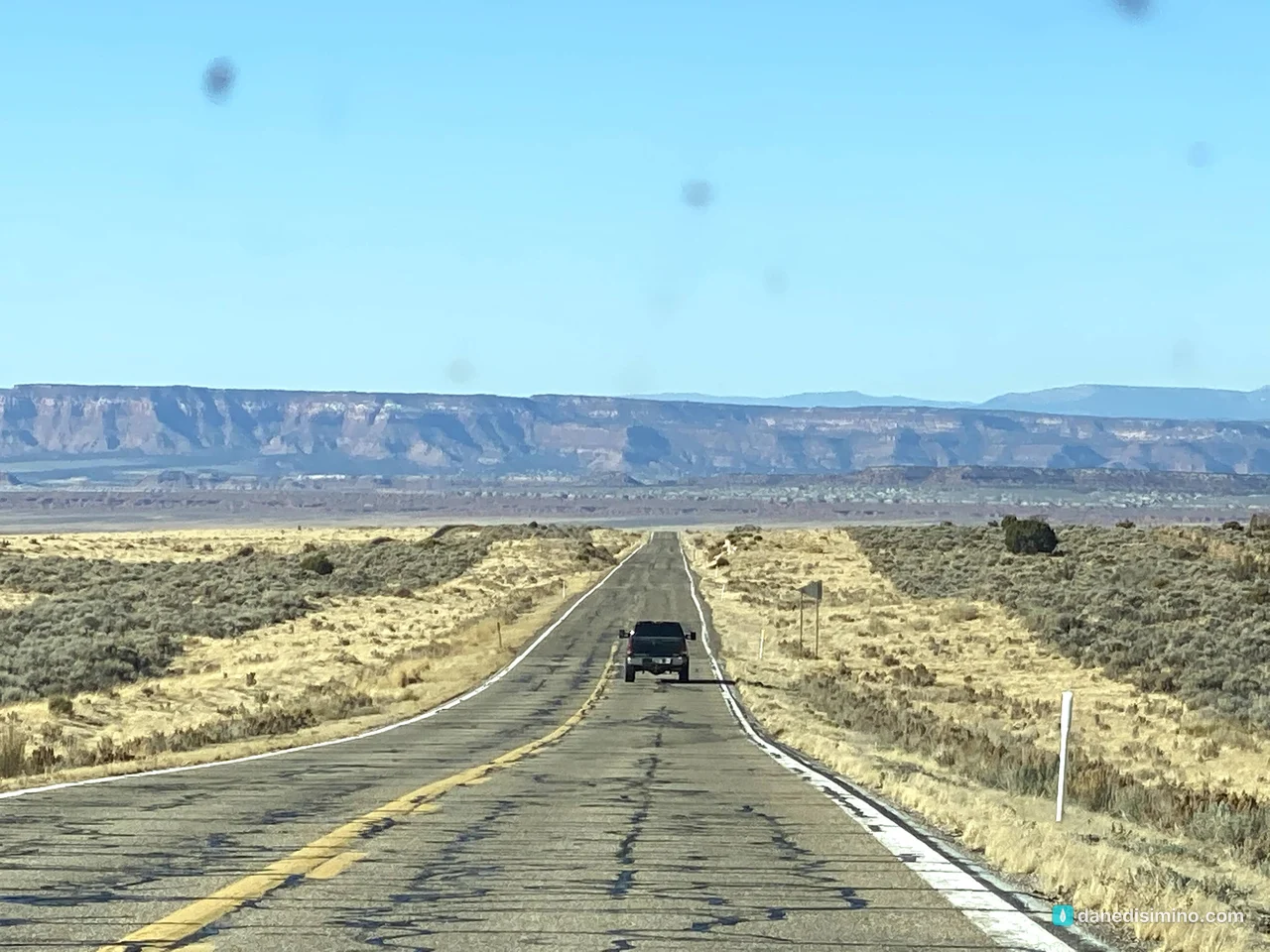
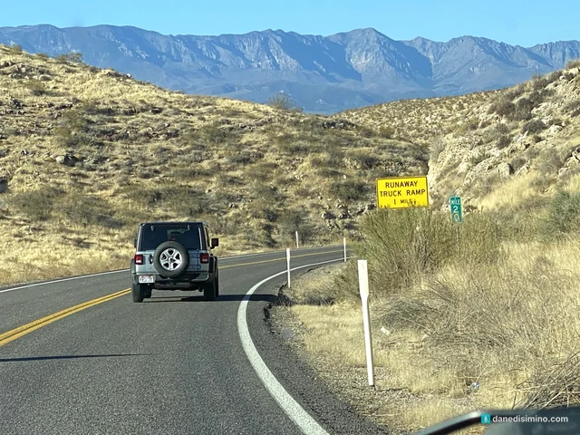
We drove back west past Jacob Lake to Fredonia and across the Arizona Strip on Arizona 389, with more red cliffs to the north, then into Utah and back to Springdale for our last night near Zion. Pipe Spring National Monument, run by the National Park Service, sits right on Arizona 389 if you have time to stop.
The next morning, we left for Bryce Canyon.
What I'd do differently
Apply for The Wave. Enter the permit lottery well ahead of time.
Rent or bring a high-clearance 4WD. Or book a guided tour to White Pocket.
Stop at the Condor Viewing Site. It's only a few miles off the highway.
Give it a full day. It's not a drive-by kind of place.
What Vermilion Cliffs taught me
Vermilion Cliffs taught me that the best things aren't always next to the road. We saw the cliffs from the car, but the places people travel across the world to see were out there past the pavement, for anyone willing to prepare and go find them.
"If you look for me wholeheartedly, you will find me." (Jeremiah 29:13, NLT)
Some things you only find when you seek them with your whole heart.
Questions?
Ask me anything about Vermilion Cliffs: The Wave lottery, the roads, the condors, or adding it to a Grand Canyon North Rim trip. I answer every question.
Photos
Sources
Pathlight
Monument guides from the road, written as we go.