
NATIONAL PARKS
Grand Canyon
A Field Guide
On this page
Two late-May days on the South Rim in 2018: the first view that made me gasp, Hermit Road, Desert View Drive, a hike below the rim that the heat turned around, and a red sunset at Yavapai Point. Plus a quiet November morning on the North Rim in 2020. Why everyone should see it once, and how to hike it safely.
Version 1.2 · Updated Nov 17, 2026
Map
When to go
Average monthly visits, 2023–2025. Source: NPS visitor statistics. ● marks the months we visited.
| January | 167,357 |
|---|---|
| February | 183,350 |
| March | 359,762 |
| April | 465,560 |
| May | 517,116 |
| June | 485,942 |
| July | 518,381 |
| August | 484,838 |
| September | 436,068 |
| October | 443,024 |
| November | 321,137 |
| December | 311,970 |
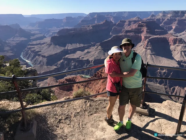
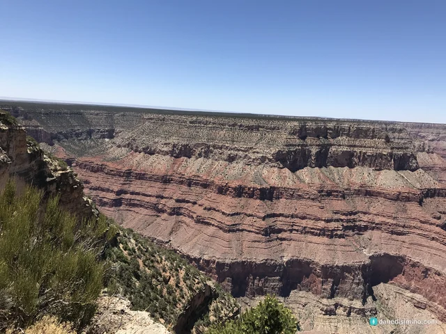
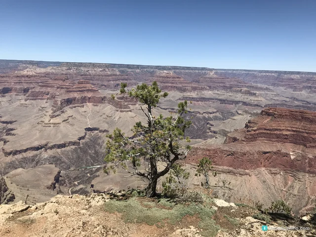
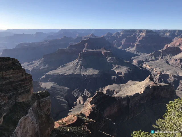
I gasped the first time I walked up to the rim of the Grand Canyon. It was the most beautiful thing I'd ever seen until that point, more than any other park or view before it.
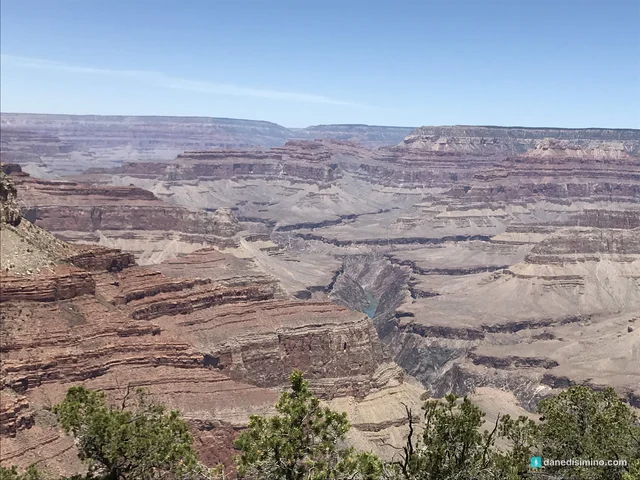
It's the depth, and the vastness. As you walk up, you almost have to rub your eyes to make sure you're really seeing what you're seeing. Then you get immersed in it. You stare for minutes, and the minutes turn into an hour. While you're staring into it, it feels like your own soul is expanding. It's a vast, epic, beautiful, monumental place, and everybody should see it at least once.
We spent two days on the South Rim in late May 2018, right after a quick stop at Arches. It was one of our earliest park trips. In November 2020 we came back to see it from the North Rim. It's in my top five parks, and it's there for the scenery alone.
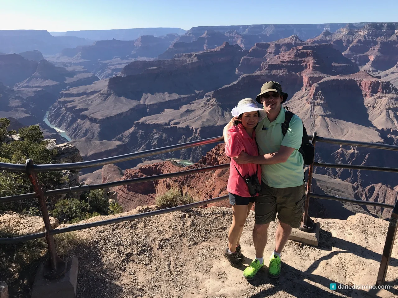
You stare into it for minutes, then an hour. It feels like your soul is expanding.
The short version
Just go. Everyone should see it once. The South Rim is open all year and gets about 90 percent of visitors.
Ride the Hermit Road shuttle. From March through November, the free shuttle is the way to reach the viewpoints west of the village.
Drive Desert View Drive. The 24 miles east to the Watchtower are lined with some of the best overlooks in the park.
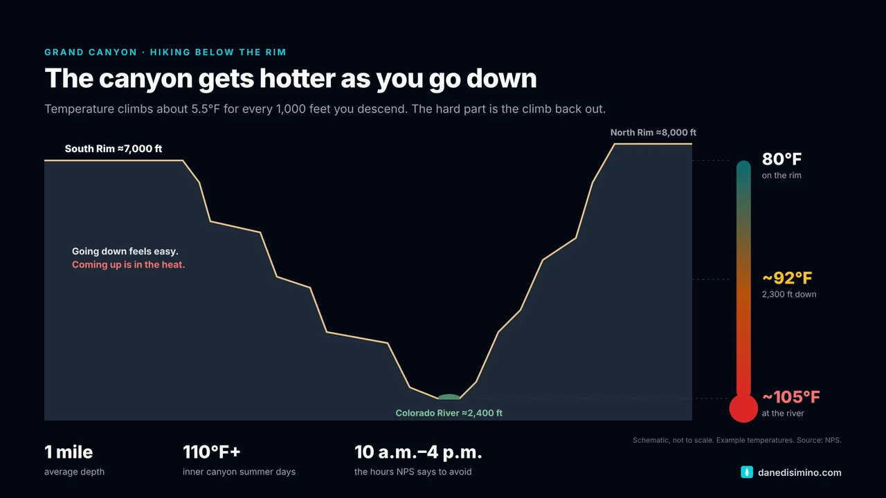
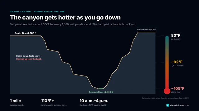
Hike below the rim carefully. Bring far more water than you think, avoid 10 a.m. to 4 p.m. in summer, and turn around early. We had to.
Stay for sunset. The canyon turns red and gold in the last hour of light.
See the North Rim if you can. It's higher, quieter and seasonal, and it pairs well with Zion.
The park at a glance
- 1 mile
- Average depth
- 278 mi
- Of Colorado River in the park
- 10 mi
- Average distance rim to rim
- $35
- Per vehicle at the gate
Where: northern Arizona. The South Rim is about an hour and a half north of Flagstaff.
Entrance fee: $35 per vehicle, good for seven days. Card only, no reservations or timed entry. Non-U.S. residents 16 and older pay an extra $100 per person unless they have an annual pass.
When: July is the busiest month and January the quietest. Spring break and Memorial Day through Labor Day are crowded; arrive before 10 a.m. or after 2 p.m. to avoid long lines at the gate.
Two rims: the South Rim sits around 7,000 feet and is open all year. The North Rim, around 8,000 feet, is seasonal and remote, with services typically from mid-May to mid-October.
Contact: nps.gov/grca. In an emergency, call 911.
How the canyon was made
Park rangers teach it with one word: DUDE. Deposition, Uplift, Downcutting, Erosion.
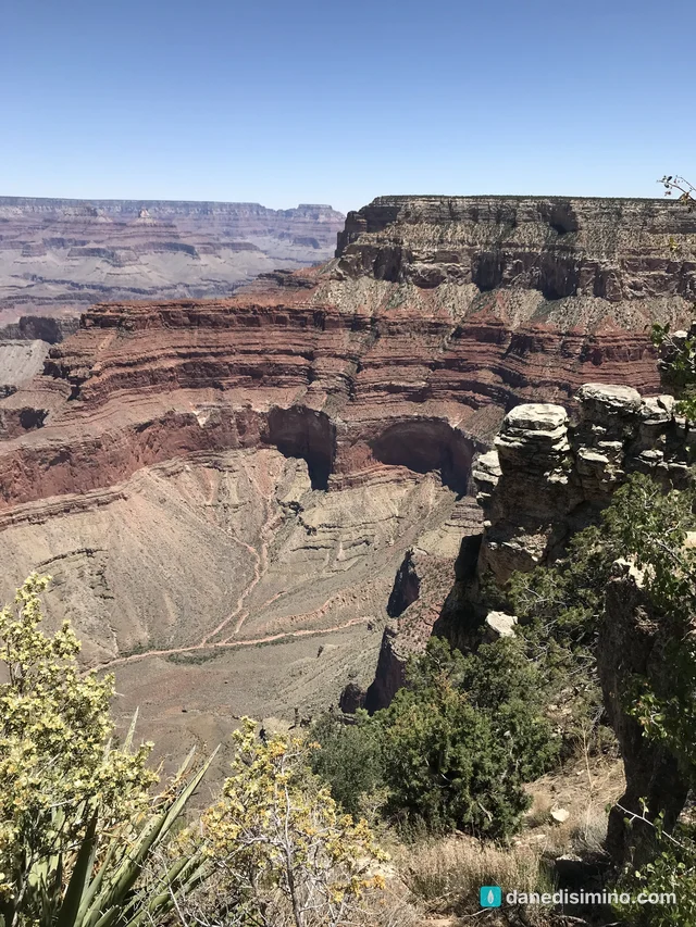
Deposition. The story starts almost 2 billion years ago. The dark rock at the very bottom, in the Inner Gorge, is about 1.8 billion years old. On top of it, seas, rivers, swamps and deserts laid down layer after layer of sedimentary rock, oldest at the bottom, youngest at the top. Every band of color you see from the rim is a different chapter.
Uplift. Between about 70 and 30 million years ago, the whole region was pushed up into the high, flat Colorado Plateau. The Kaibab Limestone at the rim formed on an ocean floor. Today it sits as high as 9,000 feet.
Downcutting. Only about 5 to 6 million years ago, the Colorado River began cutting down through that rising plateau, carrying sand and rock that worked like sandpaper.
Erosion. Side streams, rain, ice and rockfalls widened the canyon into what you see today. It's still deepening and widening, slowly.
So the rocks are ancient, but the canyon itself is young, at least as geologists count.
- 1.8 billion
- Years old: the rock at the bottom
- 5–6 million
- Years since the river began carving
- 18 mi
- Widest point, rim to rim
- 5.45 trillion
- Cubic yards of empty space
A short history
People have lived in and around the canyon for thousands of years, and 11 Native tribes still hold deep ties to it, including the Havasupai, Hopi, Hualapai, Navajo and several Paiute bands. Spanish explorers reached the rim in 1540. John Wesley Powell led the first expeditions down the river in 1869 and 1871–72.
Protection came in steps. Benjamin Harrison made it a forest reserve in 1893. Theodore Roosevelt, who first saw it in 1903, proclaimed it a national monument in 1908. Congress made it a national park on February 26, 1919. It became a World Heritage Site in 1979 and an International Dark Sky Park in 2019.
The first view
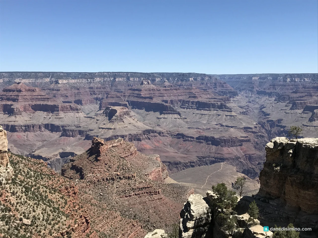
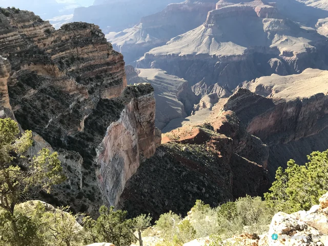
Our first stop was the rim near the Bright Angel Trailhead in Grand Canyon Village, on the morning of May 25. That's where I gasped. There's no warning: you walk past the lodges and the trees, and then the ground just ends and the canyon opens up in front of you.
Hermit Road: Hermits Rest to Hopi Point
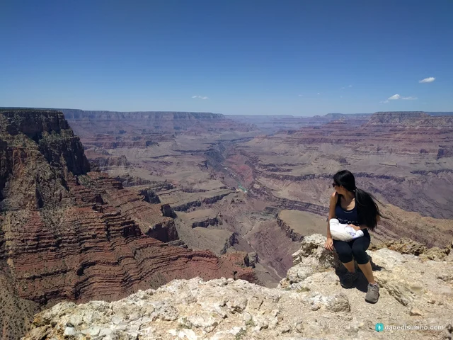
Hermit Road runs seven miles west from the village along the rim, and from March through November you ride it on the free red-route shuttle. We rode out to the end and worked our way back.
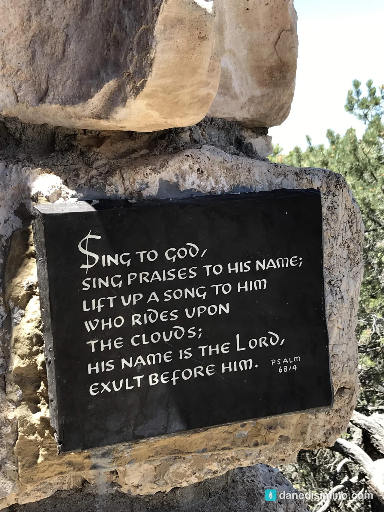
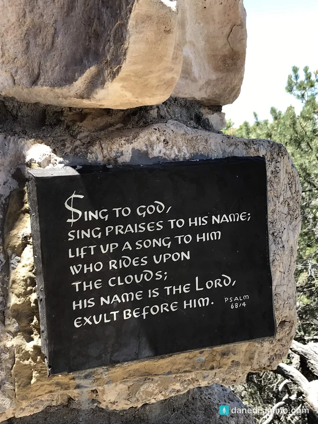
Hermits Rest is the end of the line, a stone rest house built in 1914 by architect Mary Colter, now a gift shop and snack bar. There's a water station to refill your bottles with Grand Canyon spring water. And tucked by the trail, we found a small plaque with Psalm 68:4: "Sing praises to God and to his name! Sing loud praises to him who rides the clouds. His name is the LORD—rejoice in his presence!" (NLT). At the edge of all that, it fit.
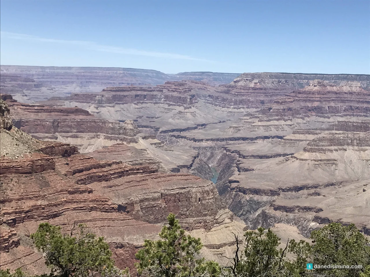
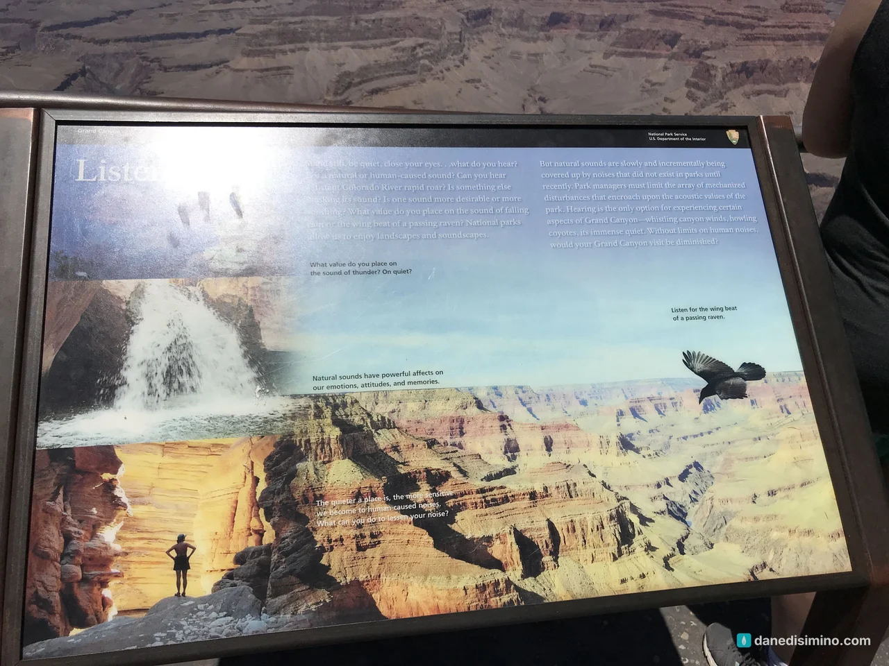
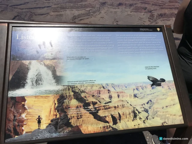
Pima Point is one of the few spots on the rim where you can sometimes hear the Colorado River. On quiet days the roar of Granite Rapid echoes up from far below. A sign there says just one word, "Listen," and asks you to stand still and hear the canyon.
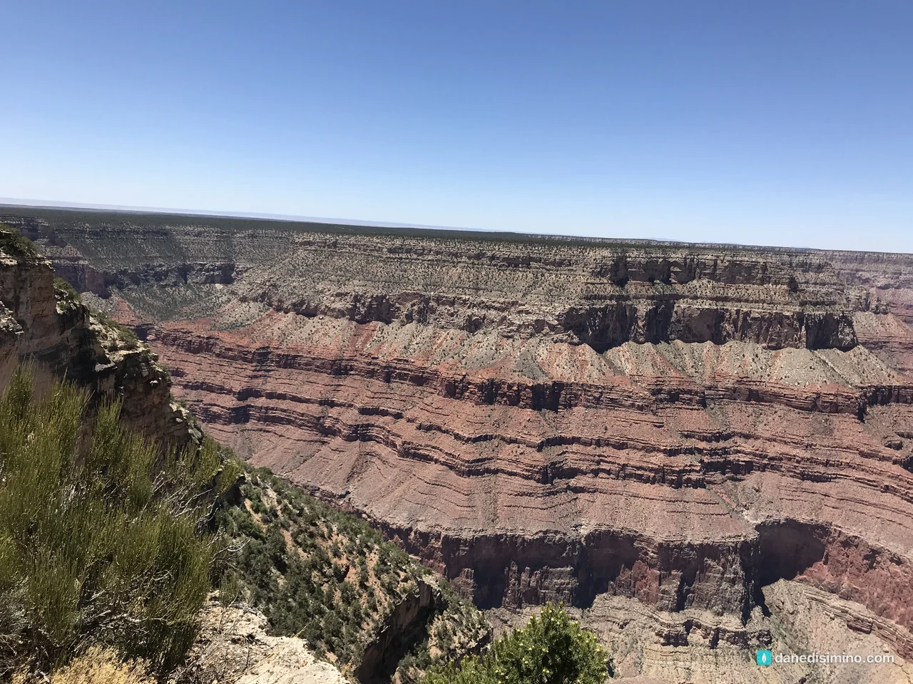
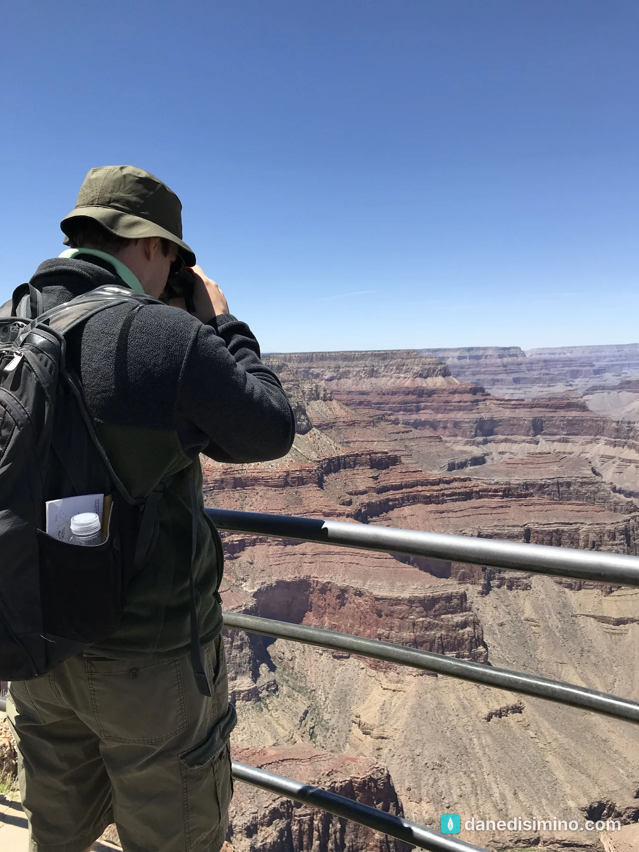
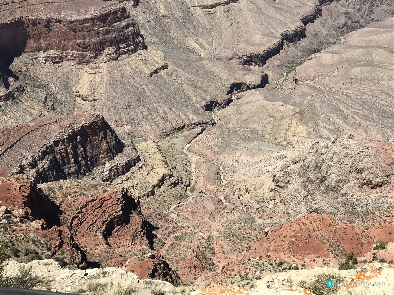
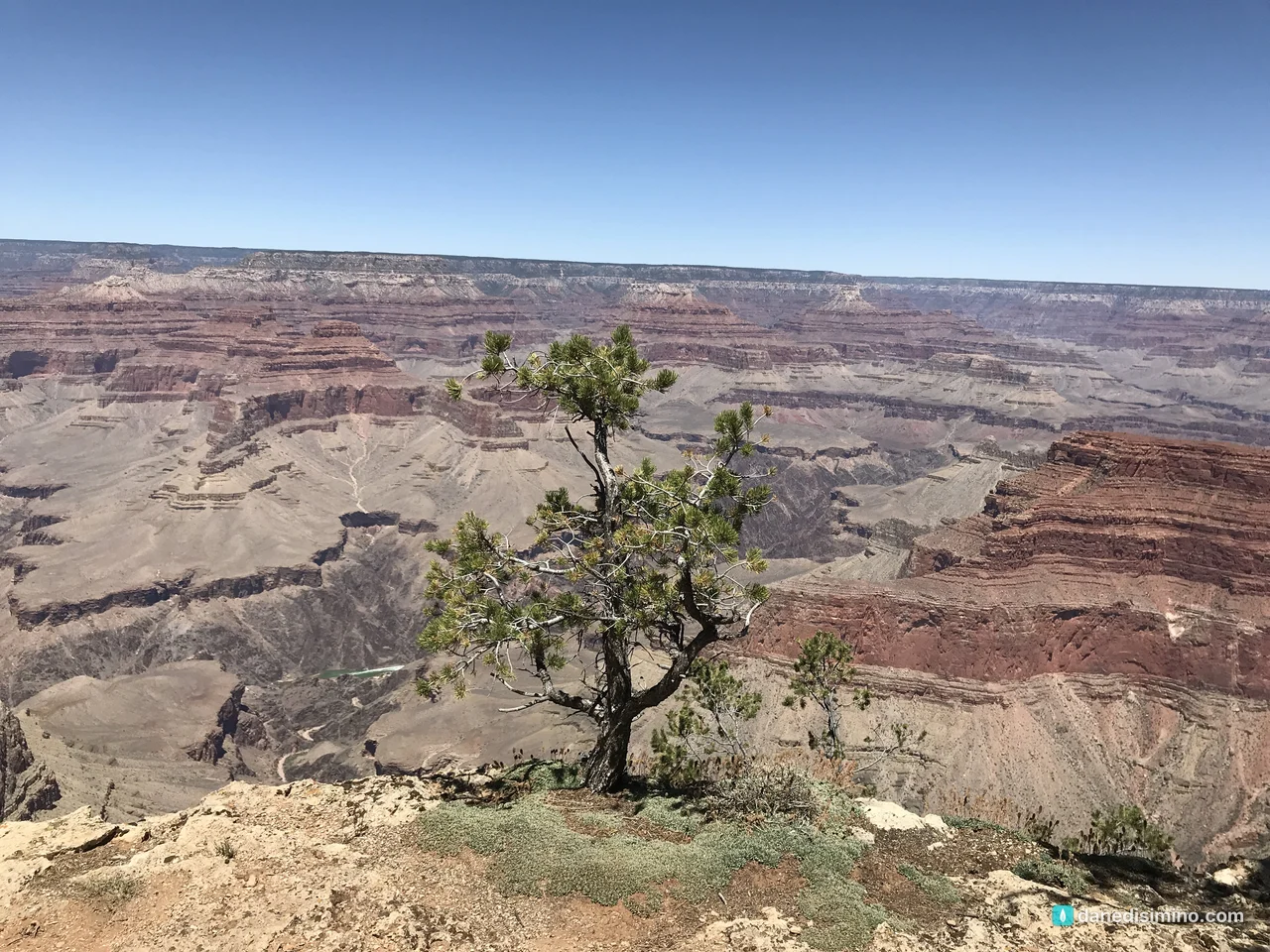
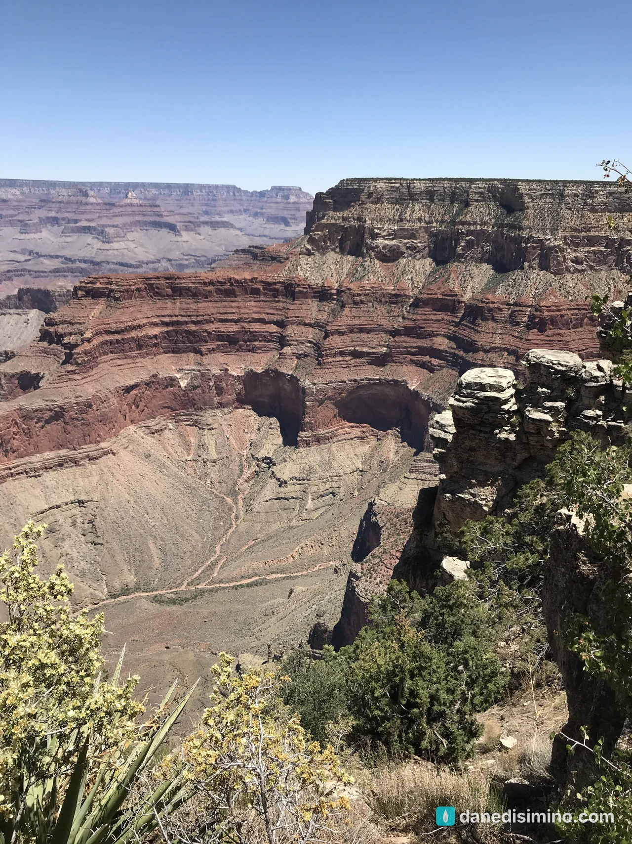
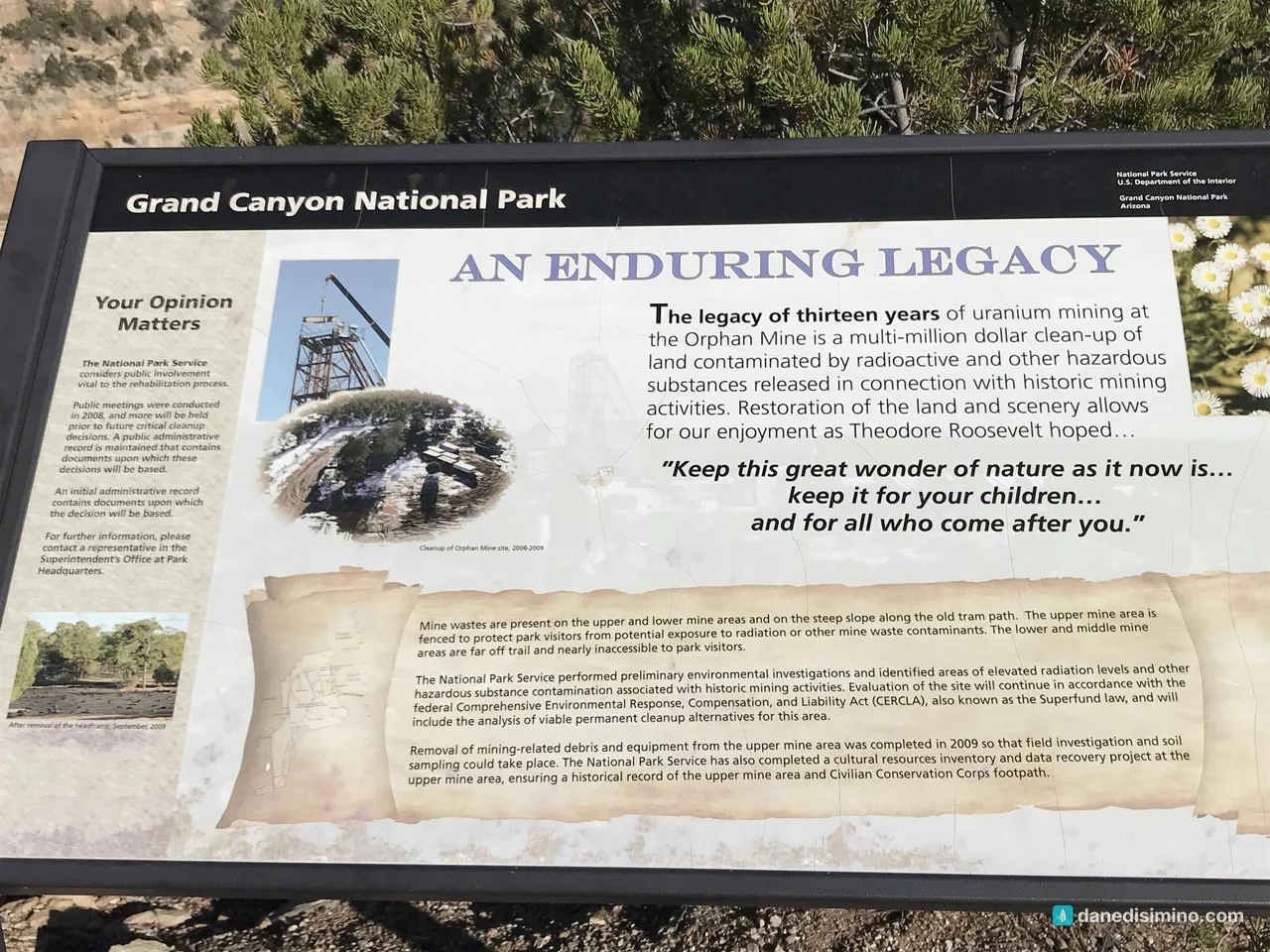
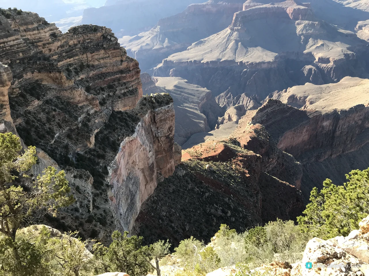
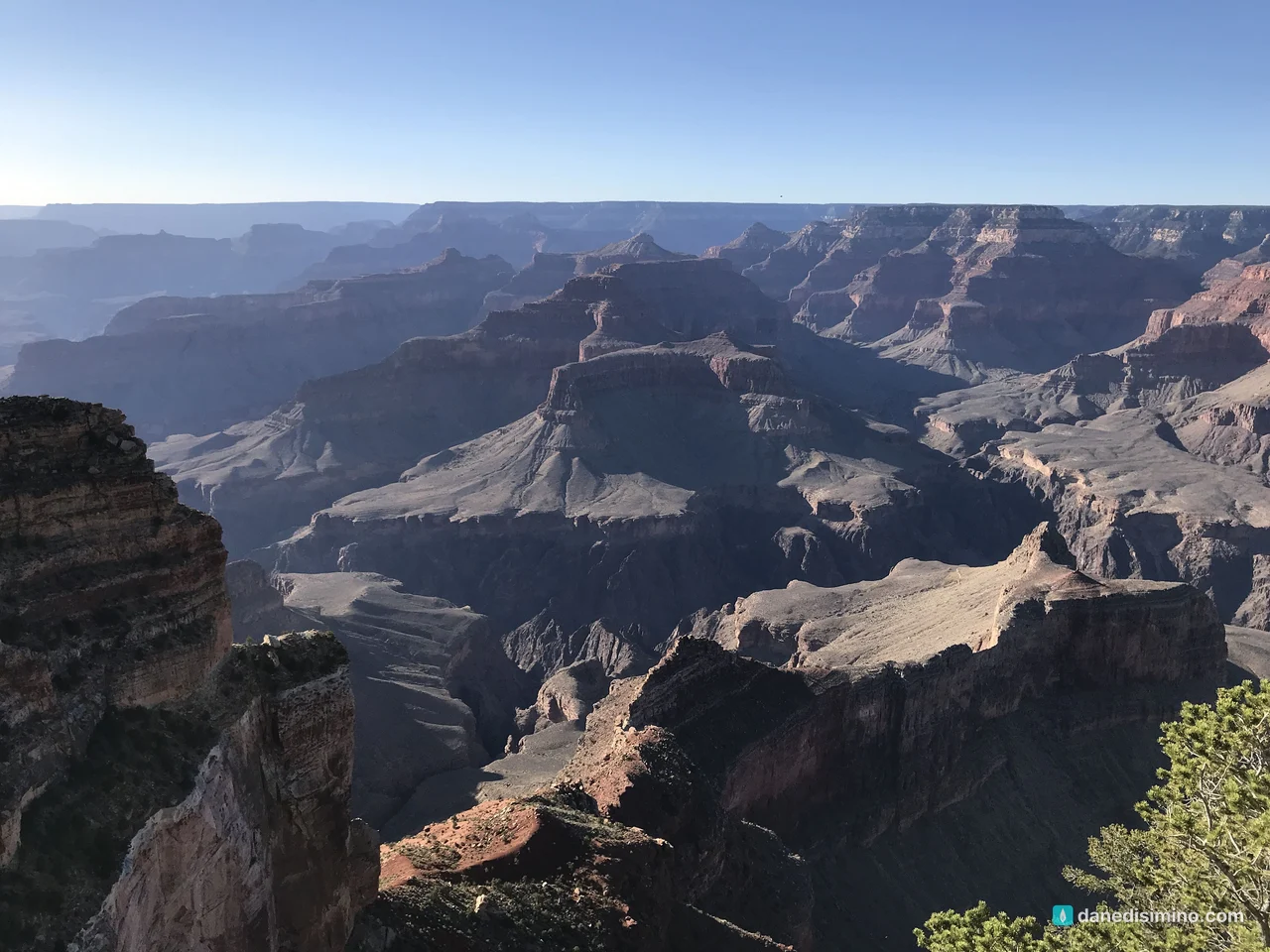
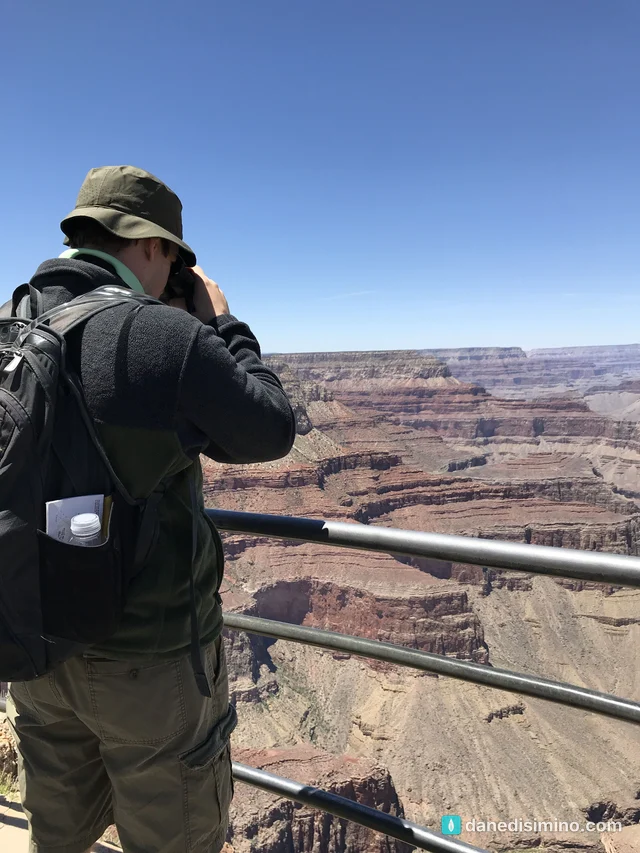
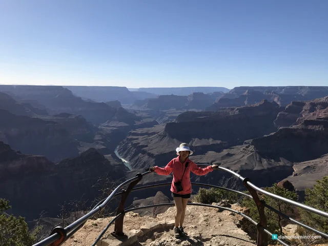
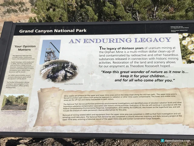
Late in the afternoon we were at Mohave Point, where you can see the river and three of its rapids, and then Powell Point, home to the memorial to John Wesley Powell, who led the first expeditions down the Colorado River in 1869 and 1871–72. A sign near Powell Point tells the story of the old Orphan Mine below the rim, where uranium was mined for 13 years, a site the Park Service has been working to clean up. It quotes Theodore Roosevelt at the canyon in 1903: "Keep this great wonder of nature as it now is."
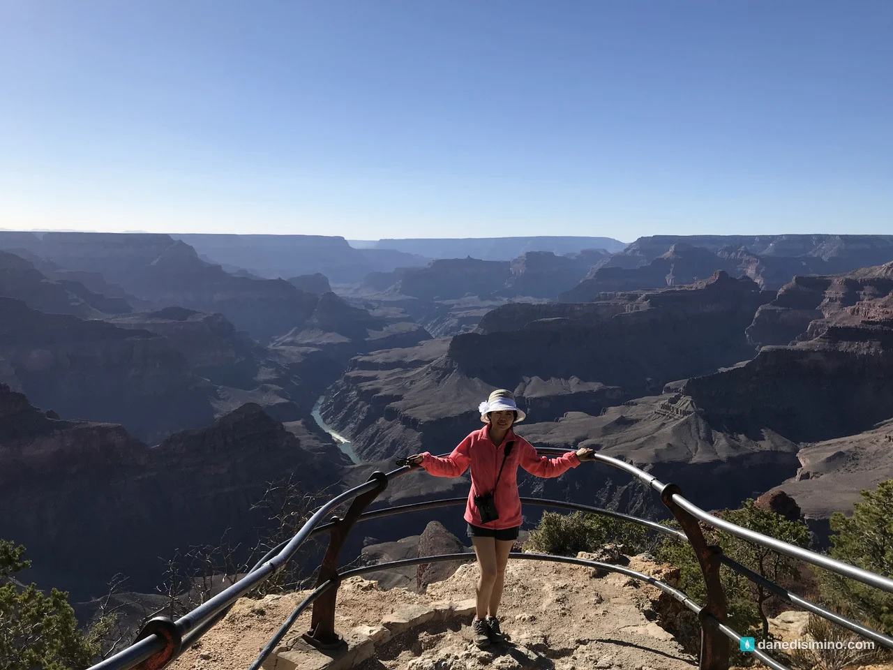
The wildlife
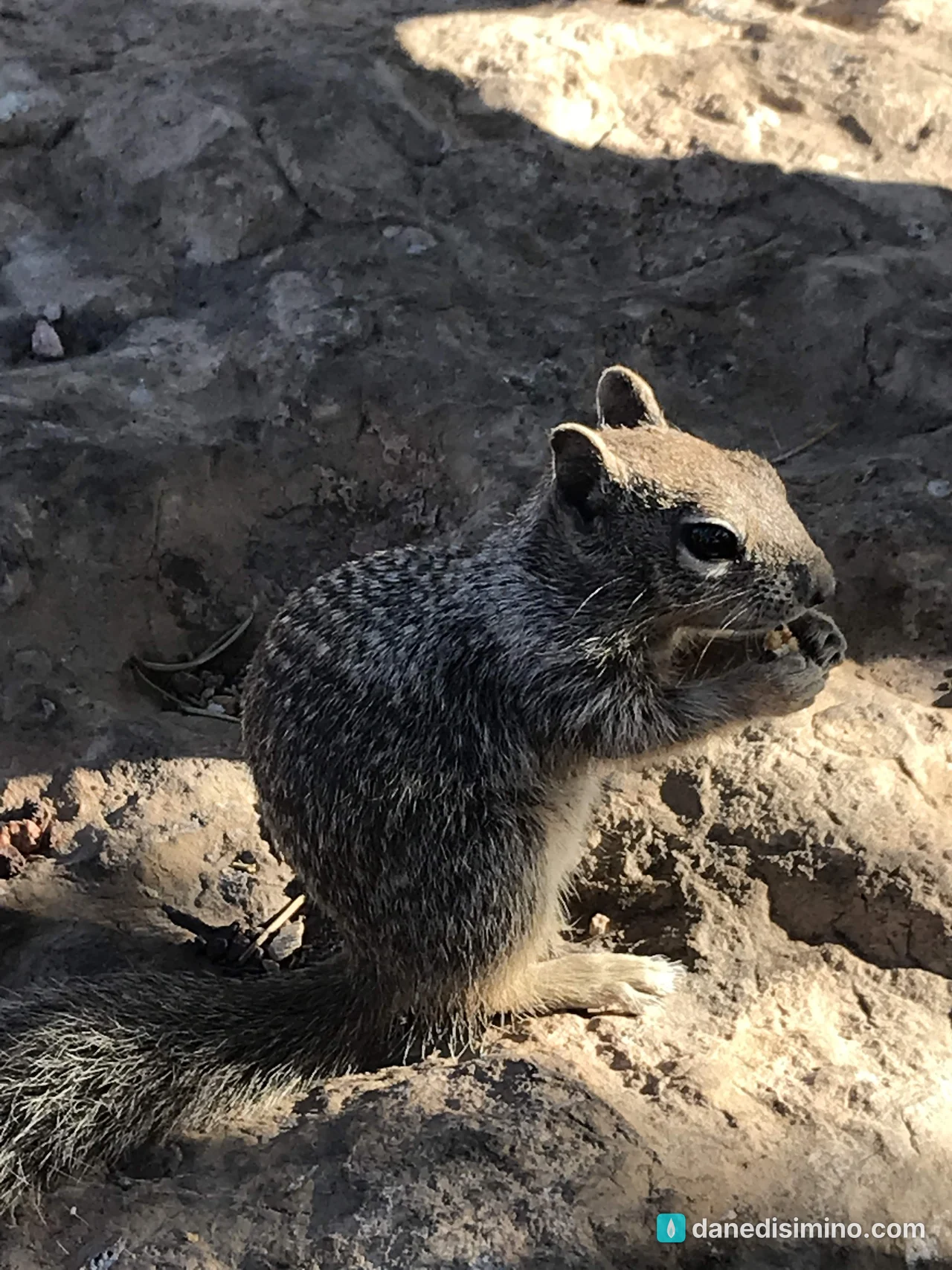
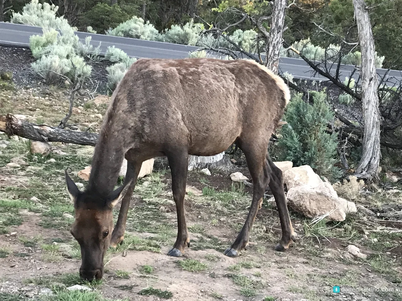
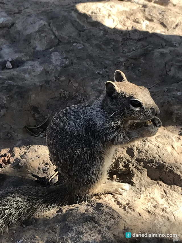
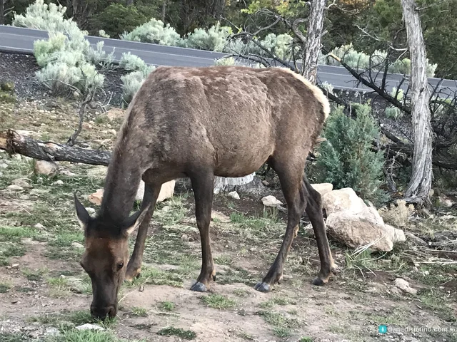
The animals were a highlight too: birds of prey riding the updrafts over the rim, deer, and plenty of company at the viewpoints. A rock squirrel posed for us near Hopi Point, and that evening an elk was grazing right beside the road near Mather Point.
Desert View Drive
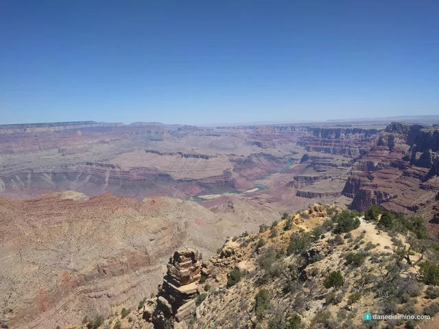
On May 26 we drove east on Desert View Drive, the road that follows the rim about 24 miles from the village to Desert View. We started at the far end, at the Desert View Watchtower, a stone tower designed by Mary Colter, where the canyon opens wide and the river bends below.
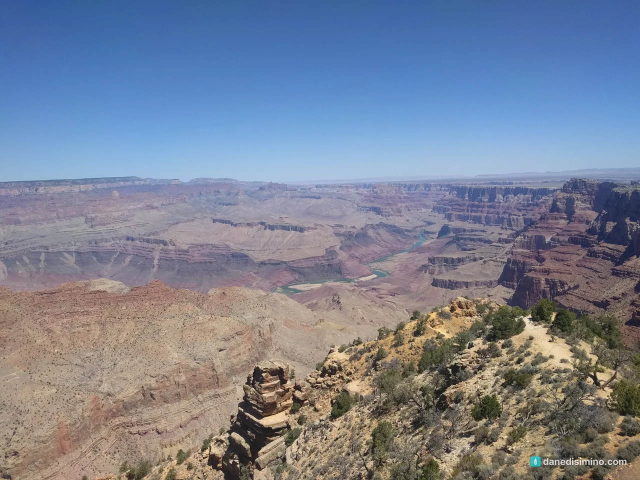
Then we worked our way back west, stopping at Lipan Point and Moran Point, named for the painter Thomas Moran, whose paintings of the West helped inspire the creation of national parks.
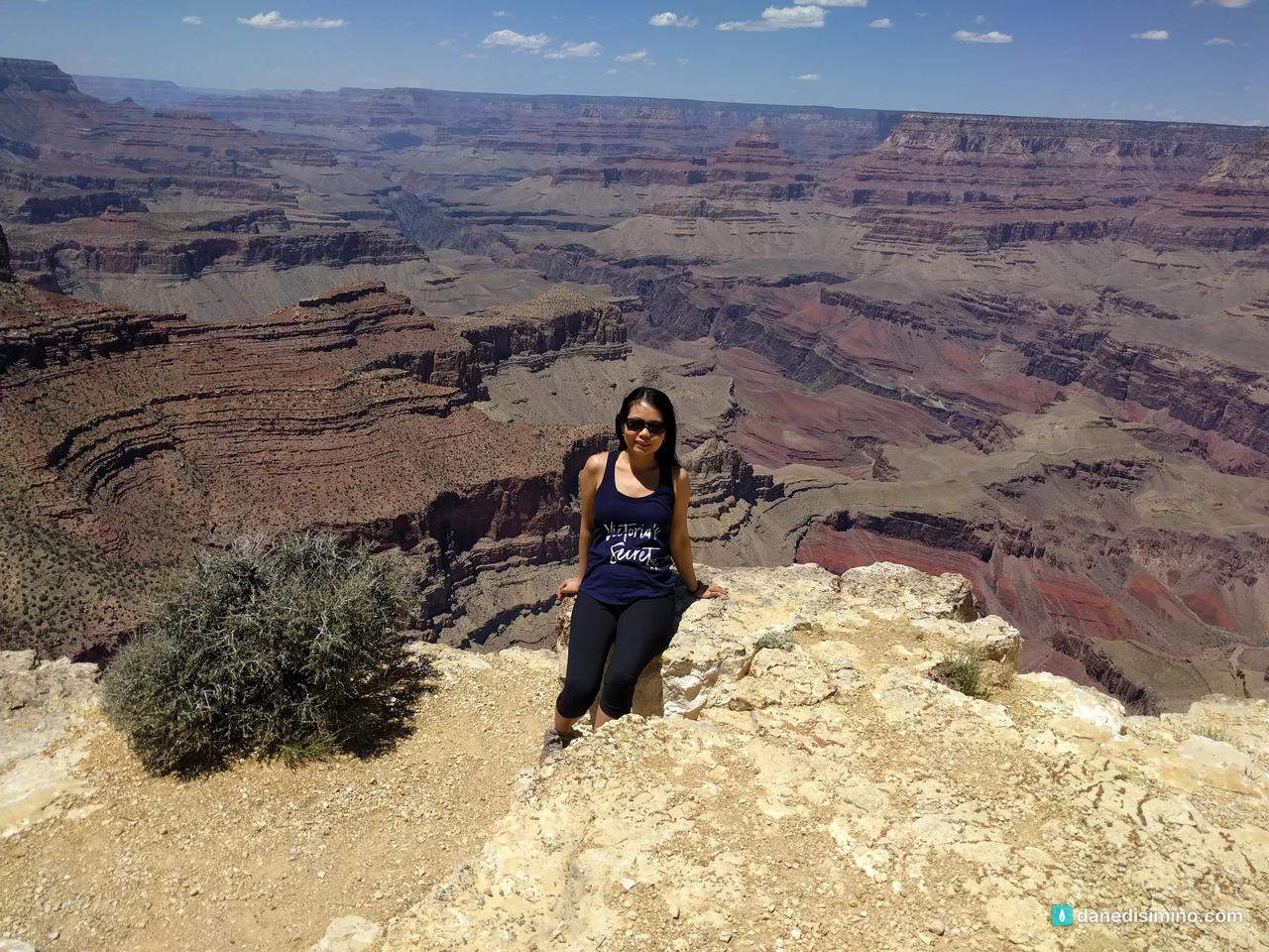
The hike down, and back up
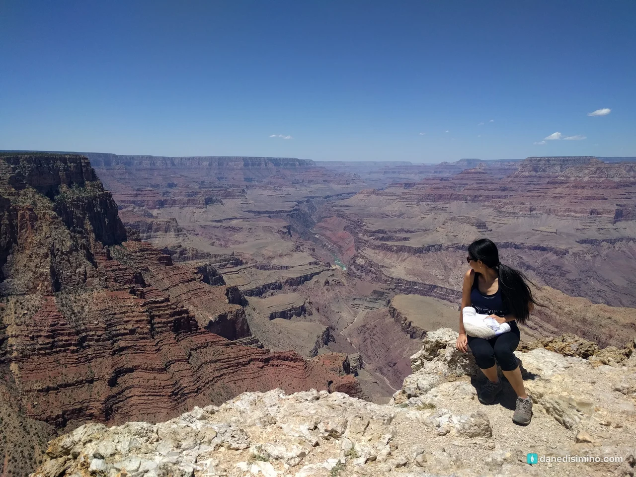
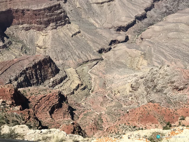
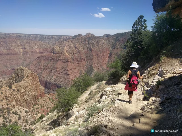
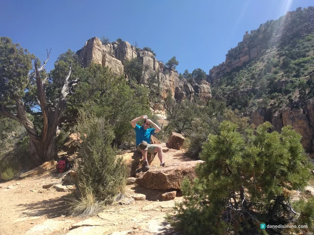
At Grandview Point we started down the Grandview Trail. Going down felt easy. But it was early afternoon, the sun was blazing, and even in late May it got steaming hot fast. We didn't have enough water, so we turned around and climbed back up.
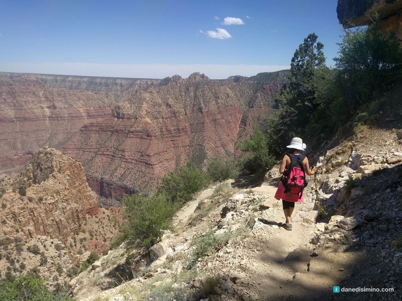
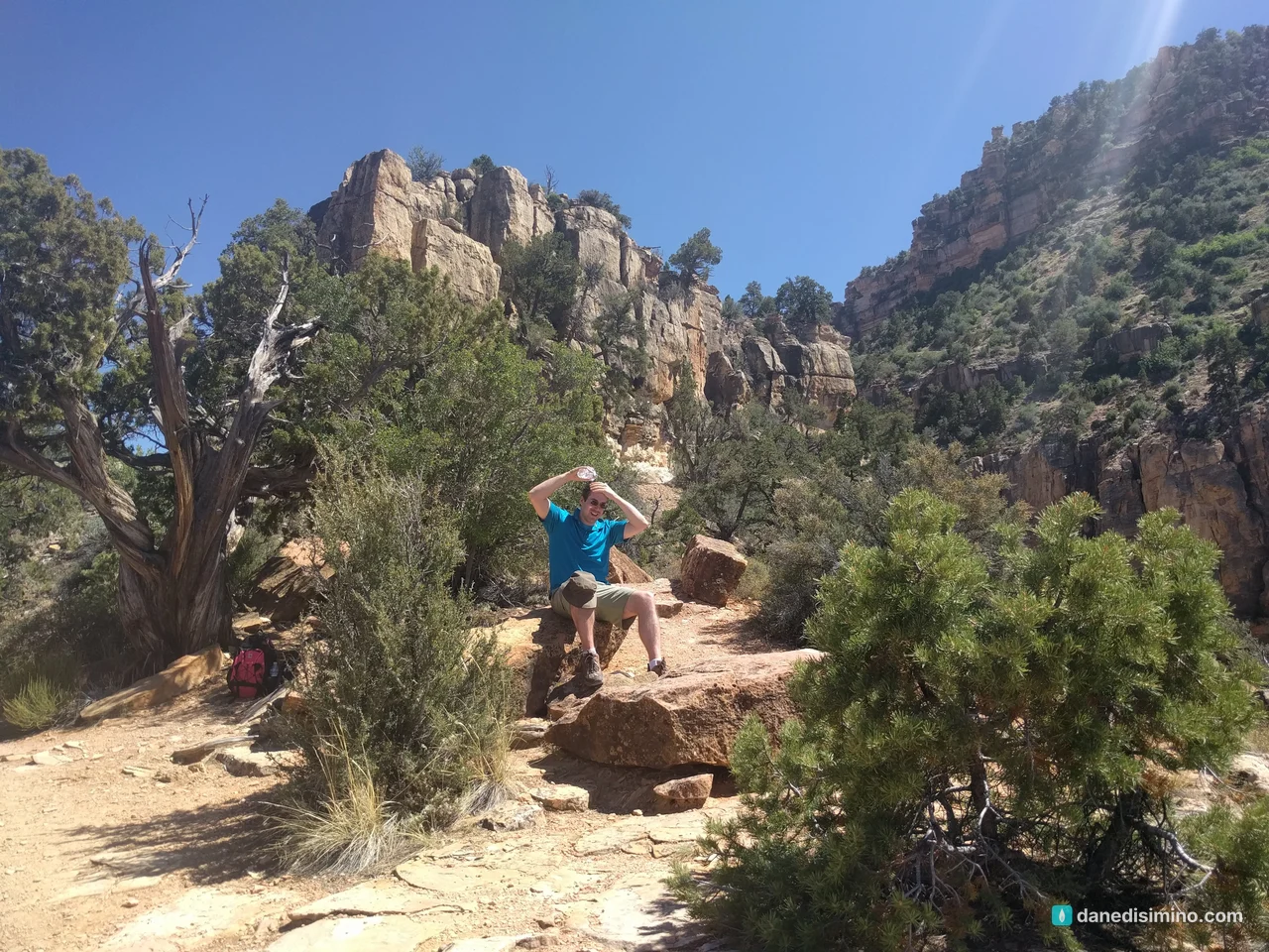
This was early in our hiking journey, and we didn't know what we were doing. We picked a trail the Park Service describes as "for experienced desert hikers only," with steep pitches, big steps and no drinking water. And we picked the hottest hours of the day.
If you want your first canyon hike to be a good one, start on the Bright Angel Trail early in the morning. It's the park's most popular trail, with resthouses, shade in the morning and afternoon, and seasonal water. Go a short way down, then come back up before the heat.
Sunset at Yavapai Point
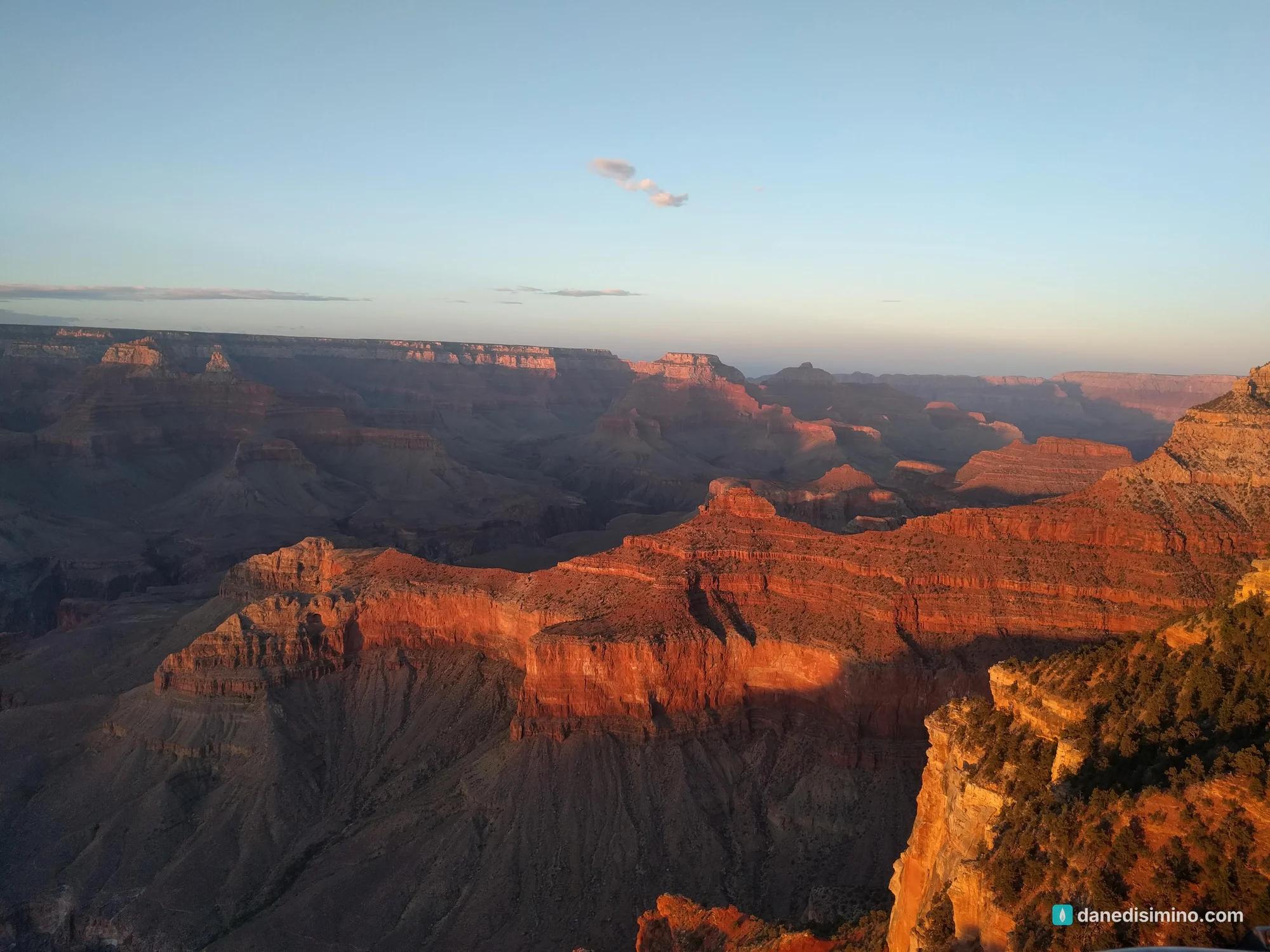
We ended at Yavapai Point, next to the Yavapai Geology Museum. As the sun went down, the walls of the canyon turned deep red and orange, one ridge at a time, while the shadows filled in below.
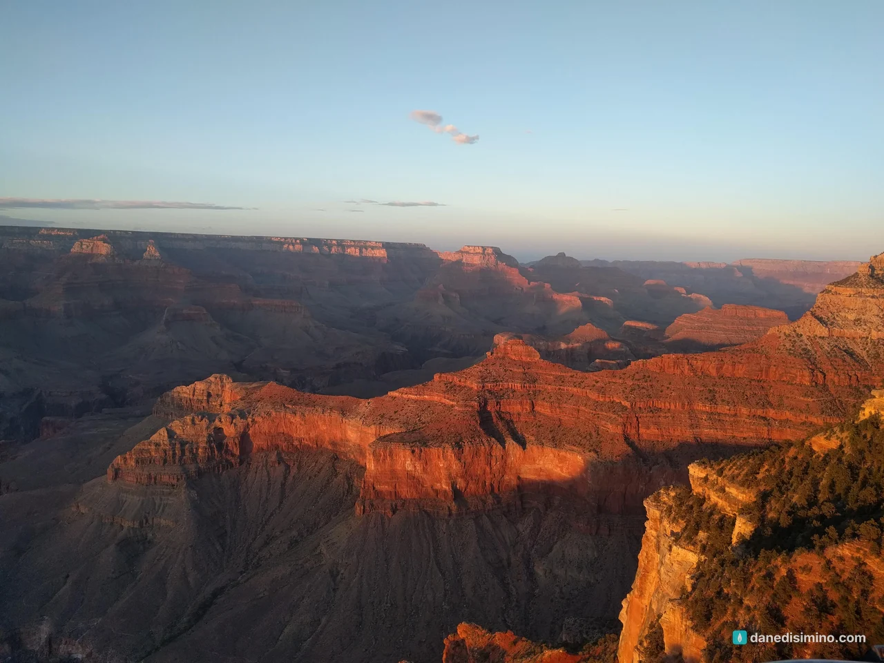
The North Rim, November 2020
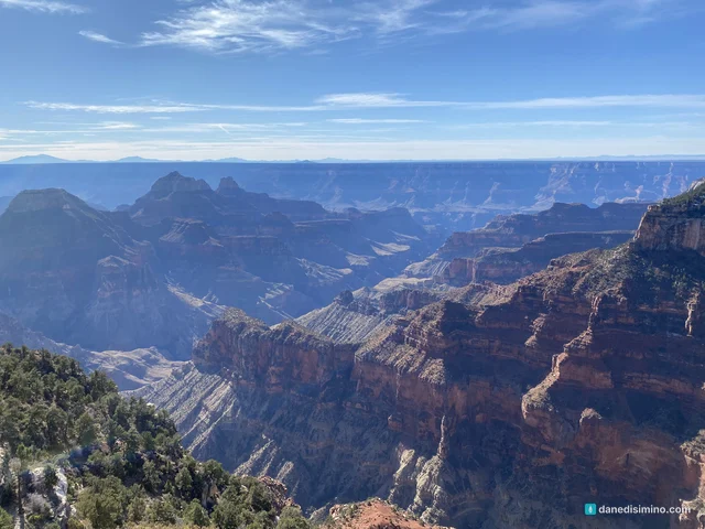
Two and a half years later we saw the canyon from the other side. On November 21, 2020, the morning after our day in Zion, we drove out through the Zion tunnel and south across the Kaibab Plateau to the North Rim, about three hours. It was the third stop on a four-park trip: Capitol Reef, Zion, the North Rim and Bryce Canyon.
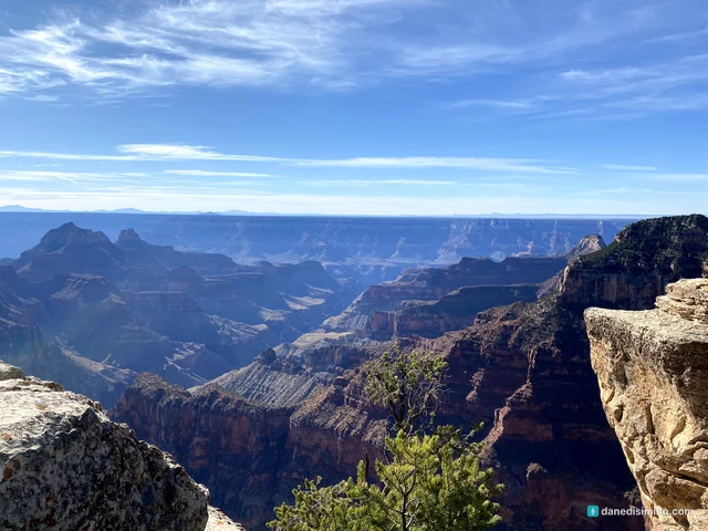
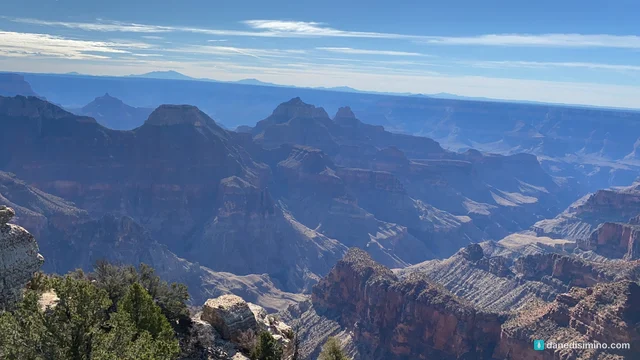
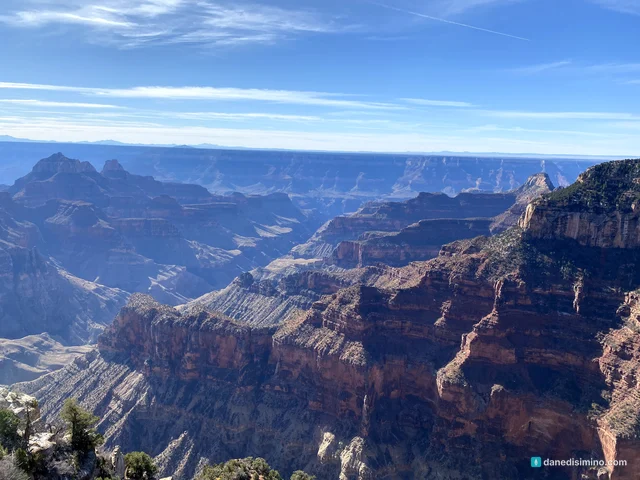
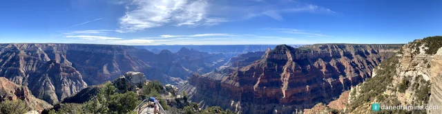
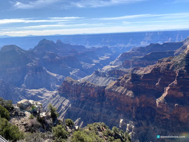
The North Rim feels like a different park. It sits about 1,000 feet higher than the South Rim, in forests of pine, spruce and fir, and only about one in ten Grand Canyon visitors ever makes it here. The South Rim is about 10 miles away across the canyon, but more than 200 miles by road. In late November the lodge and services had closed for the season, but the road was still open for day visits, so we had the rim almost to ourselves.
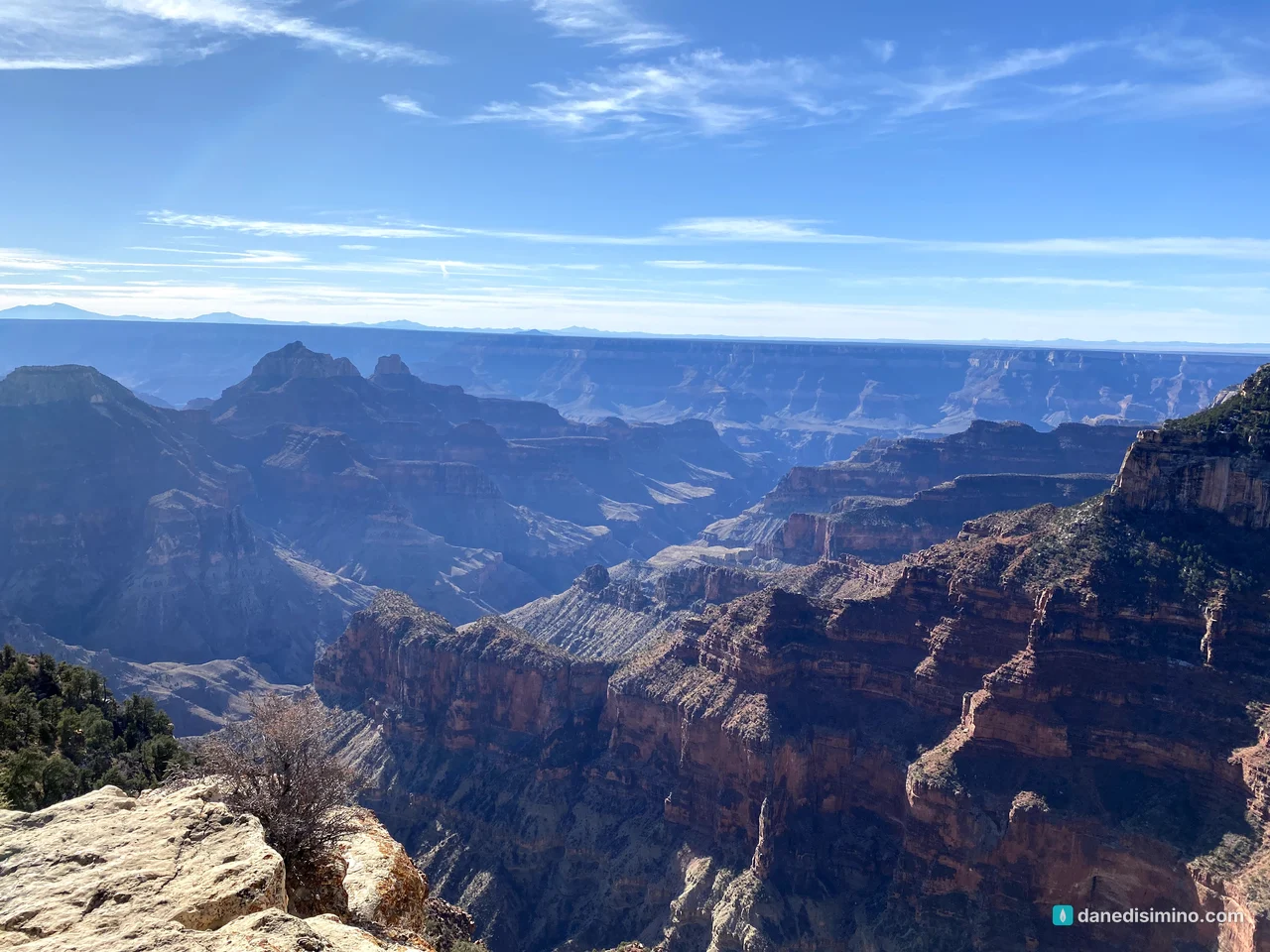
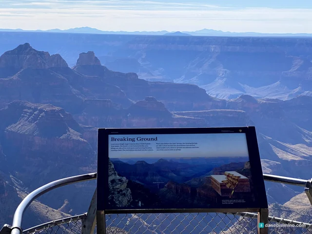
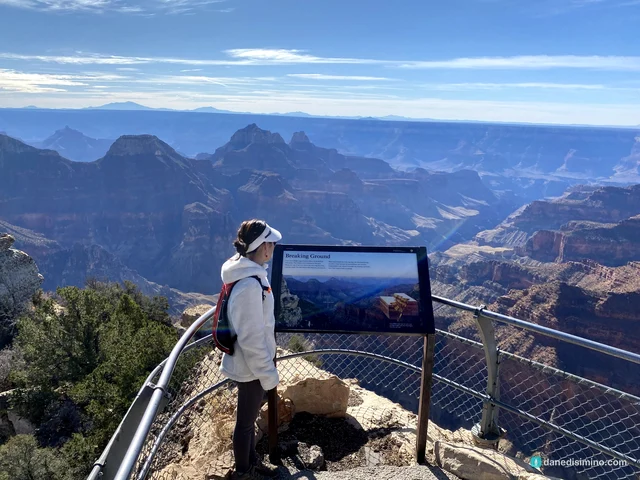
We spent the late morning on the short, paved trail out to Bright Angel Point, a narrow finger of rock that sticks out between two side canyons, with drop-offs on both sides and railings at the end.
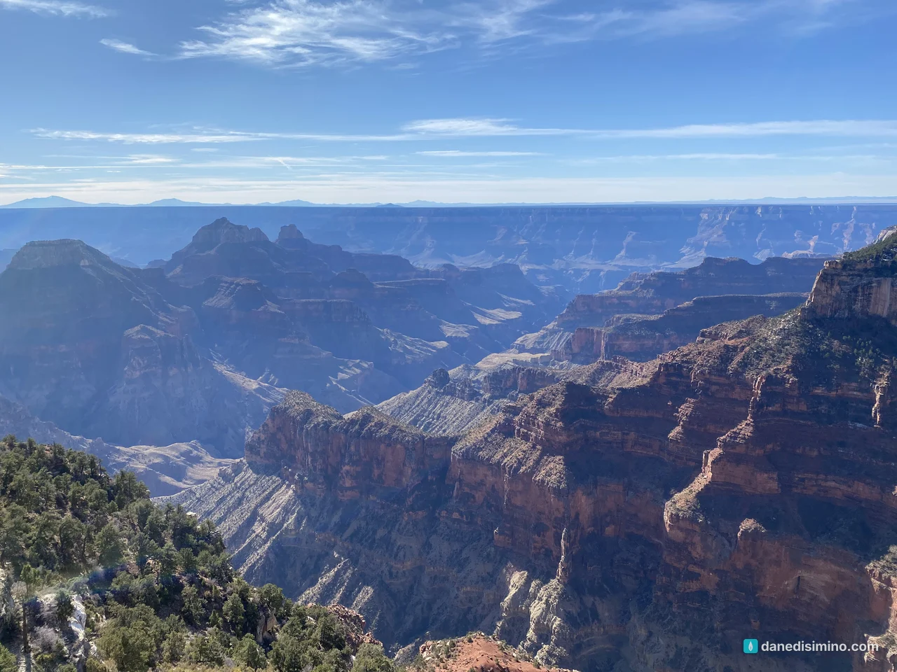
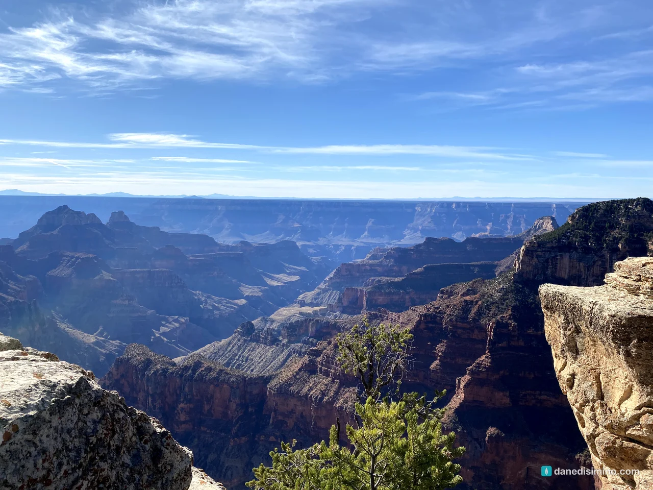
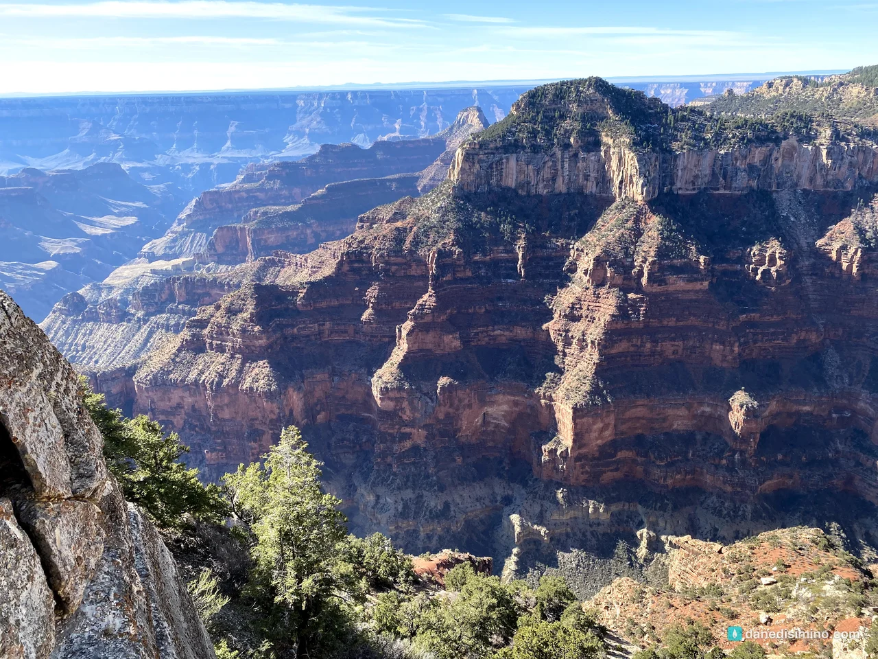
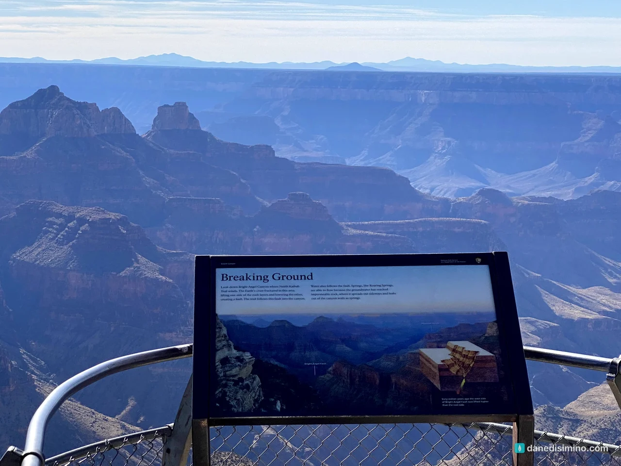
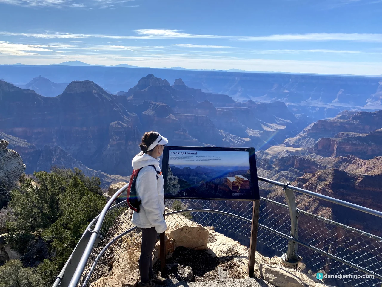
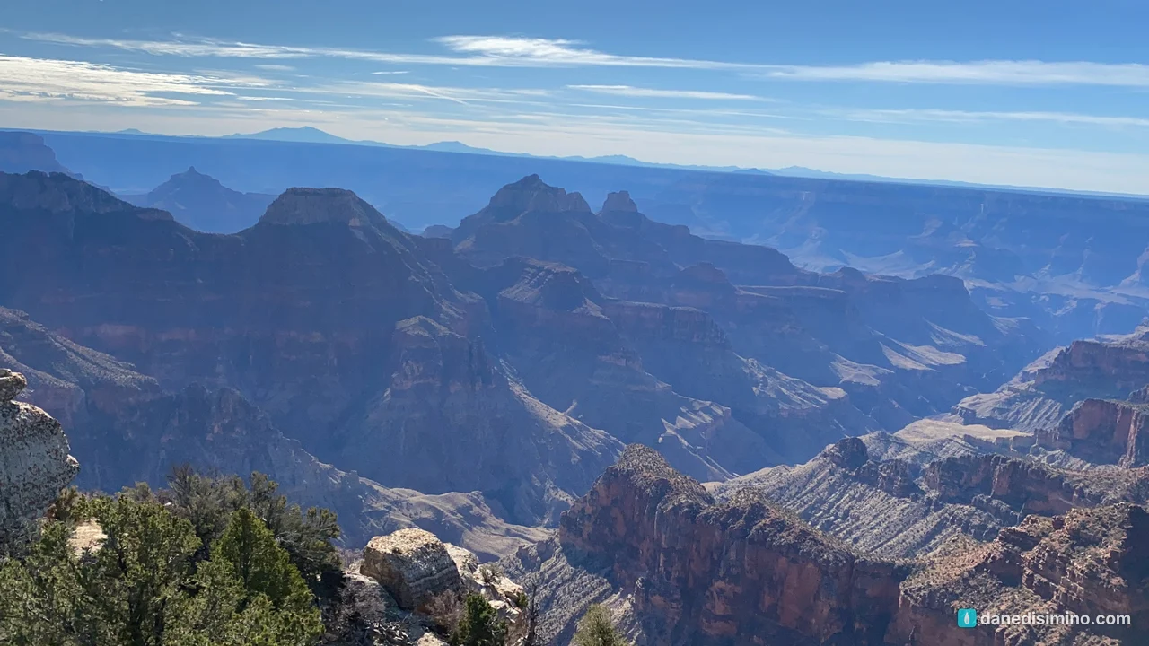
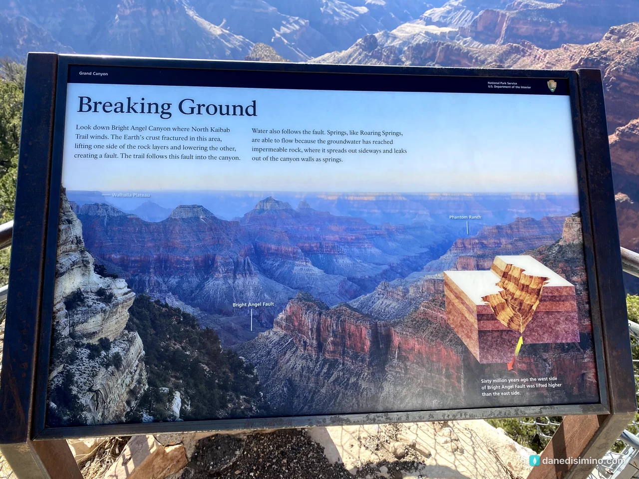
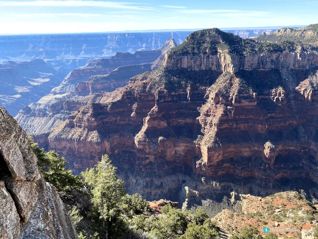
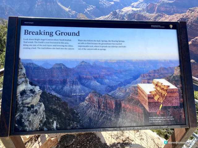
A sign at the point explains what you're looking down into. Bright Angel Canyon follows a fault, a crack in the earth's crust where one side was lifted and the other dropped. The North Kaibab Trail follows that fault down toward the river, and on a clear day you can pick out the area of Phantom Ranch far below.
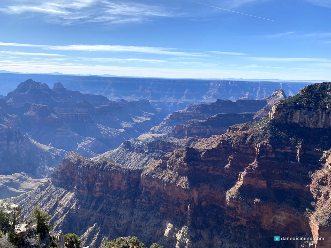
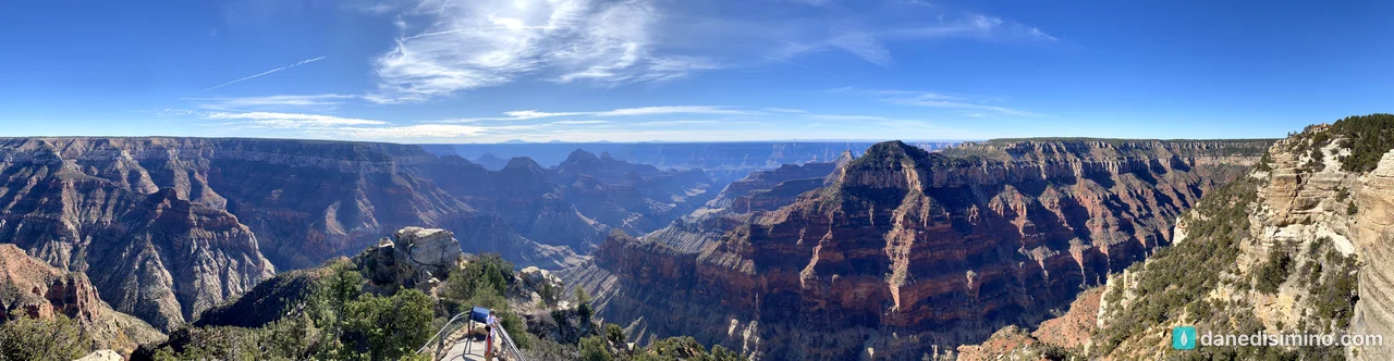
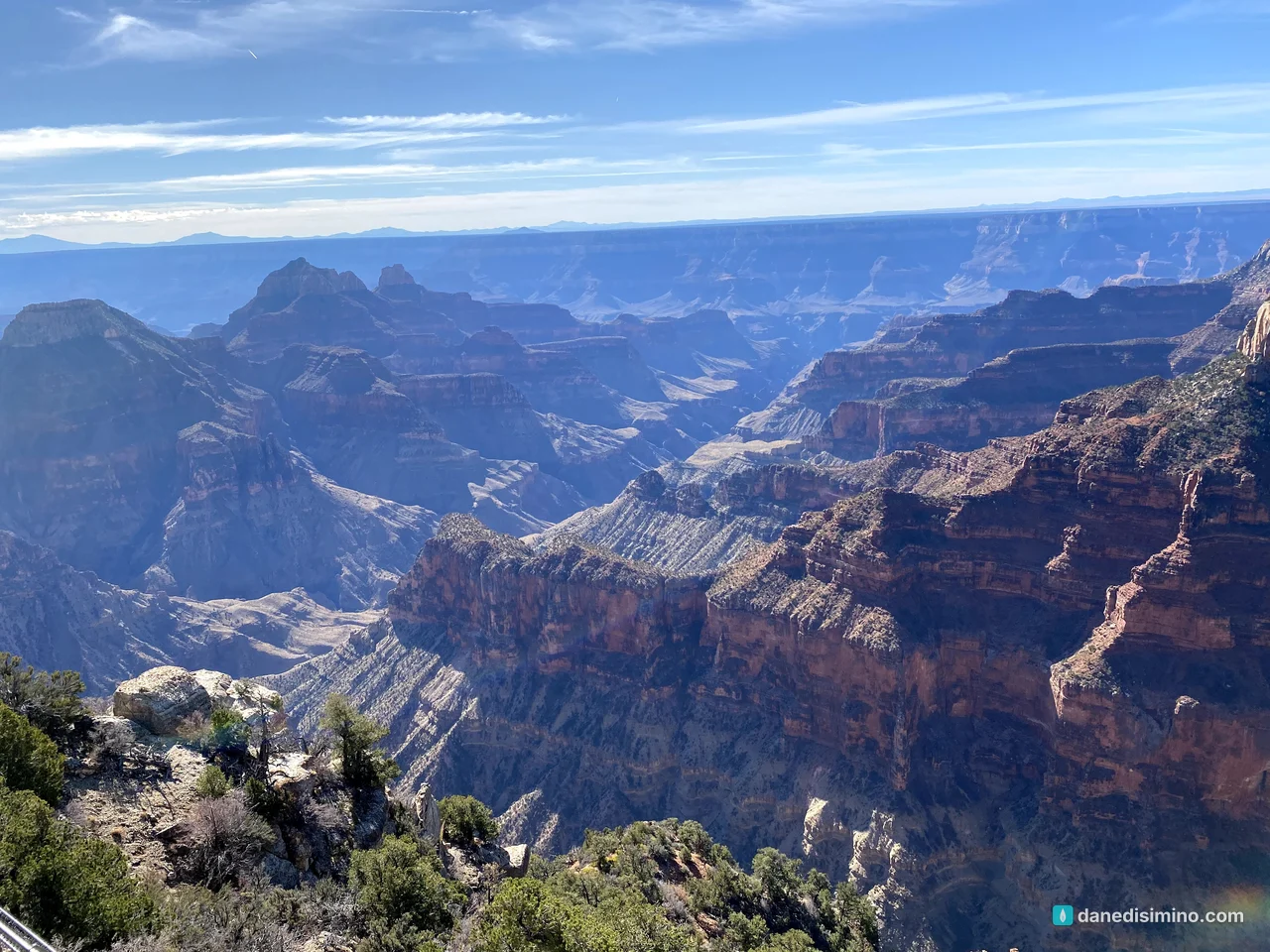
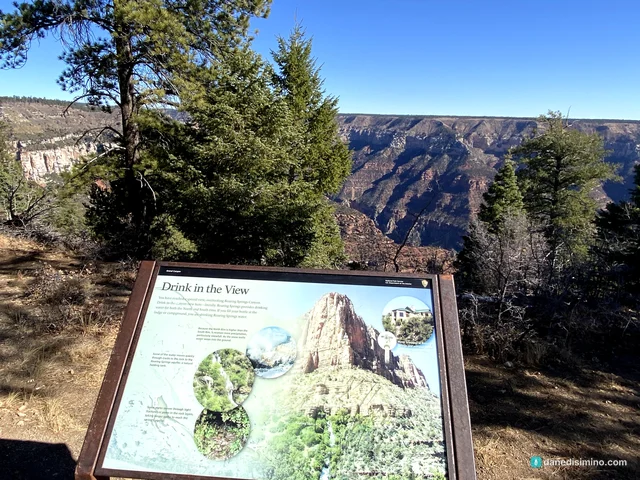
Near the end of the walk, another sign looks down into Roaring Springs Canyon. Roaring Springs, below the North Rim, has long supplied drinking water for both rims. Snow on the high North Rim soaks into the rock and comes out of the canyon wall as springs.
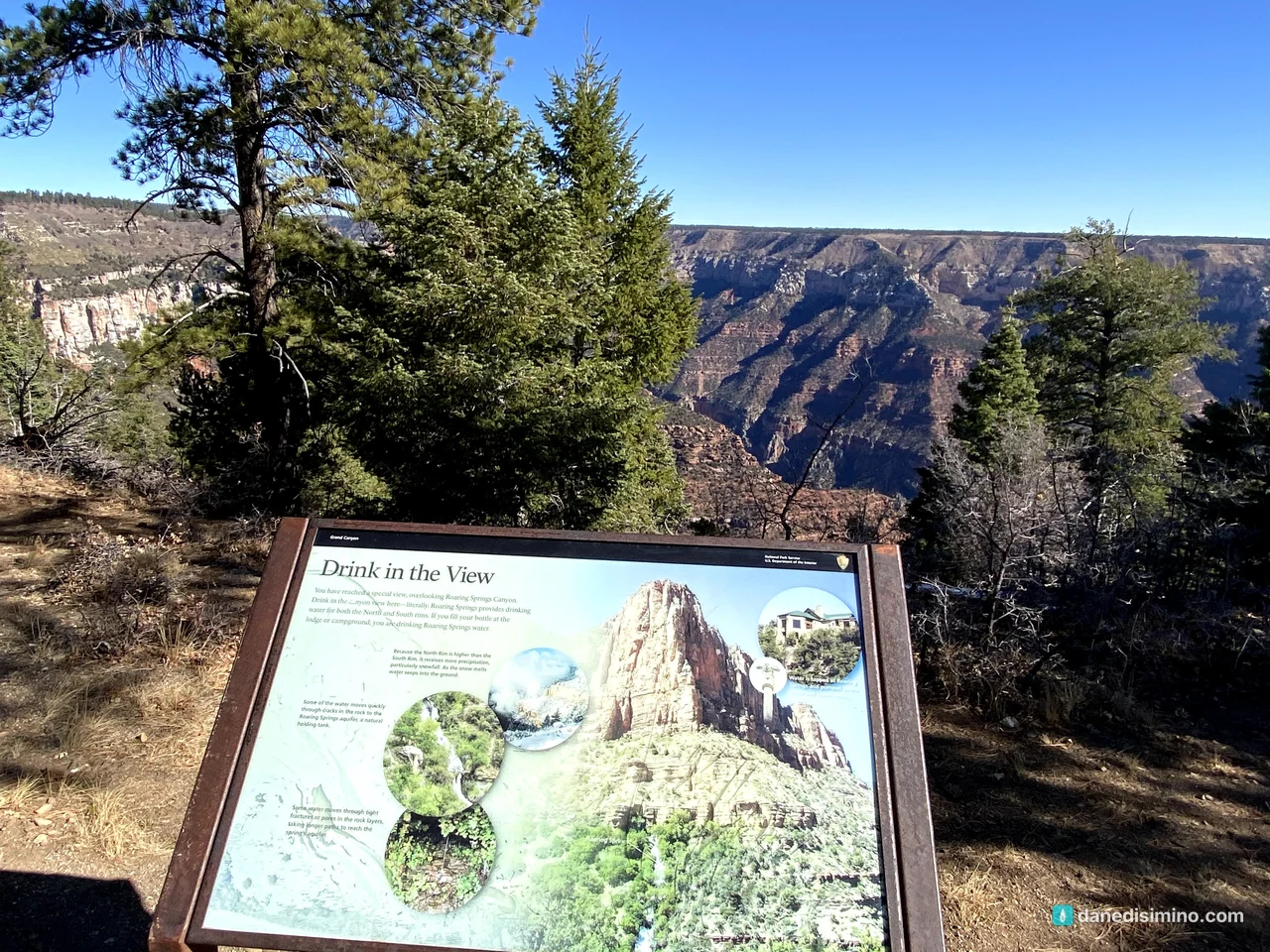
Then we drove back toward Zion by way of Vermilion Cliffs National Monument, and went on to Bryce Canyon the next day.
Where to stay
For the South Rim in 2018, we stayed in a hotel in Flagstaff, about an hour and a half away, and drove up each morning. The North Rim was a day trip from Zion. If I did it again, I'd camp. Mather Campground is right in Grand Canyon Village, and Desert View Campground is out at the east end of the park; book through Recreation.gov. The town of Tusayan sits just outside the south entrance, and there are lodges right on the rim in the village if you want to wake up to the view.
Make it a bigger trip
Pair it with southern Utah. We drove down from Colorado through Moab and stopped at Arches. Zion, Bryce Canyon and the rest of southern Utah are an easy add.
Add the North Rim from Zion. It's about three hours from Zion. We did it as a day trip from Zion, coming back past the Vermilion Cliffs.
Give it at least two days. One for Hermit Road and the village, one for Desert View Drive.
What I'd do differently
Hike early, and carry more water. Start at sunrise, on the right trail, with twice the water.
Camp at the rim. Being there for sunrise and sunset without a long drive is worth it.
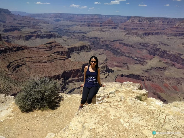
Watch more sunsets. Every point has its own. Hopi Point is one of the best.
What the Grand Canyon taught me
The Grand Canyon taught me how big God is. You stand at the rim and look a mile down and miles across, and you can't take it all in. You just keep staring.
"He holds in his hands the depths of the earth and the mightiest mountains." (Psalm 95:4, NLT)
All of that, in His hands.
Questions?
Ask me anything about the Grand Canyon: where to watch sunset, the shuttle, hiking below the rim safely, the North Rim, or pairing it with a southern Utah trip. I answer every question.
Photos
Sources
- Grand Canyon National Park (NPS)
- Park statistics (NPS)
- Summer hiking: Hike Smart (NPS)
- Weather and climate (NPS)
- Grandview Trail (NPS)
- Hermits Rest (NPS)
- Pima Point (NPS)
- Powell Point (NPS)
- Desert View Watchtower (NPS)
- Moran Point (NPS)
- Yavapai Geology Museum (NPS)
- South Rim campgrounds (NPS)
- Fees and passes (NPS)
- North Rim (NPS)
- Directions to the North Rim from Zion (NPS)
- Grand Canyon Lodge destroyed by wildfire (NPR)
- Geology (NPS)
Pathlight
Park guides from the road. A printable trip sheet comes with them when one is ready.