
NATIONAL PARKS
Bryce Canyon
A Field Guide
On this page
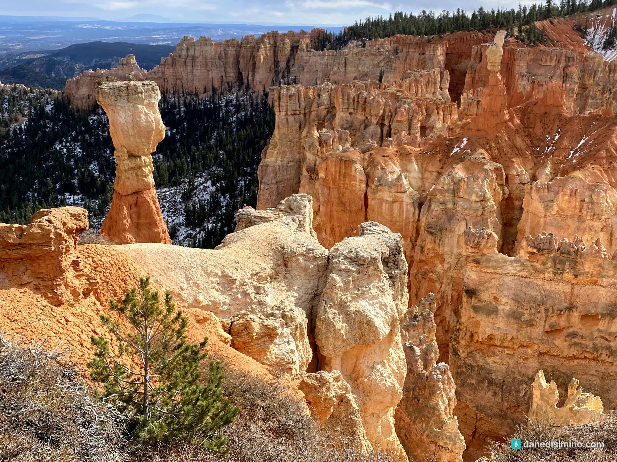
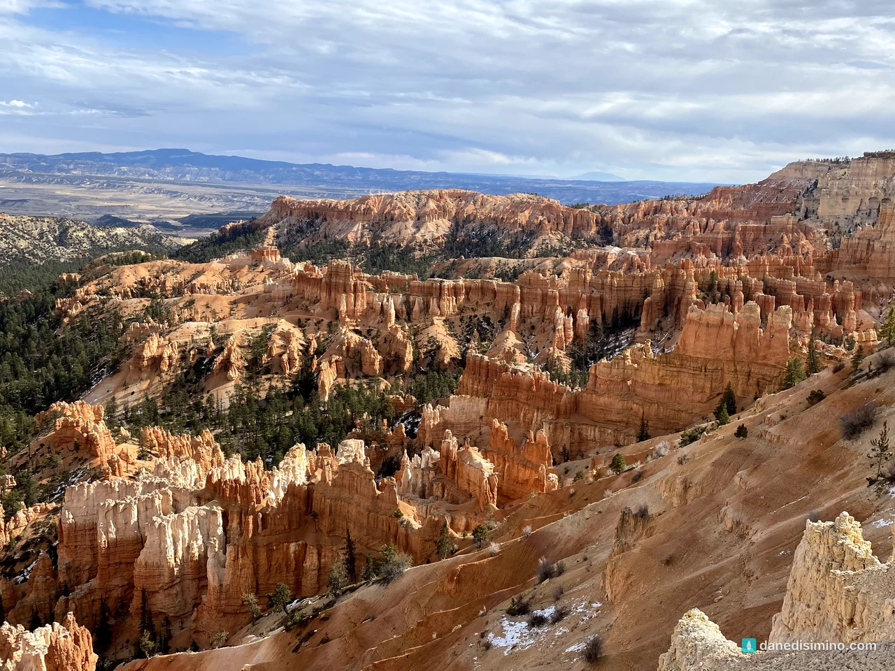
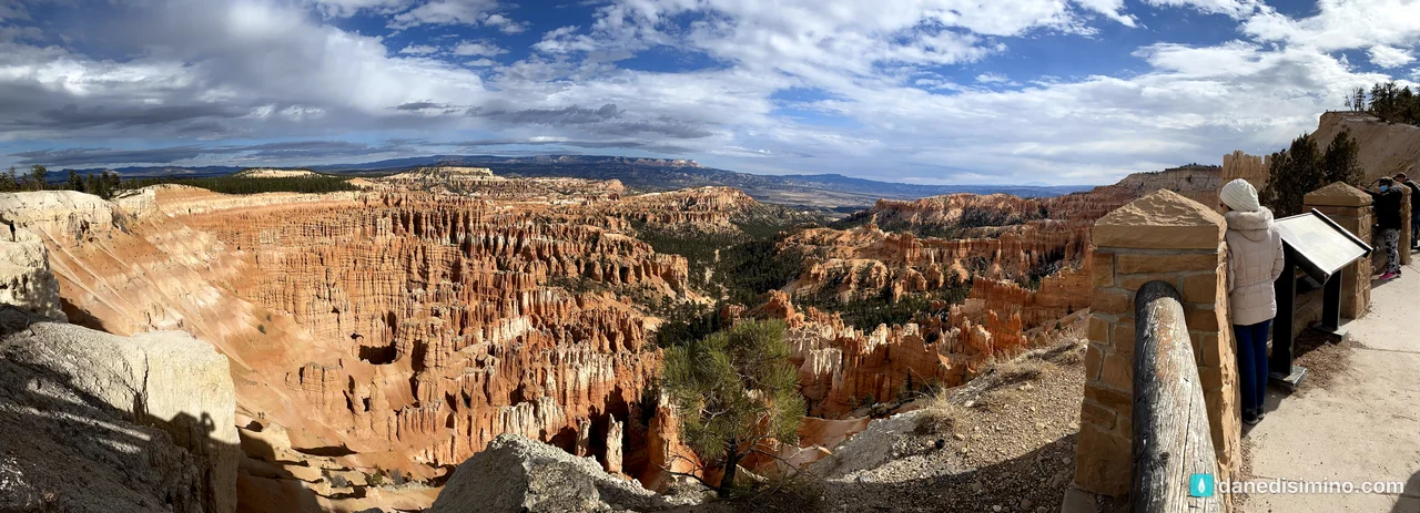
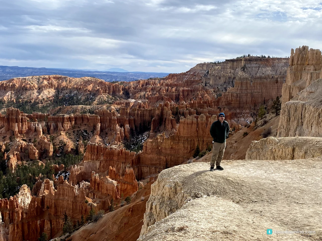
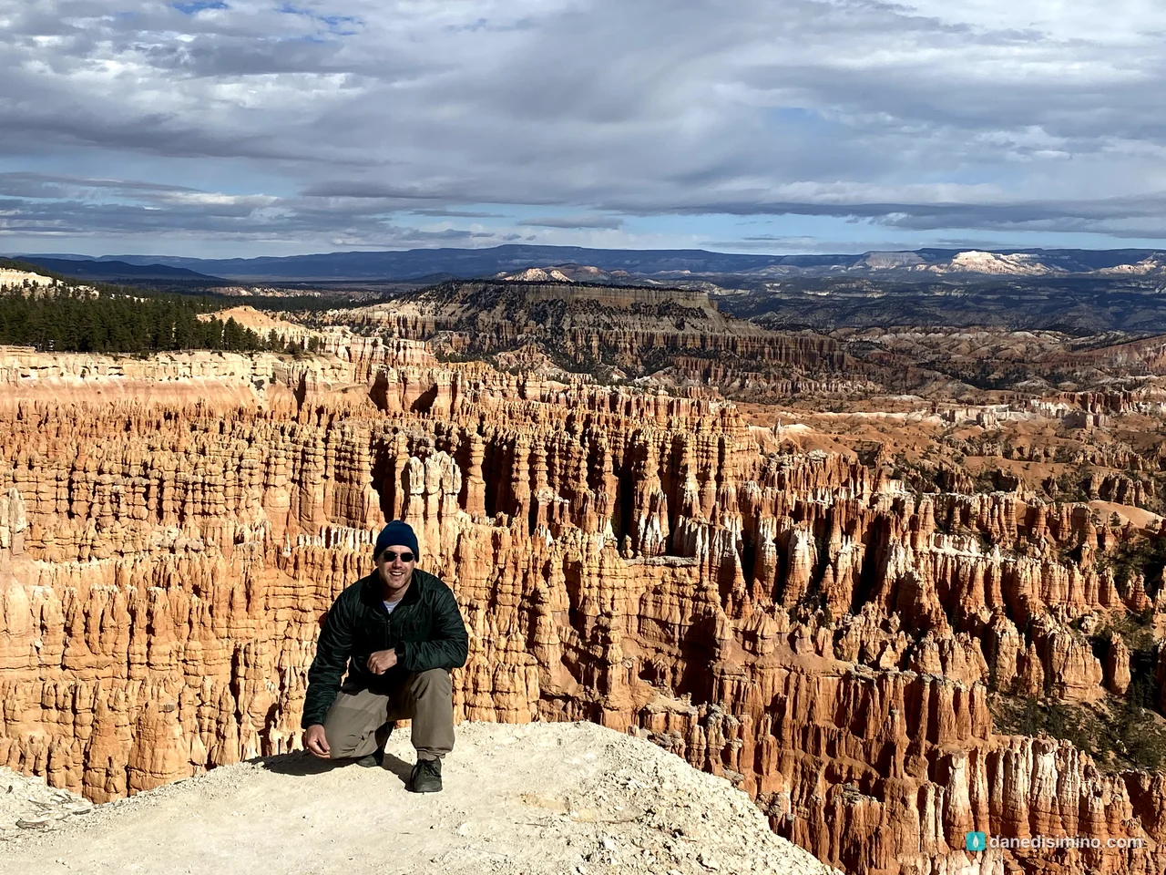
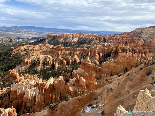
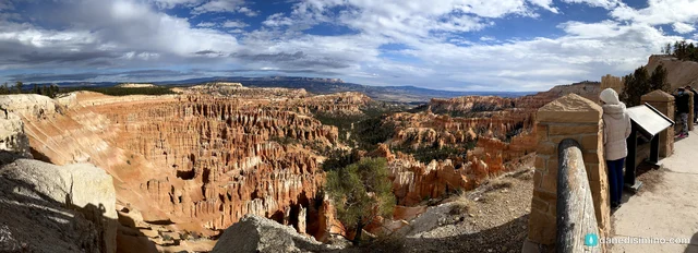
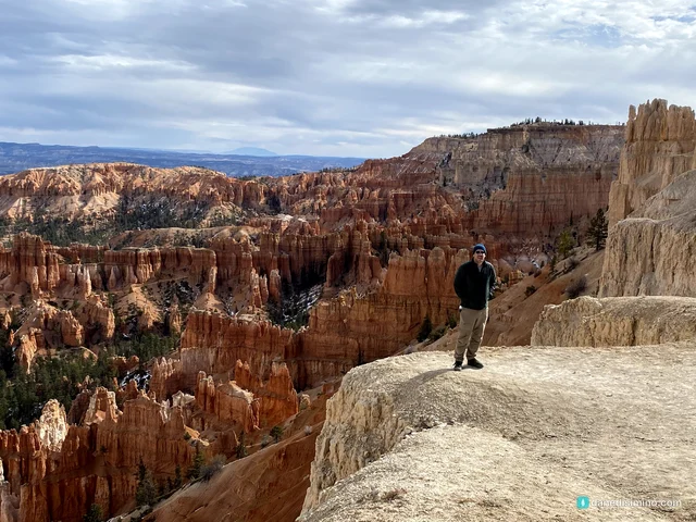
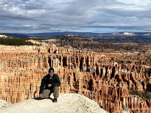
One November day on the rim of Bryce Canyon, just after a dusting of snow: the Scenic Drive to Rainbow Point, snow on the hoodoos at Black Birch Canyon, Agua Canyon and Natural Bridge, and the Bryce Amphitheater from Inspiration Point. The last stop of our four-park trip, and why I'd save time to hike down among the hoodoos.
Version 1.1 · Updated Nov 17, 2026
Map
When to go
Average monthly visits, 2023–2025. Source: NPS visitor statistics. ● marks the months we visited.
| January | 33,868 |
|---|---|
| February | 38,911 |
| March | 96,803 |
| April | 212,372 |
| May | 298,226 |
| June | 317,960 |
| July | 299,194 |
| August | 280,374 |
| September | 333,064 |
| October | 253,334 |
| November | 82,898 |
| December | 61,900 |
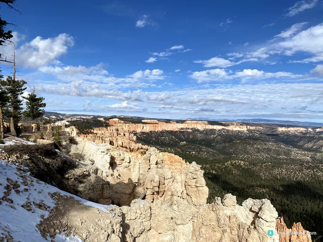
We had one big thing in our favor at Bryce Canyon: a gentle dusting of snow fell just before we arrived. So many of the most famous pictures of Bryce show snow on the spires, and that's exactly what we got to see. It was truly magical, a special and beautiful park to look at from the top.
We went on November 22, 2020, the last park on a four-park trip after Capitol Reef, Zion and the Grand Canyon's North Rim. Bryce isn't in my top five, but it's probably in my top 20, and it's a must-see. If you're asking which parks you have to see, Bryce is definitely one of them. Of the Utah parks, I'd put Zion first and Bryce second.
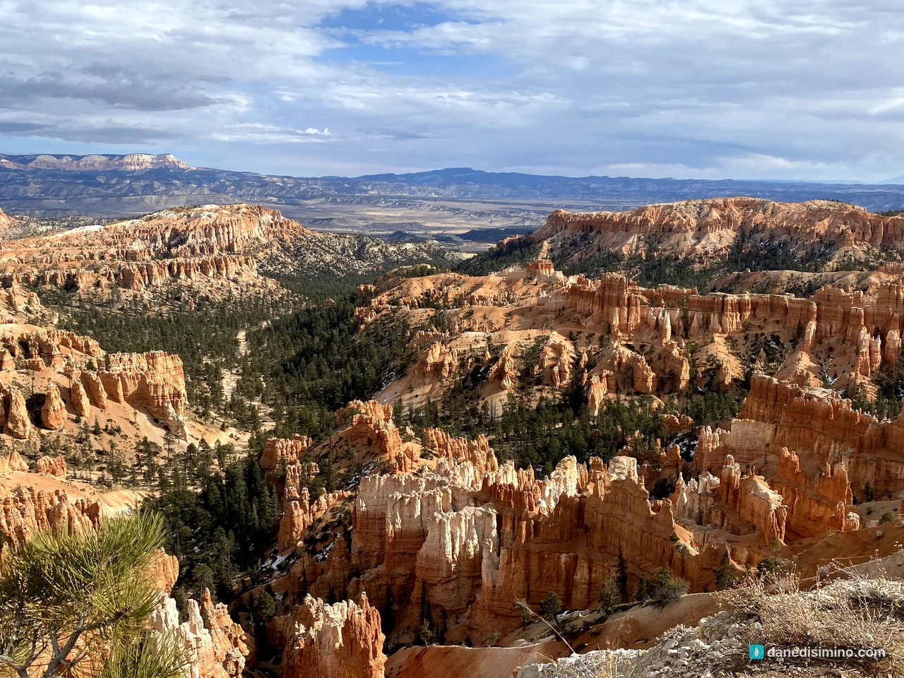
The famous photos show snow on the spires. That's what we got.
The short version
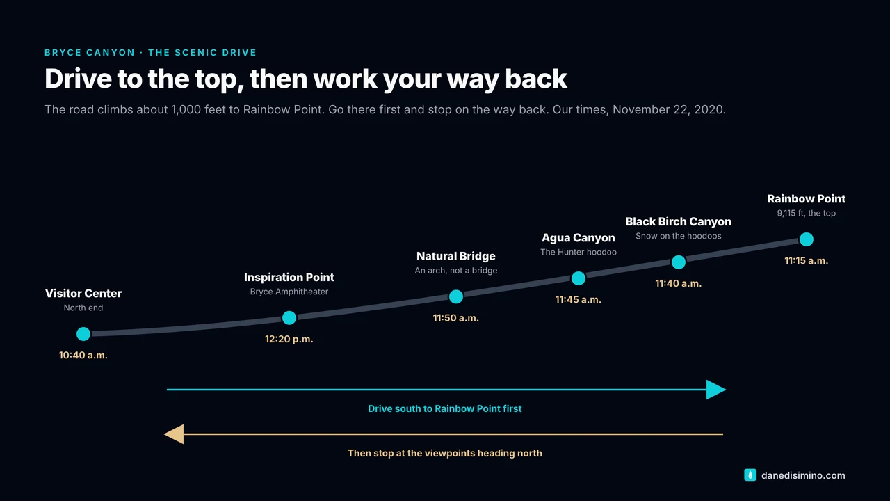
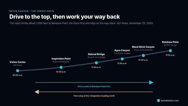
Drive to Rainbow Point first. The Scenic Drive dead-ends at the south end of the park. Drive to the end, then stop at the viewpoints on your way back.
Spend the most time at the Bryce Amphitheater. Inspiration, Sunset, Sunrise and Bryce Points look down on the world's largest collection of hoodoos.
Hike down into the hoodoos. We didn't have time, and it's my one regret. The Queen's/Navajo Combination Loop is the park's most recommended hike for first-timers.
Go in the cold months if you can. Snow on red hoodoos is the classic Bryce picture.
Dress warm. The rim is high, from about 8,000 feet to more than 9,000.
The park at a glance
- 9,115 ft
- Rainbow Point, the highest viewpoint
- 5.5 mi
- The Rim Trail, Bryce Point to Fairyland
- 1.8 mi
- Queen's Garden Trail, round trip
- $35
- Per vehicle, good for 7 days
Where: southern Utah, about two hours northeast of Zion. Entrance is off Utah 63, just south of Utah 12.
Entrance fee: $35 per vehicle, good for seven days. The park is cashless.
When: September is the busiest month and January the quietest. Late fall and winter bring the snow.
It isn't a canyon: Bryce is a series of bowl-shaped amphitheaters carved into the edge of the Paunsaugunt Plateau.
Contact: nps.gov/brca. In an emergency, call 911.
The visitor center
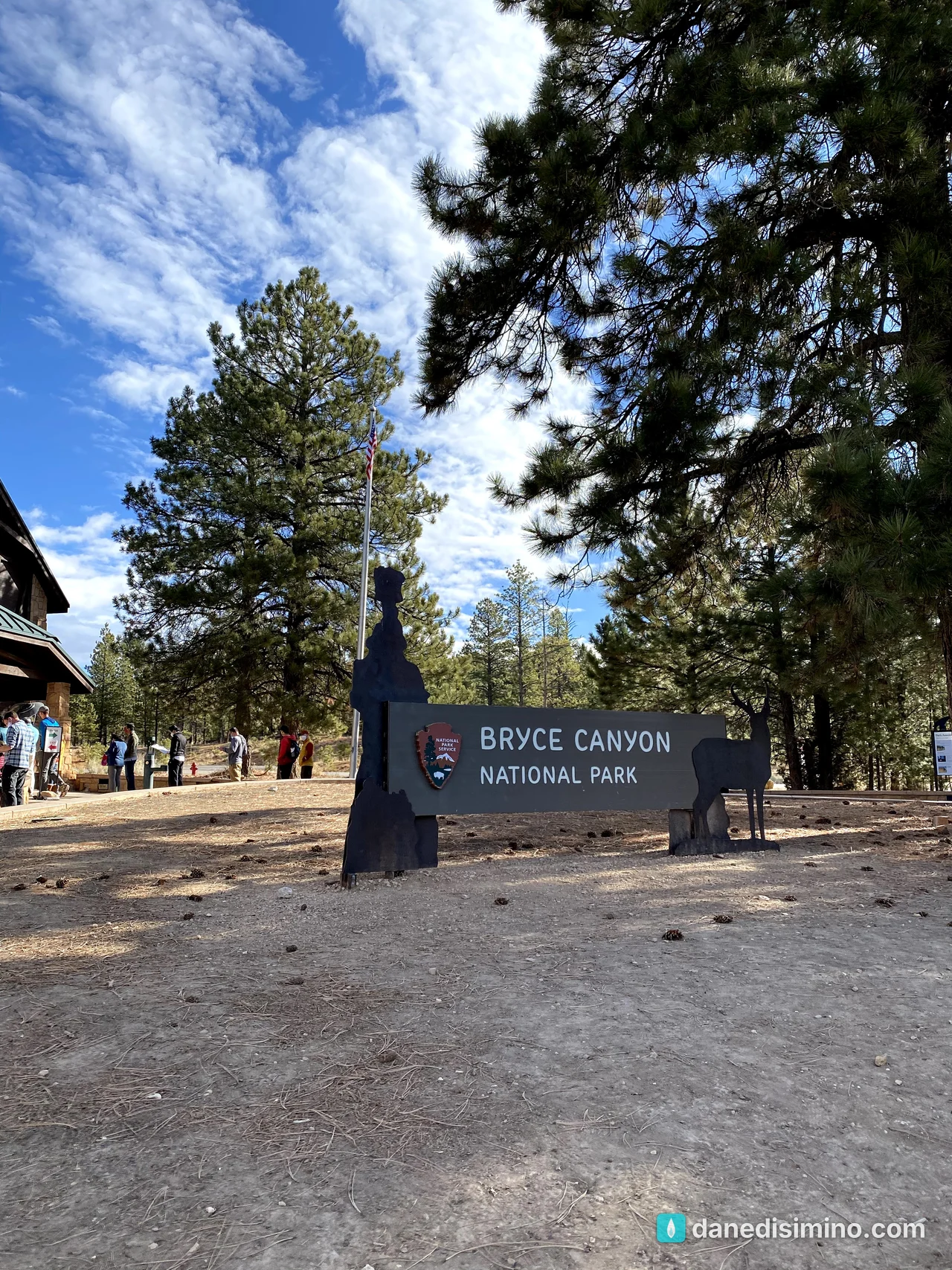
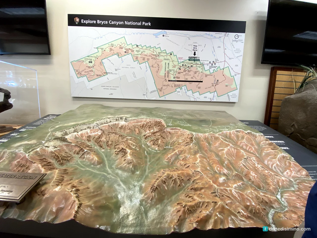
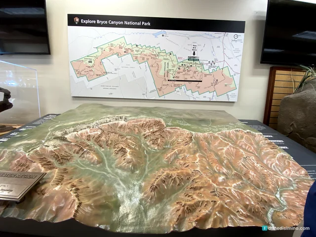
We started at the visitor center, where a big relief model of the park shows the whole Scenic Drive and the amphitheaters along the plateau's edge. It's a good way to get oriented before you drive.
Rainbow Point: the top of the park
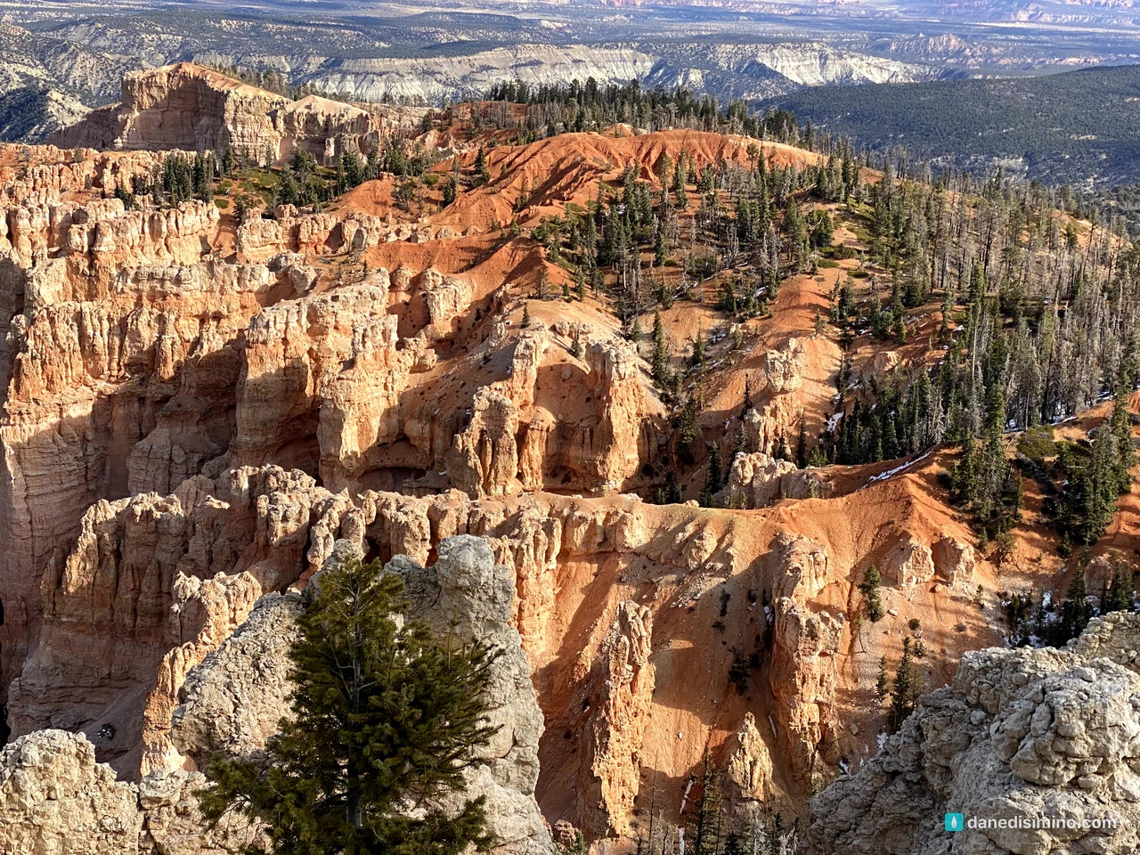
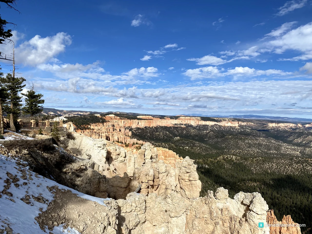
We drove straight to the end of the road. At 9,115 feet, Rainbow Point and neighboring Yovimpa Point are the highest viewpoints in the park. The whole plateau tilts, so the south end is about 1,000 feet higher than the visitor center. The view stretches across the Grand Staircase, step after step of cliffs falling away to the south.
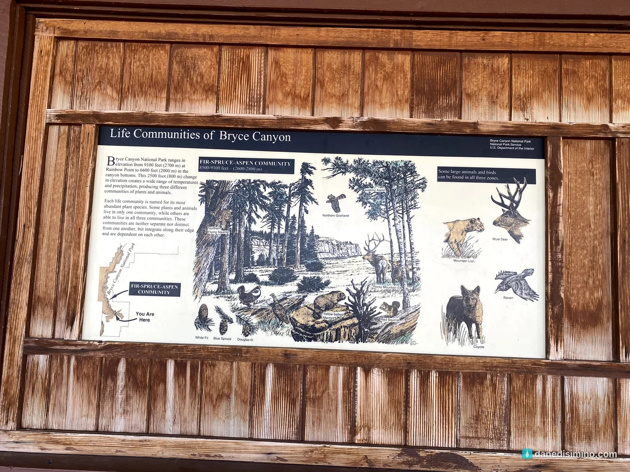
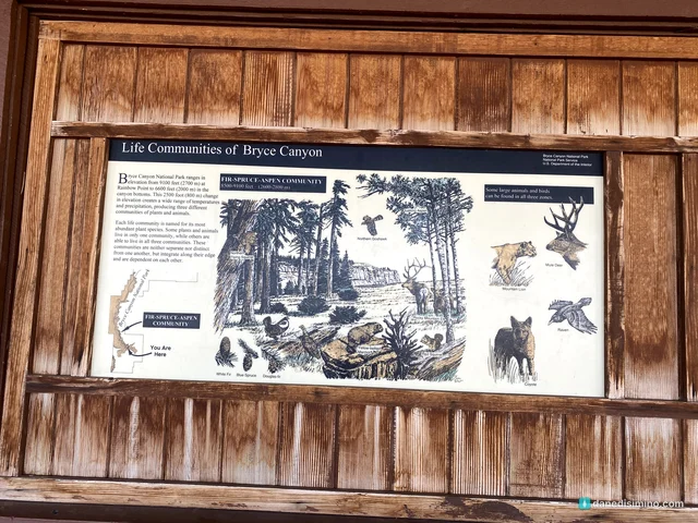
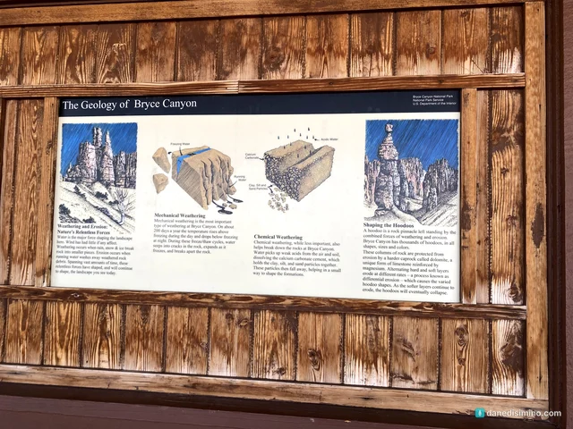
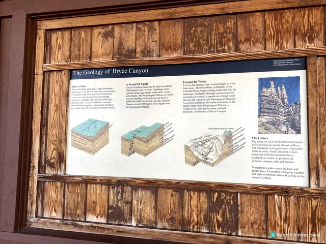
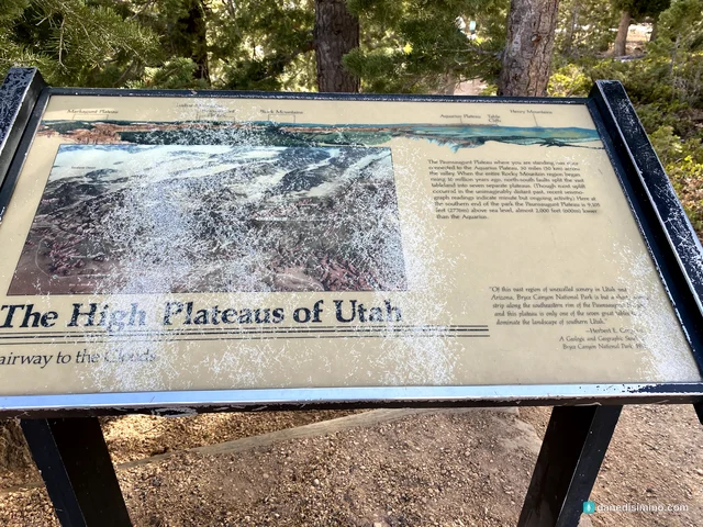
The signs at Rainbow Point are worth a few minutes: the plant and animal communities that change with elevation, how the hoodoos are made, and the high plateaus of Utah.
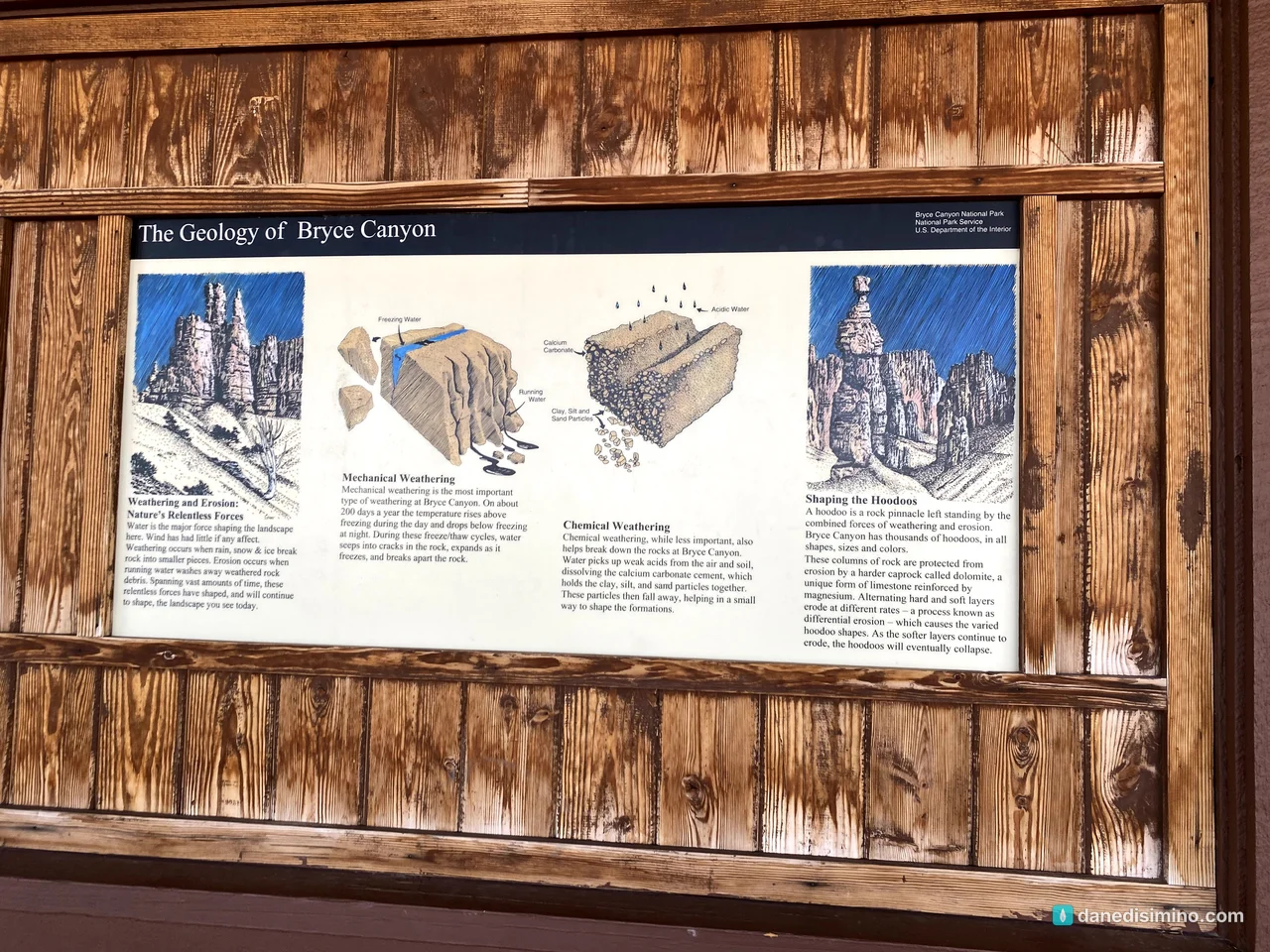
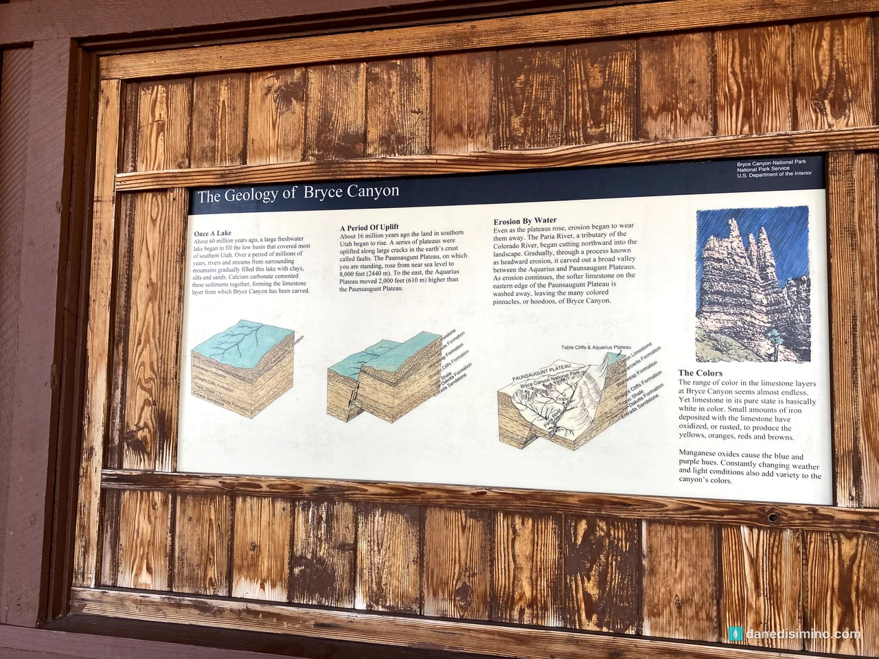
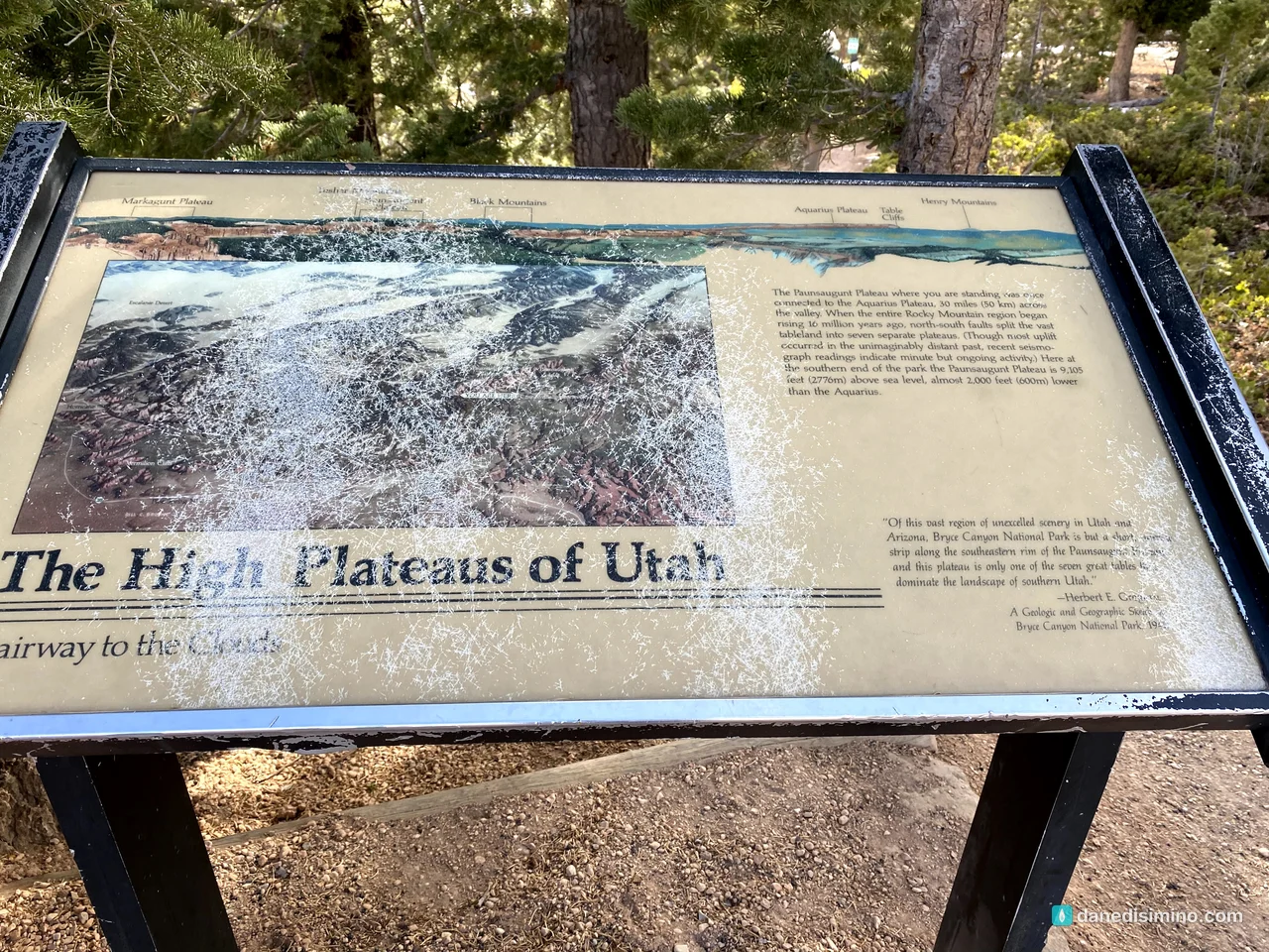
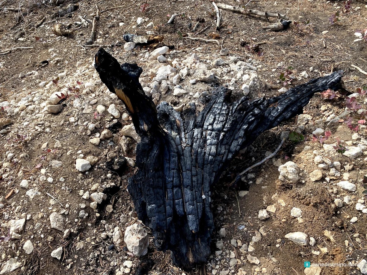
From Rainbow Point, the easy one-mile Bristlecone Loop wanders through some of the park's oldest trees.
Heading back north
Then we worked our way back north, stopping at the viewpoints along the way. This is where the snow made the day. At Black Birch Canyon, a light coat of white covered the ledges between the hoodoos.
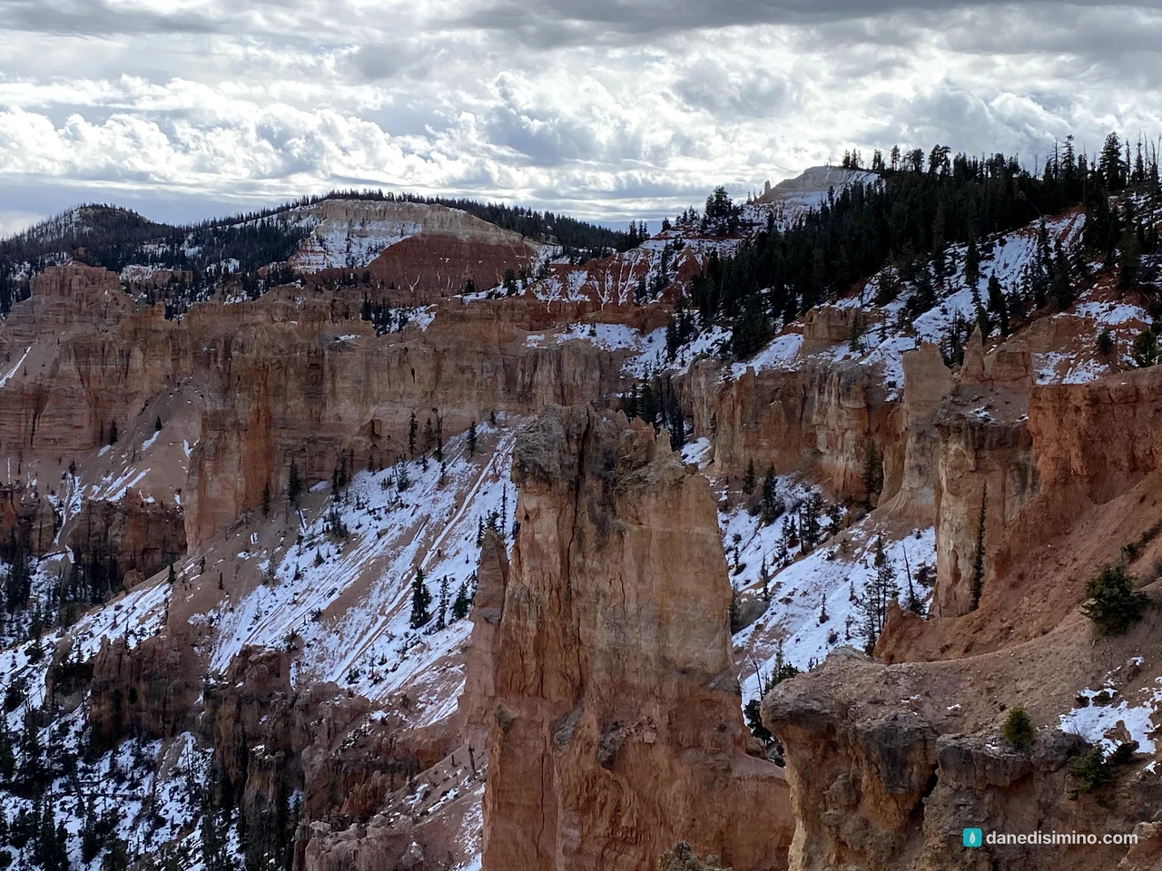
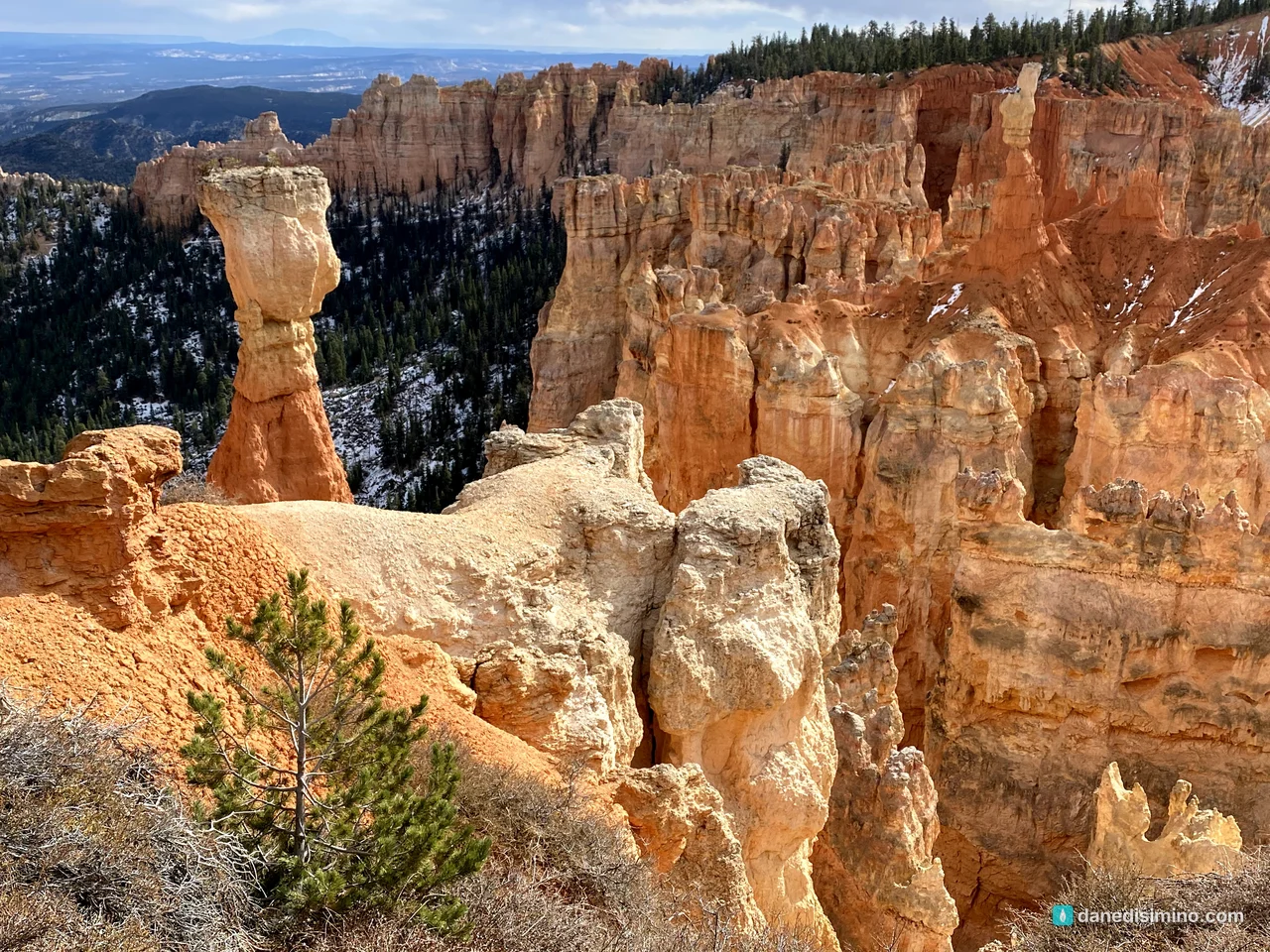
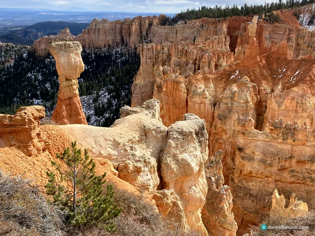
At Agua Canyon, two big hoodoos stand out from the cliff. The taller one is called the Hunter. The park stopped officially naming hoodoos years ago, because so many of them change shape or fall, so you're free to decide what you see.
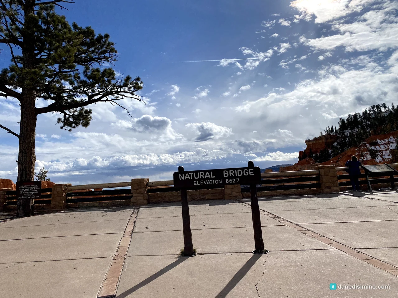
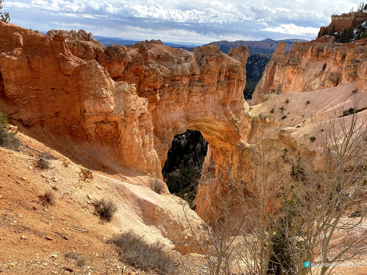
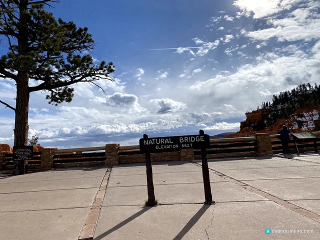
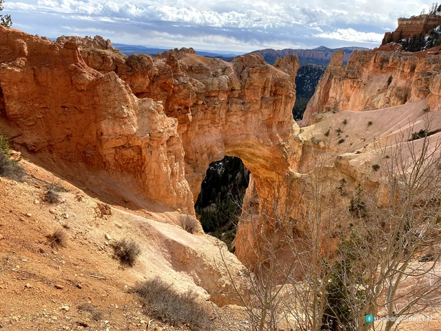
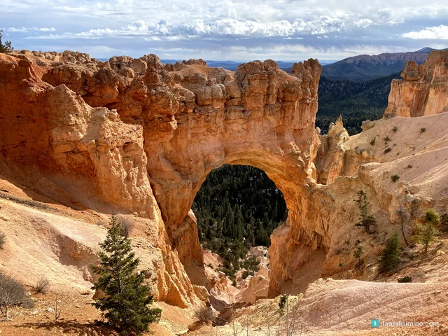
Natural Bridge isn't a bridge at all. A true natural bridge is cut by a stream; this is an arch, opened by ice expanding in the cracks of the rock. Someday the top will fall and leave new hoodoos behind.
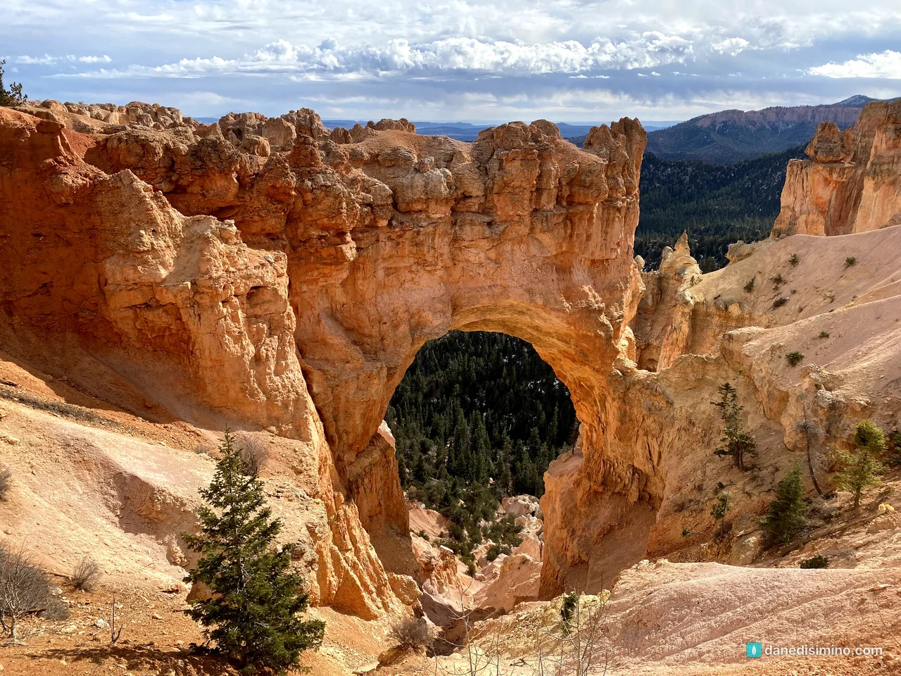
How hoodoos are made
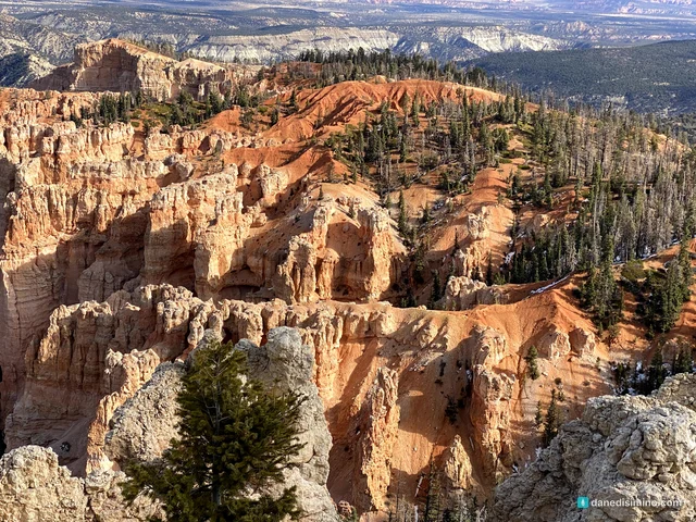
The rocks of Bryce were laid down in an ancient lake and floodplain, then lifted thousands of feet. Now water and ice do the carving. Snowmelt seeps into cracks in the rock, freezes at night and expands, prying the rock apart. Rain rounds off the edges. A hard layer on top protects the softer rock beneath, and that's what leaves the tall spires standing. Bryce has the largest collection of them in the world.
The rock is the Claron Formation, a colorful, calcium-rich mudstone and limestone. Bryce sits high enough that on more than 170 nights a year the temperature swings above and below freezing. Water expands about 9 percent when it freezes, so every one of those nights wedges the cracks a little wider. The NPS calls it frost-wedging. Over time, walls called fins split into windows, and windows collapse into hoodoos. Each amphitheater is carved at least 1,000 feet into the edge of the plateau.
The name, and the park
Paiute people knew this country long before settlers arrived. The park is named for Ebenezer and Mary Bryce, Mormon pioneers who settled below the amphitheater in the 1870s. Ebenezer is famously said to have called it "a hell of a place to lose a cow."
Bryce Canyon became a national monument on June 8, 1923, was renamed Utah National Park in 1924, and became Bryce Canyon National Park on February 25, 1928. At about 56 square miles, it's small by national park standards.
Inspiration Point and the Bryce Amphitheater
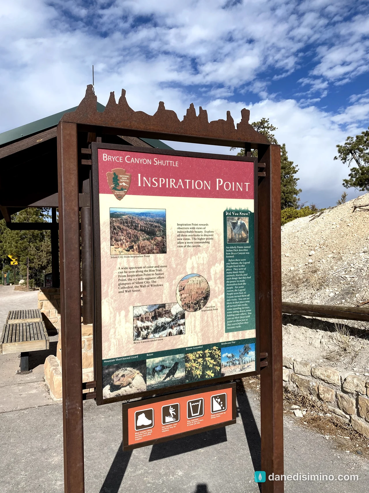
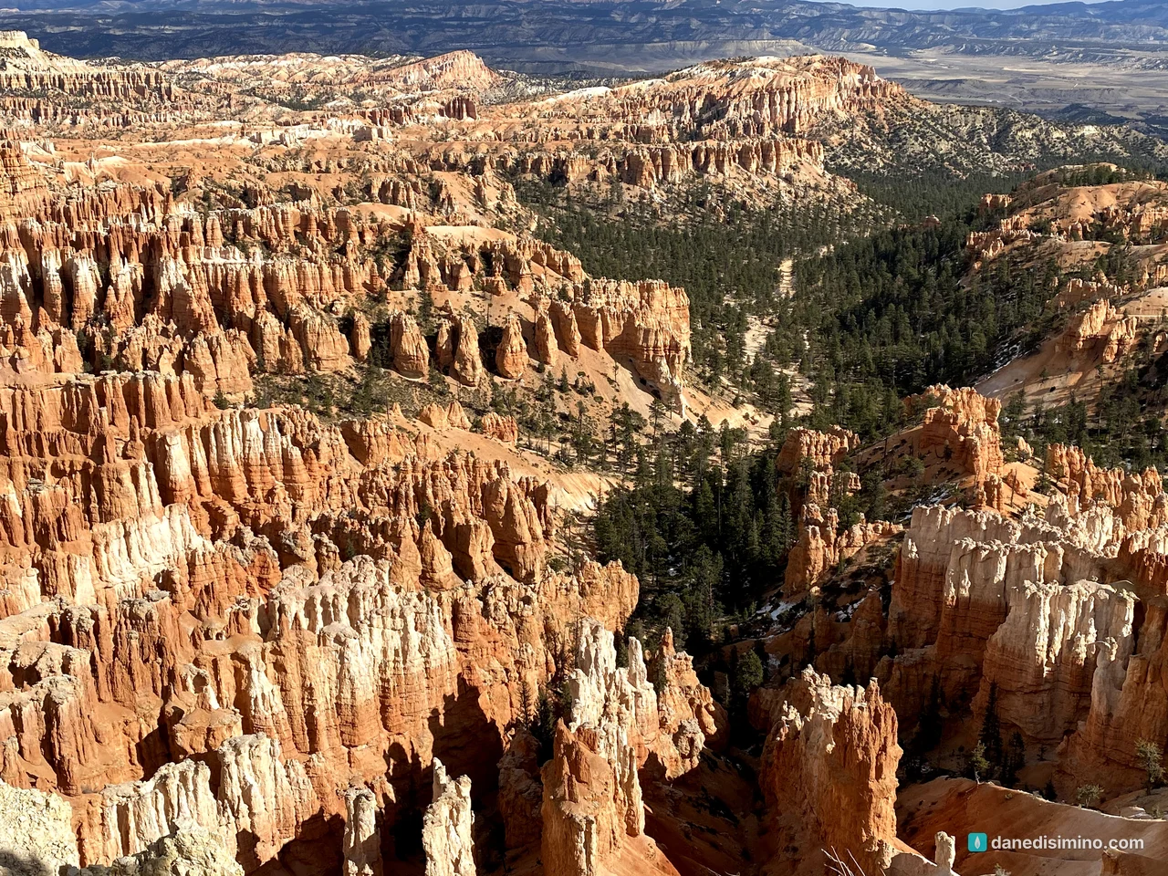
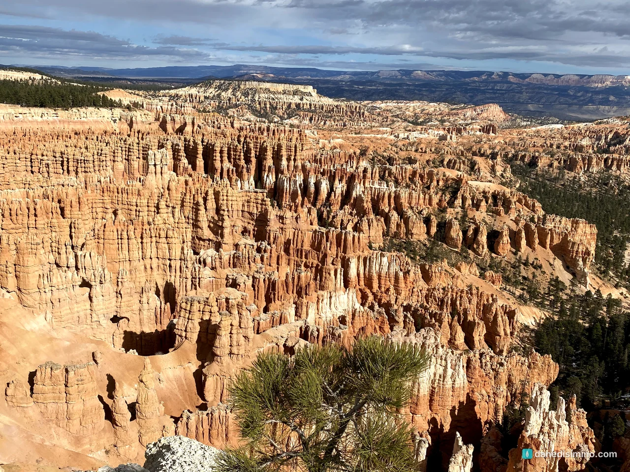
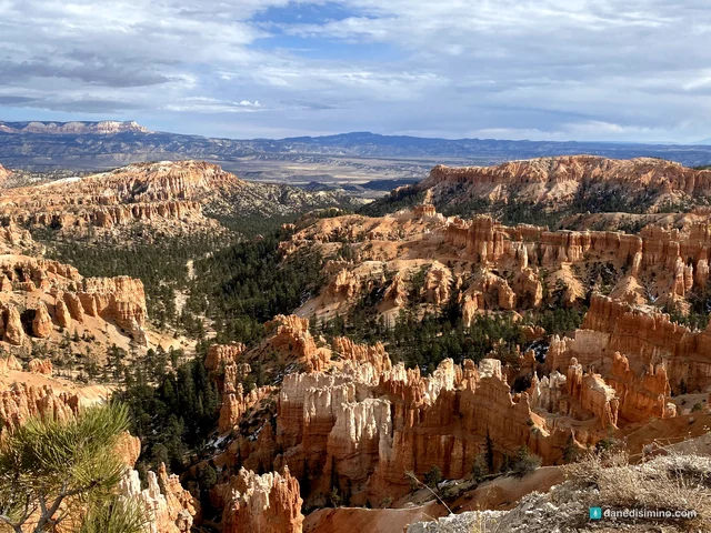
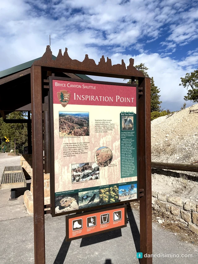
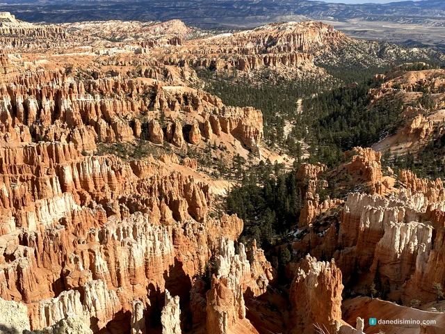
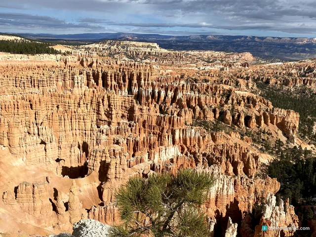
Our last stop on the drive was Inspiration Point, one of the best views in the park. It looks straight down into the Bryce Amphitheater, a huge bowl packed with thousands of hoodoos, with views that can stretch nearly 100 miles to the east.
Back at the visitor center
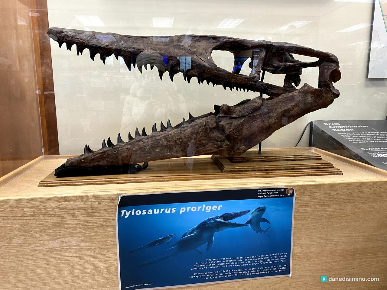
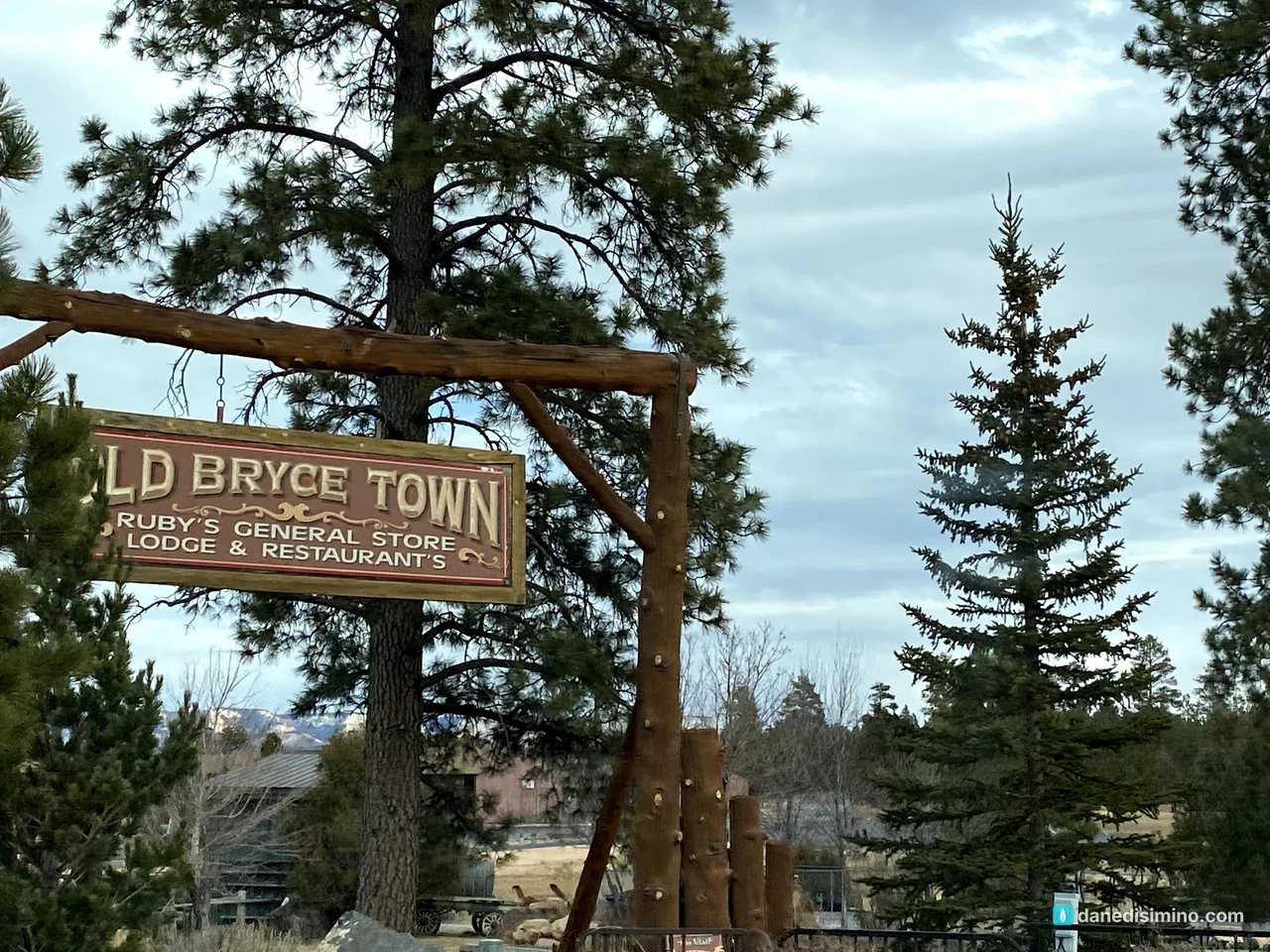
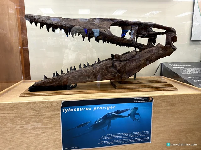
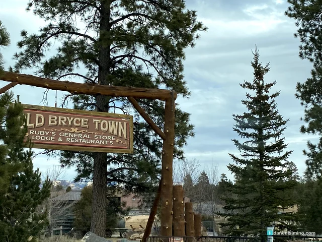
Before leaving, we stopped back at the visitor center, where one exhibit shows the skull of a mosasaur, a giant marine reptile. Then we drove out past Old Bryce Town, the shops by Ruby's Inn just outside the park.
The drive home
From Bryce we drove back across Utah and into Colorado, and spent the night at a hotel in Glenwood Springs. The next morning we fought our way home to Colorado Springs through snow on I-70 East. After snow on the hoodoos, it was a fitting end to an epic road trip.
Where to stay
The Lodge at Bryce Canyon is inside the park, near the amphitheater. Just outside the entrance, Bryce Canyon City has Ruby's Inn and other hotels. The park has two campgrounds, North and Sunset, both close to the rim.
Make it a bigger trip
Pair it with Zion. They're about two hours apart and make a natural pair.
Add Capitol Reef. Scenic Utah 12 runs from Bryce toward Torrey and Capitol Reef.
Make it the grand loop. Capitol Reef, Zion, the Grand Canyon's North Rim and Bryce made a great trip for us.
What I'd do differently
Plan half a day for a hike. Go down the Queen's Garden or the Queen's/Navajo Loop.
Watch a sunrise. The amphitheaters face east, so early morning light on the hoodoos is the show.
Hope for snow. We got lucky. If you can visit in late fall or winter, you may too.
What Bryce Canyon taught me
Bryce taught me what white does to red. The hoodoos are deep orange and red, and a light snow made every ledge stand out. It was the most beautiful contrast of the whole trip.
"Come now, let's settle this," says the LORD. "Though your sins are like scarlet, I will make them as white as snow. Though they are red like crimson, I will make them as white as wool." (Isaiah 1:18, NLT)
Red covered in white. That's grace.
Questions?
Ask me anything about Bryce Canyon: the Scenic Drive, which hike to take, seeing snow on the hoodoos, or pairing it with Zion and Capitol Reef. I answer every question.
Photos
Sources
- Bryce Canyon National Park (NPS)
- Hoodoos (NPS)
- Rainbow Point (NPS)
- Black Birch Canyon (NPS)
- Agua Canyon (NPS)
- Natural Bridge (NPS)
- Inspiration Point (NPS)
- Bryce Amphitheater wayside (NPS)
- Queen's/Navajo Combination Loop (NPS)
- Queen's Garden Trail (NPS)
- The Rim Trail (NPS)
- Fees and passes (NPS)
- History and culture (NPS)
Pathlight
Park guides from the road. A printable trip sheet comes with them when one is ready.